We start the route in the car park of the Anayet ski slope
Anayet peak
(there are not many places so it is advisable to arrive early), the area is known as Corral de las Mulas, in Tena Valley.
It is a very busy route and a great attraction for those who decide to bivouac and spend the night at the foot of the Anayet peak.
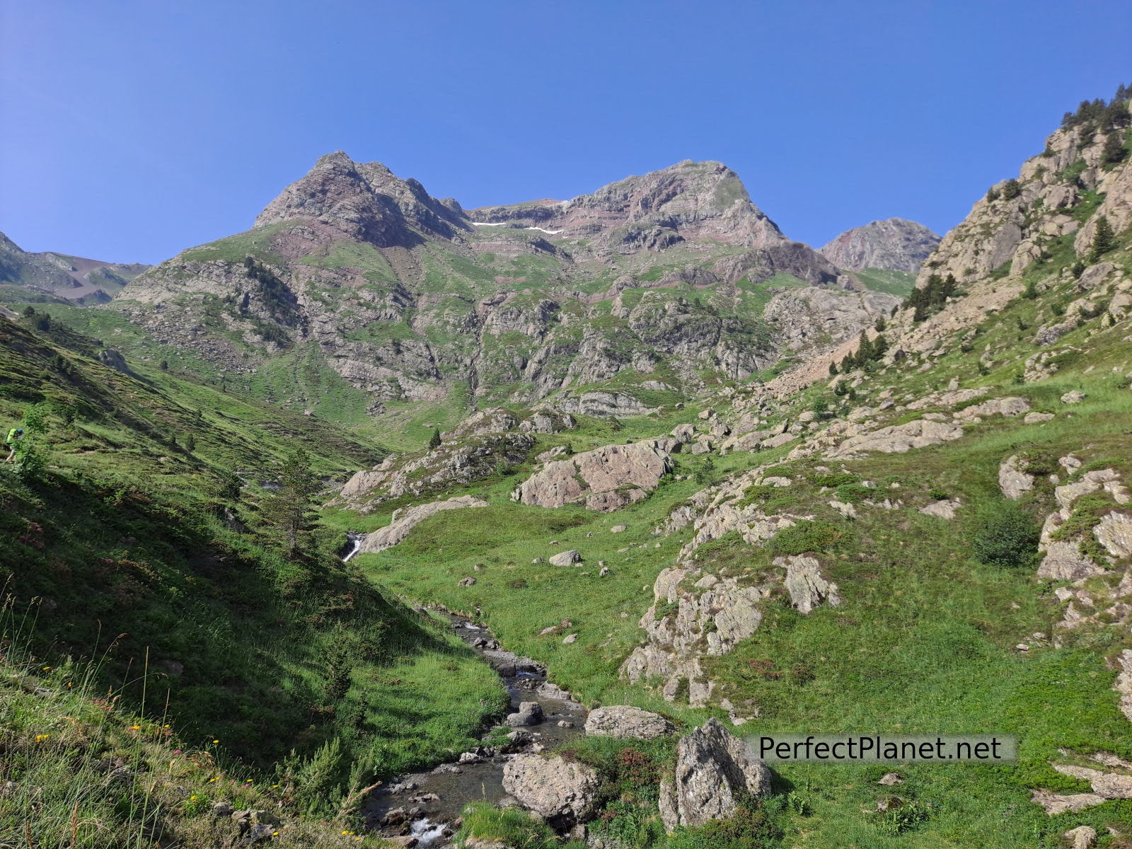
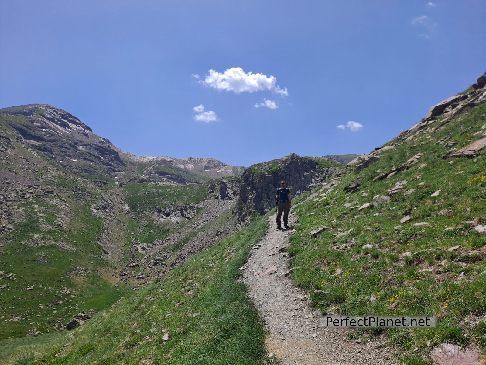
The ascent to the lakes is easy, just follow the GR signs from the ski slopes and go up the river for about 5 kilometres, entering the Culivillas ravine. Remember to take plenty of water and sun cream, as it is a very sunny route.
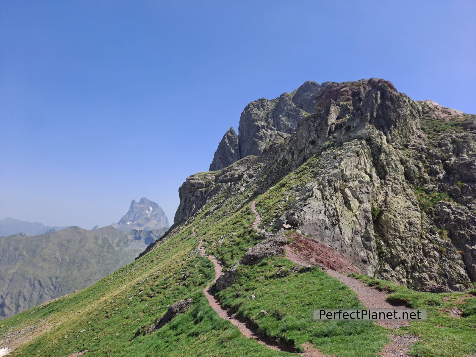
Path
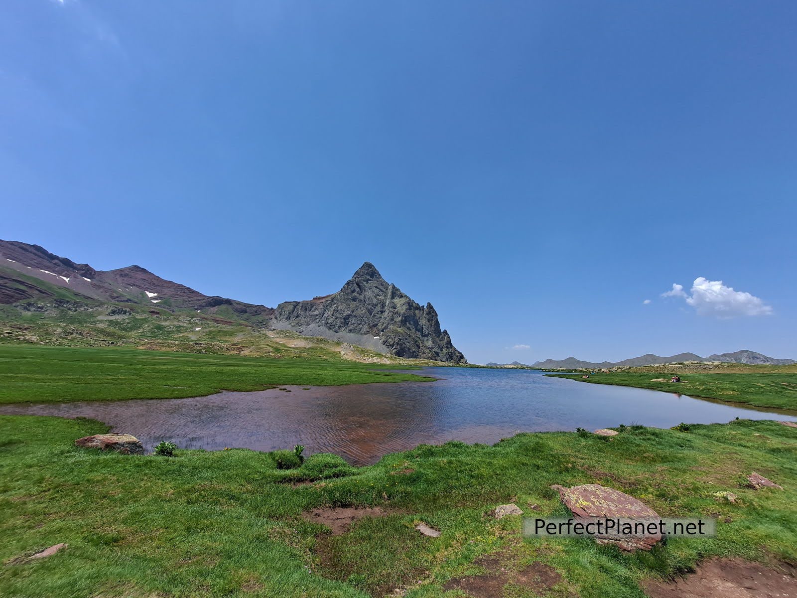
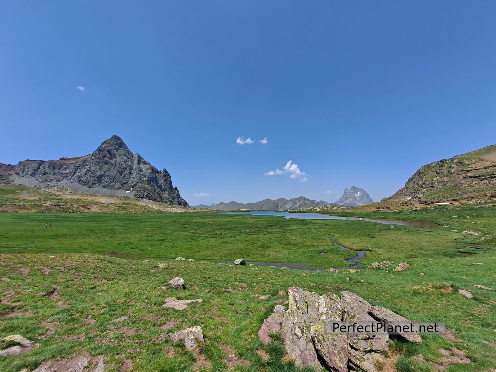
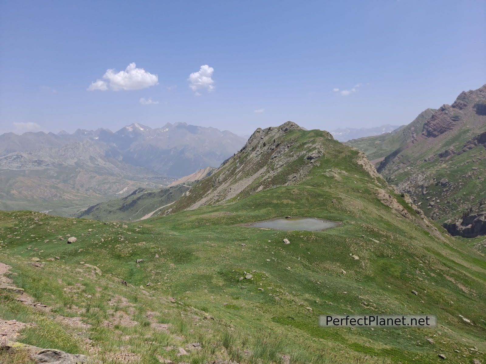
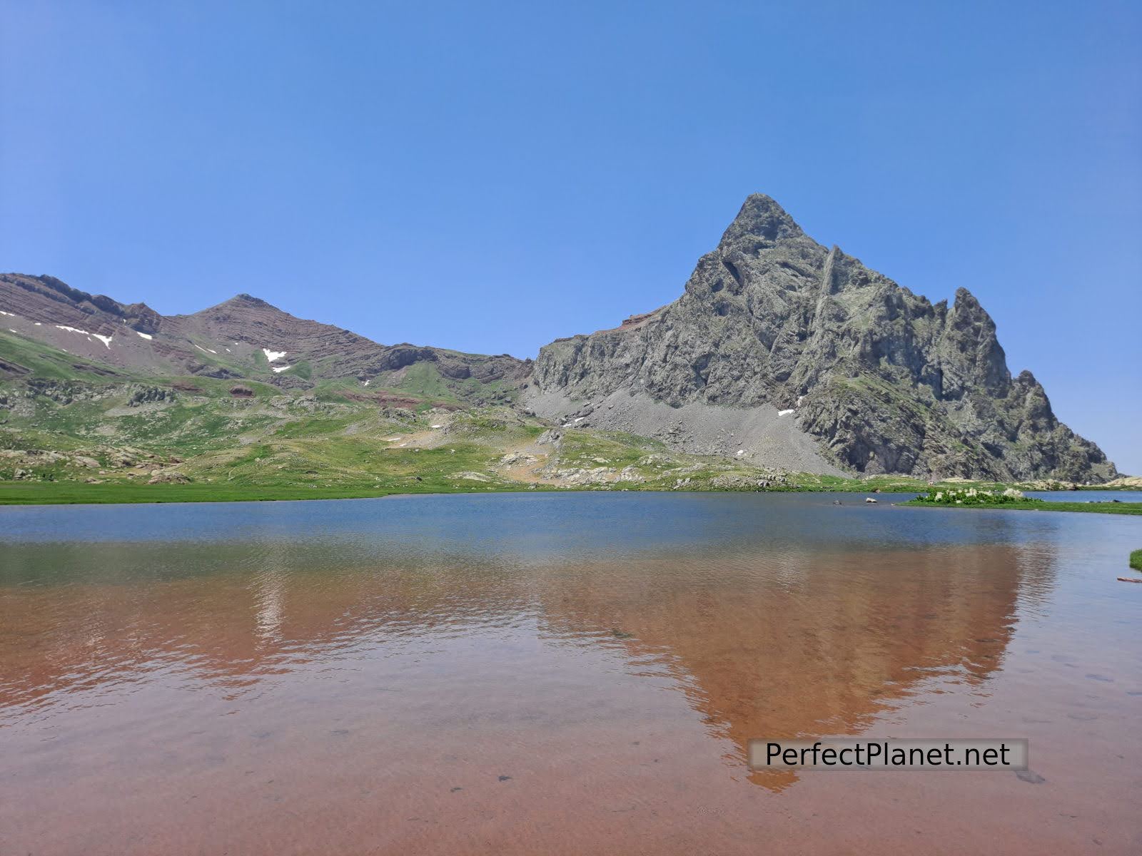
From the lakes (2,224 m) you have impressive views of the Anayet peak.
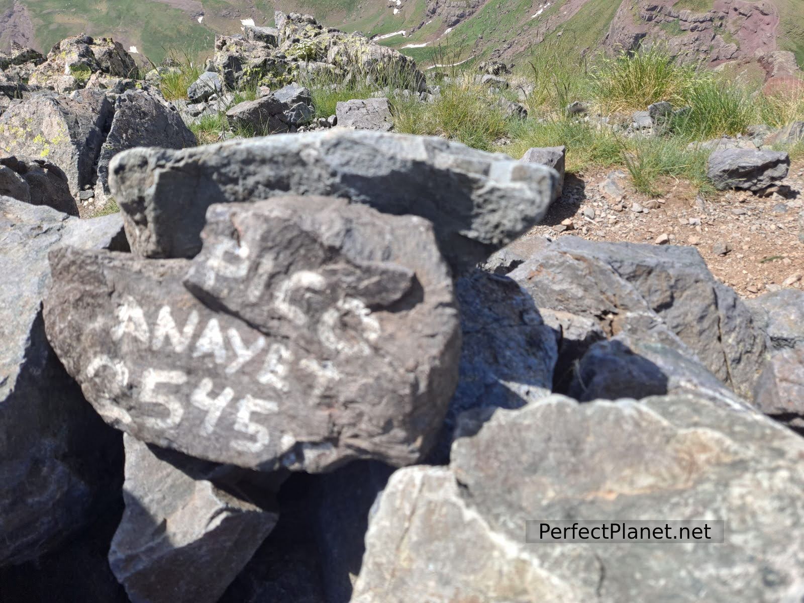
Vértice

Lakes
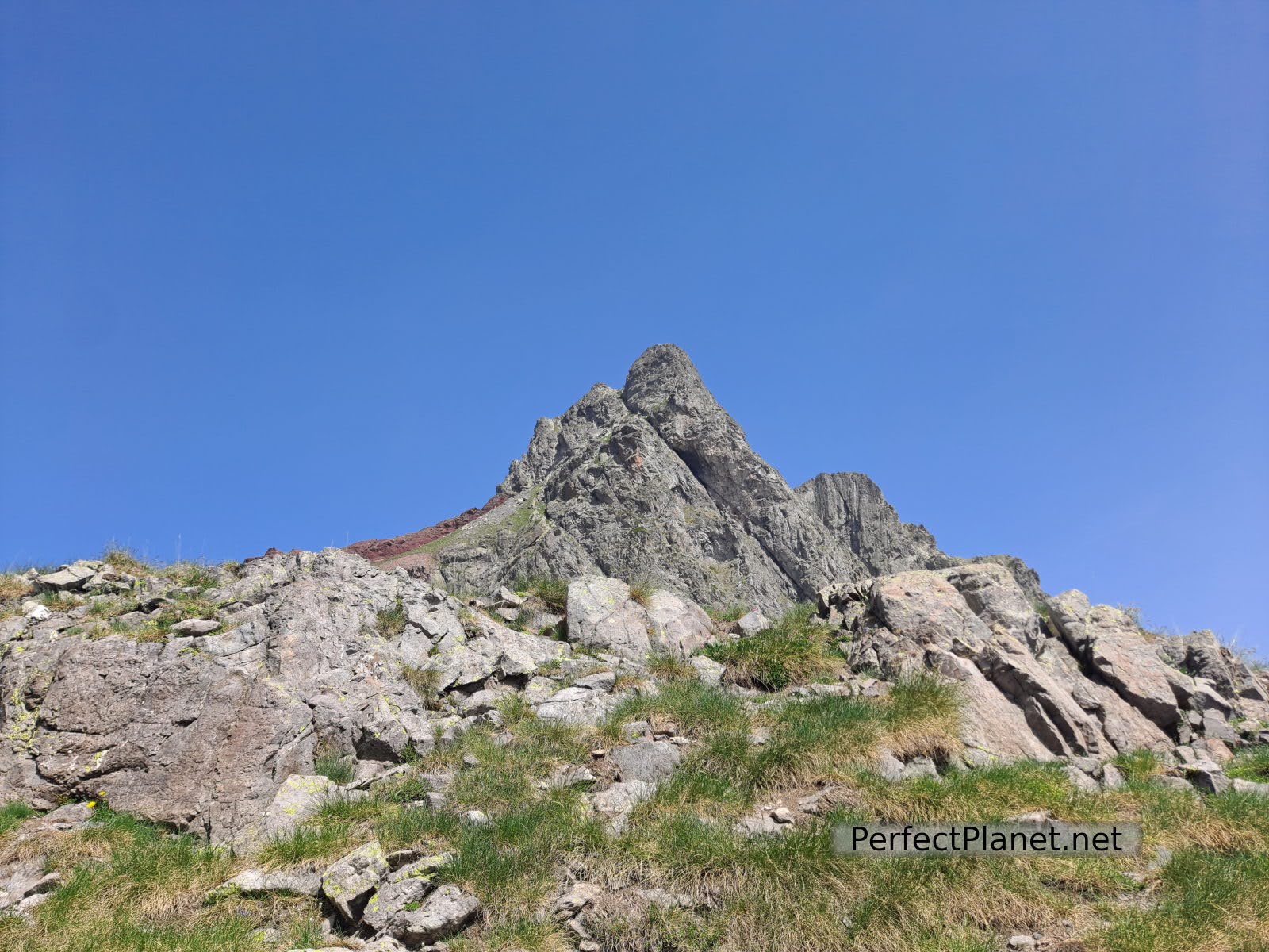
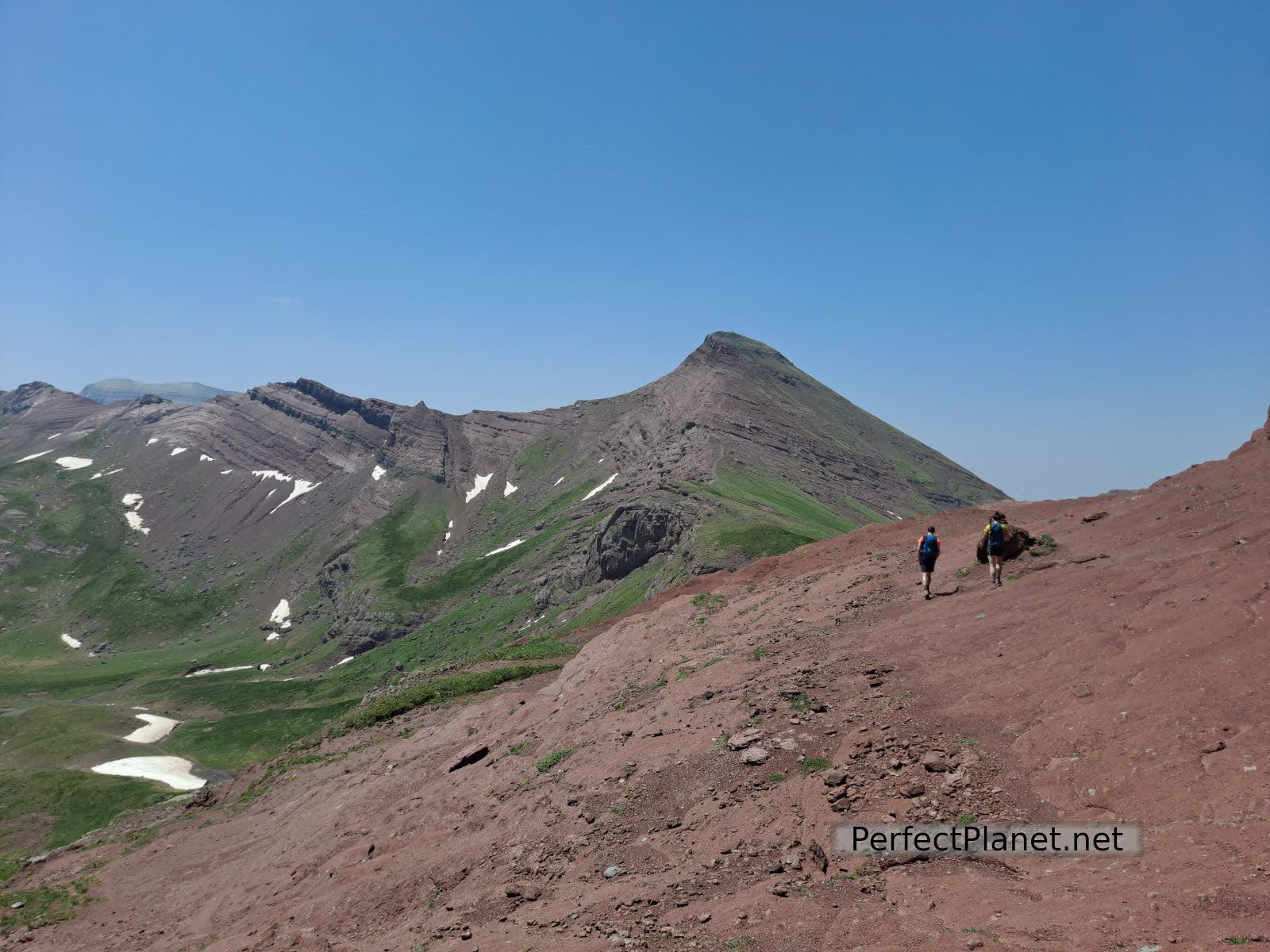
Once at the lake follow the GR 11 markings to the pass. Once here you decide whether to go left to Vértice (2,559 m), which is easier, or right to Anayet peak (2,545 m), which is more complicated and not recommended if you are not used to mountaineering as it has a fairly exposed stretch of chains (easy to pass, only complicated by too many people and on the way back as the rock is polished and slippery if wet) and a simple chimney where you have to be careful of falling stones.
Anayet peak
The Anayet peak is characterised by the reddish colour of its slopes as a result of the volcanic action in the area.
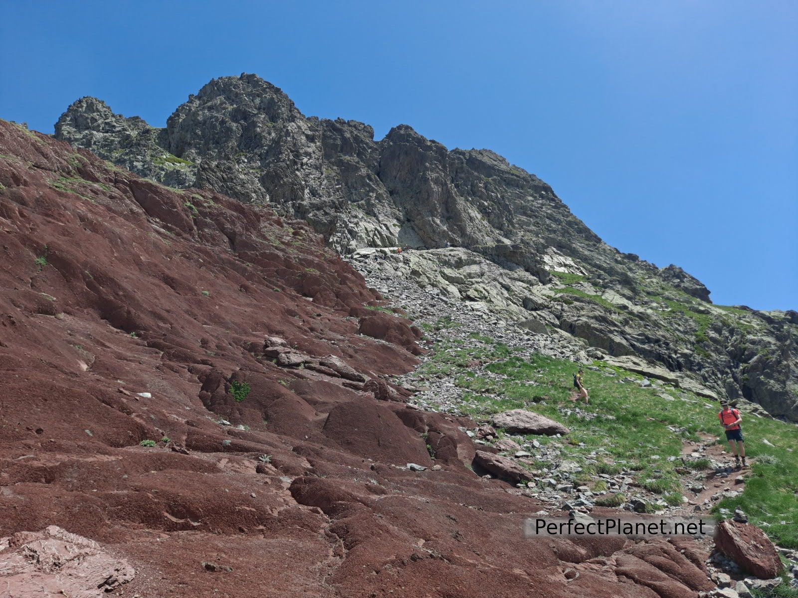
Stretch of chains and chimney
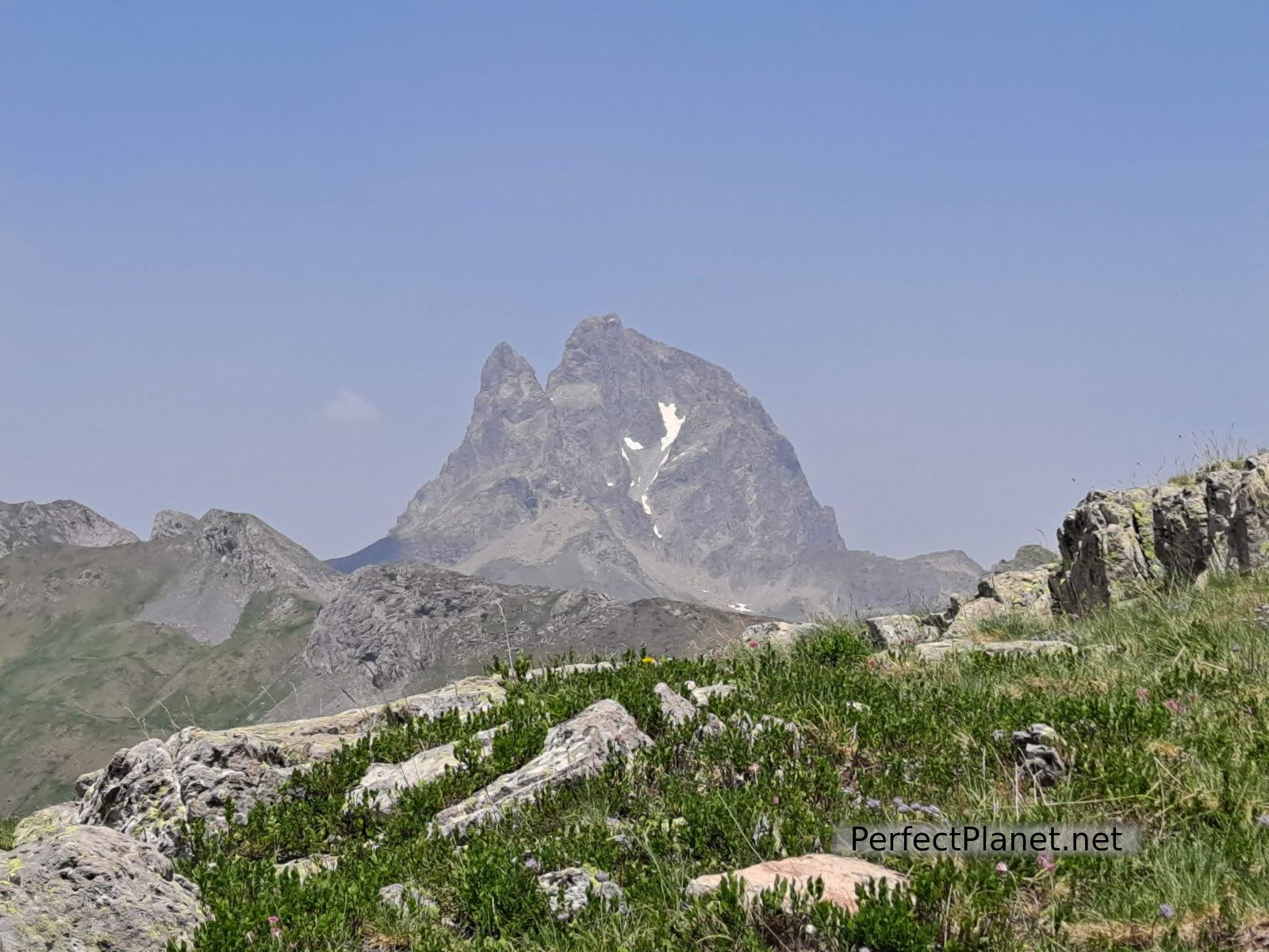
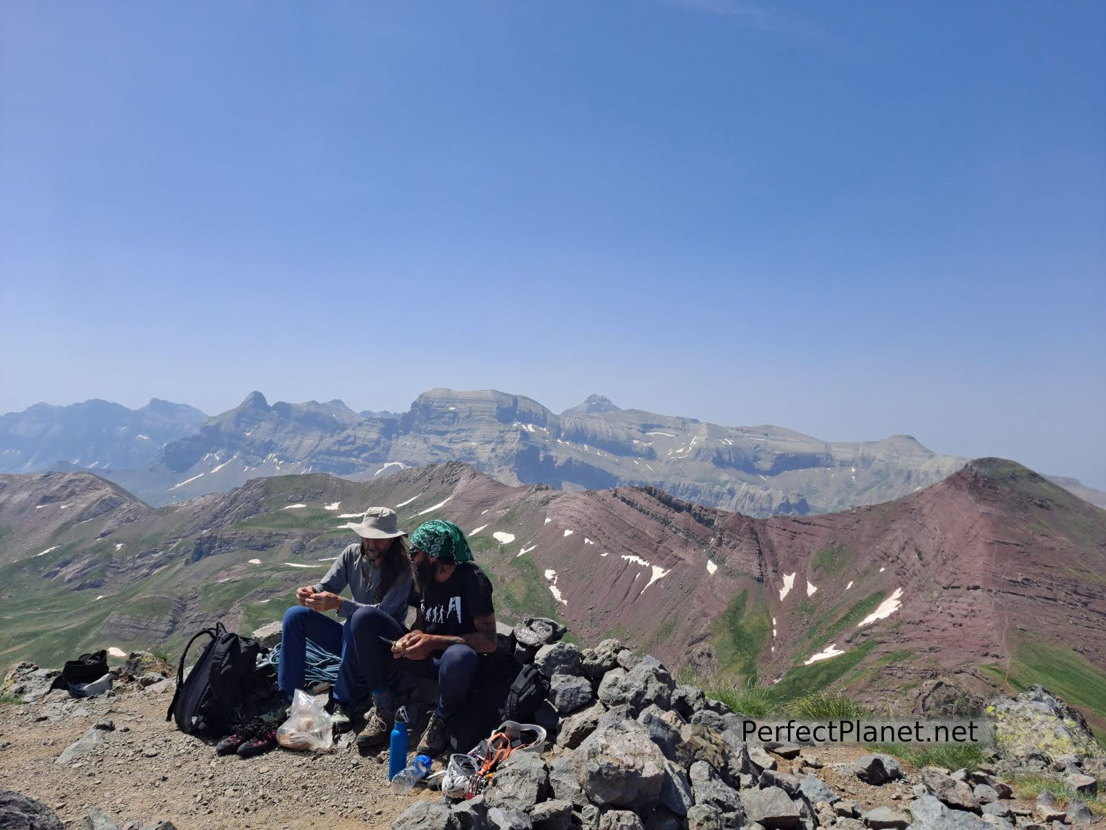
Once at the top, enjoy the 360º views. In front of us the impressive Midi D'ossau peak.
Summit
Views
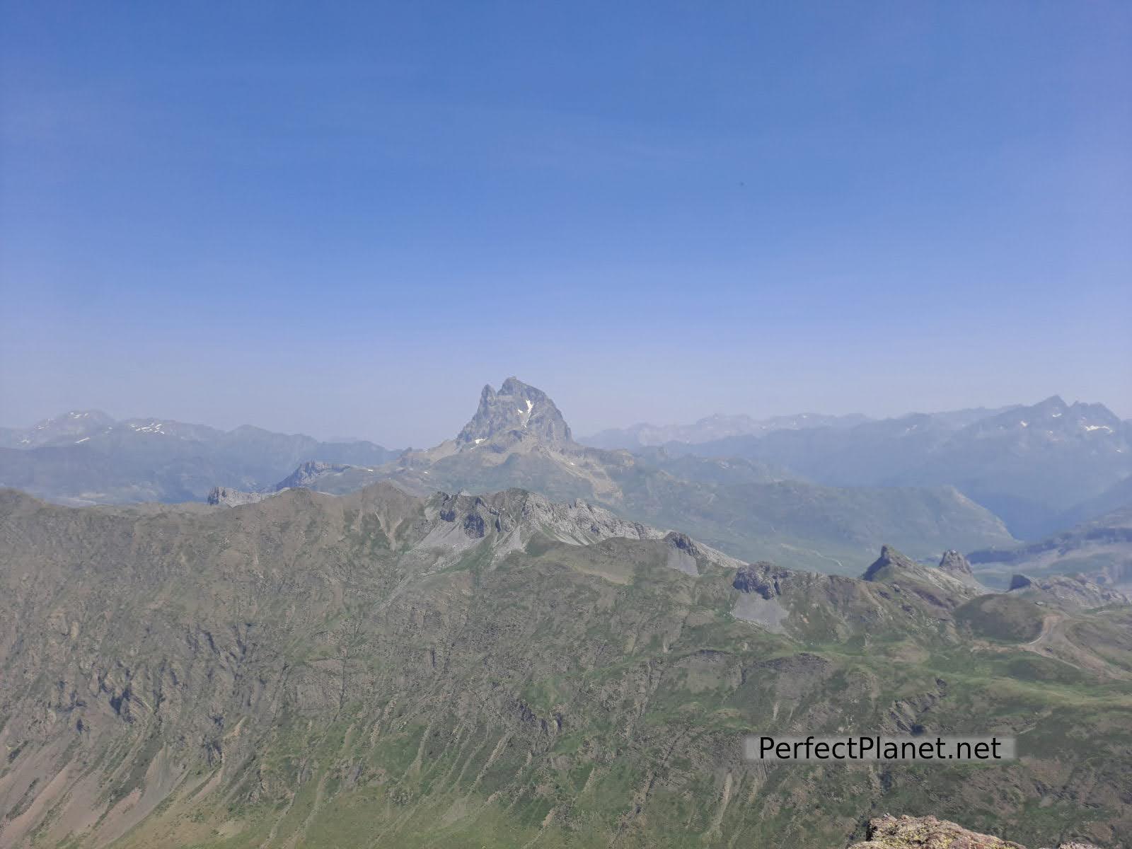
Midi D'Ossau views
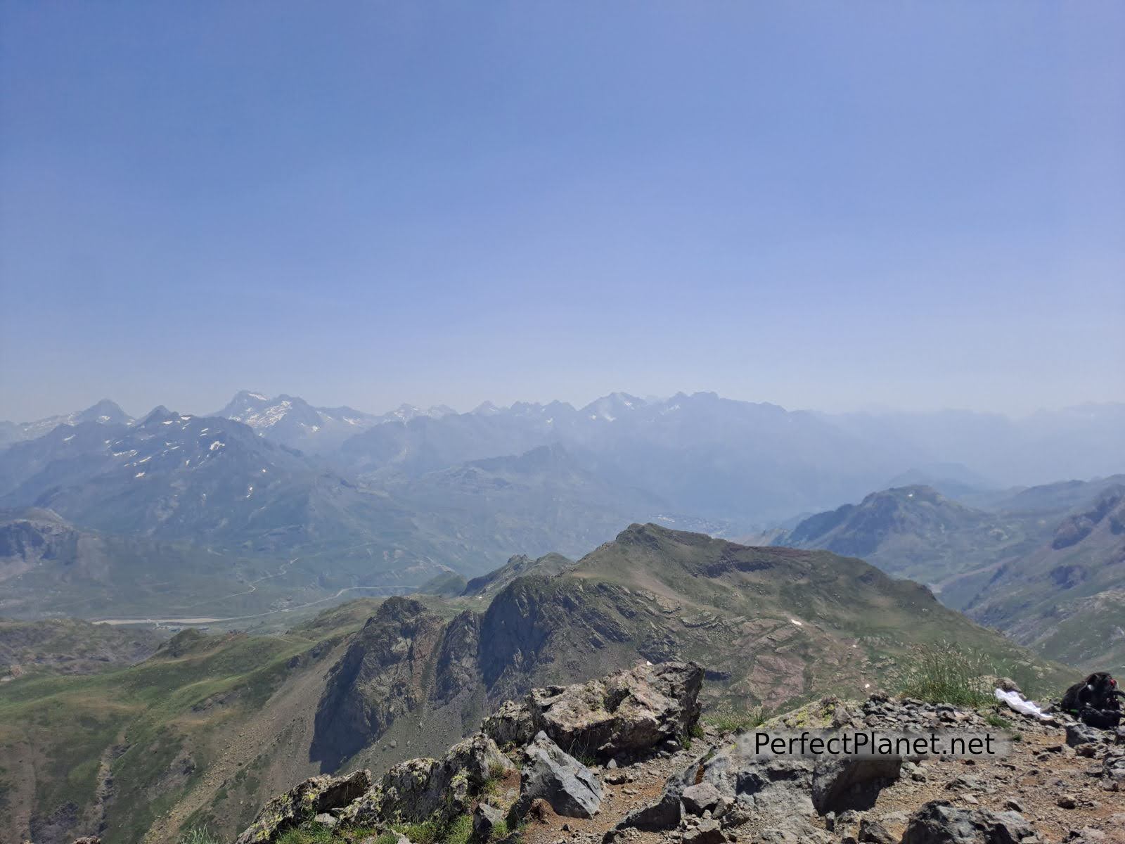
Views
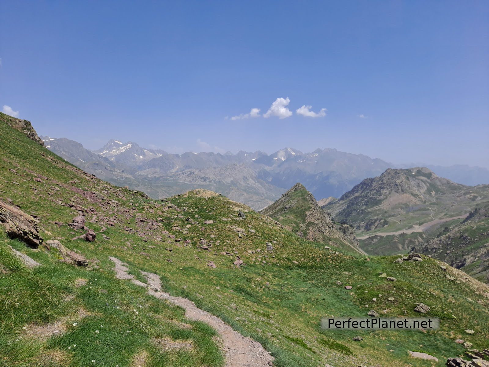
The return is via the same route to the lakes and once in the ravine we take a path that goes off to the left, which is aerial but simple, passing by the Glera Hut and back to the ski slopes and the car park.
Way back
Way back
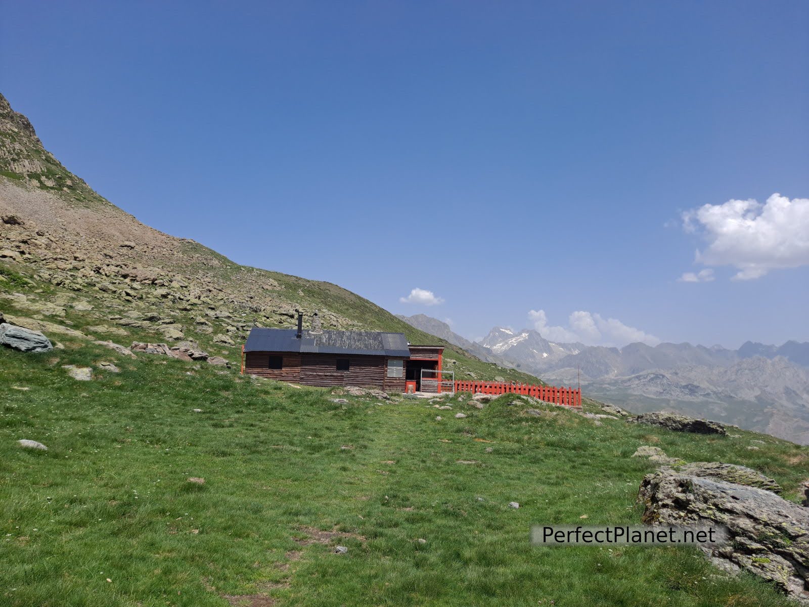
Glera hut
Route: circular
Distance: 16 km
Elevation gain: 900 metres
Difficulty: moderate (if you climb to the peak, otherwise low difficulty)
Signposting: good
We recommend you to follow this wikiloc link.
Whoever makes use and follows all or part of this track and its additional information, assumes full responsibility for the risks inherent in the practice of the activity, this information is for guidance only.
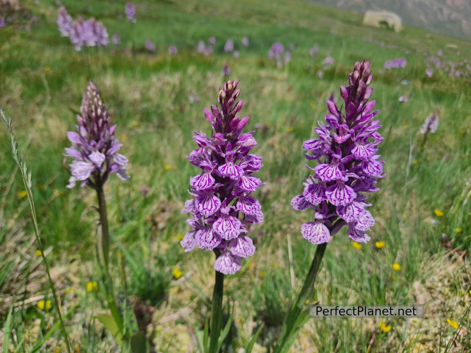
Flowes
- Log in to post comments