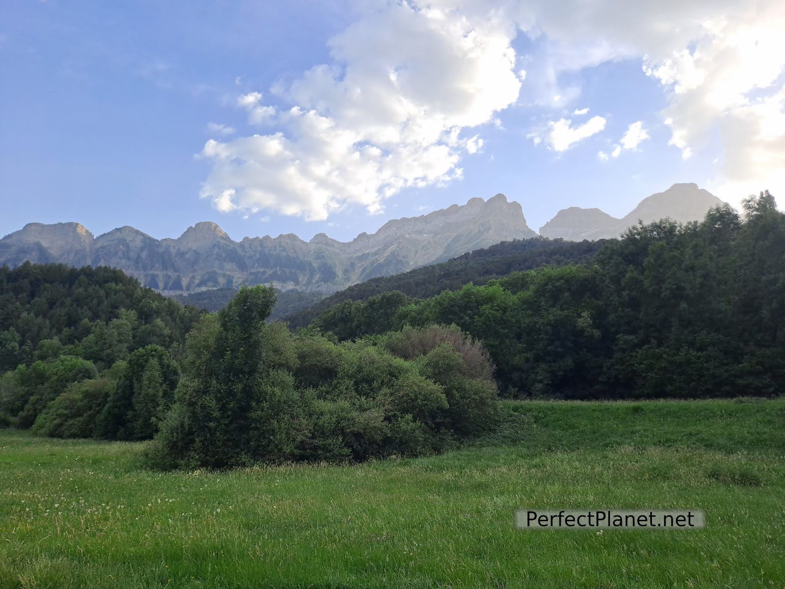
The route starts in the beautiful village of Piedrafita de Jaca, located in the Sierra de Partacua at the foot of Peña Telera peak, surrounded by forests and pastures in Tena Valley.

Arch of Piedrafita
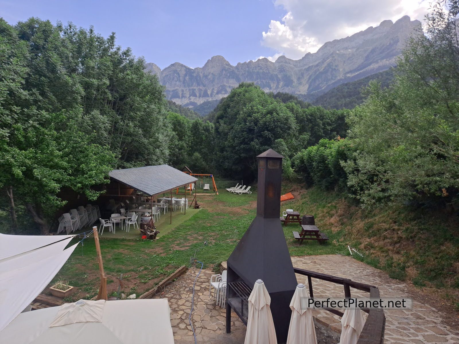
The village is well worth a visit, so don't leave without visiting it and having a drink in the Refugio Telera or in the Albergue, which has a terrace with a brutal view.
Albergue
We recommend that you leave your car in the village car park or in the car park a little further up, as the Lacunicacha car park is reserved for visitors to this wildlife park where you have the chance to see more than fifteen species of animals such as sheep, bears and mouflons in semi-freedom.
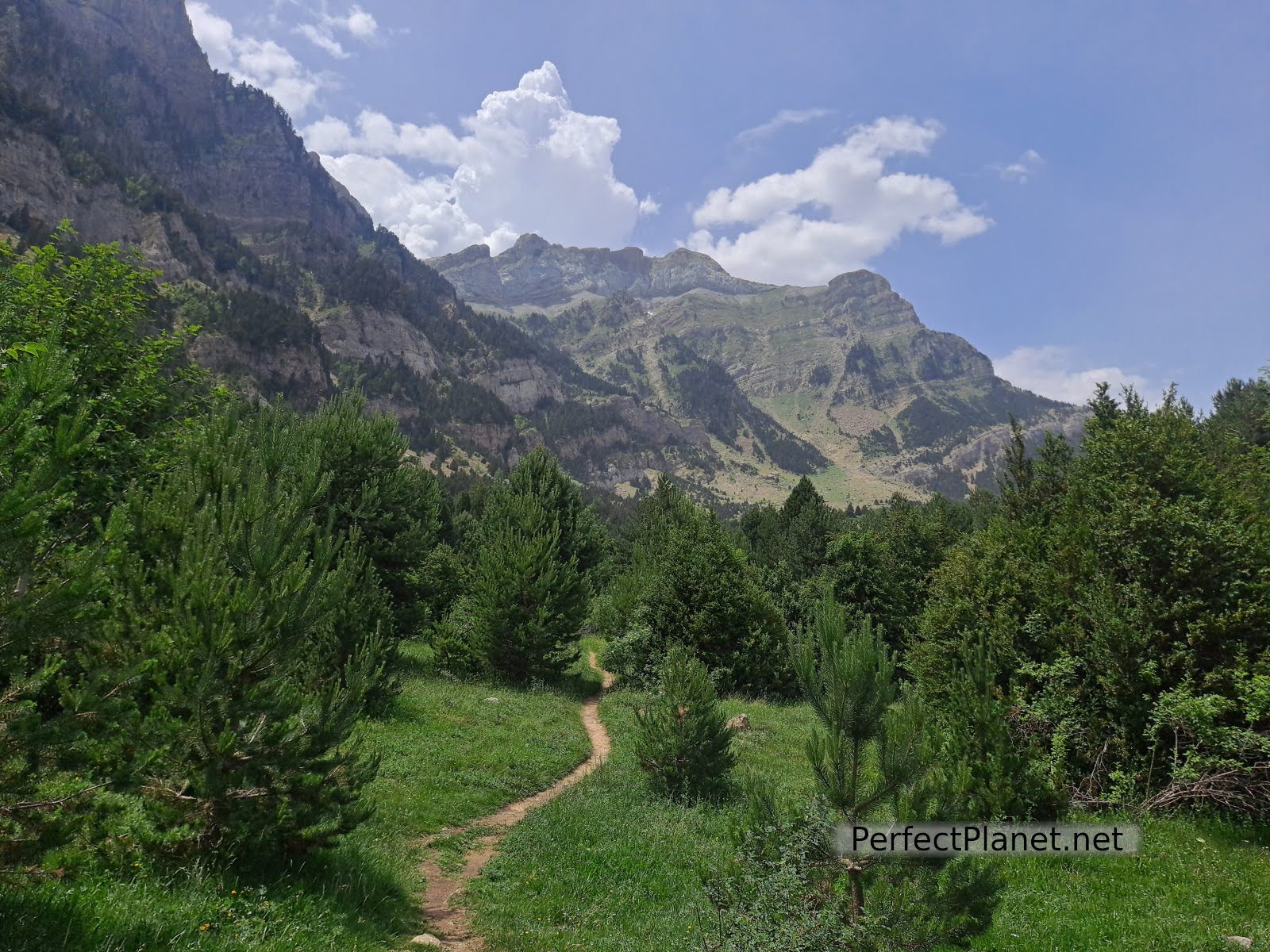
Path
Path
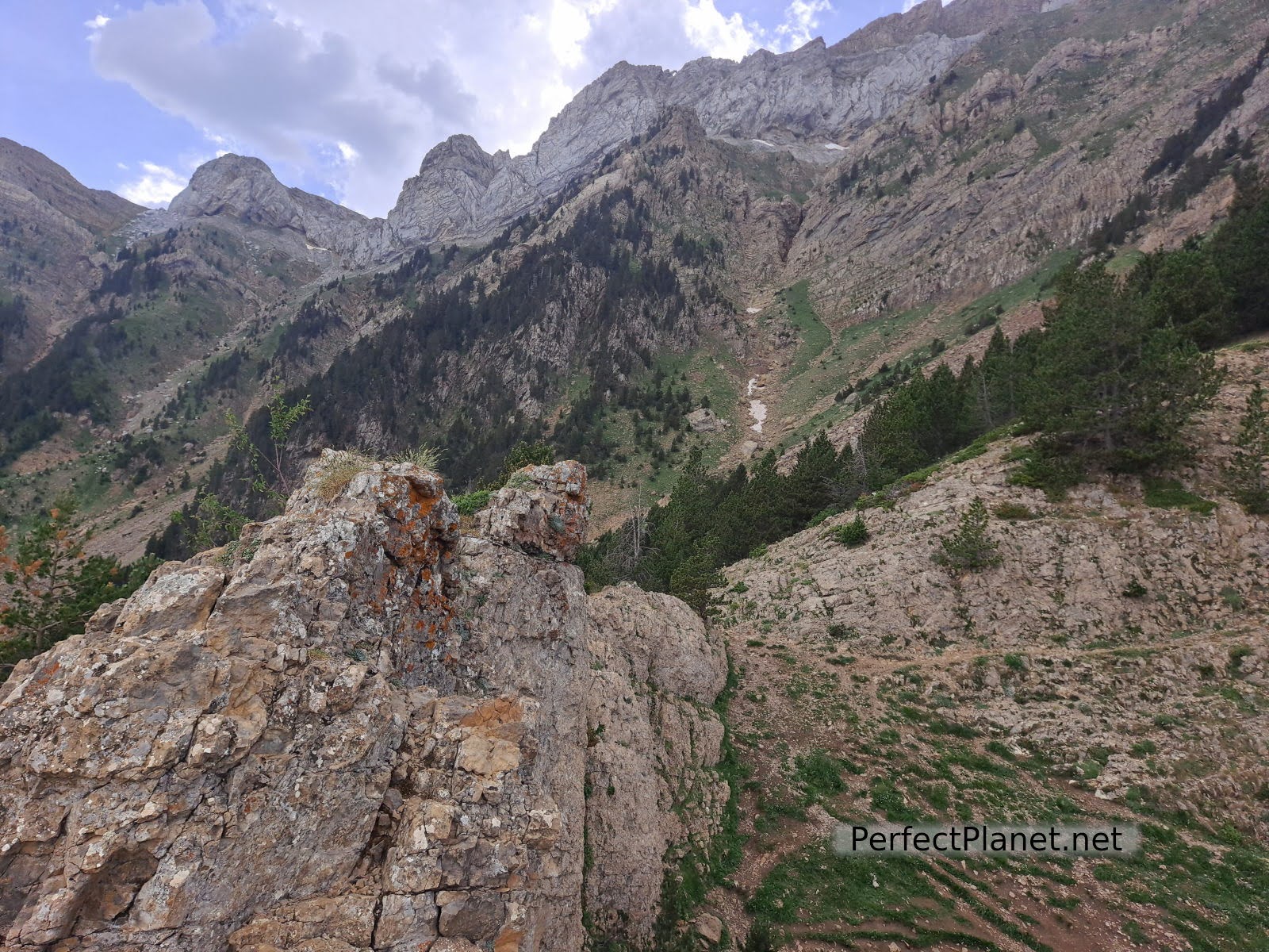
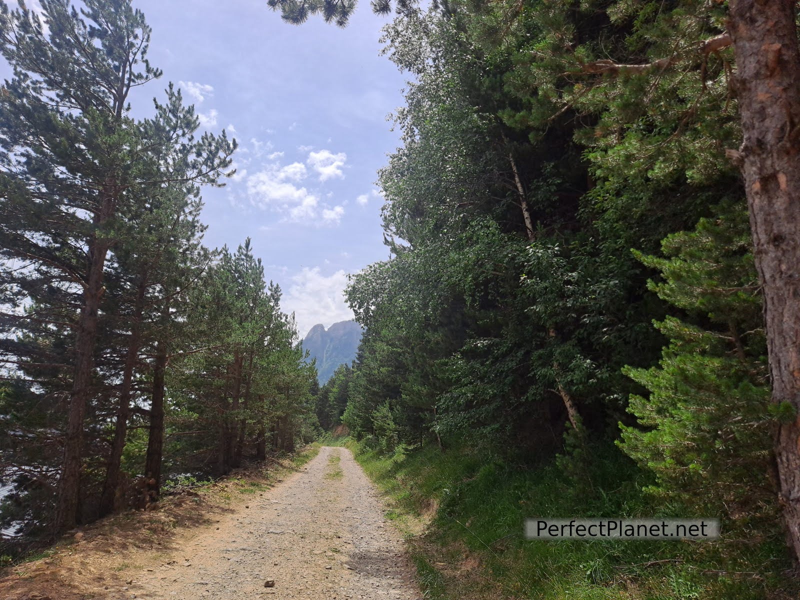
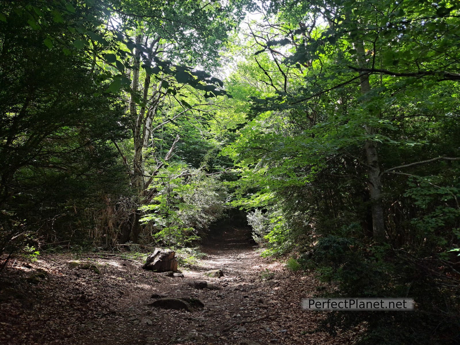
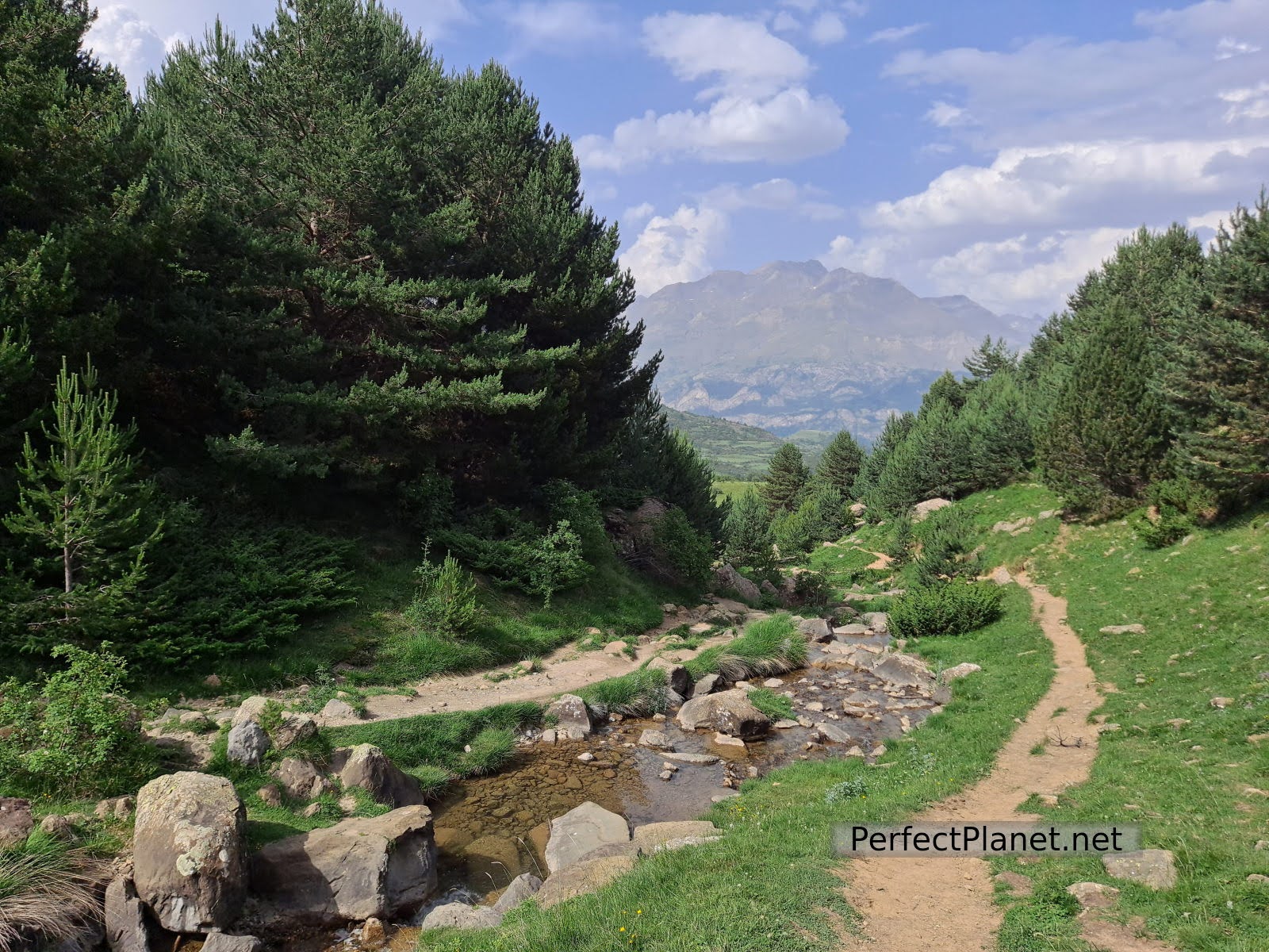
From the car park follow the signs until you reach a farm (a little before Lacuniacha) and take the forest path to the left until you reach a grassy meadow. It is very well signposted.

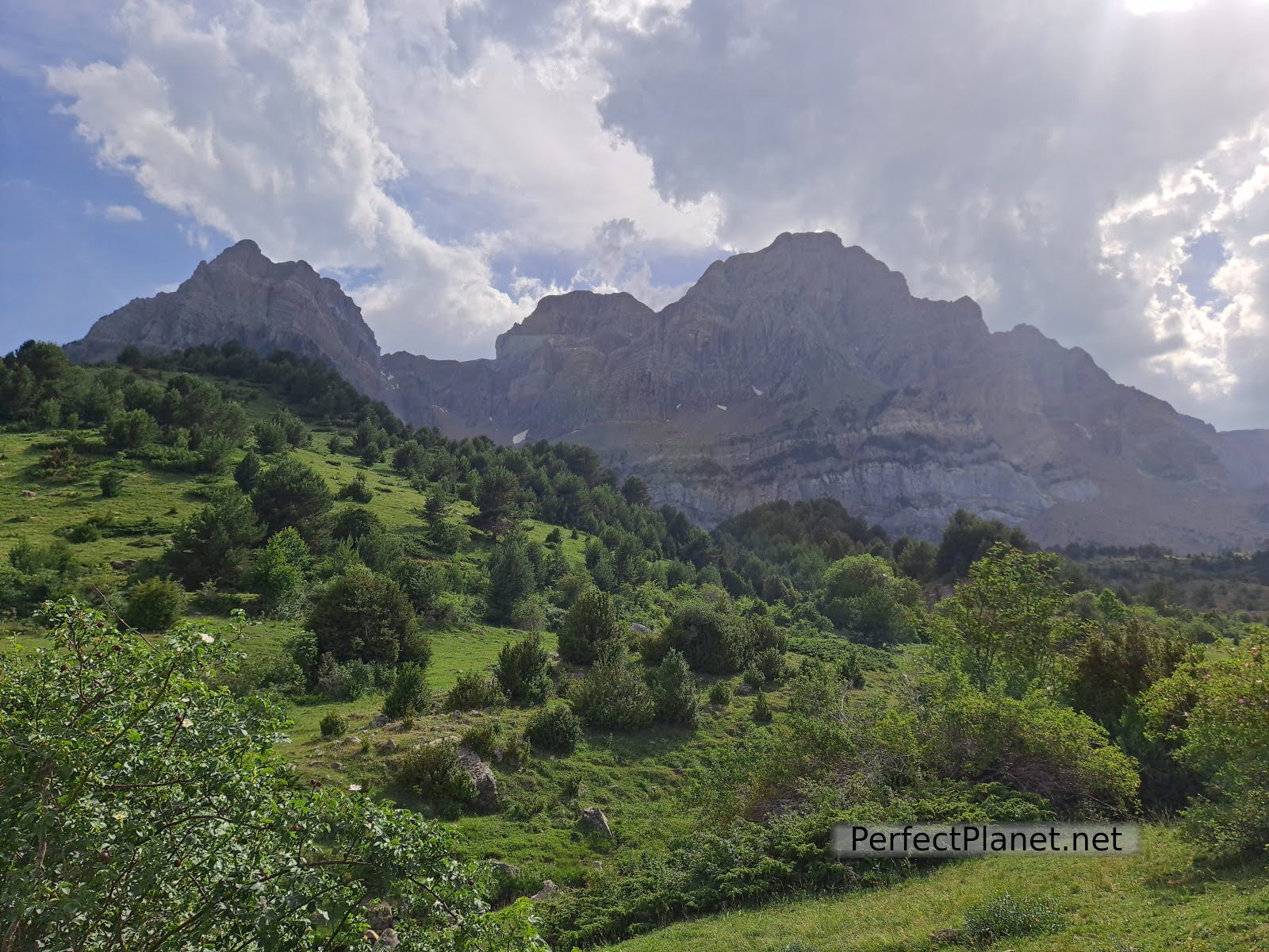
Valley
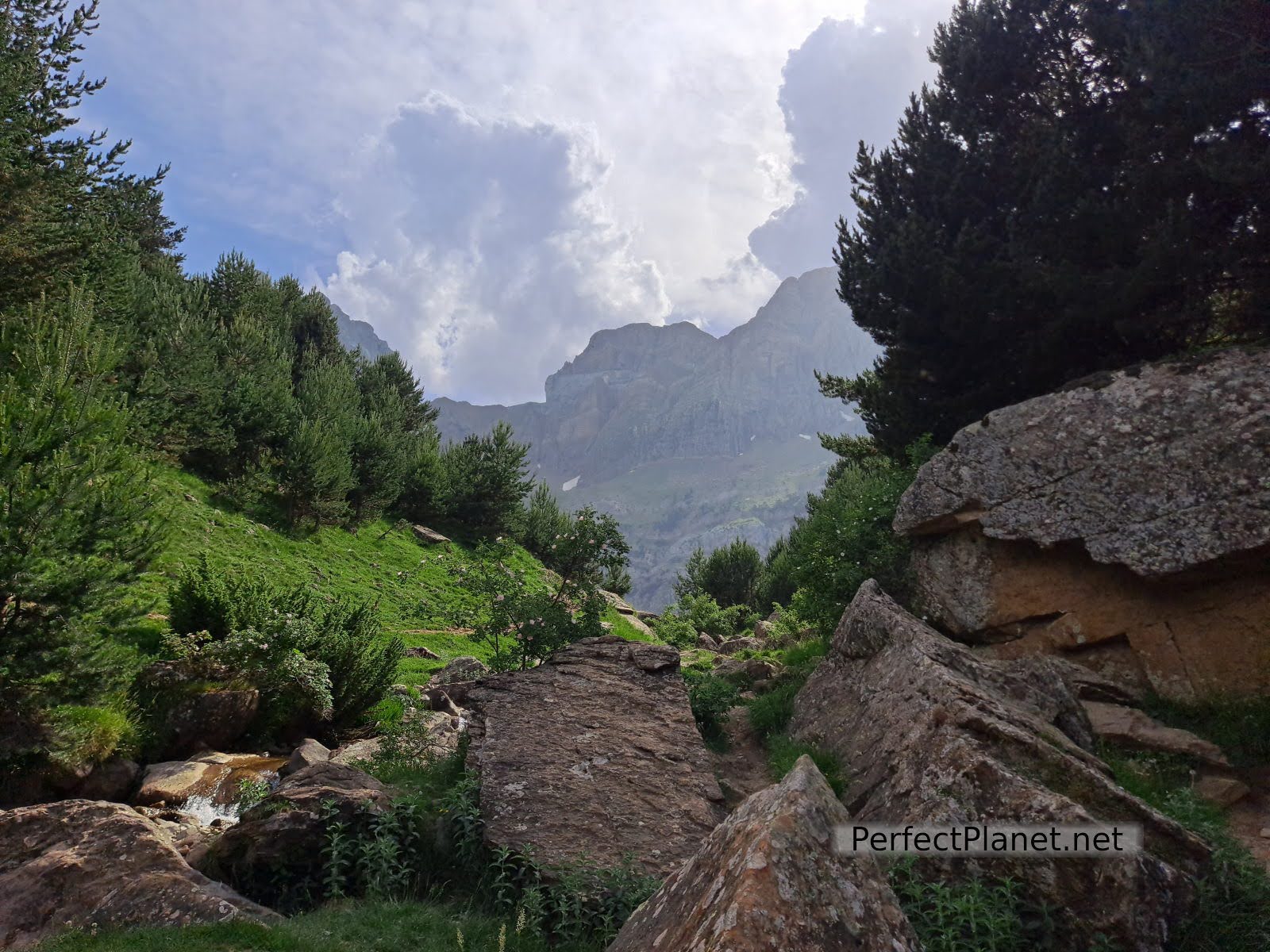
Views
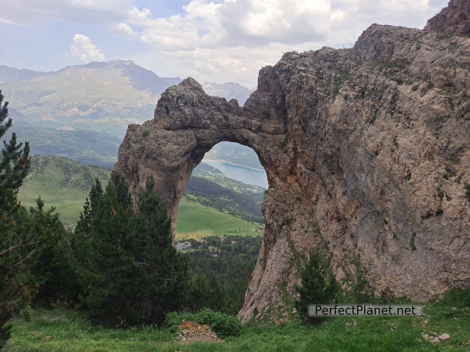
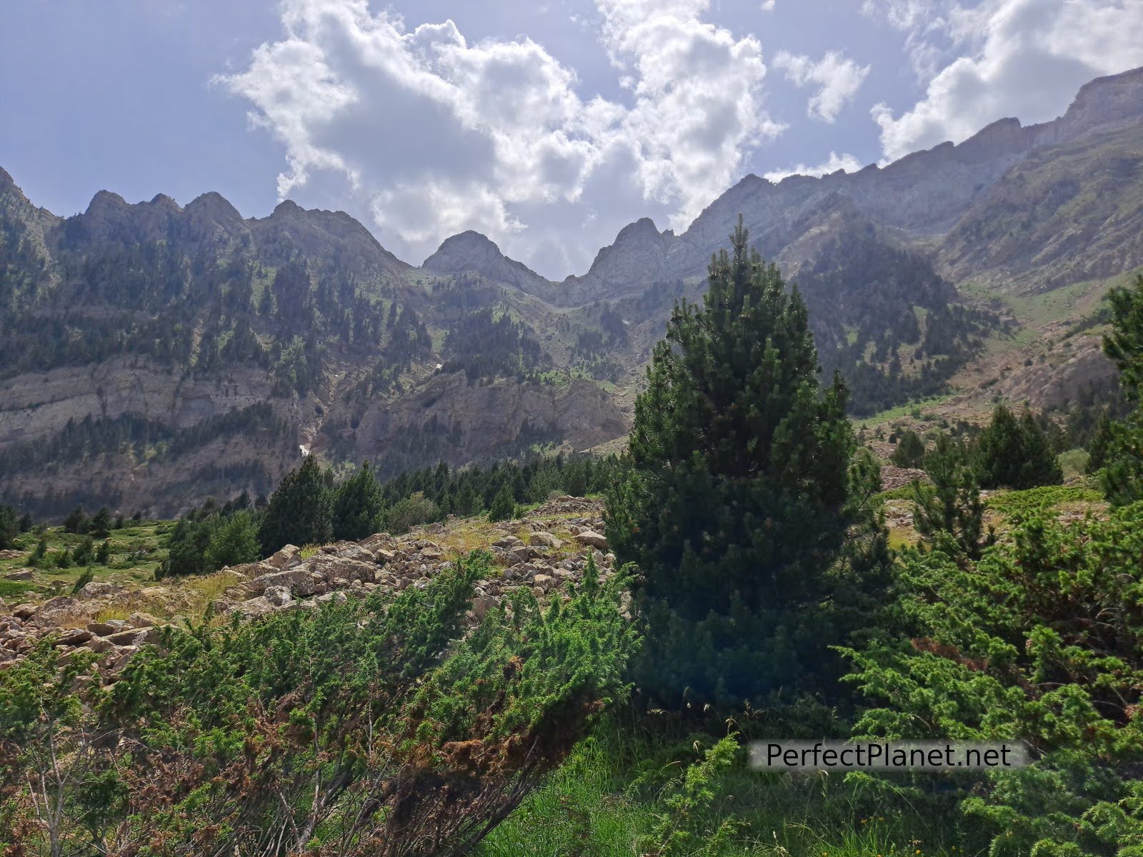
We continue to gain altitude until we reach the crossroads with the sign for the Arco geotectonico (geotectonic arch). In just a kilometre and a half and a little slope we arrive at the Arco de Piedrafita with spectacular views of the Búbal reservoir. You can walk over the arch but with caution.
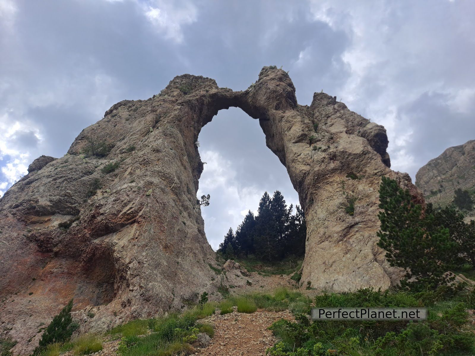
Arch of Piedrafita

Arch of Piedrafita
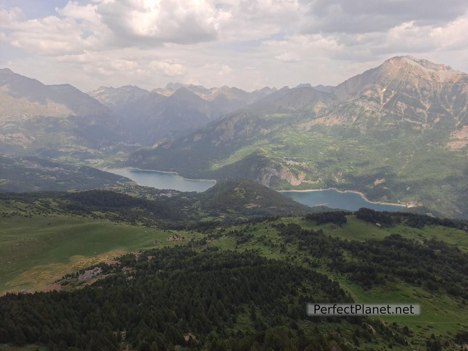
Valle de Tena views
We go down the same path again to the crossroads and continue to the lake at the foot of Peña Telera peak. It is spectacular.
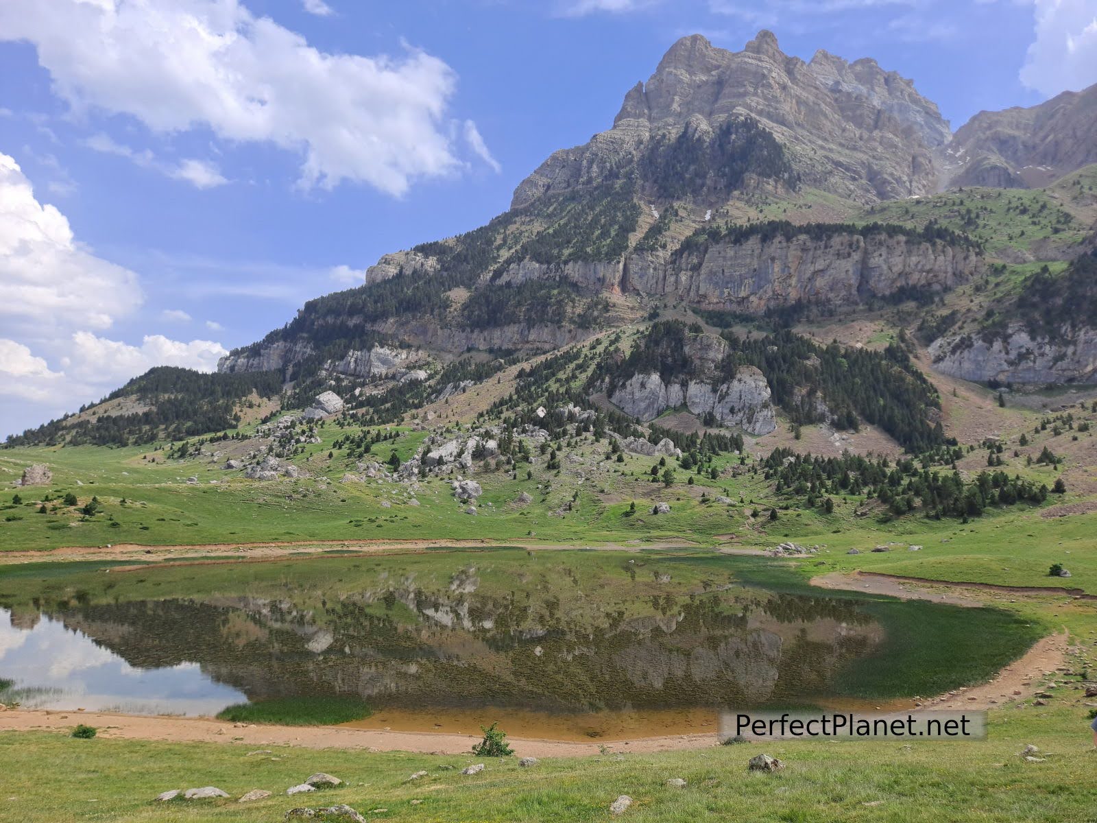
Peña Telera peak and Piedrafita lake
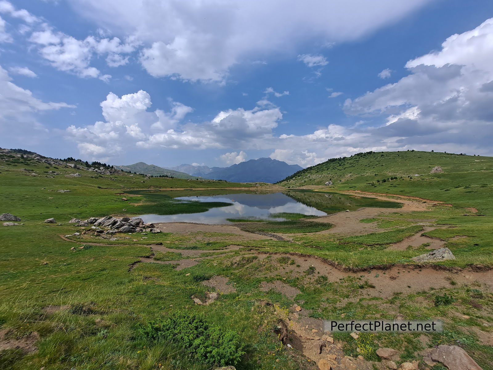
Piedrafita lake
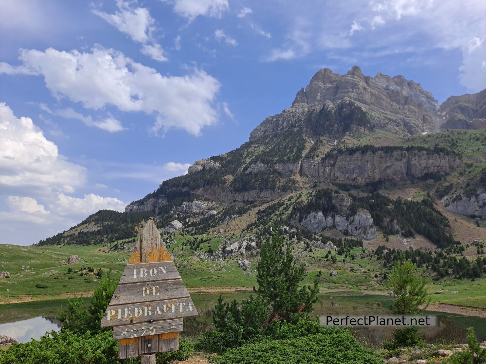
Piedrafita lake
The way back to the village follows the signs of the PR, going parallel to the river.
Way back
There are several options between rural lodgings, the Refugio Telera, the Albergue or if you come with a van or motorhome the car park is perfect with grass and trees. In the village there is a fountain with spectacular water.
Route: circular
Difficulty: low
Distance: 10 km
Elevation gain: 500 metres
Markings: good
We recommend you to follow this wikiloc link. Remember that it is only informative.
Whoever uses and follows all or part of this track and its additional information, assumes full responsibility for the risks inherent in the practice of the activity, this information is for guidance only.
Way back
- Log in to post comments