Departure and return to the Pineta meadow. From the meadow we follow the signs to ibón Marboré.
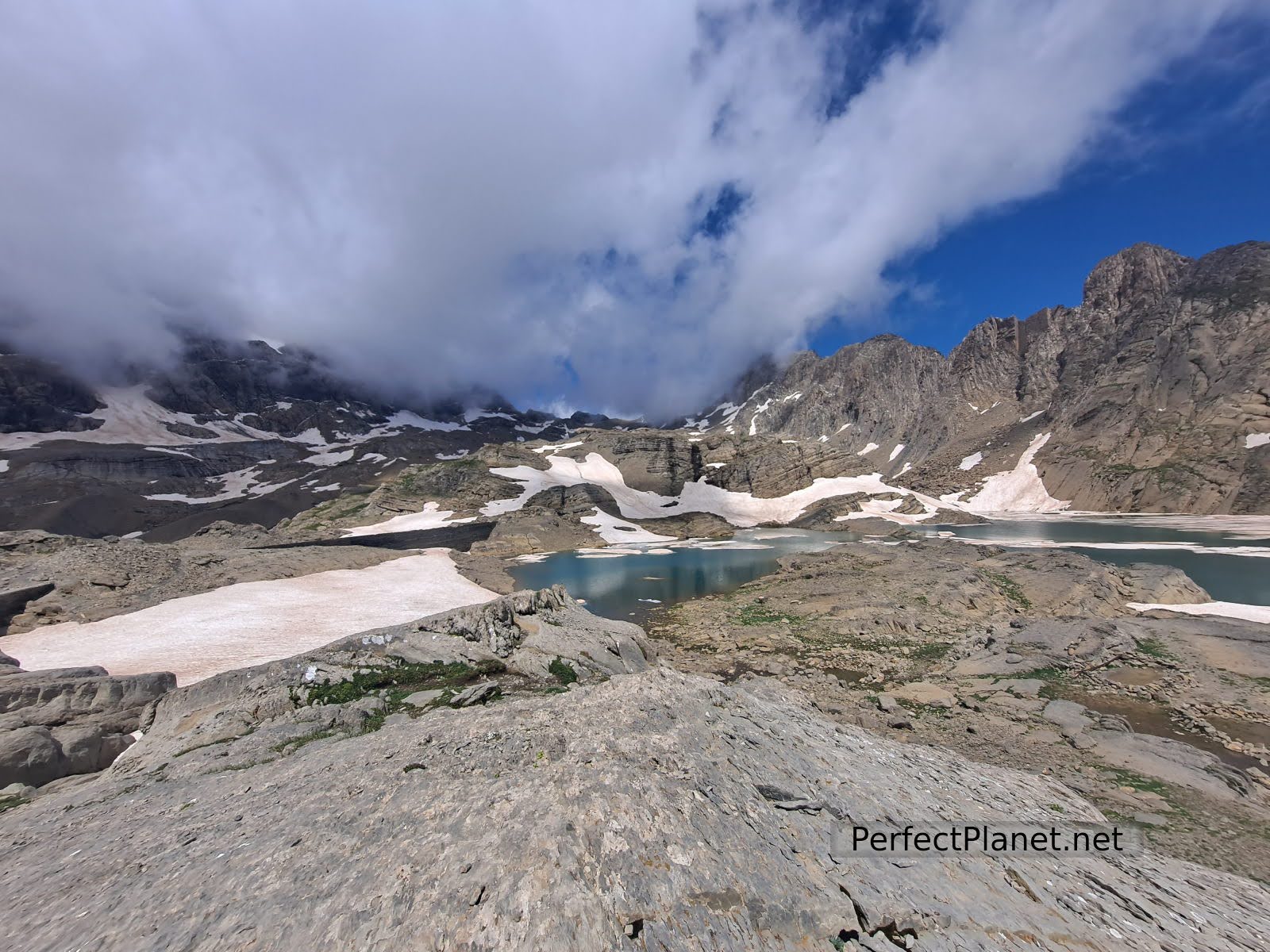
Marboré
After crossing a metal bridge we take the path on the left that runs through a spectacular beech forest. After barely two kilometres we reach a crossroads that indicates the way to the Tormosa or Marboré lake, in our case we follow the second option because the first one is closed due to landslides and it is not indicated at what height.
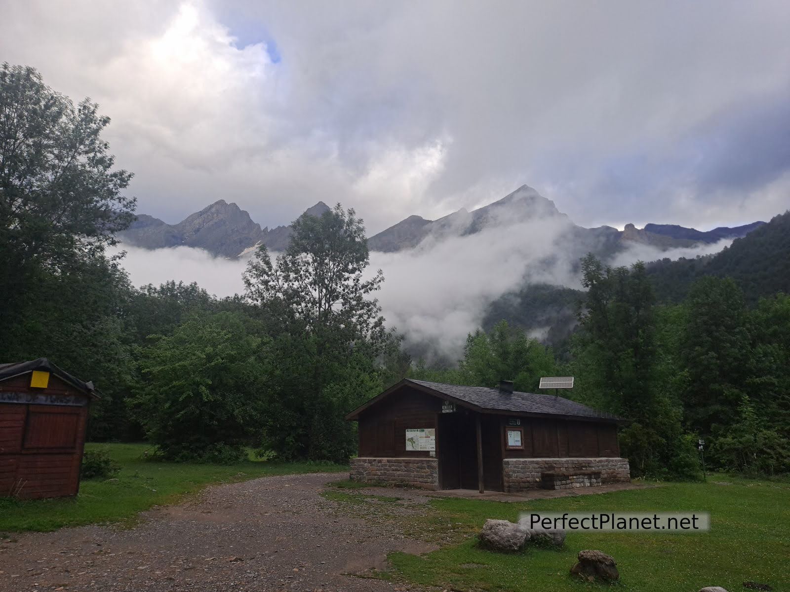
Meadow of Pineta
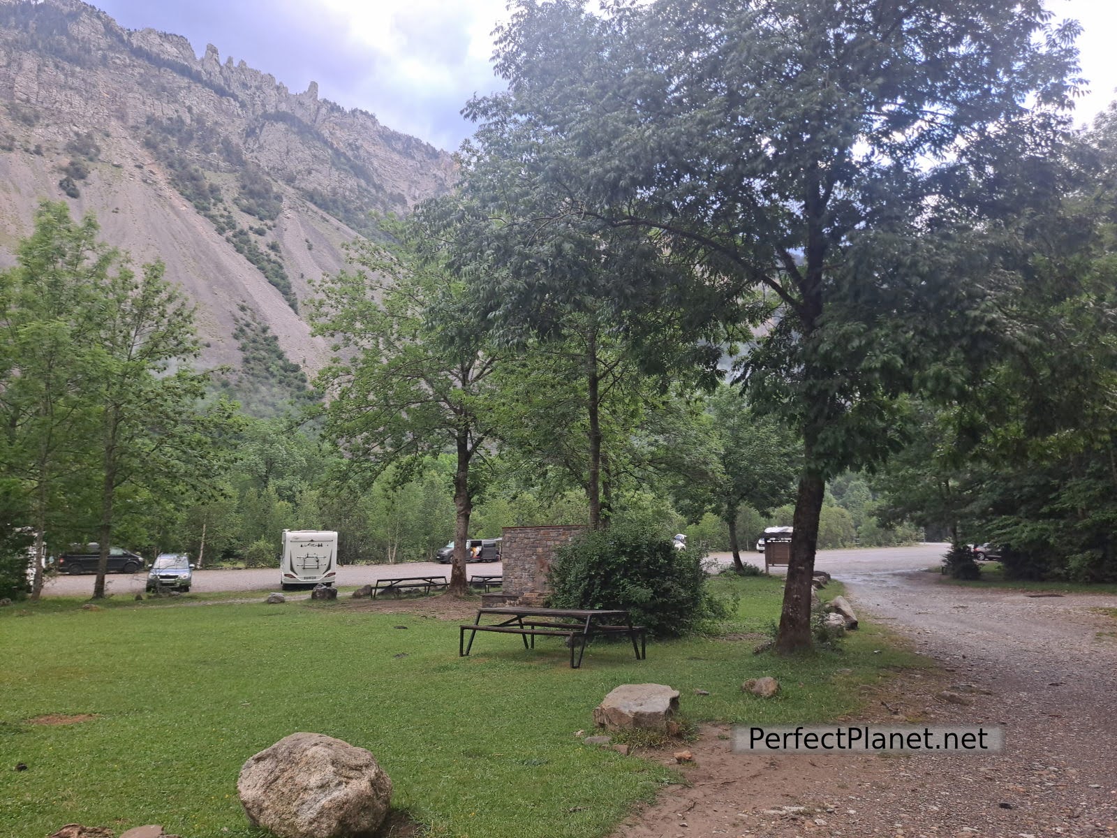
Meadow of Pineta
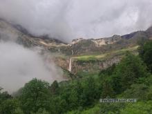
We continue ascending until we reach an area of ferns where the forest opens up and suddenly the mist disappears and the spectacular Cinca waterfall appears before us with the Pineta cirque in the background, leaving us speechless. A marvellous sight.
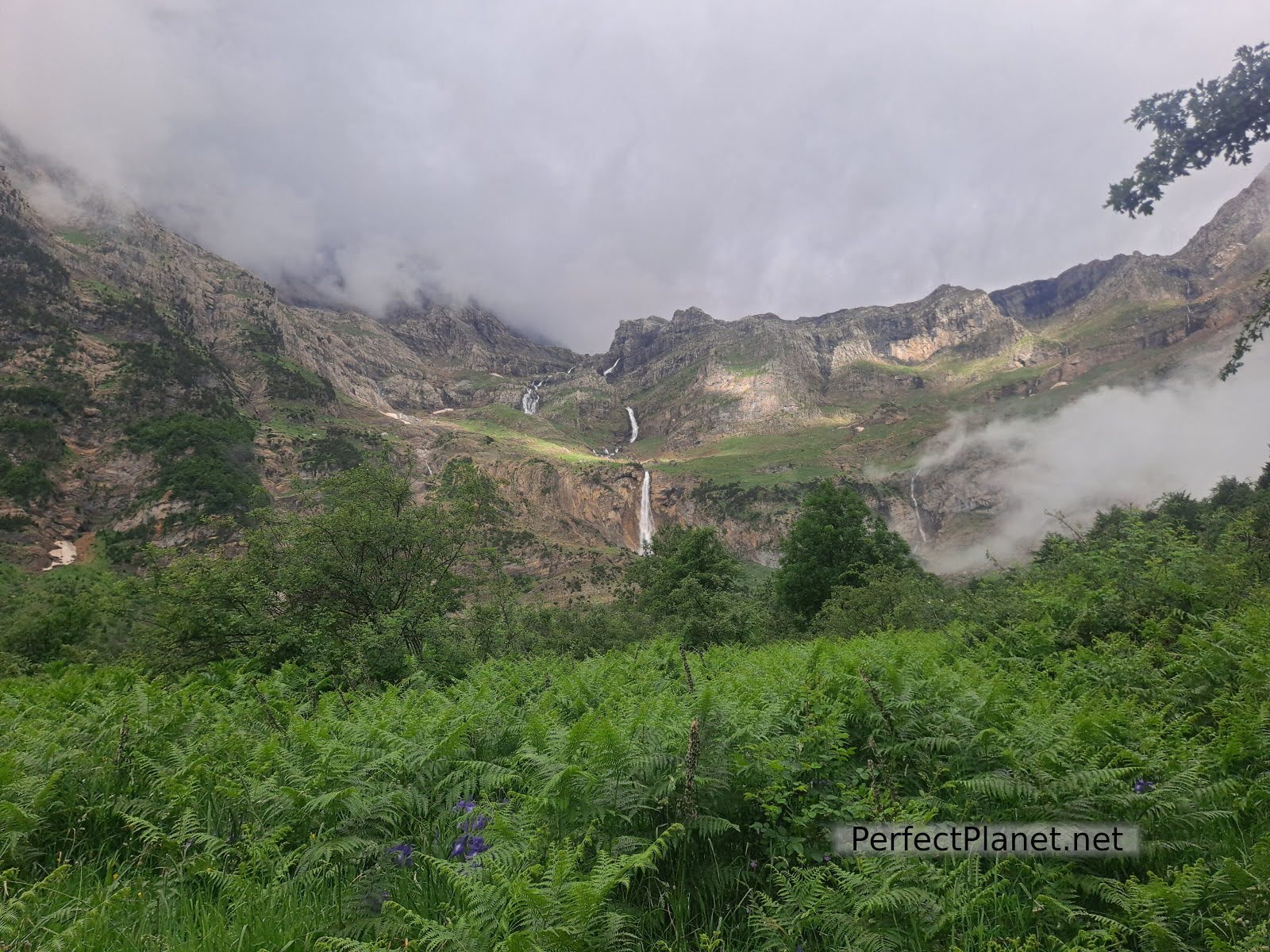
Cinca waterfall
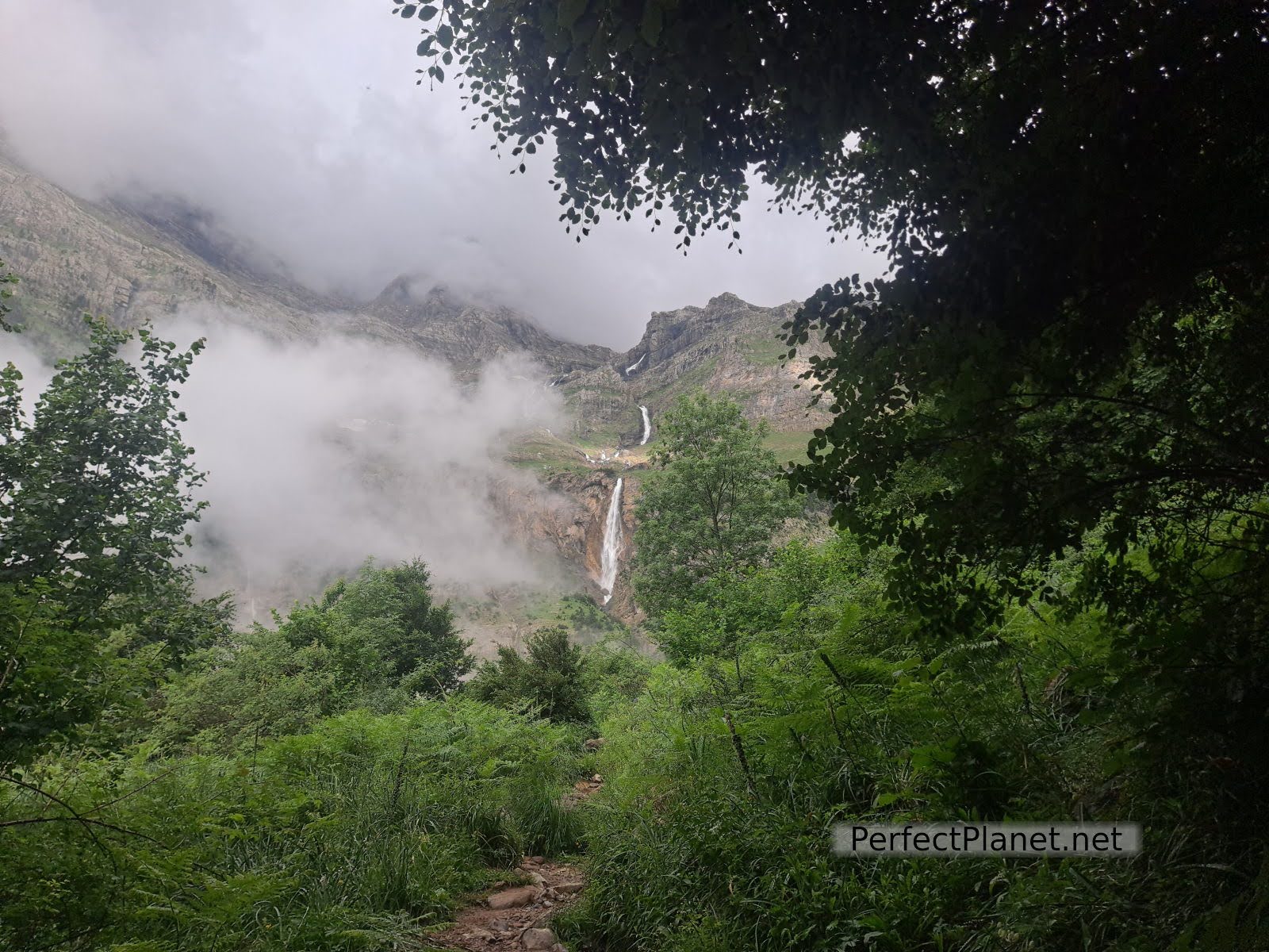
Cinca waterfall
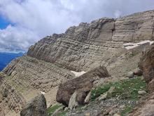
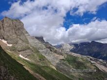
From here the path is marked by milestones. We climb gradually until we cross the first cliff. The views are spectacular.
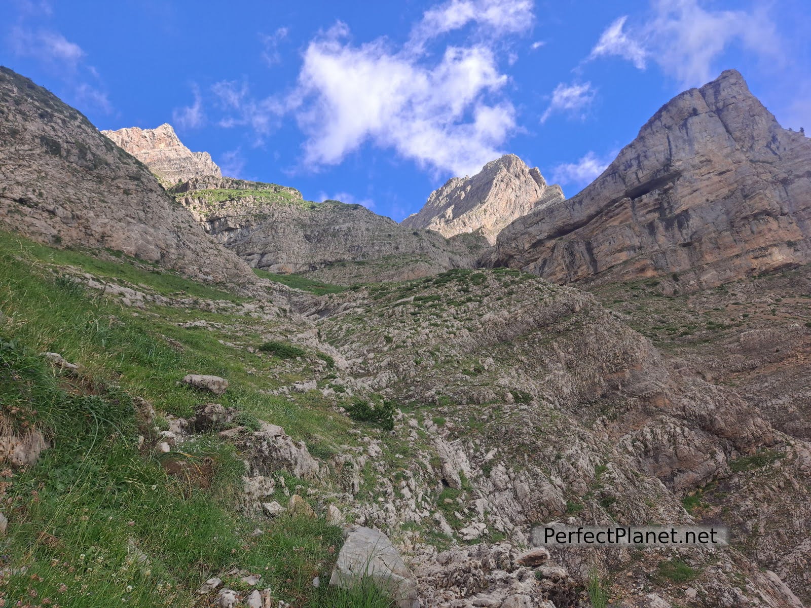
Zigzags
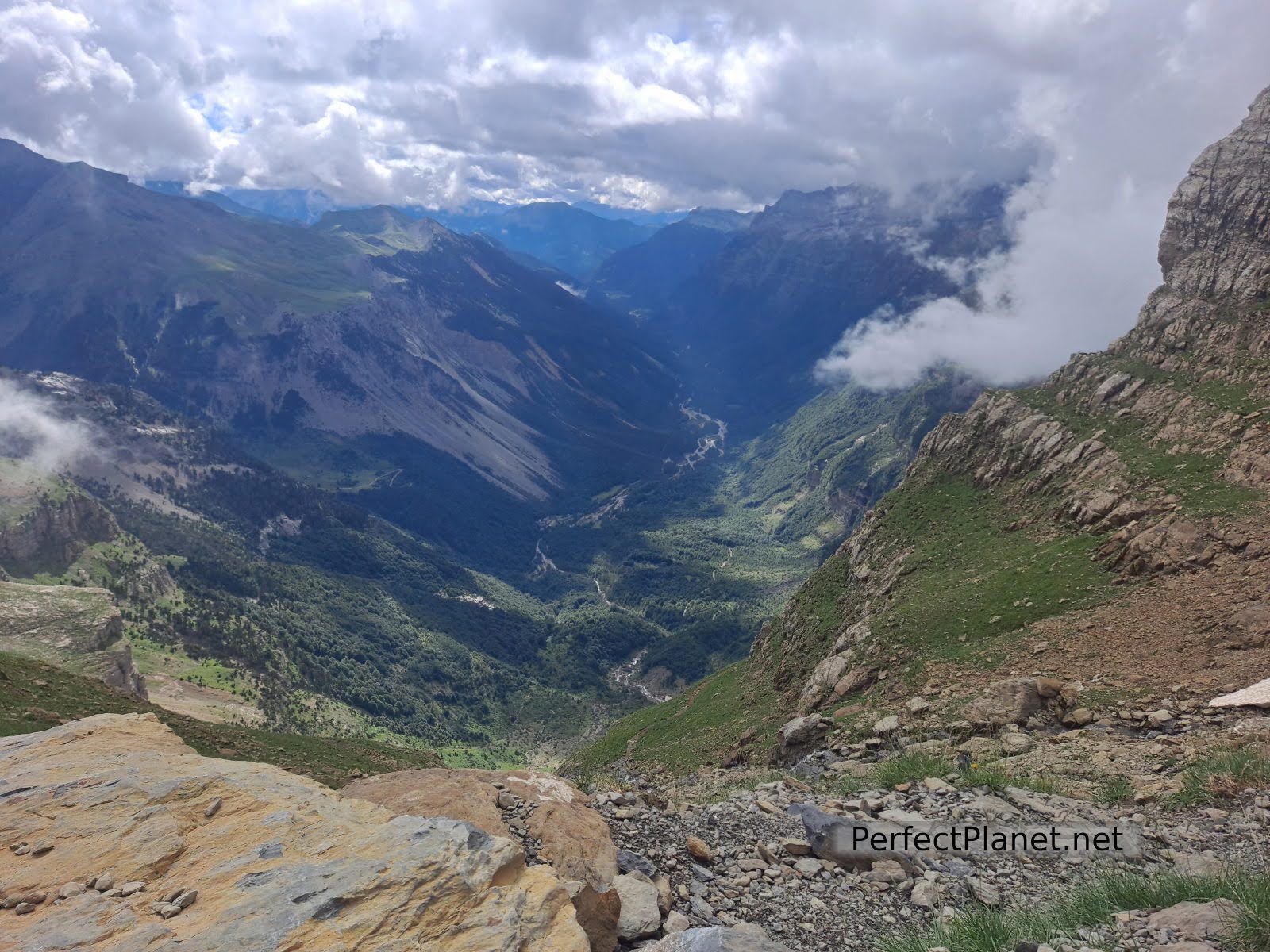
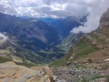
Pineta Valley
The path continues zigzagging and crossing several waterfalls. We arrive at some smaller and steeper zigzags. At this point, if the sun is intense, it gets very hot, take plenty of water and sun protection.
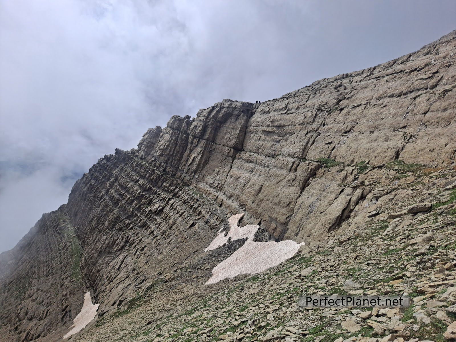
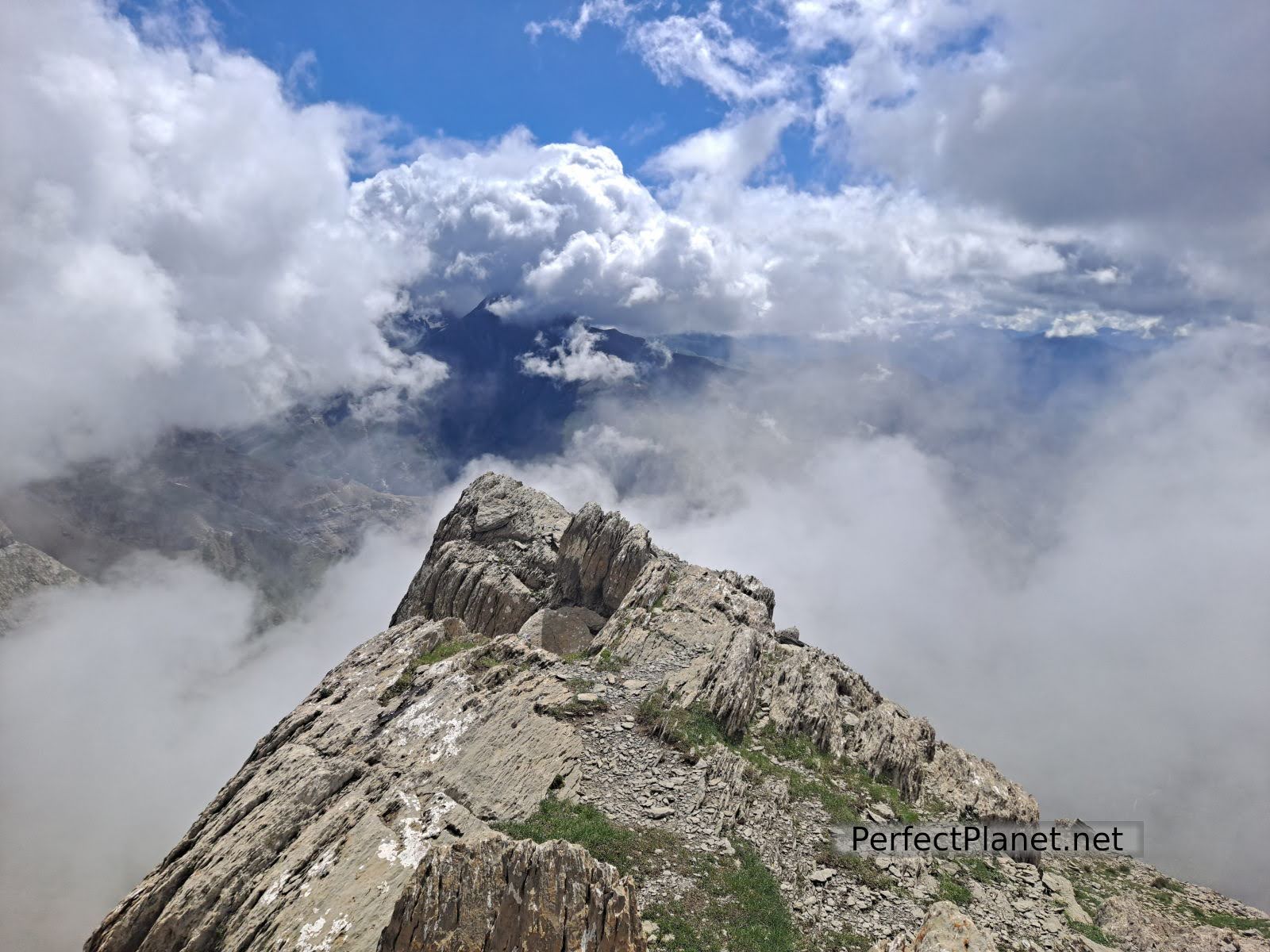
Pineta Balcony
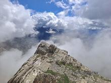
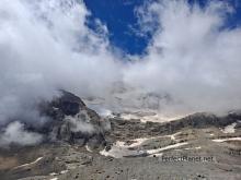
A few more metres and we reach the Pineta Balcony. The views are impressive not only of the valley but also of what follows, the landscape formed by Monte Perdido, Cilindro, Marboré, Astazus and Tuca Roya at the foot of the ibón de Marboré. In spite of the fact that it is a rather cloudy day, it is amazing.
Pineta Balcony
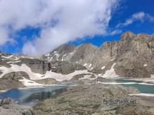
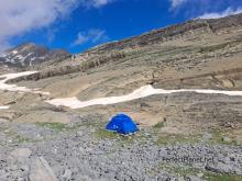
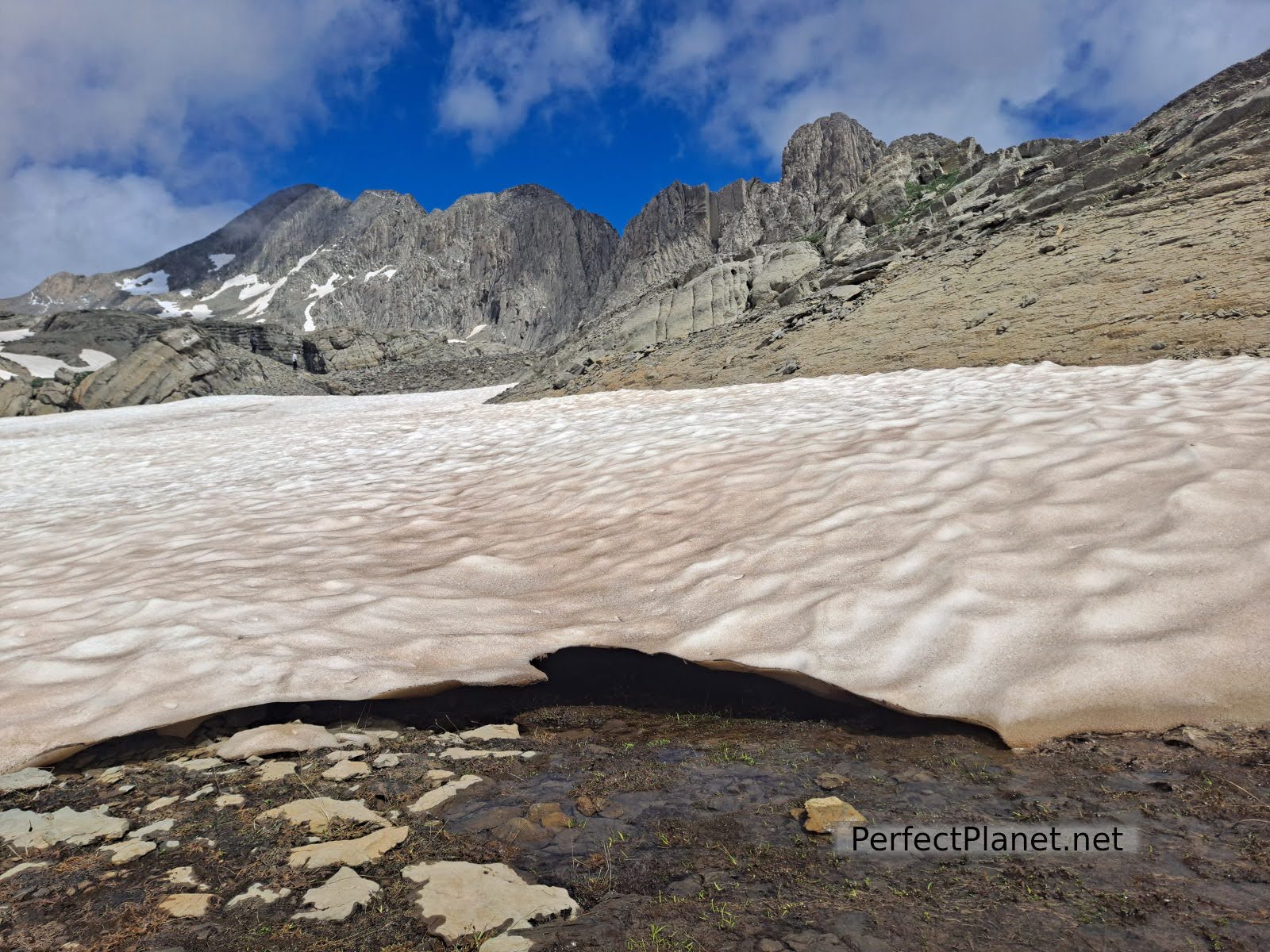
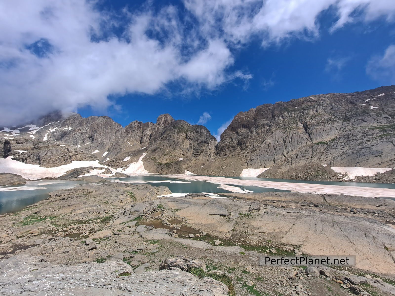
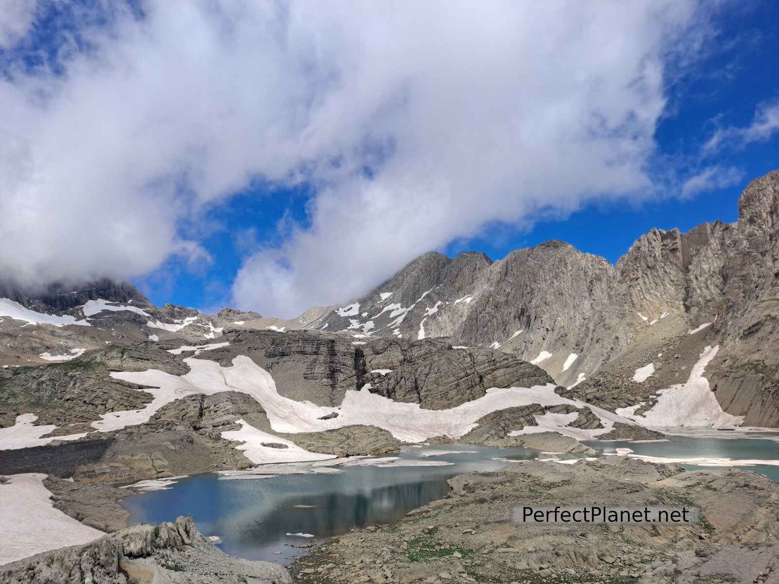
We continue and in barely a kilometre we reach the Marboré lake. Hidden at the foot of Tuca Roya is the Tucarroya refuge, the highest and oldest in the Pyrenees. It is not guarded and has space for 12 people. Access most of the year has to be done with equipment.
Way to Marboré
Marboré lake and Tuca Roya
Marboré lake and Astazus
We are lucky that from time to time the clouds allow us to contemplate the Monte Perdido glacier in clear retreat, 20 years ago it reached the Pineta balcony.
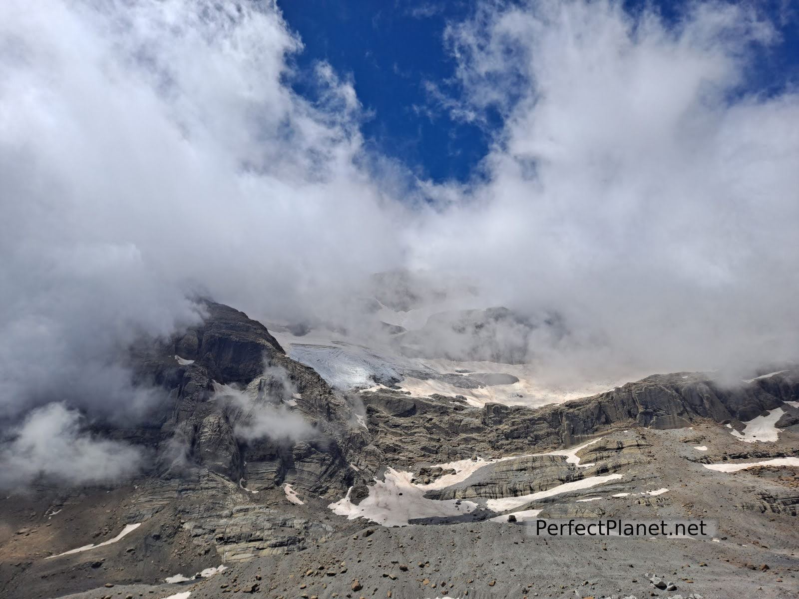
Monte Perdido Glacier
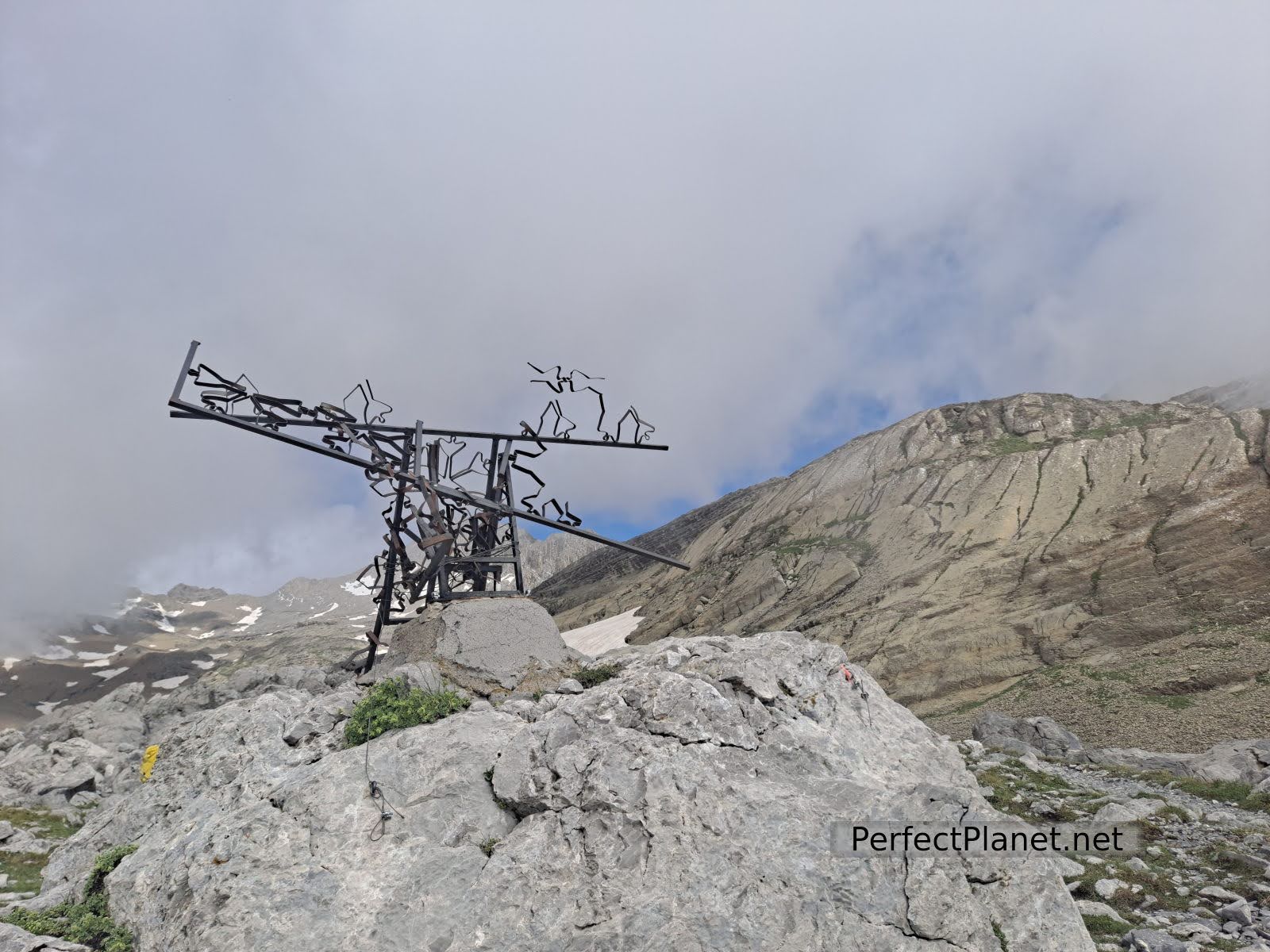
Pineta
From the ibón to the Astazus there is a further 500 metres of altitude difference.
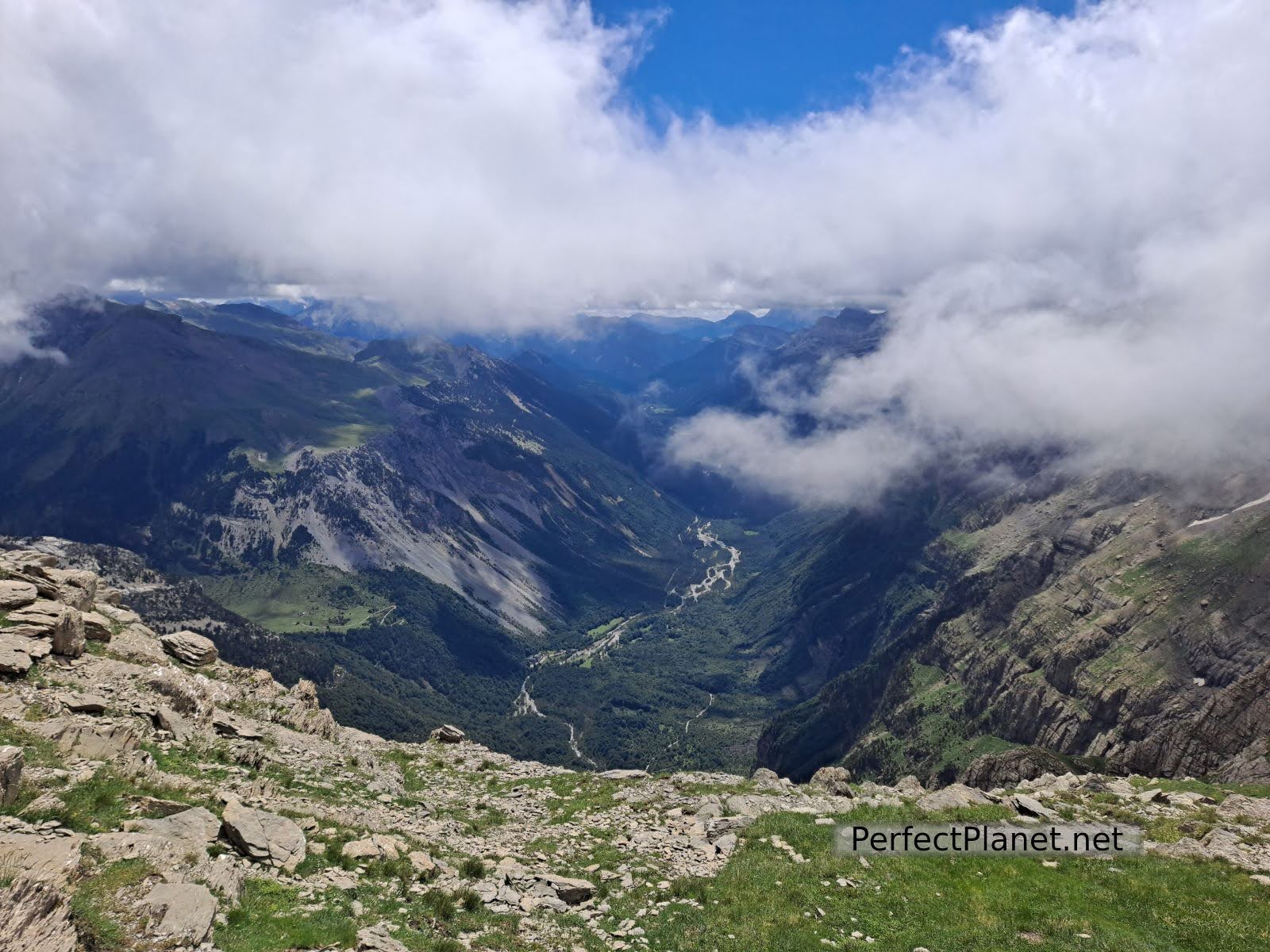
Pineta
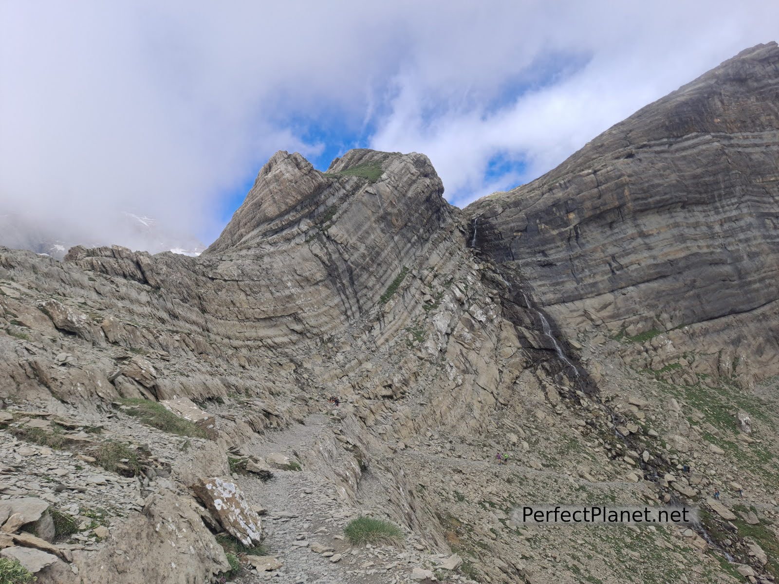
Pineta
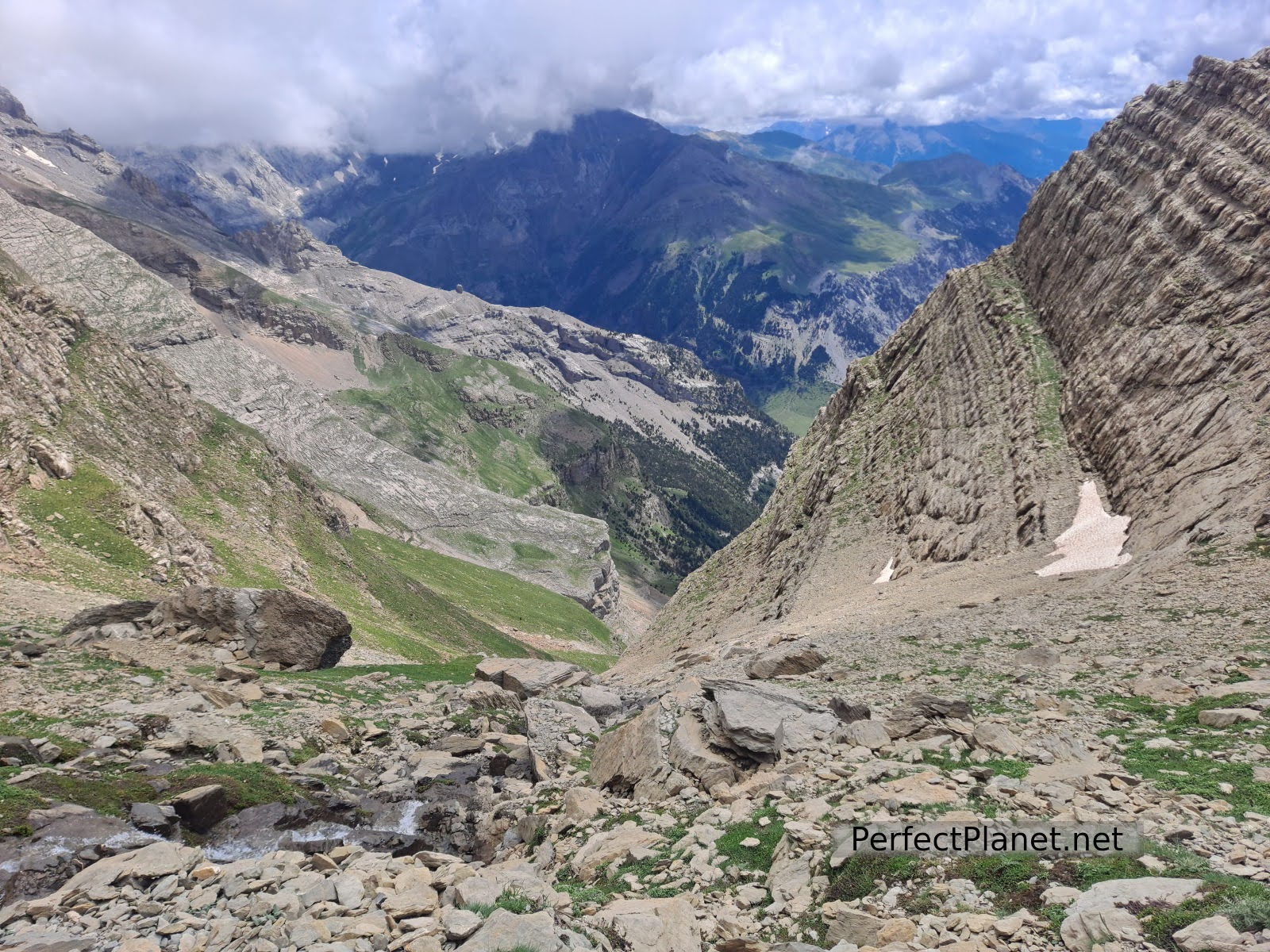
Way back
The return by the same route to the meadow.
We leave you this wikiloc link so you can have a look at it.
Route: linear, well signposted
Distance: 16 kms
Technical gradient: 1,300 metres
Difficulty: moderate due to the gradient
Whoever makes full or partial use of this track and its additional information, assumes full responsibility for the risks inherent in the practice of the activity, this information is for guidance purposes only.
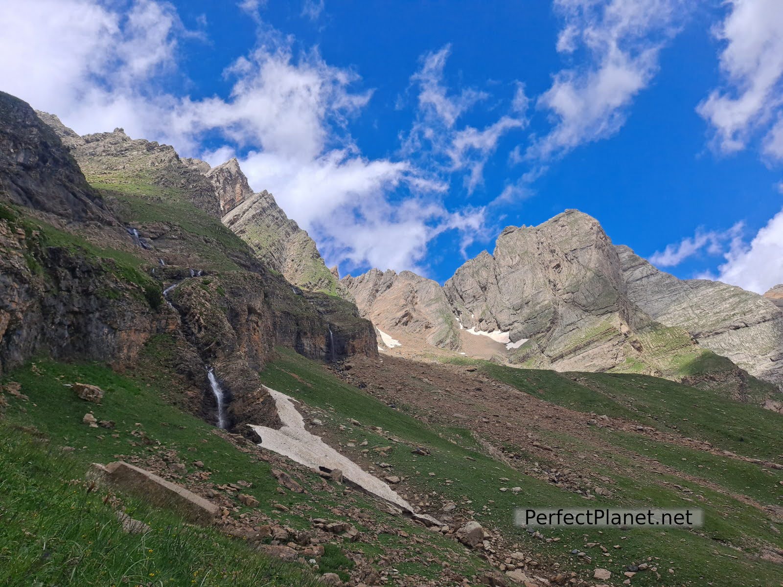
Way back
- Log in to post comments

