One of the peaks with the best views of the whole Selva de Oza is Chipeta Alto (2,189 metres).
Chipeta Alto
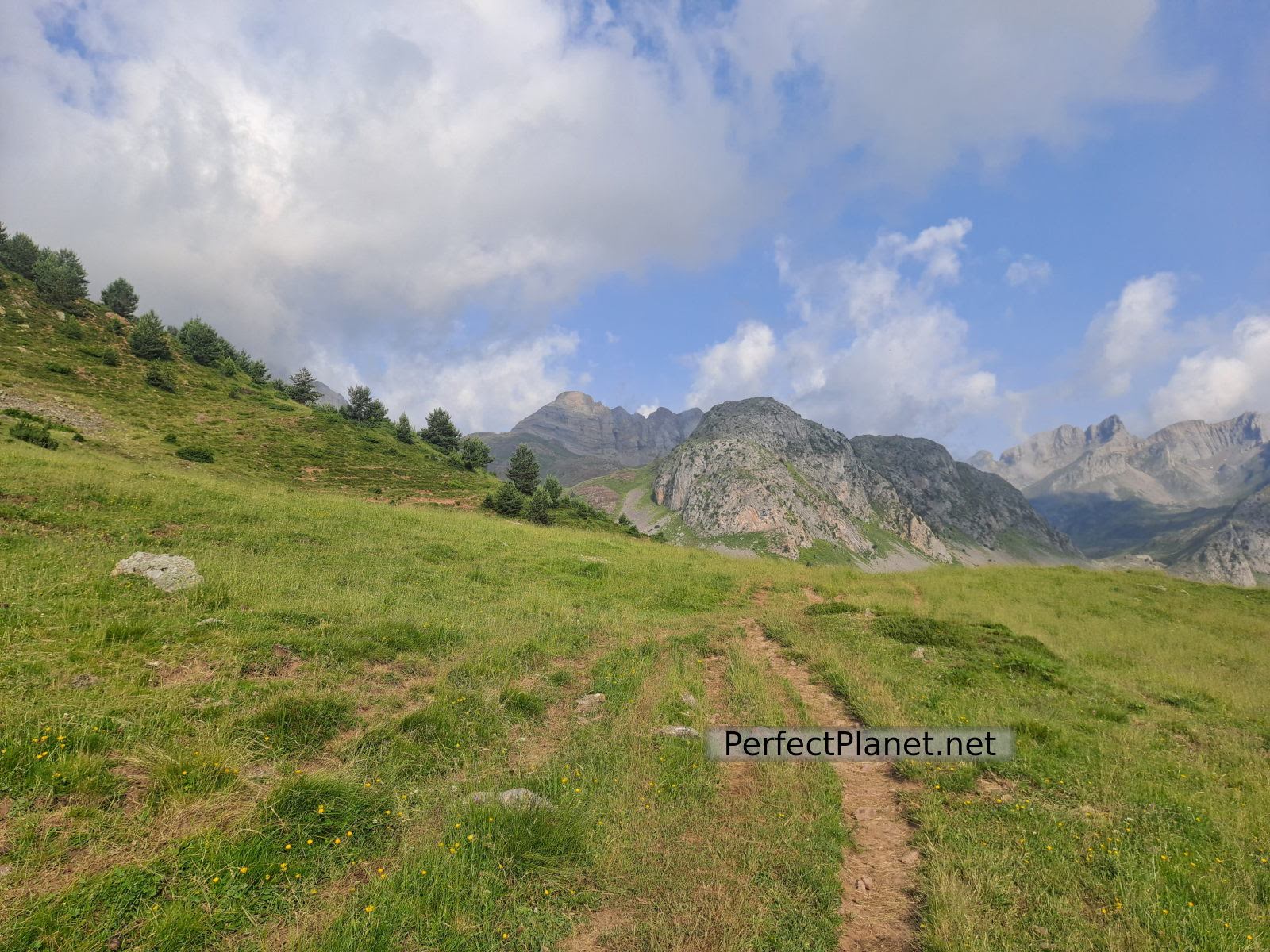
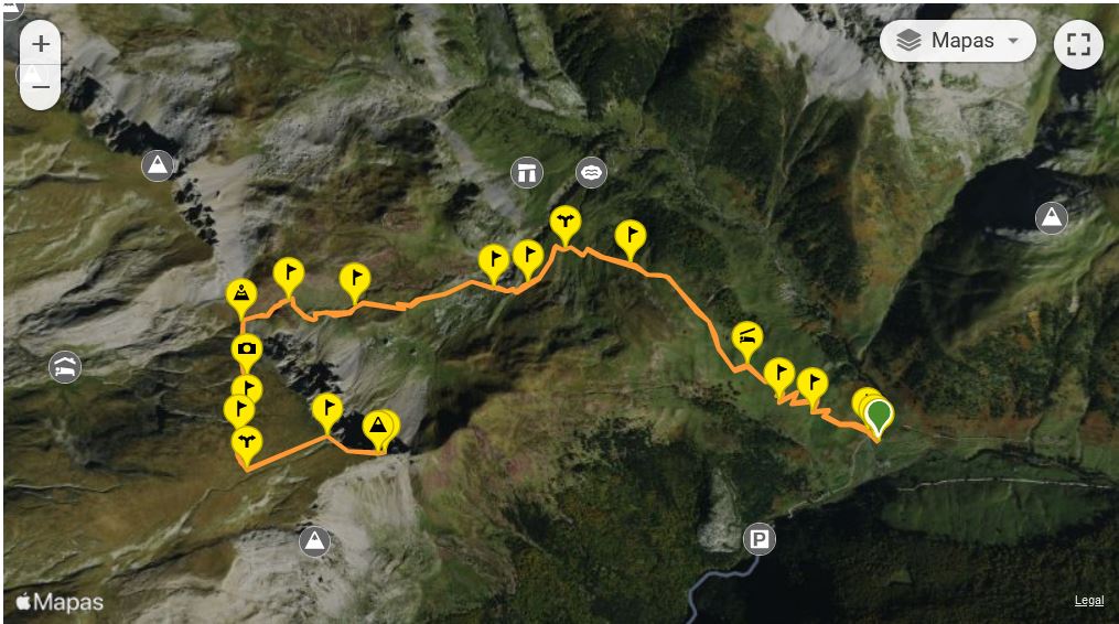
The ascent is easy. We start our route at the La Mina car park, located about 3 kilometres from the Selva de Oza campsite, in the Hecho valley. Although it looks like a huge rocky mass, it can be accessed through a grassy area without difficulty.
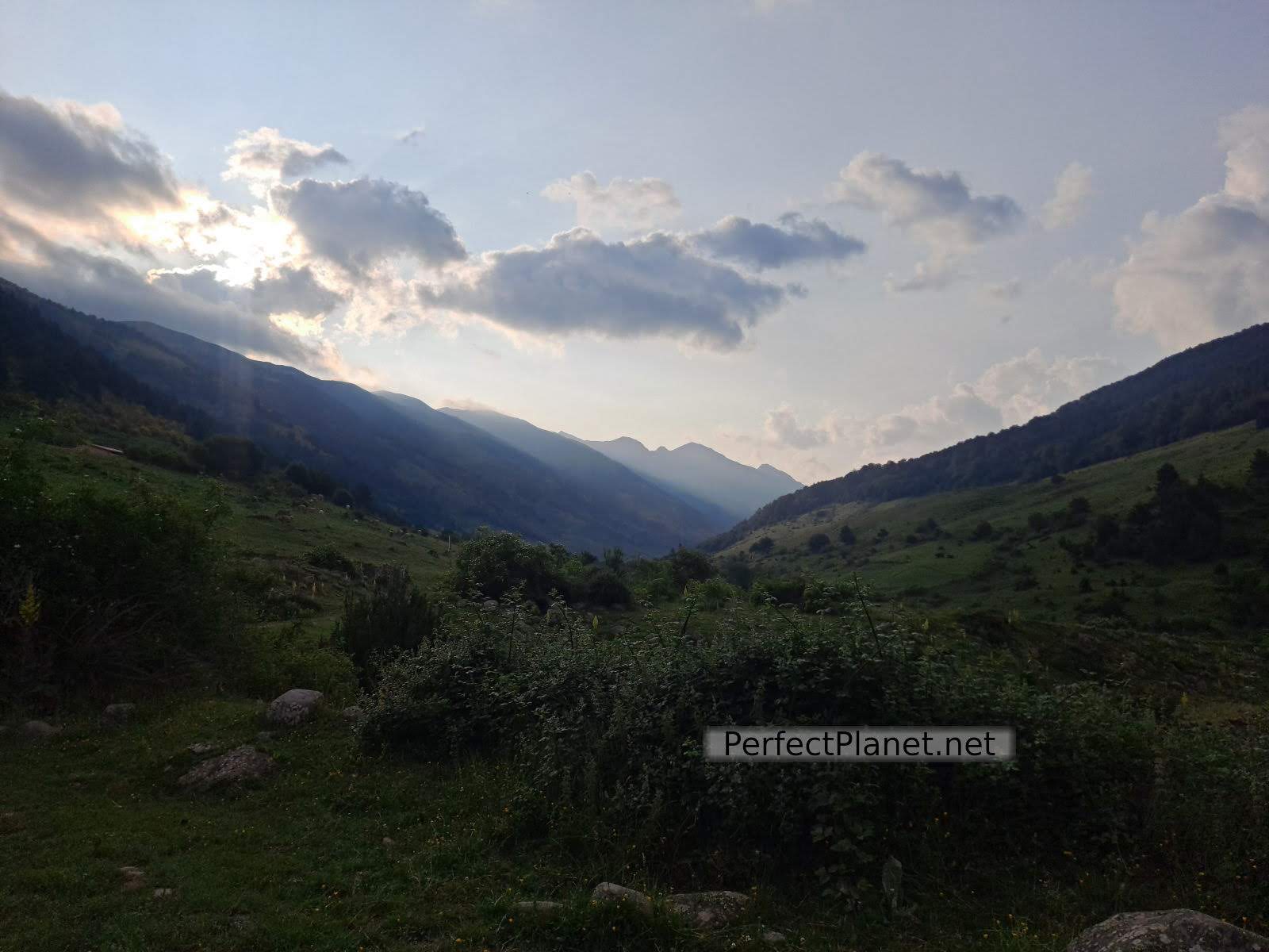
Sunrise
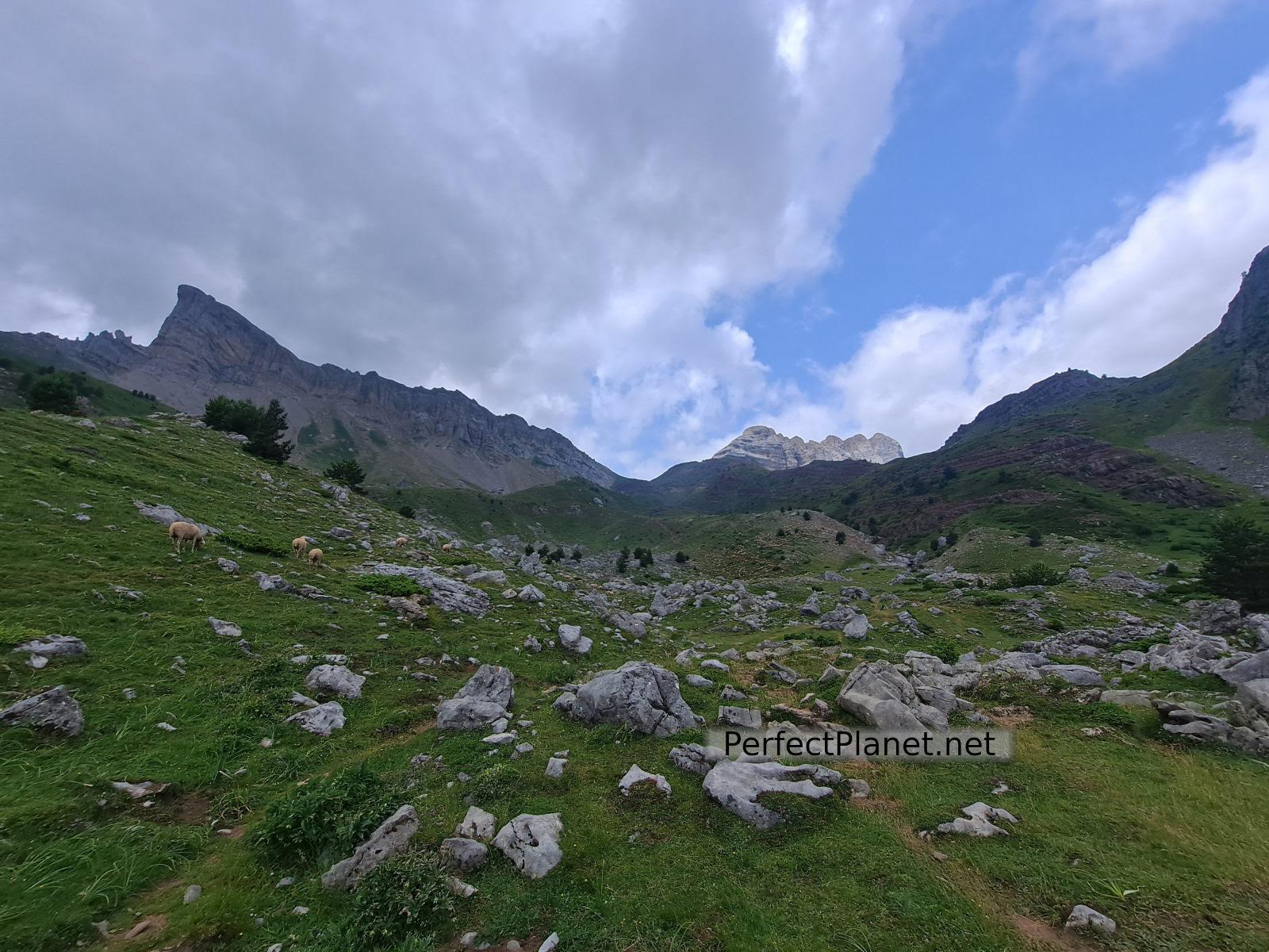
We follow the red and white waymarks of the GR11 in the direction of the Petraficha pass. As soon as we start we are greeted by a huge flock of sheep, they have no dogs.
Path
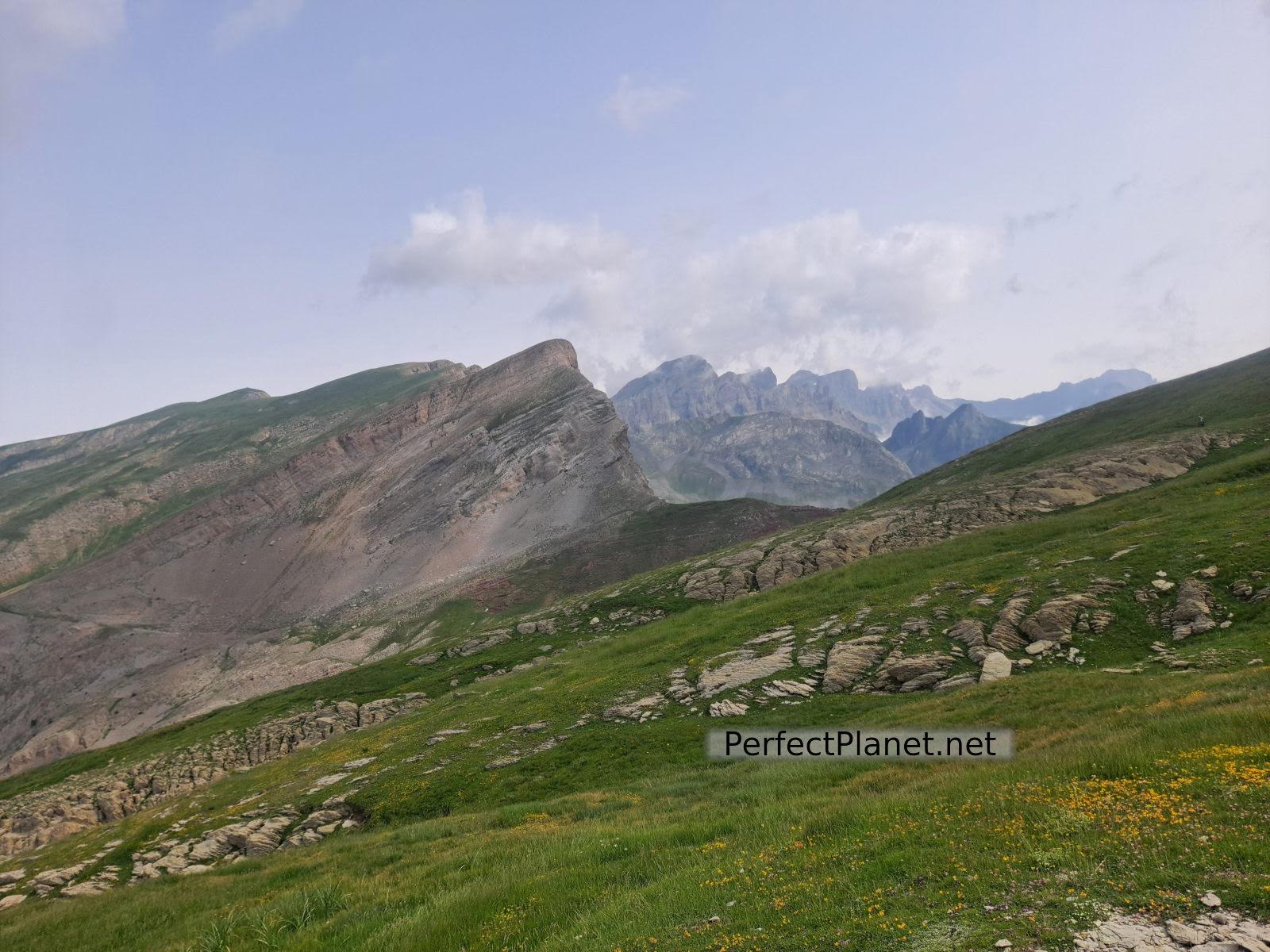
We continue along the well-marked path of the GR11, leaving the Mallo de las Ferrerías to our right. The ascent is continuous but steady until we reach the pass of Petraficha.
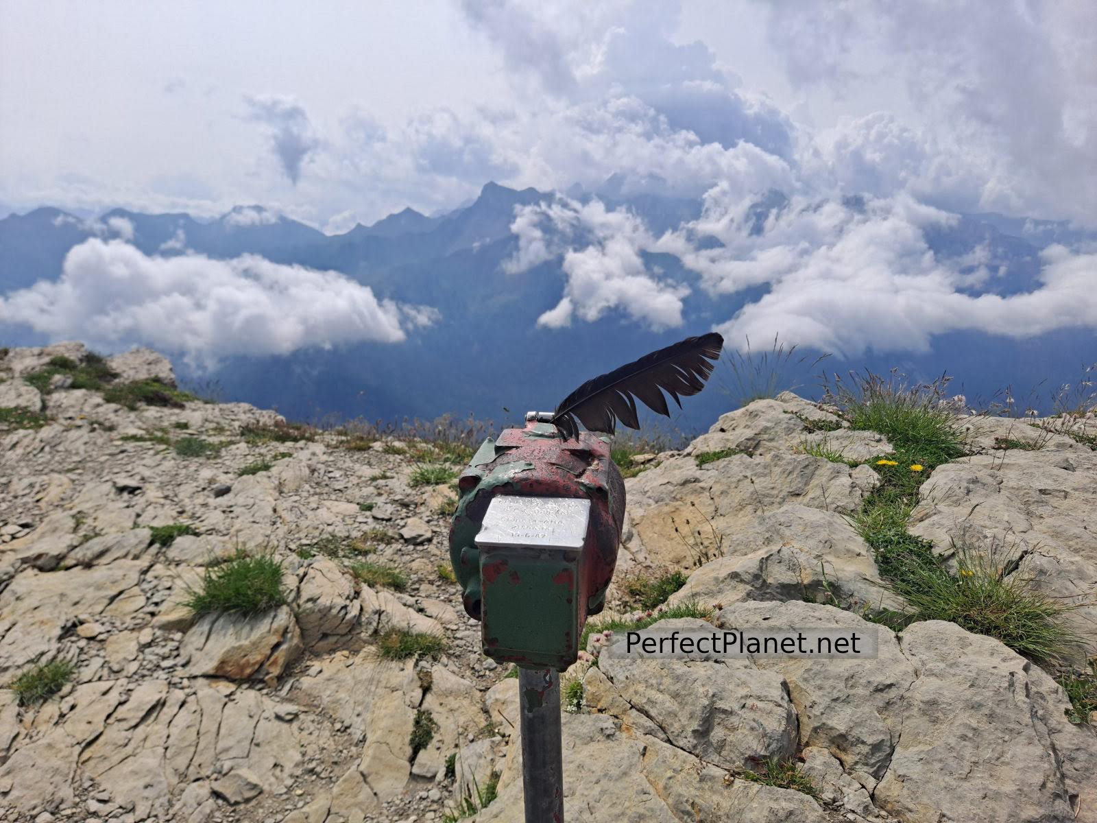
Pass
Pass
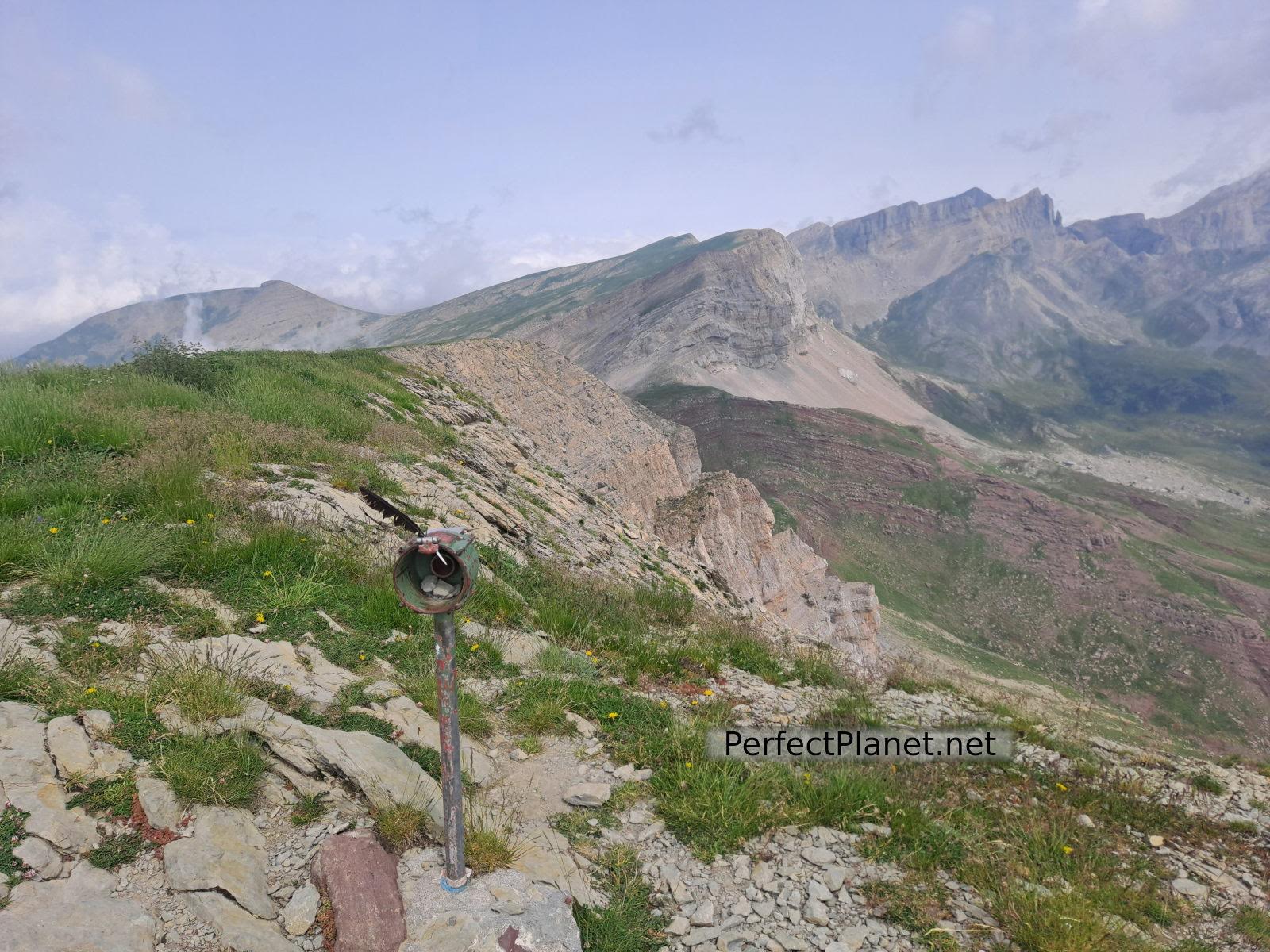
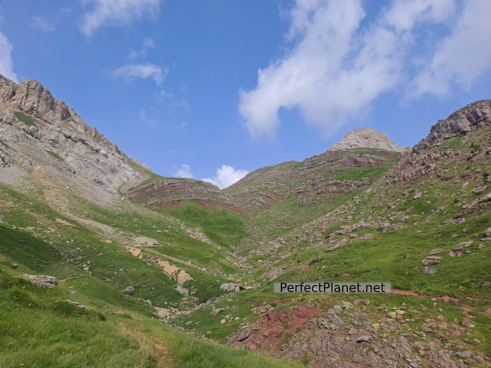
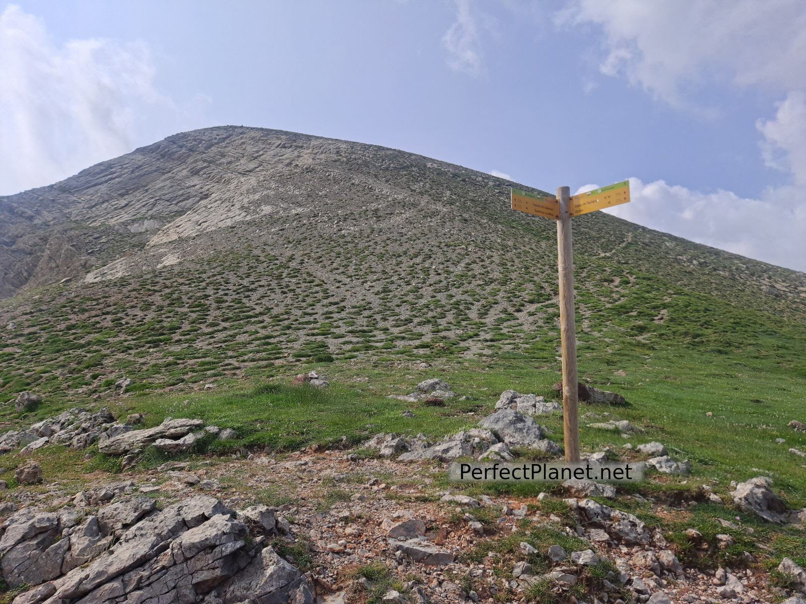
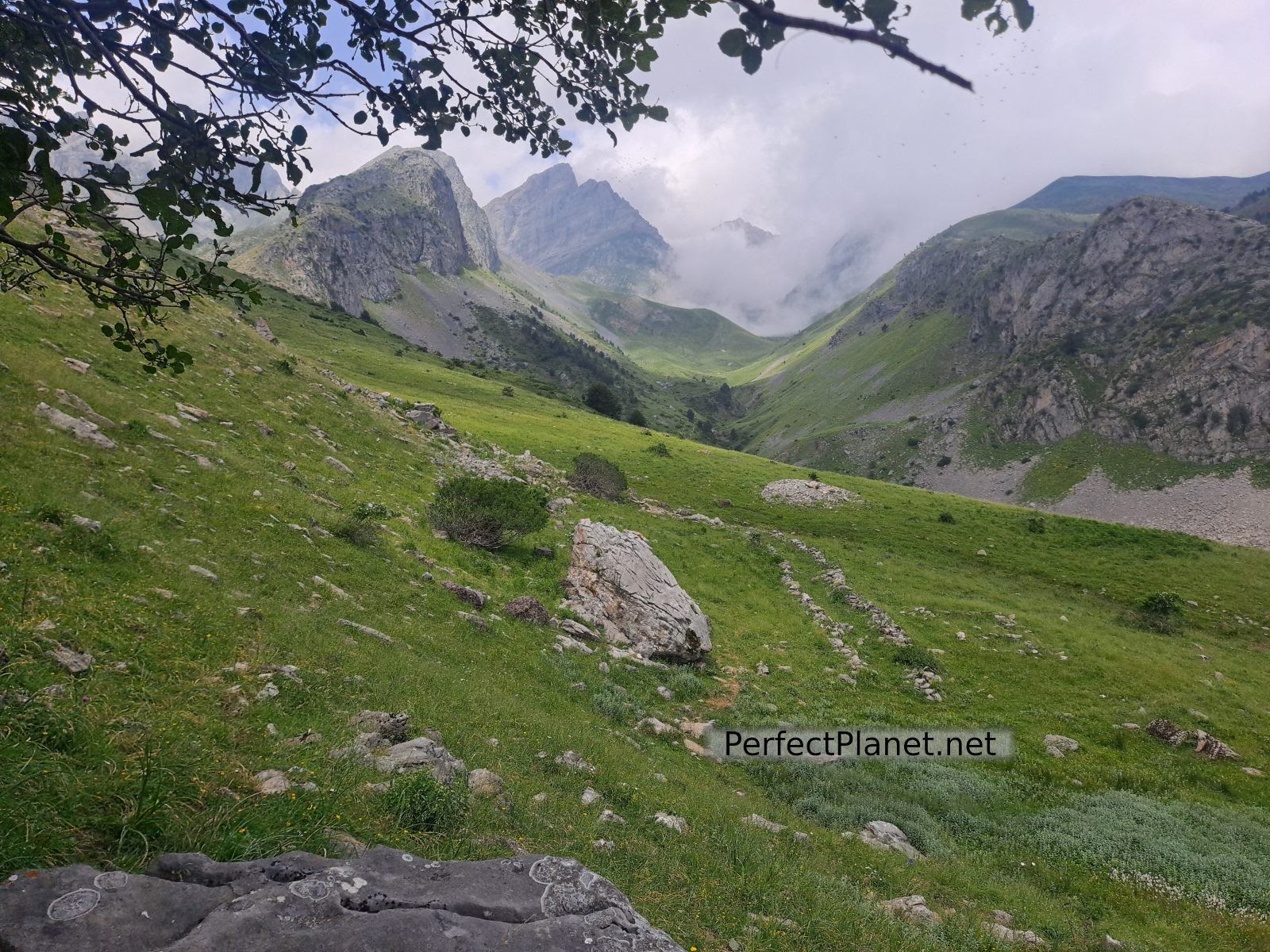
From the pass we take the milestones on our left to continue along a grassy meadow until we reach the summit.
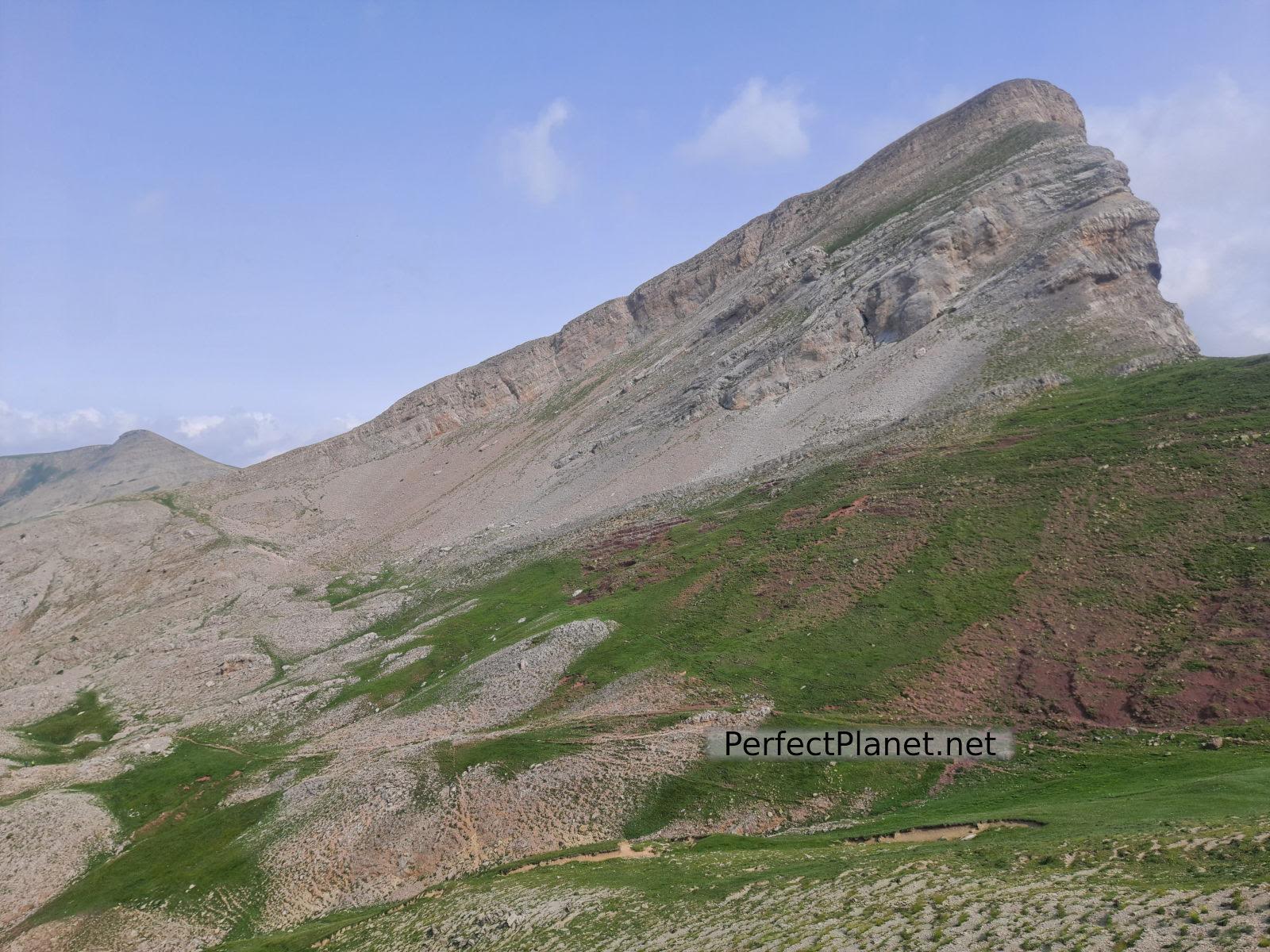
Petraficha
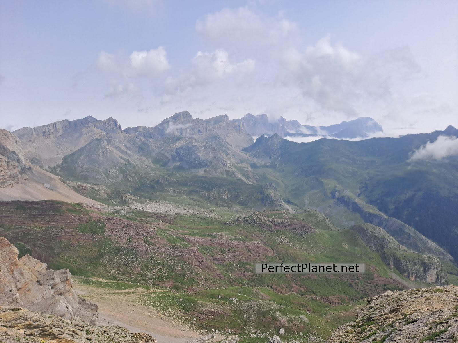
The views from Chipeta Alto are beautiful, to our right Selva de Oza and to our left the whole Acherito ravine with Petraficha, Acherito and Quimboa Alto, in front of us ibón de Acherito.
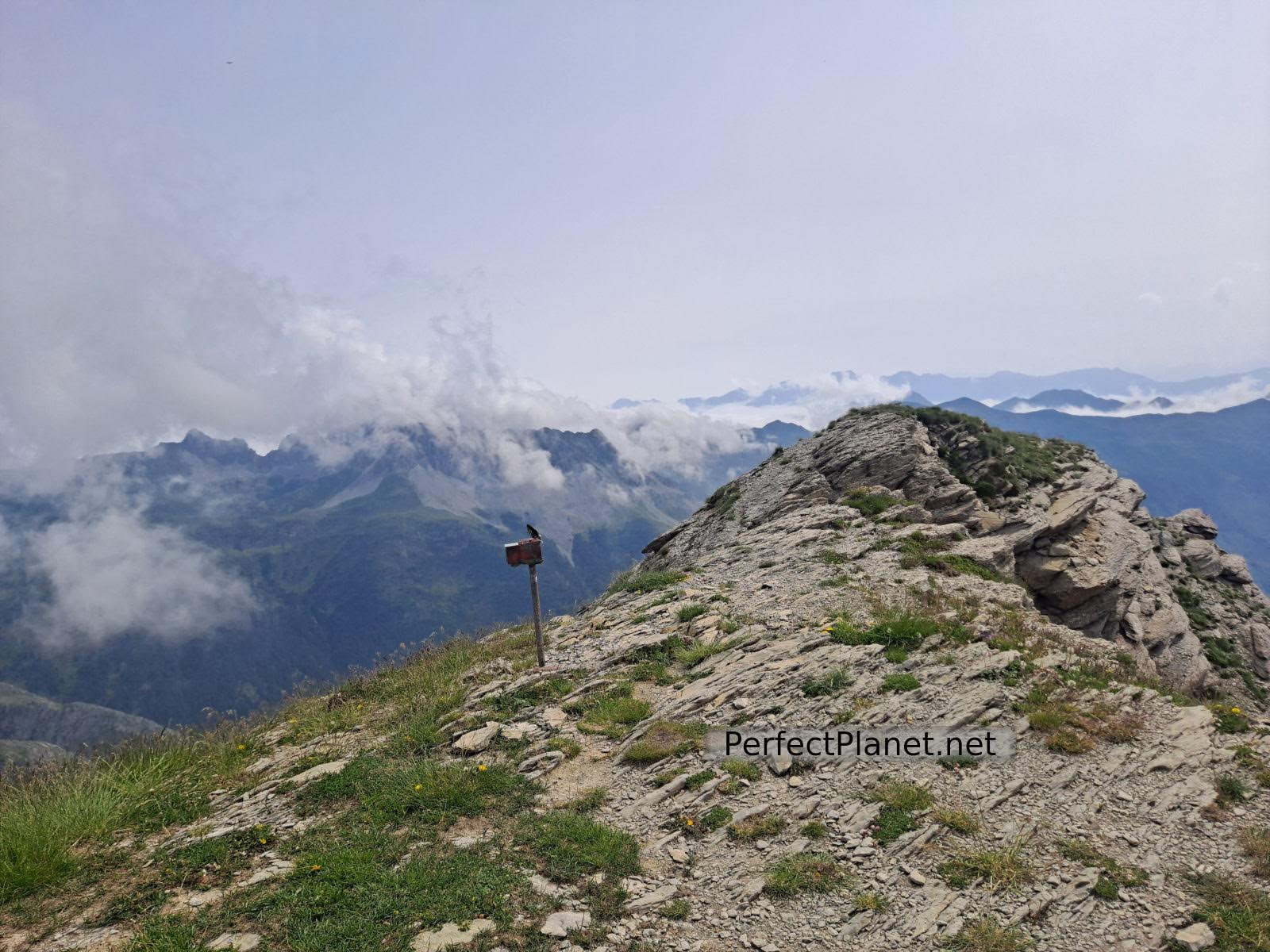
Chipeta Alto
Views
We returned by the same route, but this time closer to the mountain range to enjoy the views.
Near the Mallo de Ferrerías we found the shepherd with the flock and the dogs, who did not approach us at any time.
Chipeta Alto
At an altitude of 1,500 metres we turn off to visit the dolmen and tumulus of Acherito, which are still in good condition. The last stretch on the way back is along the green and yellow path that takes you to the Acherito lake.
Dolmen
Route: linear
Distance: 10 kilometres
Elevation gain: 1.000 metres
Track on Wikiloc
Difficulty: easy
Tips: if you do this route in summer remember that there is no shade or water along the whole route, so you should always be protected with sun cream and carry enough water. If you do the winter variant remember to bring full equipment, ice axe and crampons.
Whoever makes full or partial use of this track and its additional information, assumes full responsibility for the risks inherent in the practice of the activity, this information is for guidance purposes only.
Map
You may be interested in
- Log in to post comments