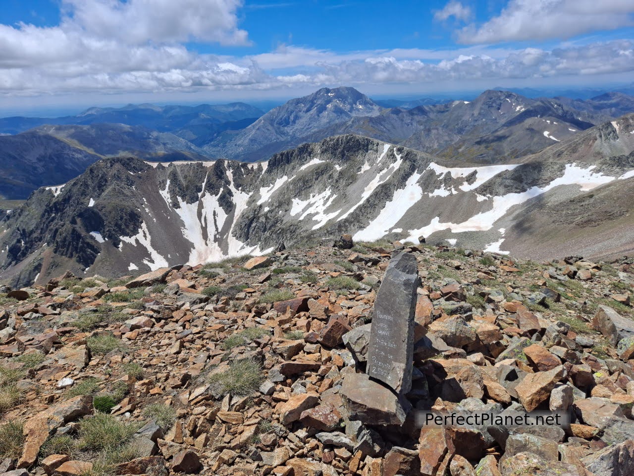
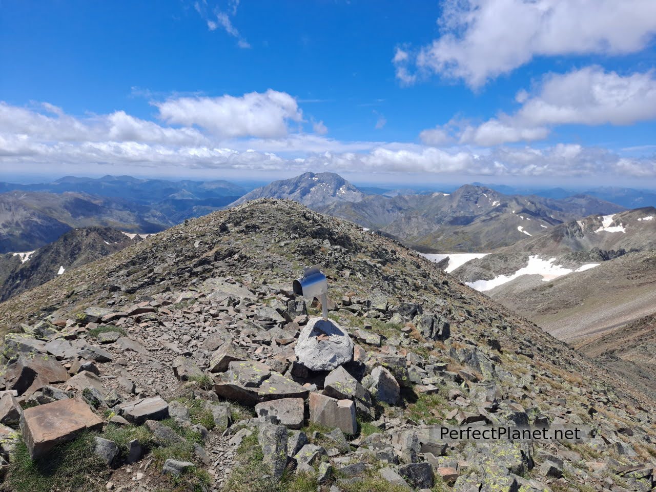
With its 2,539 meters high, the Peña Prieta or Infierno peak is considered the roof of Fuentes Carrionas.
Peña Prieta
Peña Prieta Sur (2,537 metres) the highest peak in Palencia and Peña Prieta the highest in Cantabria outside Picos de Europa.
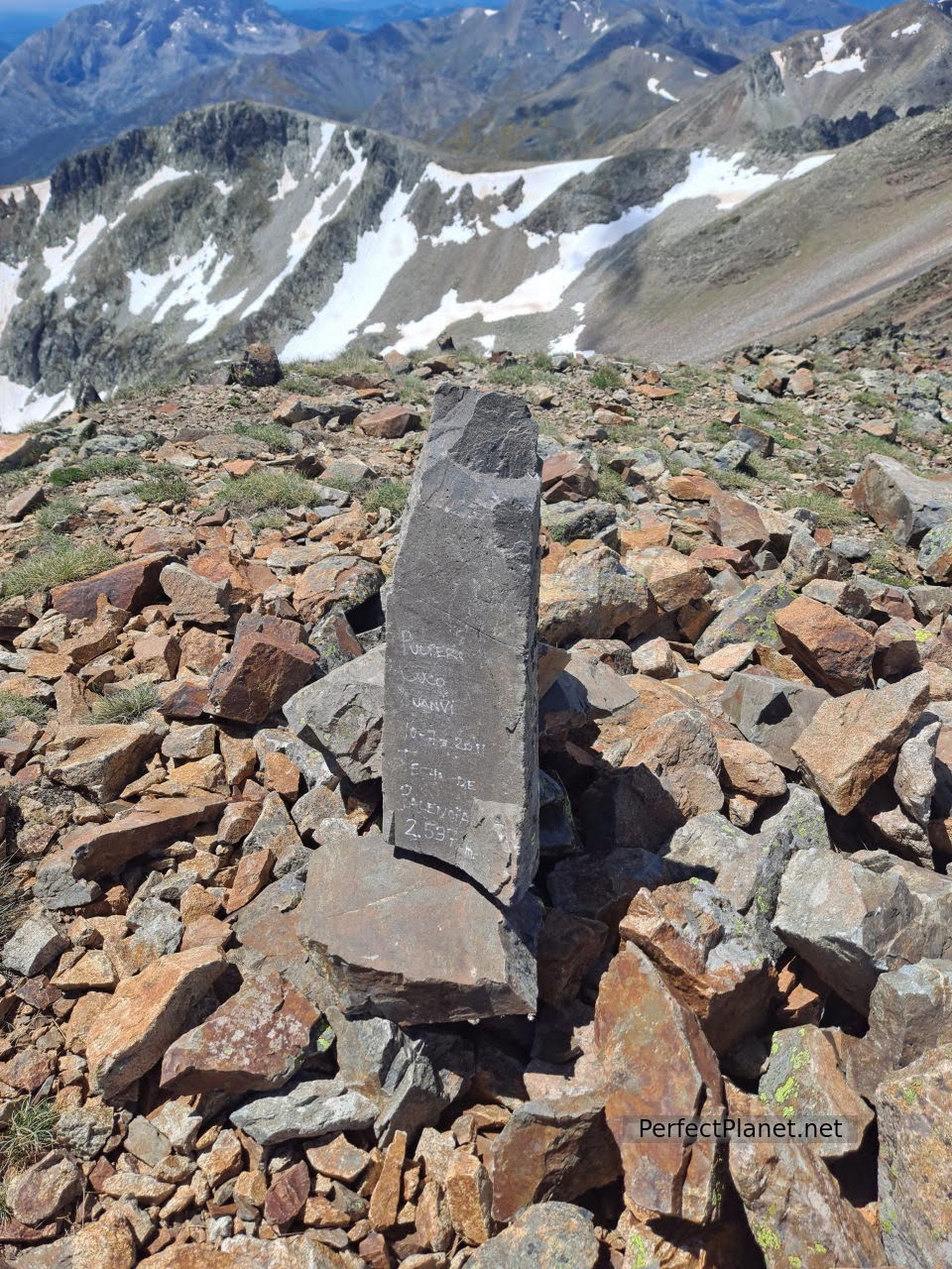
Summit
Peña Prieta
How to get there
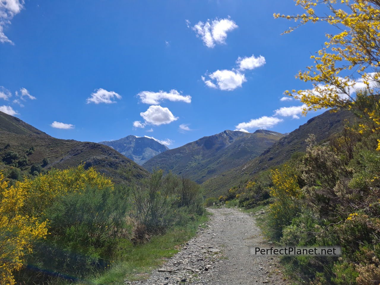
To start our route we leave the car in the Palencia town of Cardaño de Arriba following the P 217 road.
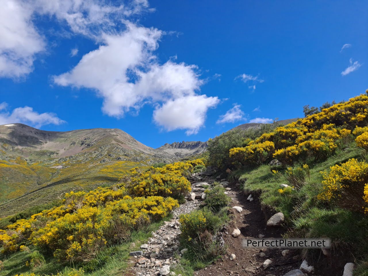
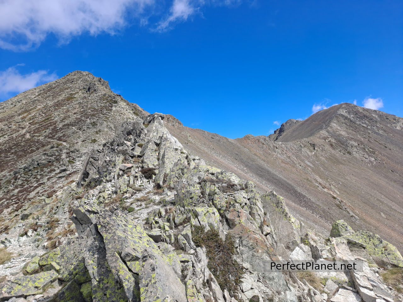
Path
We start the route in Cardaño de Arriba following the signs to Pozo de las Lomas, a lake of glacial origin at the foot of the Lomas peak.
The path is simple and well signposted. We walk the 6 kilometres (700 metres in height) to the well, crossing the river twice over bridges.
Just before reaching the well there are signposts for the classic Peña Prieta climb, but we can also continue to the well and climb the Agujas de Cardaño, a vertical slope of almost 45 degrees, accessible without ropes depending on the state of the snow.
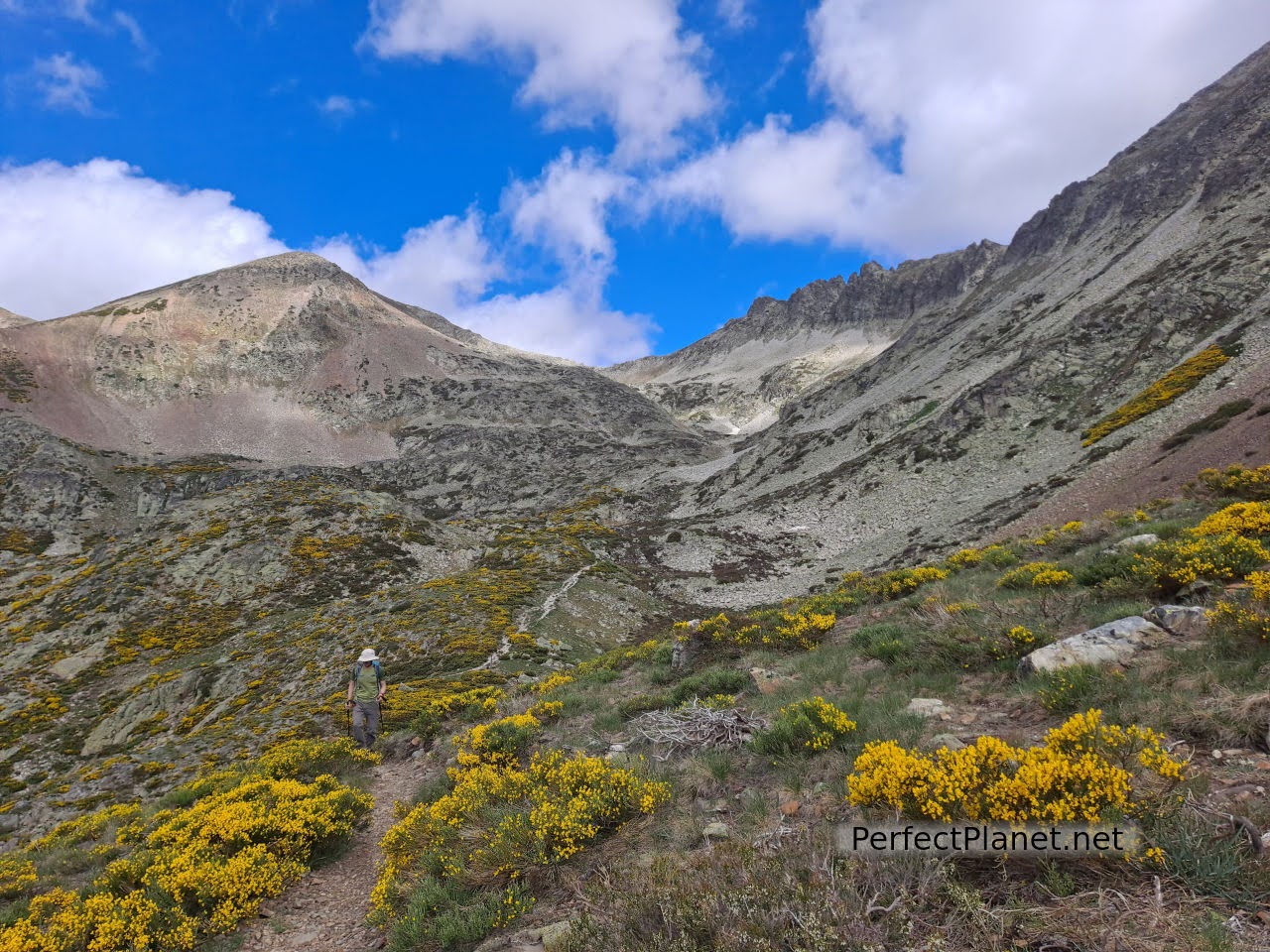
Agujas de Cardaño and Lomas peak
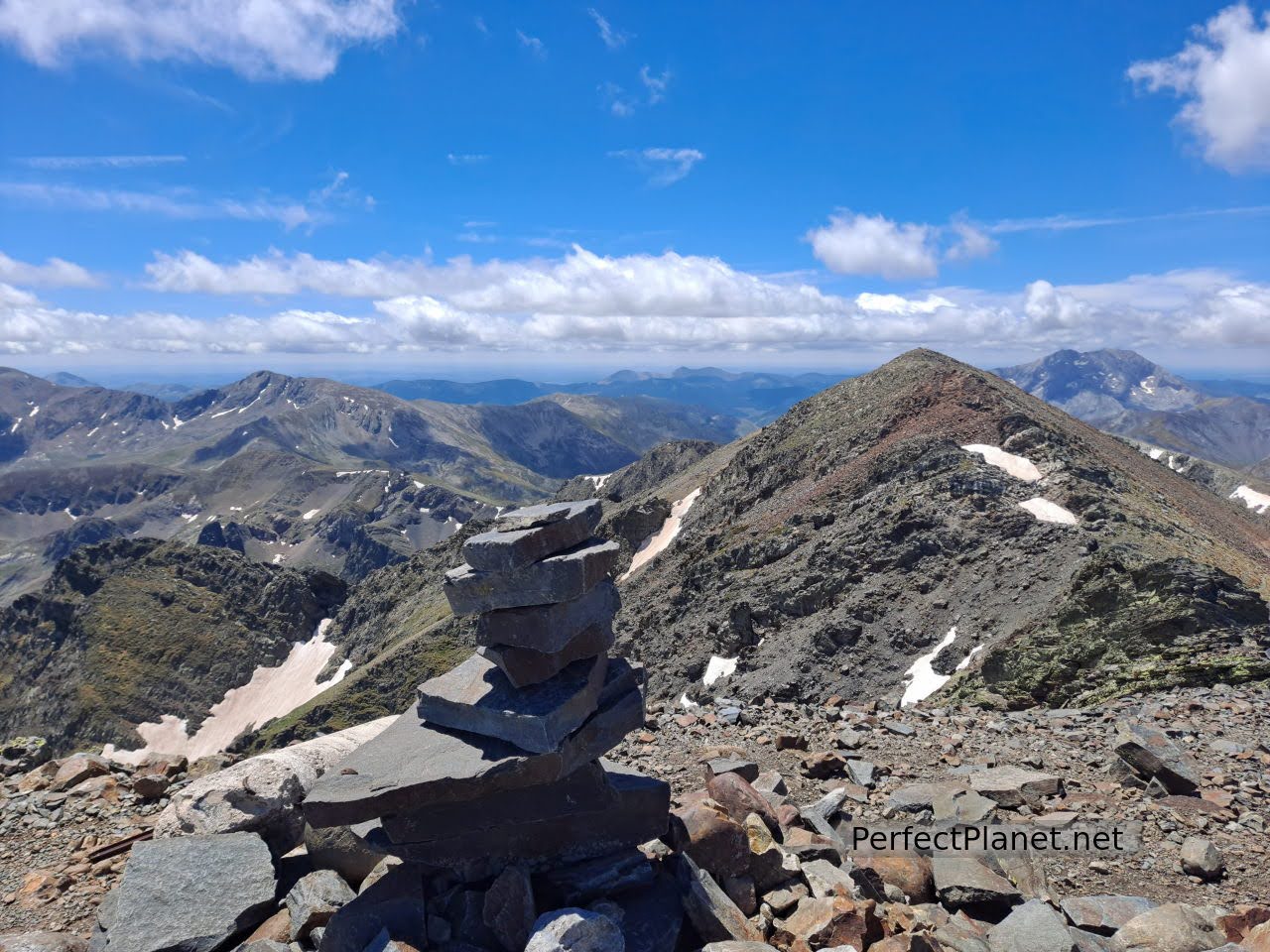
The classic route takes us to the Tío Celestino pass, from where we have a beautiful panoramic view of the Tres Provincias peak and Peña Prieta. We continue to the Alto del Consejo and from here to the Alto de Fuentes Carrionas.
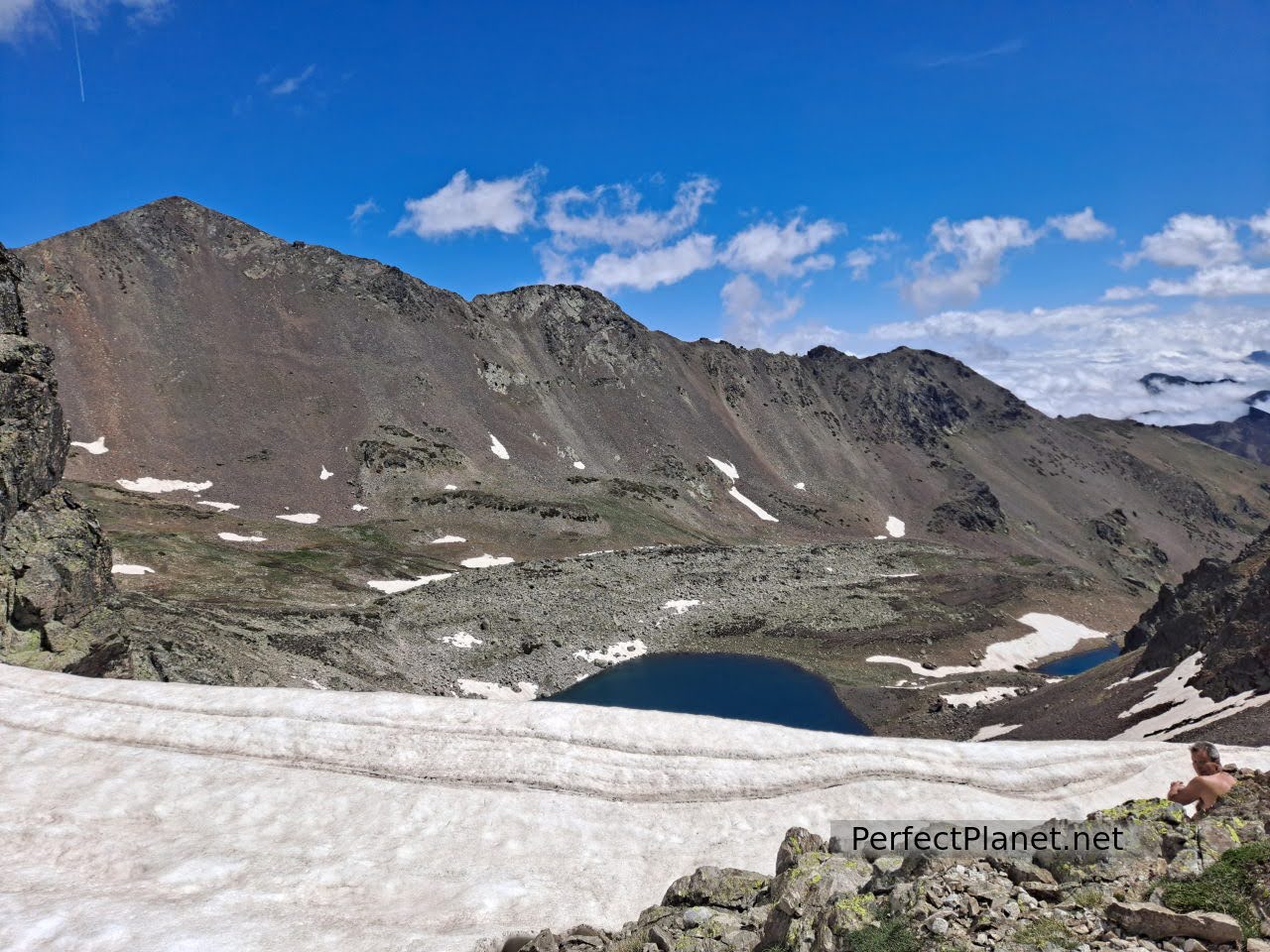
Pozo Lomas
If we go up the Agujas we will also reach the top of Fuentes Carrionas.
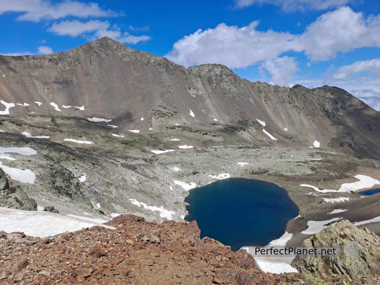
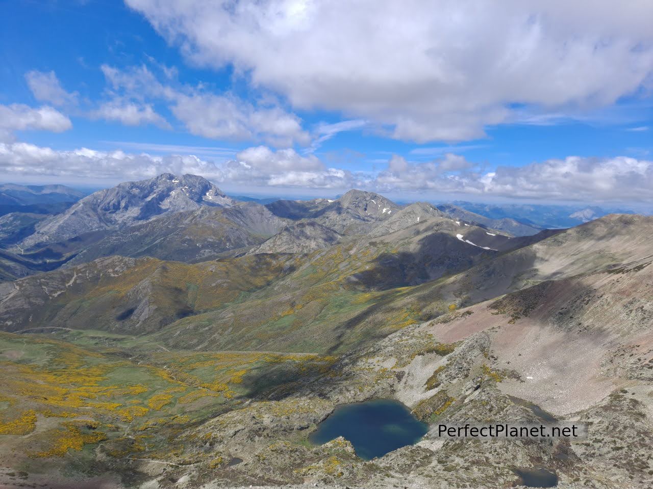
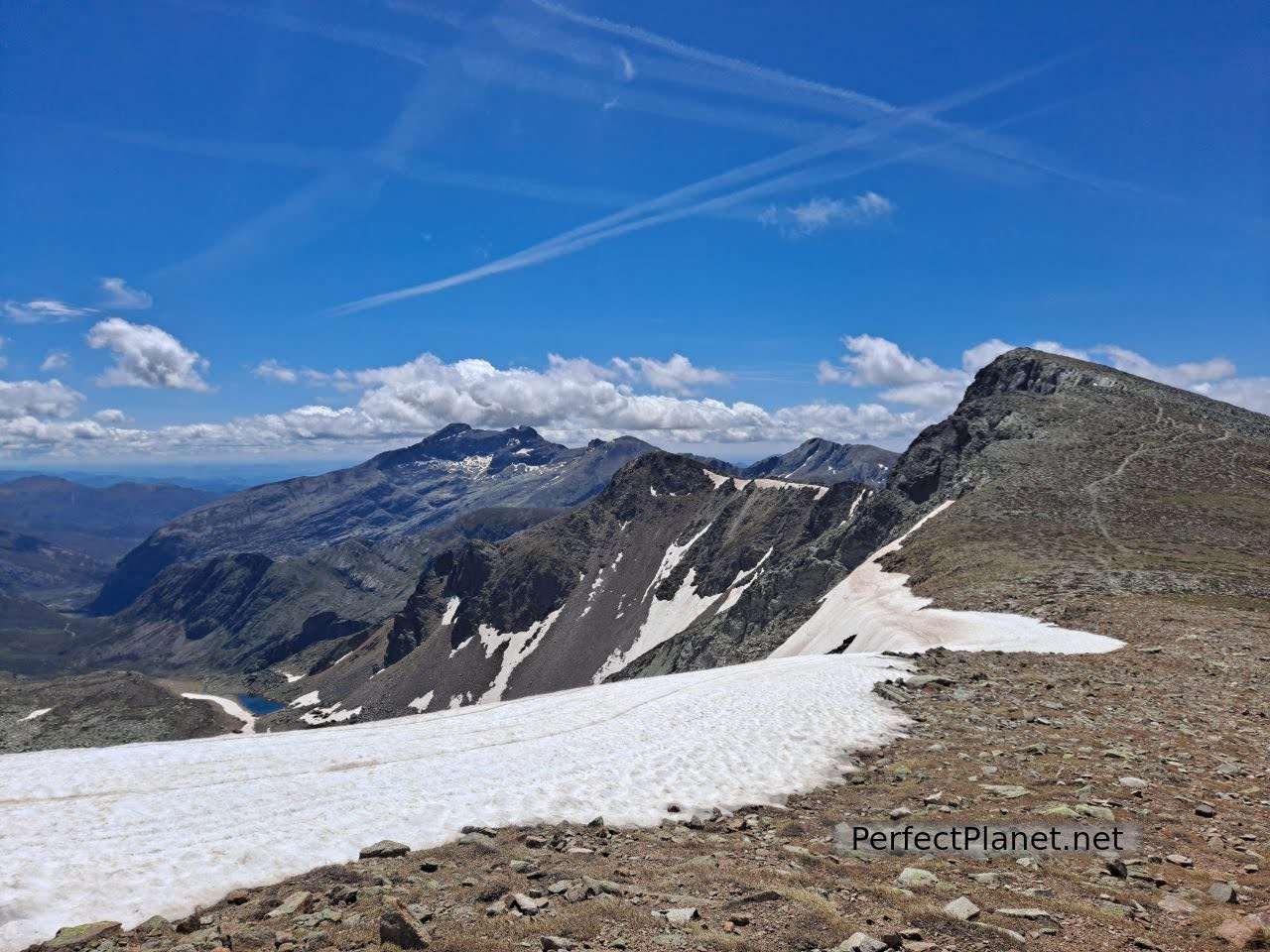
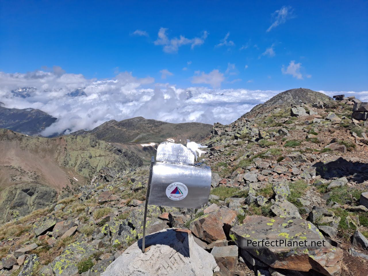
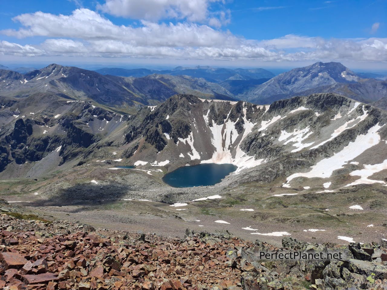
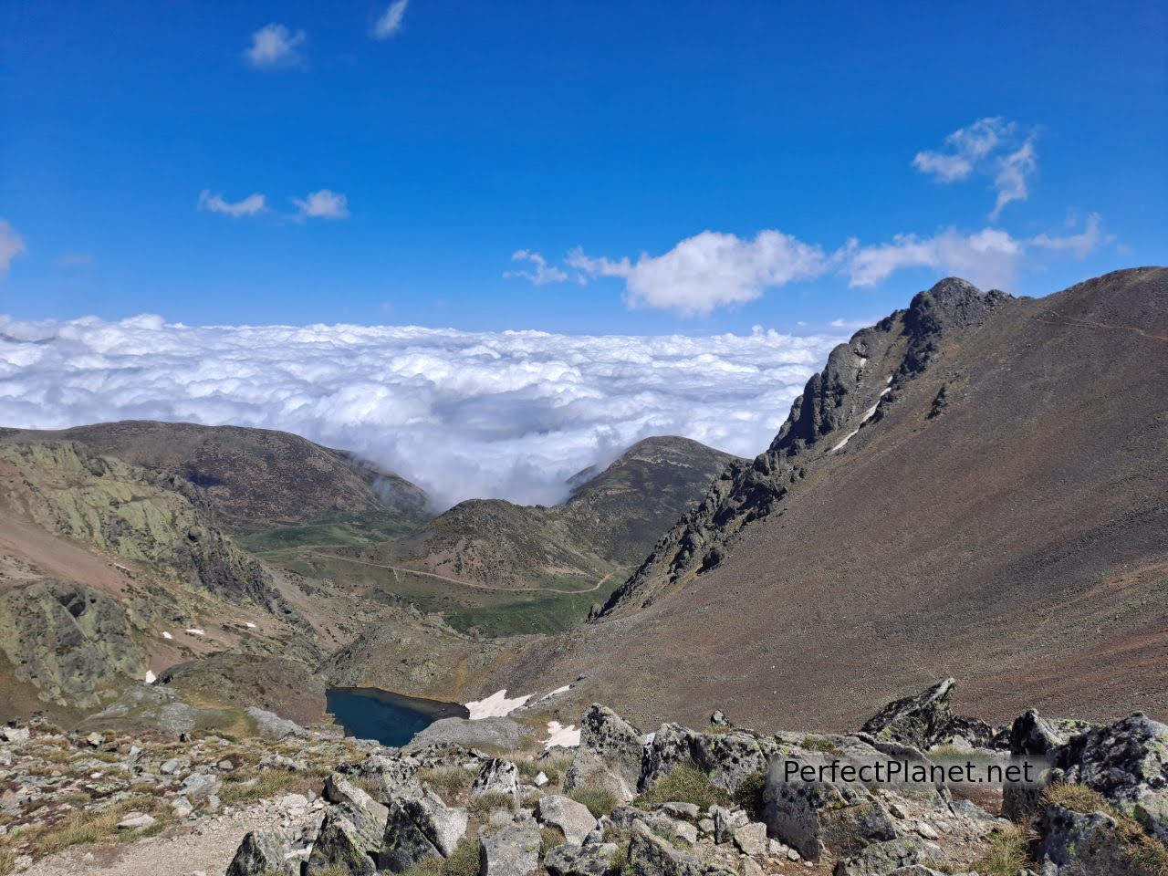
From here the two paths join to first reach the Tres Provincias peak, which offers spectacular views of the cirque, the Fuentes Carrionas lagoon, the north face of Curavacas and the south summit of Peña Prieta.
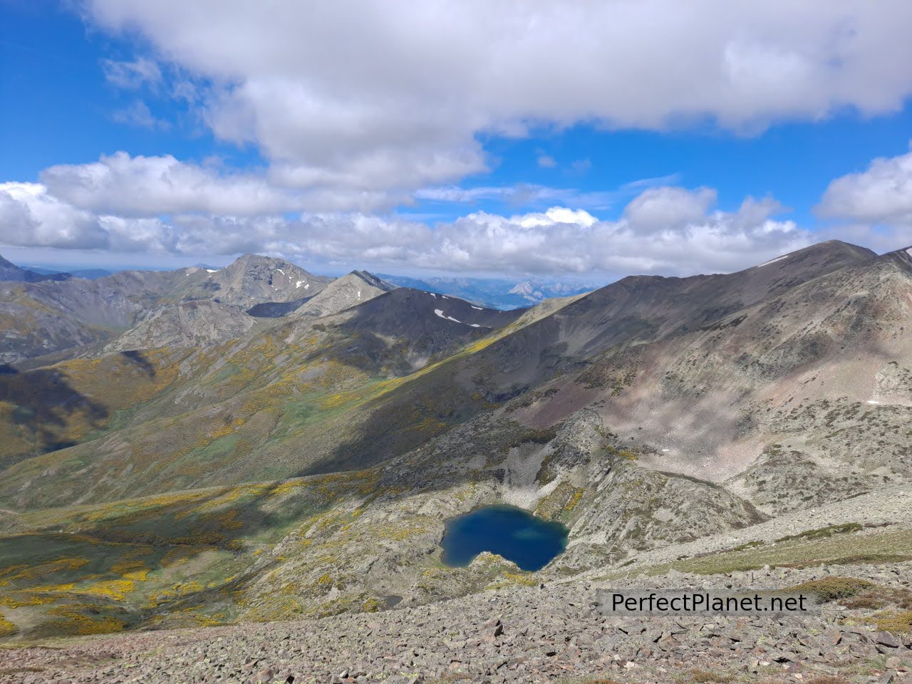
Peña Prieta and Fuentes Carrionas lagoon
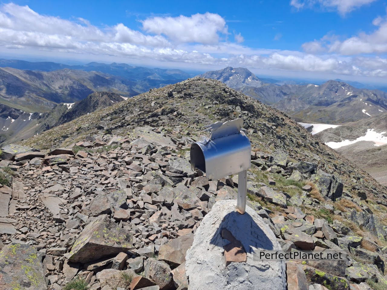
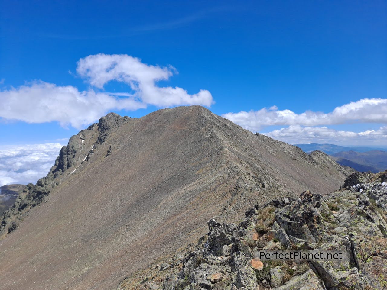
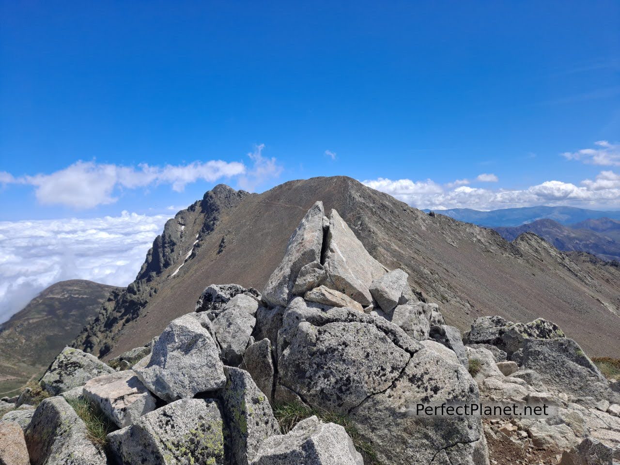
From the Tres Provincias, barely a kilometre separates us from the summit of Peña Prieta South, located in the province of Palencia, and from the main peak, which we reach by cresting, known as Infierno peak, located in the community of Cantabria.
The views are spectacular.
Peña Prieta
We return along the same path until we reach the Alto de Fuentes Carrionas where you can decide whether to continue along the classic route to the Alto del Tío Celestino or descend via the Agujas de Cardaño directly to the Lomas well.
Our recommendation. If you want to do the circular route, it is easier to climb up the Agujas and descend via the Tío Celestino pass, although neither of these two options is technically difficult.
With snow the Agujas can be complicated, you have to check the state of the snow first. We have done this route several times, if the snow is not too hard to climb the Agujas is incredible, remember to always carry crampons and ice axe and warm clothes.
Views
Altares well
If you need accommodation you can stay in Triollo at the Mesón Albergue Curavacas or in Cardaño de Abajo at the Caserón de Fuentes Carrionas.
If the weather is good, bivouacking is also a great option.
Tres Provincias peak
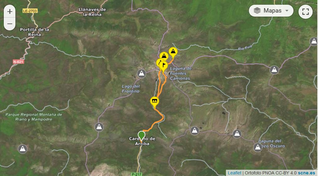
Map
NO SNOW
Route: circular
Distance: 20 kilometres
Difference in altitude: 1,300 metres
Difficulty: high
Signposting: good
Tips: if you do this route in summer remember that there is no shade along the whole route so you should always be protected with sun cream and carry enough water. If you do the winter variant remember to take full equipment, ice axe and crampons.
WITH SNOW
Route: circular
Distance: 18 kilometres
Difference in altitude: 1,400 metres
Track in Wikiloc
Difficulty: high
Signposting: good
Tips: If you do the winter variant remember to take full equipment, ice axe and crampons.
Whoever makes use of this track and its additional information, in whole or in part, assumes full responsibility for the risks inherent in the practice of the activity, this information is for guidance only.
Peña Prieta
You may be interested in
Mazobre waterfall
Murcia peak
Peña Tejo
- Log in to post comments