Surrounding the Ausente lake we find the small peaks of Requejines and Ausente.
Requejines summit
It is a nice and simple route to get to know the area of the San Isidro Winter Resort.
How to get there
To access the parking located on the ski slopes of the ski resort of San Isidro (León), take the road Le331 or the AS112 towards the port of San Isidro.
If there is no snow on the road you can take the detour to the left (or right if coming from Asturias) that leads parallel to the stream of Cebolledo, to the parking of the ski slopes of Cebolledo.
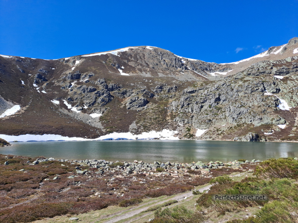
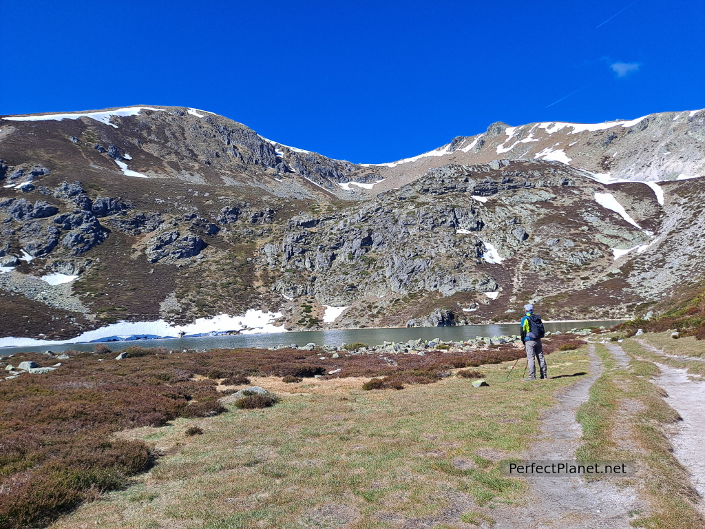
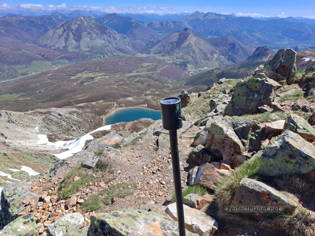
Ausente lake
Description
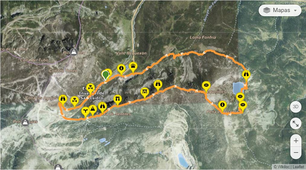
We start our route from the parking lot. We take a wide track to the left well signposted indicating Ausente lake. We are lucky to see two herds of chamois.
In just one kilometer we turn off onto a path on the right hand side that takes us directly to the Ausente Lake.
The truth is that it is a very nice place.
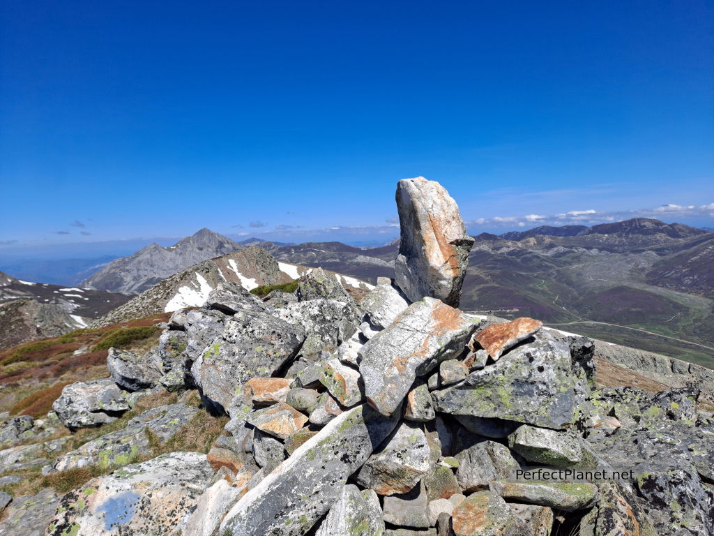
Peña Ausente
There is still snow lake and we have to avoid it.
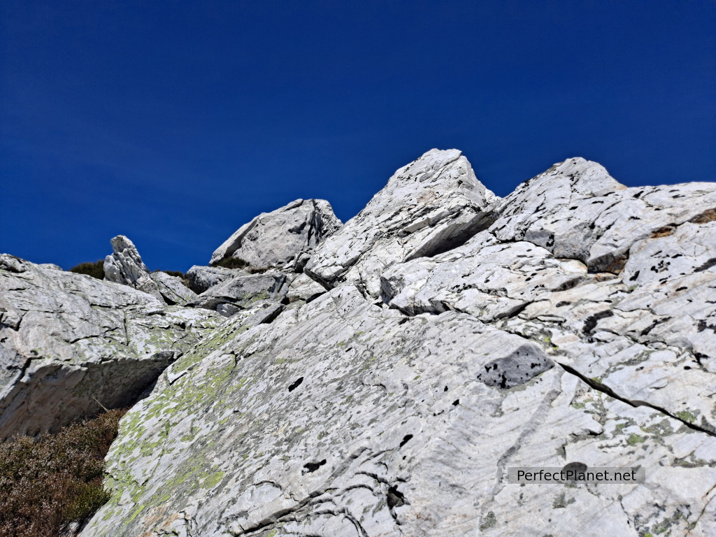
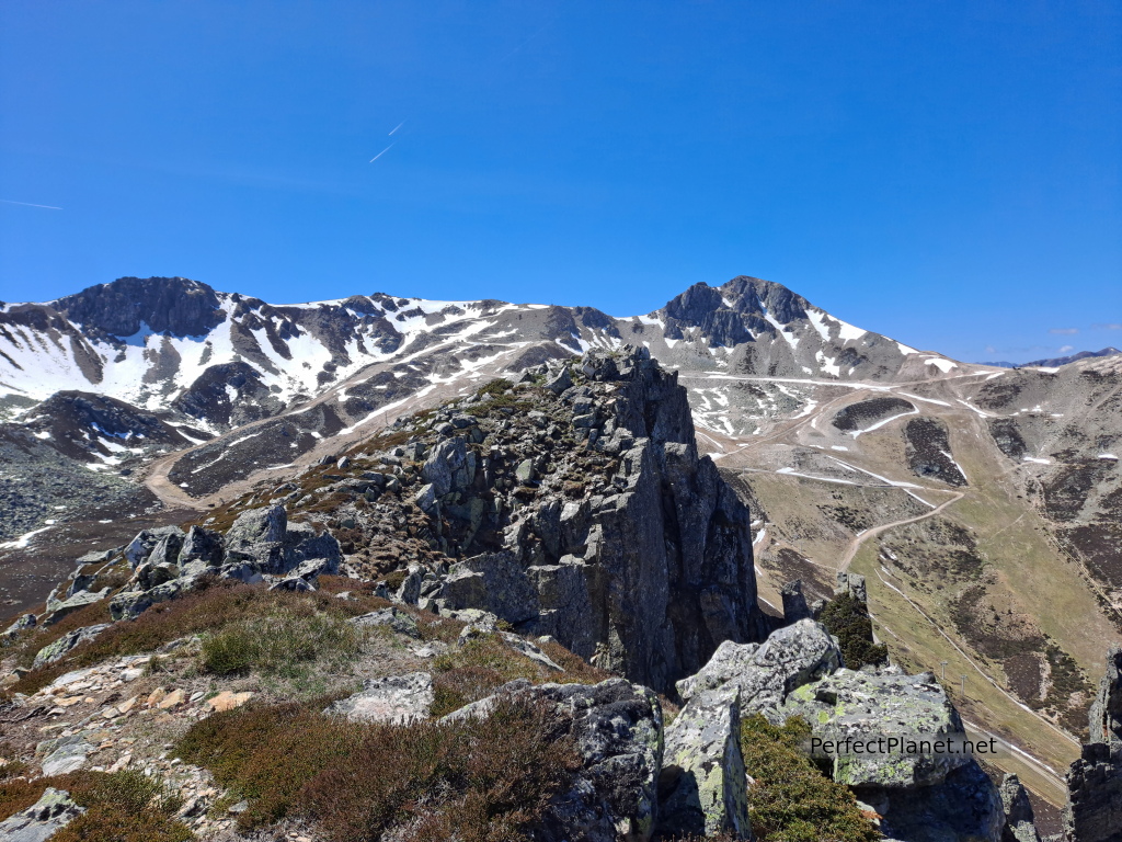
We go around the lake on the left side to climb directly to the Peña Ausente. The climb is steep but easy.
Once on the pass we make the summit.
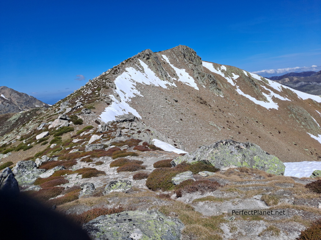
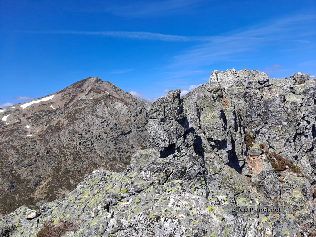
Pass
We continue along the pass to the top of the Requejines peak. The views of the lake are impressive.
Requejines can be accessed directly by a path that runs along the right side of the lake which is more tended.
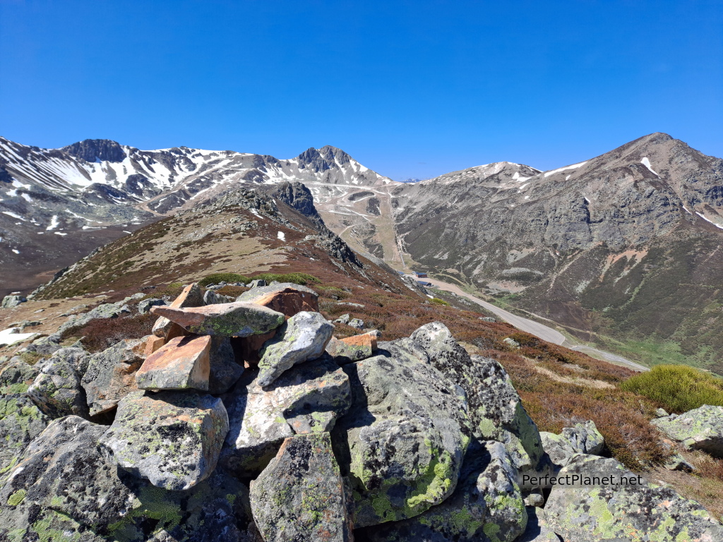
Views
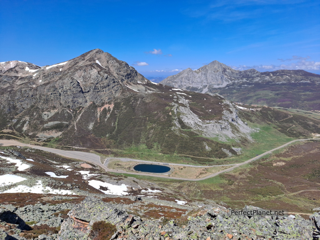
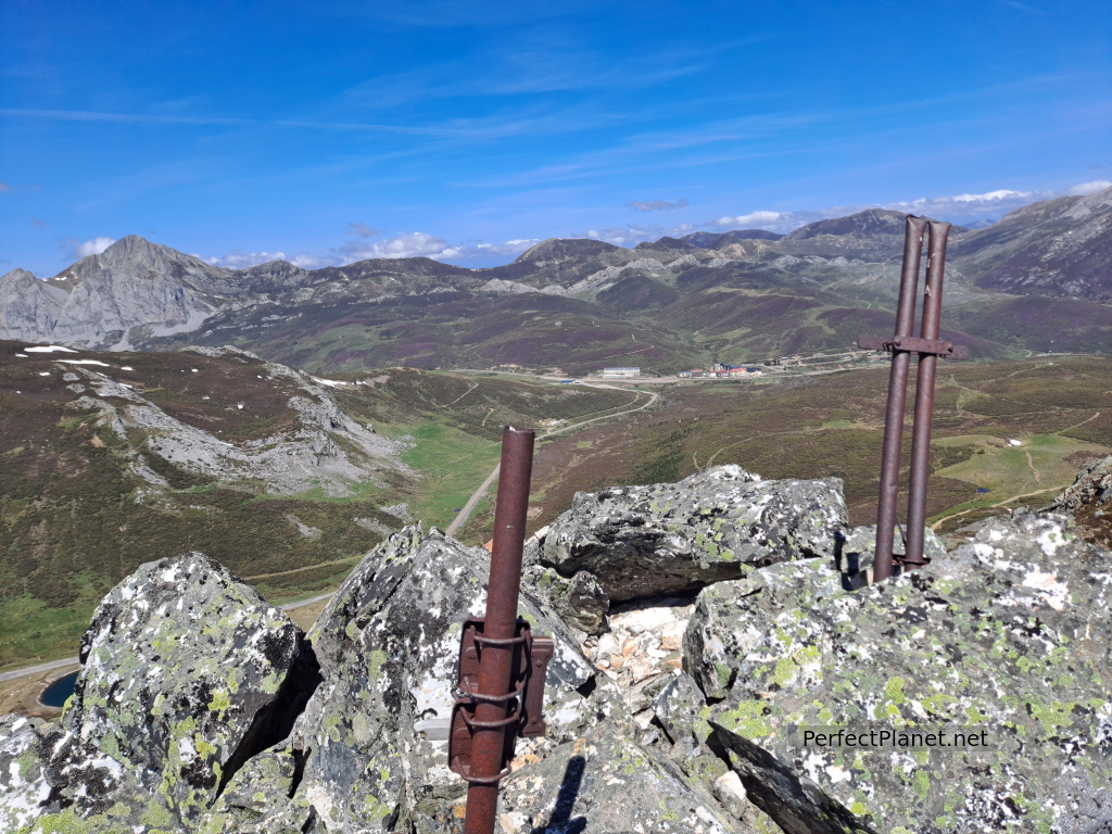
We descend along the west face following the yellow and white marked trail to go cresting the rest of the peaks until we reach the ski slopes again, where we descend to the parking lot.
Peña Agujas
To our left we see an open pit mine that seems abandoned.
The views of Peña Agujas and the massif surrounding San Isidro are beautiful.
Other summit
Distance 11 kilometers
Unevenness 650 meters
Circular route
Whoever makes full or partial use of this track and its additional information, assumes full responsibility for the risks inherent in the practice of the activity, this information is for guidance purposes only.
Map
Map
- Log in to post comments