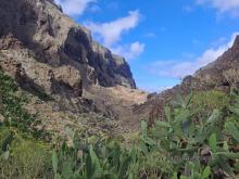
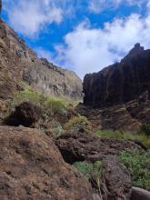
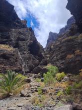
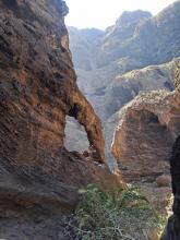
Located in the Teno Rural Park, in the northwestern part of the island, the Masca ravine is one of the most impressive areas of the island of Tenerife.
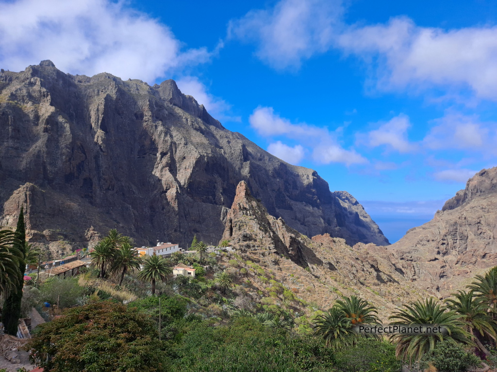
Masca
Access is restricted and only a certain number of people are allowed per day. You can get free permits on the caminobarrancodemasca website, but without a permit you can't enter the gorge as the trail starts from the Masca visitor centre.
Seven days before the date you want to go, the permits are usually released but we were not so lucky and had to book a guided tour through the same website. They are small groups and cost 30€/pax, but it's still worth it.
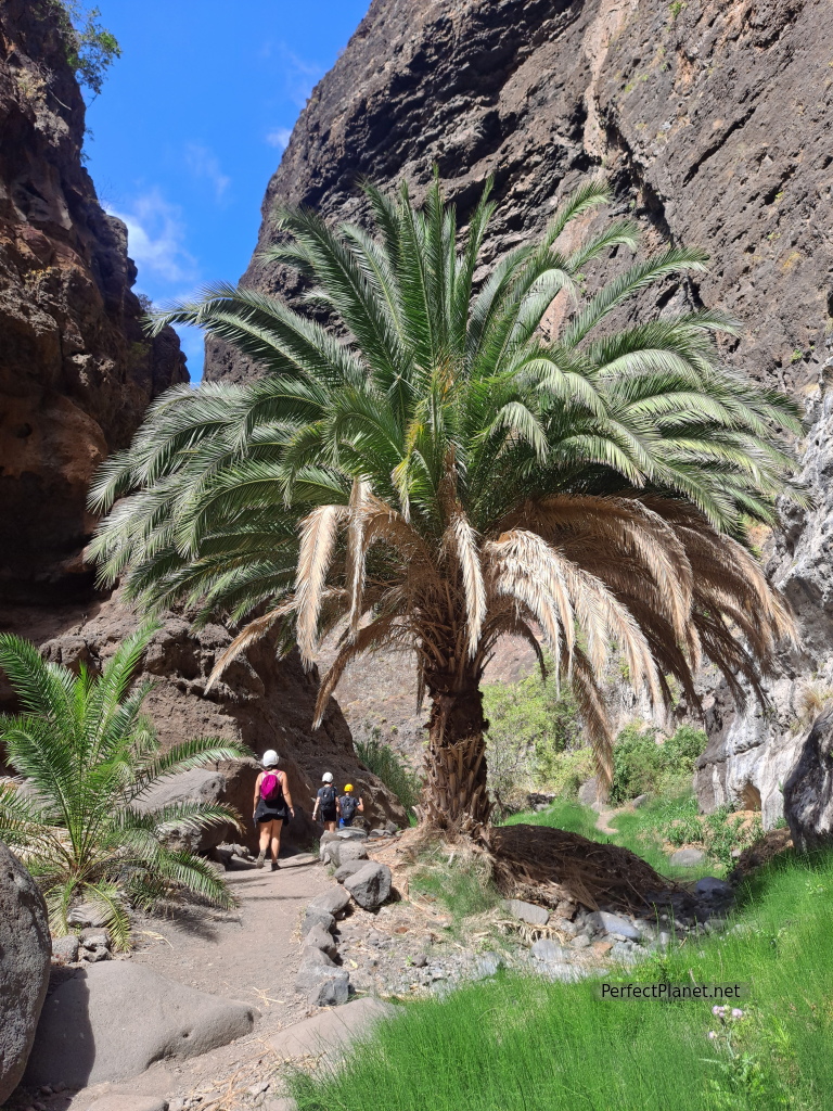
Masca ravine
It used to be possible to go down the ravine and leave in a boat on the beach, but nowadays this is not allowed and you have to walk up and down. It is compulsory to wear shoes with good soles; they will check them at the visitor's centre.
We advise you to bring at least two litres of water and sun cream.
It is compulsory to wear a helmet during the whole tour, you will be provided with one at the visitor's centre whether you go on your own or in a guided group.
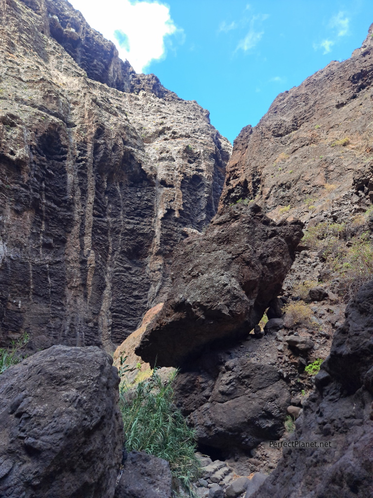
Masca ravine
How to get there
Masca is a very small town and there is hardly any parking, and if you don't park properly you can be fined. We recommend that you go by bus. The TITSA bus company runs daily buses to Masca (line 355) from the north in Buenavista (parking is no problem at the bus station) and from the south in Santiago del Teide.
What we do recommend is that you arrive at the bus stop well in advance because the buses are small and can't hold more than 20 people. The fare is 2.20€/pax.
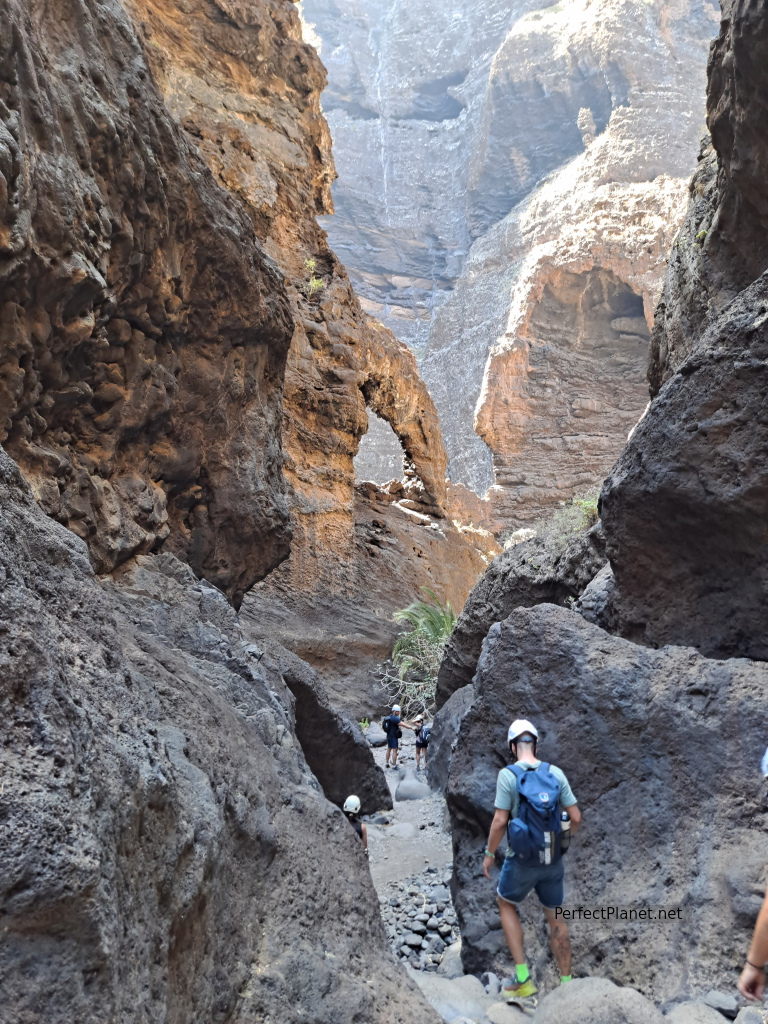
Masca ravine
Description of the route
We start our route at the visitor centre in Masca, where we are given a helmet and assigned a number. There are toilets and beautiful views of the ravine.
The trail is very well marked and is not difficult except for the last part of the climb due to the heat.
We start the route, the guide (Ernesto) tells us interesting facts about the area. In the last 9 months it has only rained 10 days, despite the drought we find water along the route.
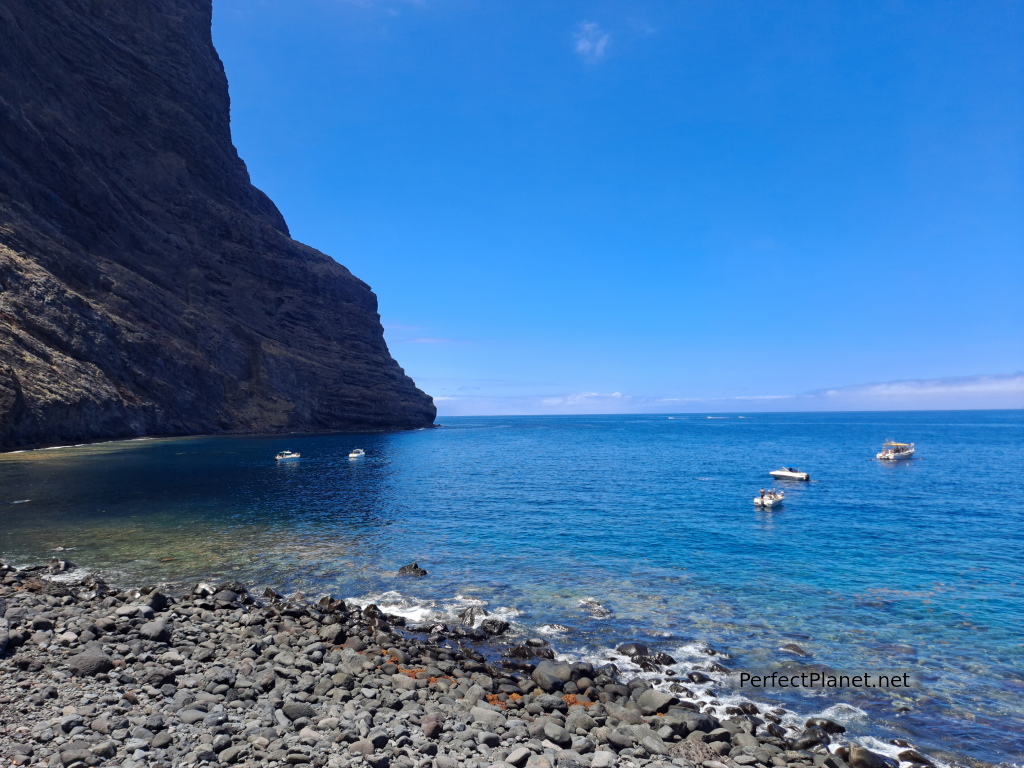
Masca beach
There are several checkpoints along the route.
The volcanic ravine is not very shady. In some areas you can see the chimneys and lava dams.
About two kilometres from the start is the section with the greatest risk of landslides, often caused by semi-wild goats.
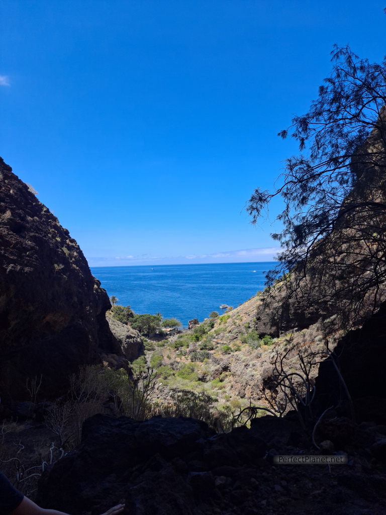
Masca ravine
The path has been restored, the original one was a rocky path that was difficult to walk on.
Once on Masca beach we take a break for lunch. It is not allowed to return by boat due to the number of accidents and injuries to hikers who were not wearing suitable footwear and clothing for trekking. You can come and swim in the area but by private boat.
The return is by the same path in the opposite direction.
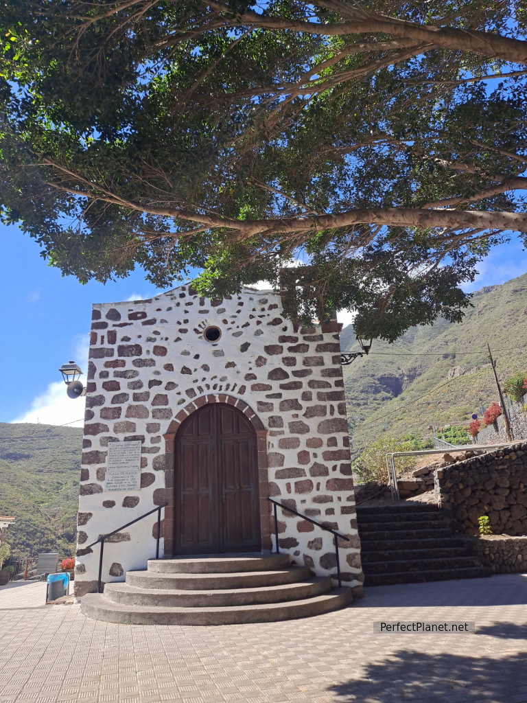
Masca
Distance 10 kilometres round trip
Difference in altitude 700 metres
Linear route
Moderate difficulty, mainly due to the heat and sunshine
Whoever makes full or partial use of this track and its additional information, assumes full responsibility for the risks inherent in the practice of the activity, this information is for guidance purposes only.
Map
Map
- Log in to post comments

