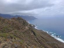
Today we get to know the Anaga Rural Park through one of its most beautiful routes, the circular route that links the Benijo beach with Chamorga.
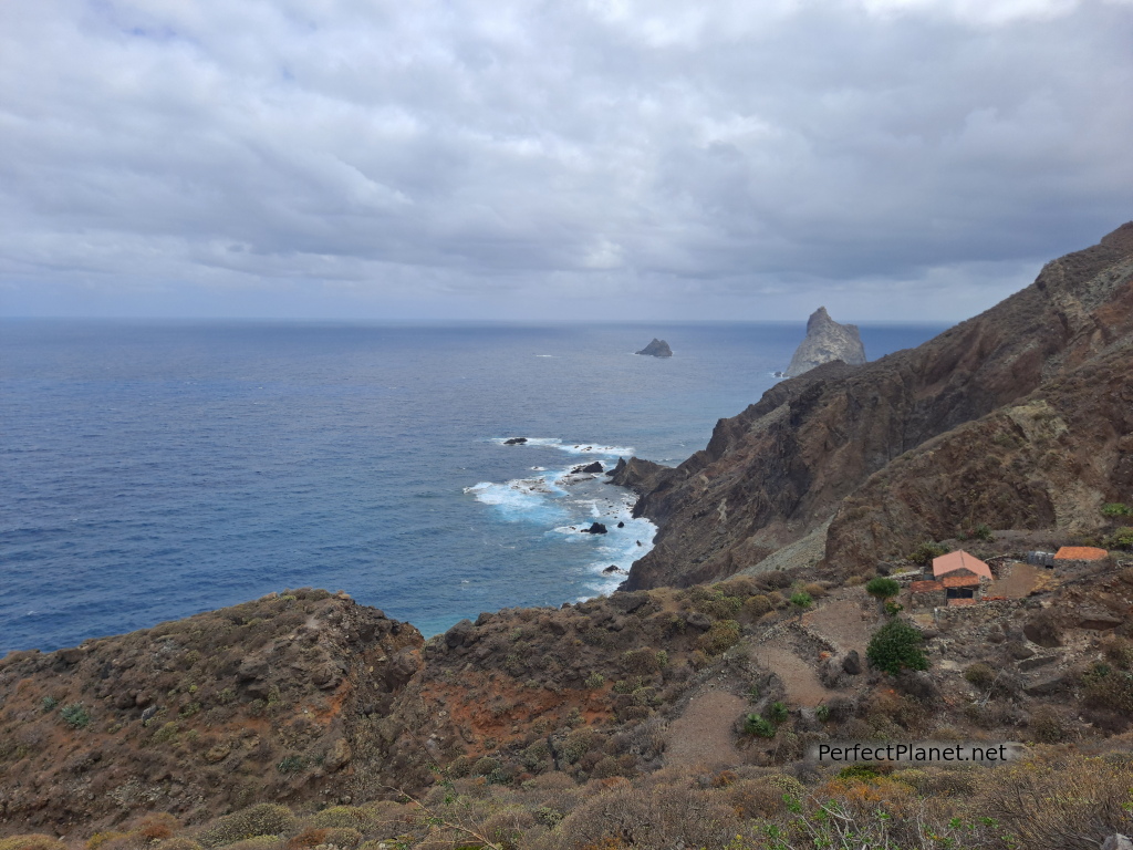
Rocks of Anaga
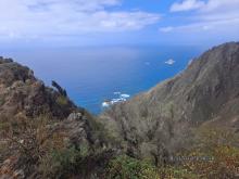
It is a very complete route where we enjoy breathtaking cliffs, rocks and laurisilva.
In Anaga there are dozens of hiking routes for all tastes. Swimming at the beaches is another wonderful option, the beaches of Almáciga and Benijo are excellent.
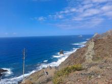
The roques (huge rocks in the sea) wind their way along the cliffy coastline of this part of the park.
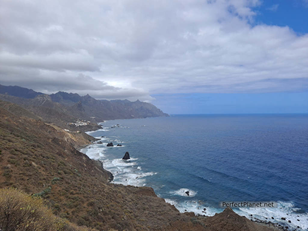
Anaga
How to get there
Take the TF12 road from Las Mercedes to the junction with the TF134 towards Taganana, Almáciga to reach Benijo.
There is little parking in Benijo, so we recommend getting up early.
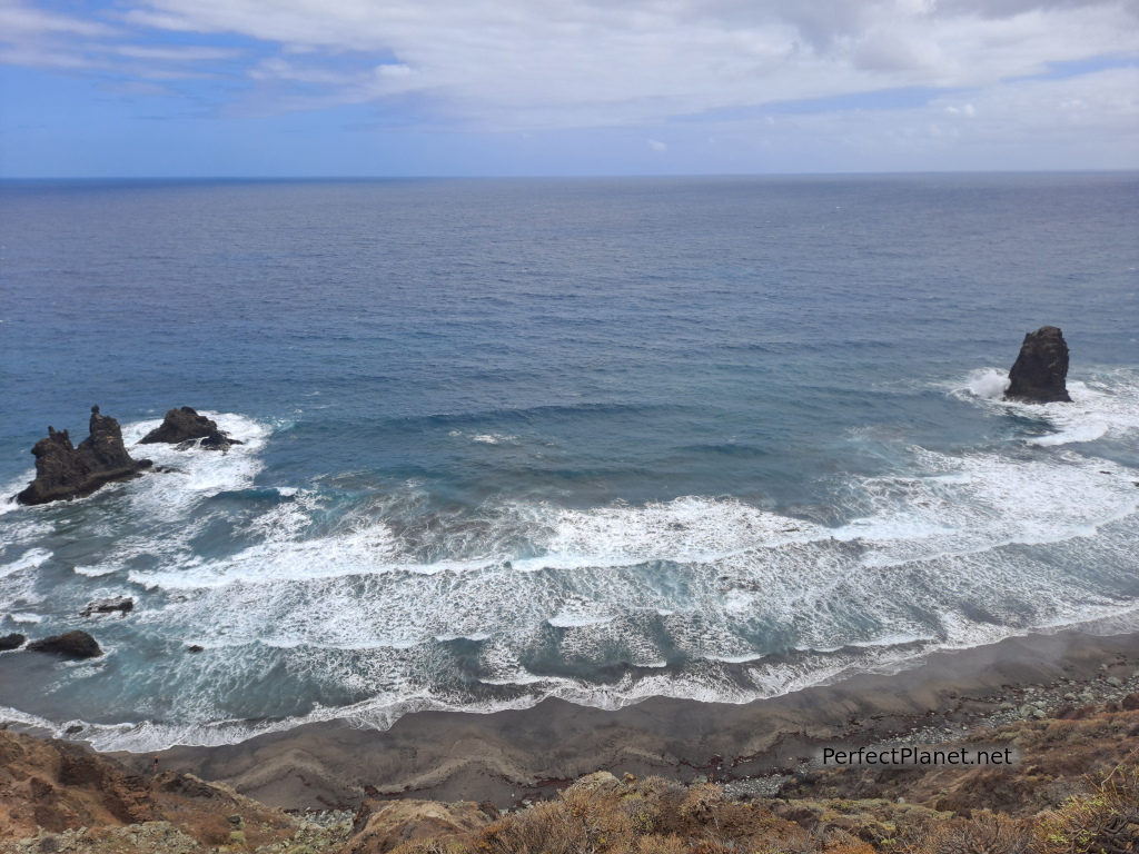
Benijo beach
Description
We start our route from the car park of the Benijo farmhouse. From here we take a wide track parallel to the coast along which we gain altitude until we reach Draguillo.
From Draguillo we continue along the narrower path, which leads to the Hacienda de Anaga, half a kilometre to see the rocks of Anaga.
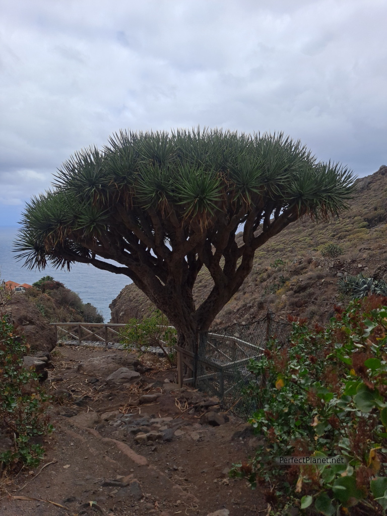
Drago tree
We retrace our steps to take the TF6 path on our left in the direction of Chamorga. We go up the ravine of the dragon trees until we reach the Cruz del Draguillo.
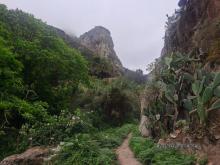
From this point the path turns into a spectacular laurisilva forest that takes us to a hill where we descend to Chamorga following the Roque Bermejo ravine.
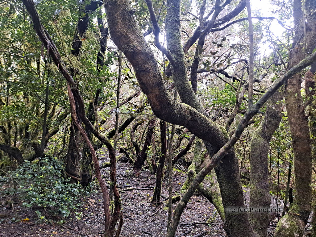
Laurisilva
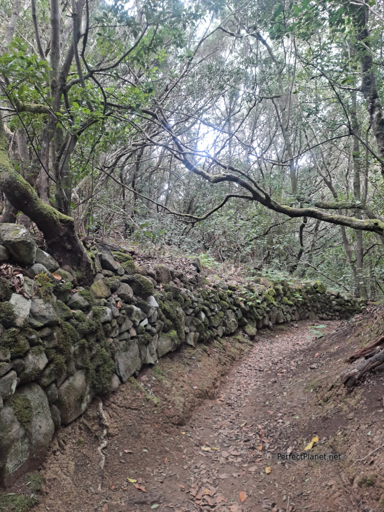
Path
Chamorga is a small town in Tenerife surrounded by rocks where we have lunch. Its small church stands out next to the road.
We return again to the Cruz del Draguillo but at the crossroads to Draguillo we continue straight on towards Benijo.
The views of the cliffs are brutal. The path is well marked until you reach Benijo.
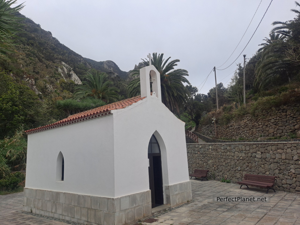
Chamorga
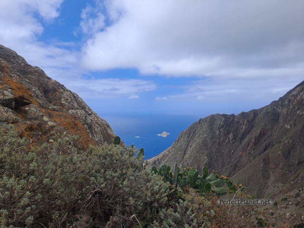
Cliffs
Next to Benijo you can visit the beach of Almáciga and its roque de las Bodegas, a good place for surfing.
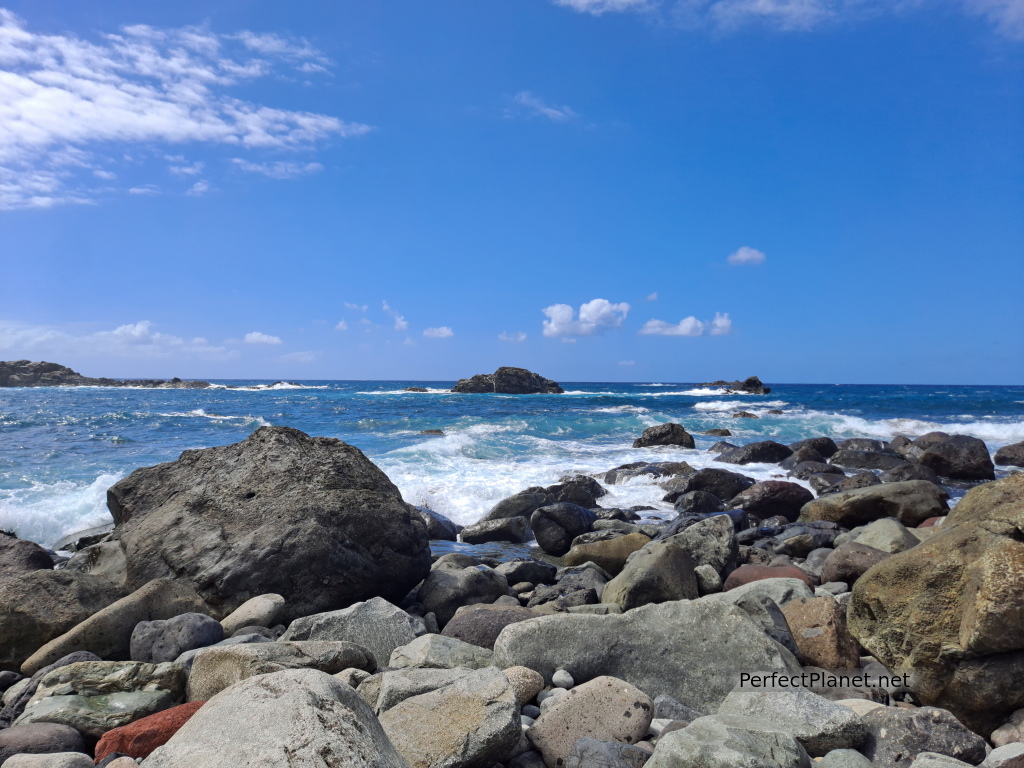
Almáciga
Distance: 9 kilometres
Difference in altitude 900 metres
Circular route
Whoever makes full or partial use of this track and its additional information, assumes full responsibility for the risks inherent in the practice of the activity, this information is for guidance purposes only.
Map
Map
- Log in to post comments

