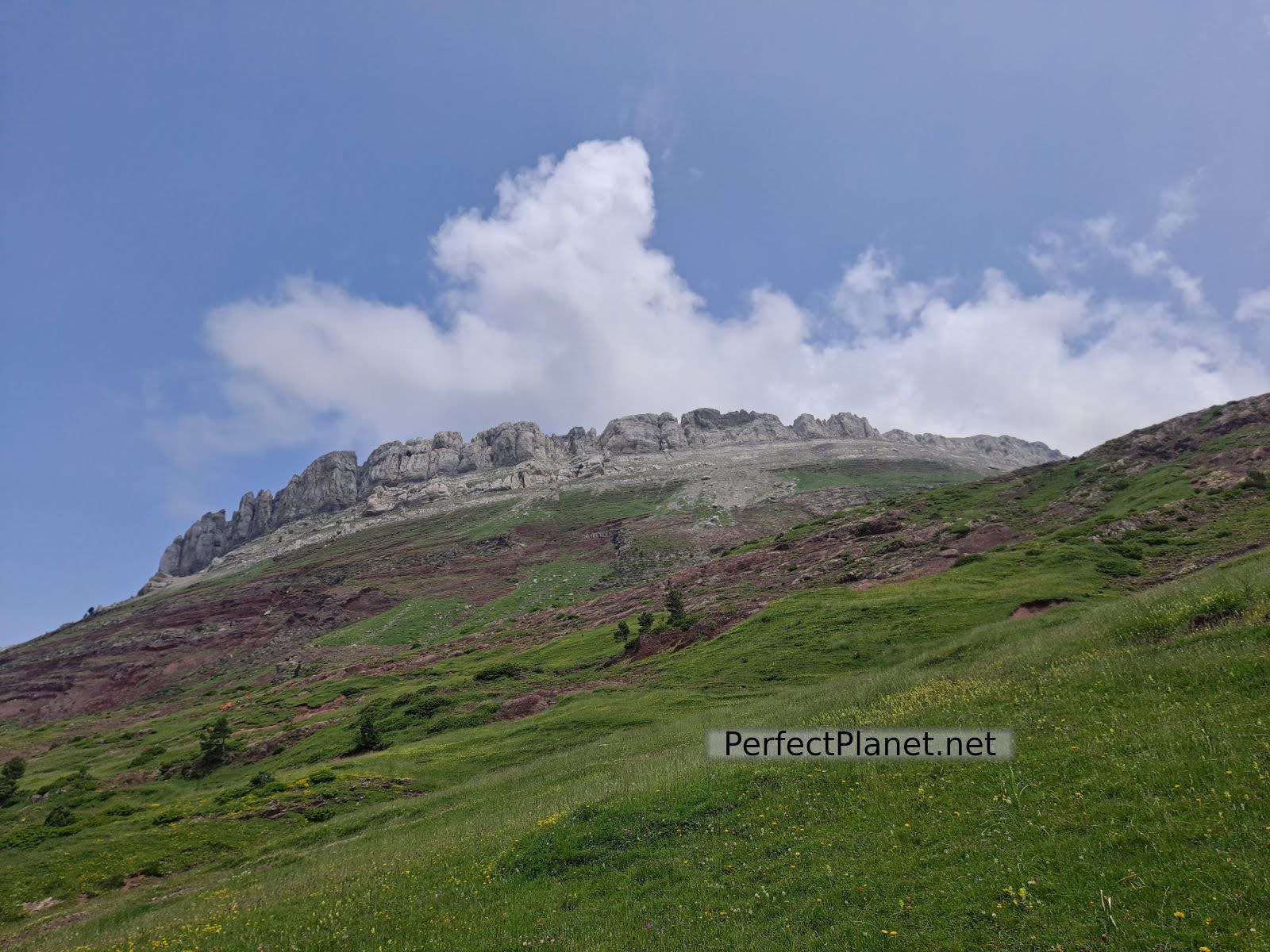
One of the most emblematic mountains in the Selva de Oza is the Castle of Acher (2,384 metres).
Castle of Acher
Its beautiful fortress-like shape seems impregnable, but with a little effort you can reach the top without any problems.
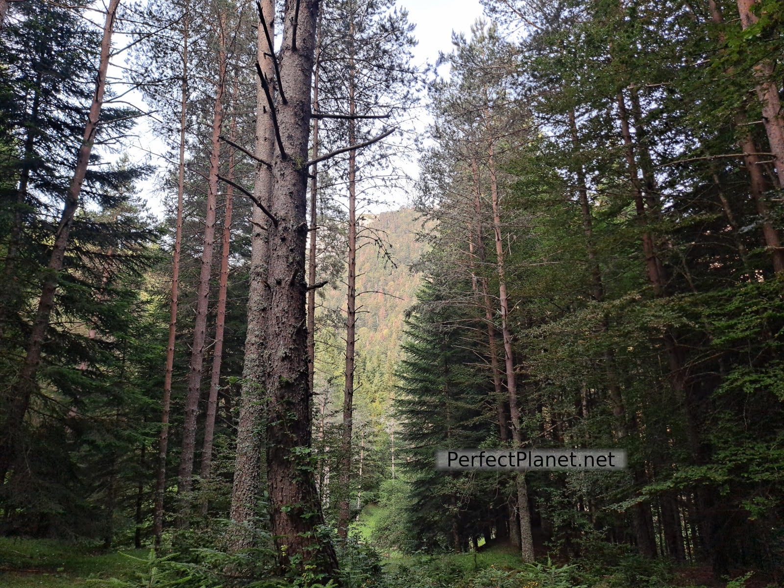
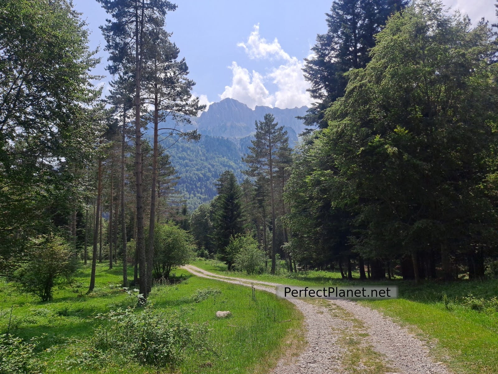
Selva de Oza
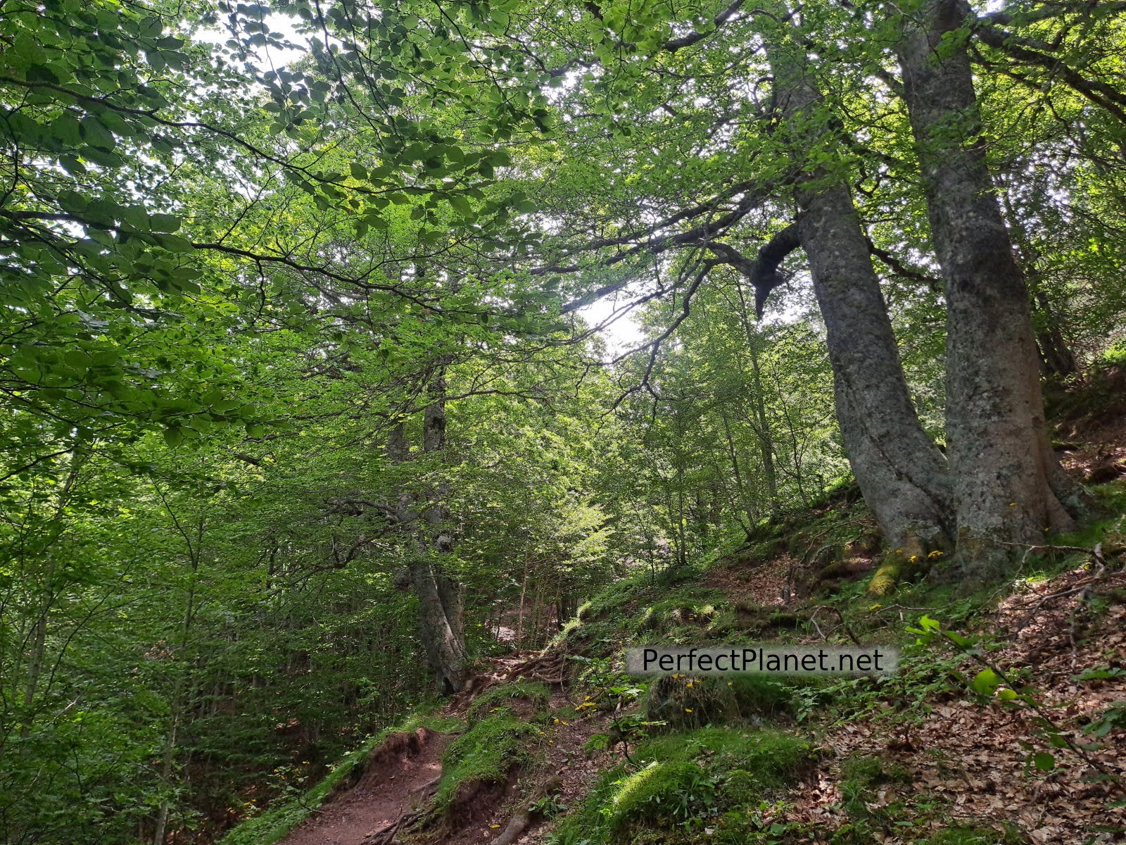
We start our route from the Selva de Oza car park following the GR11.1 markings. For the first few kilometres we cross the beautiful beech forest as we gain altitude.
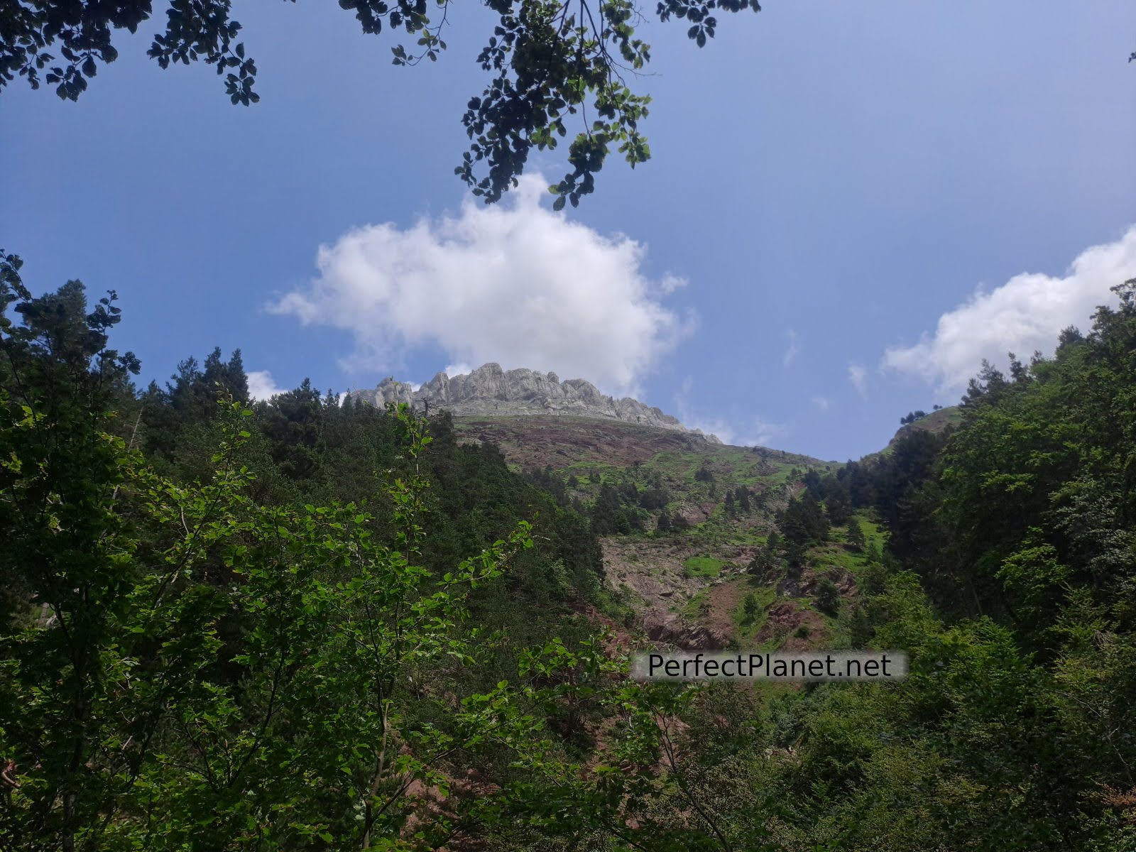
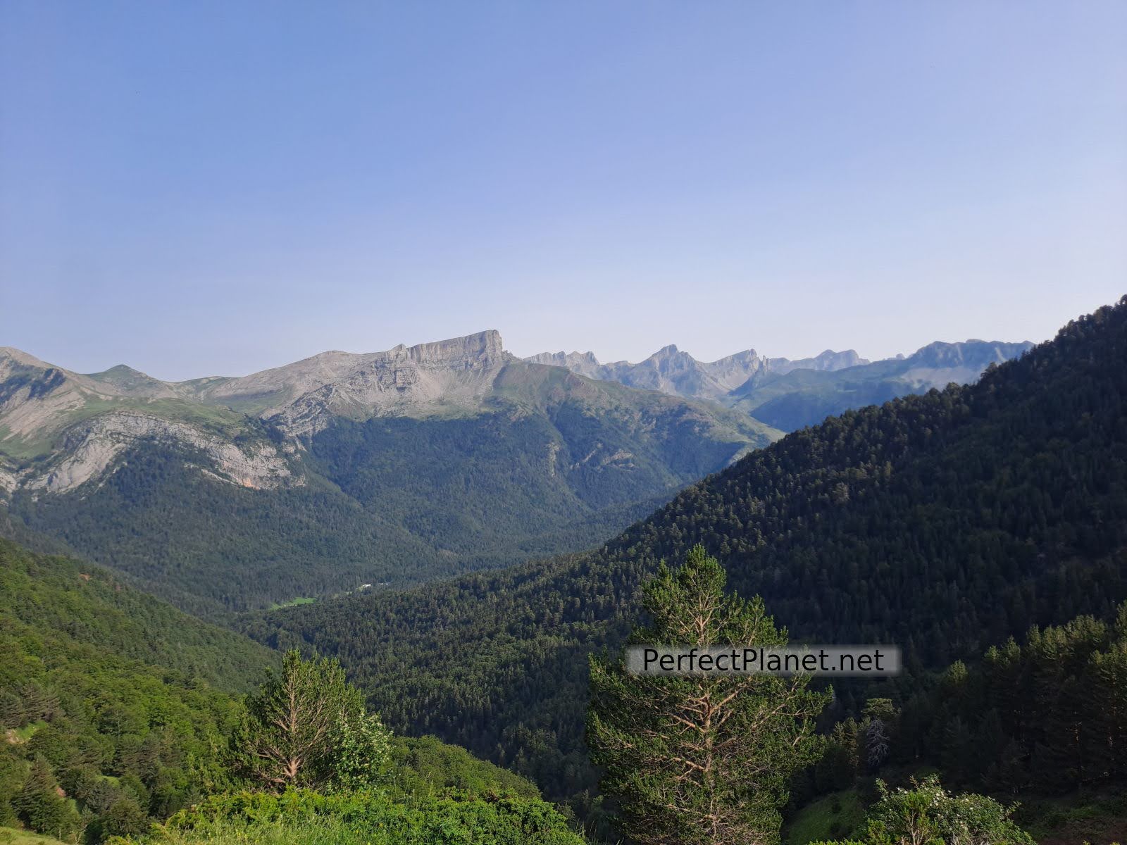
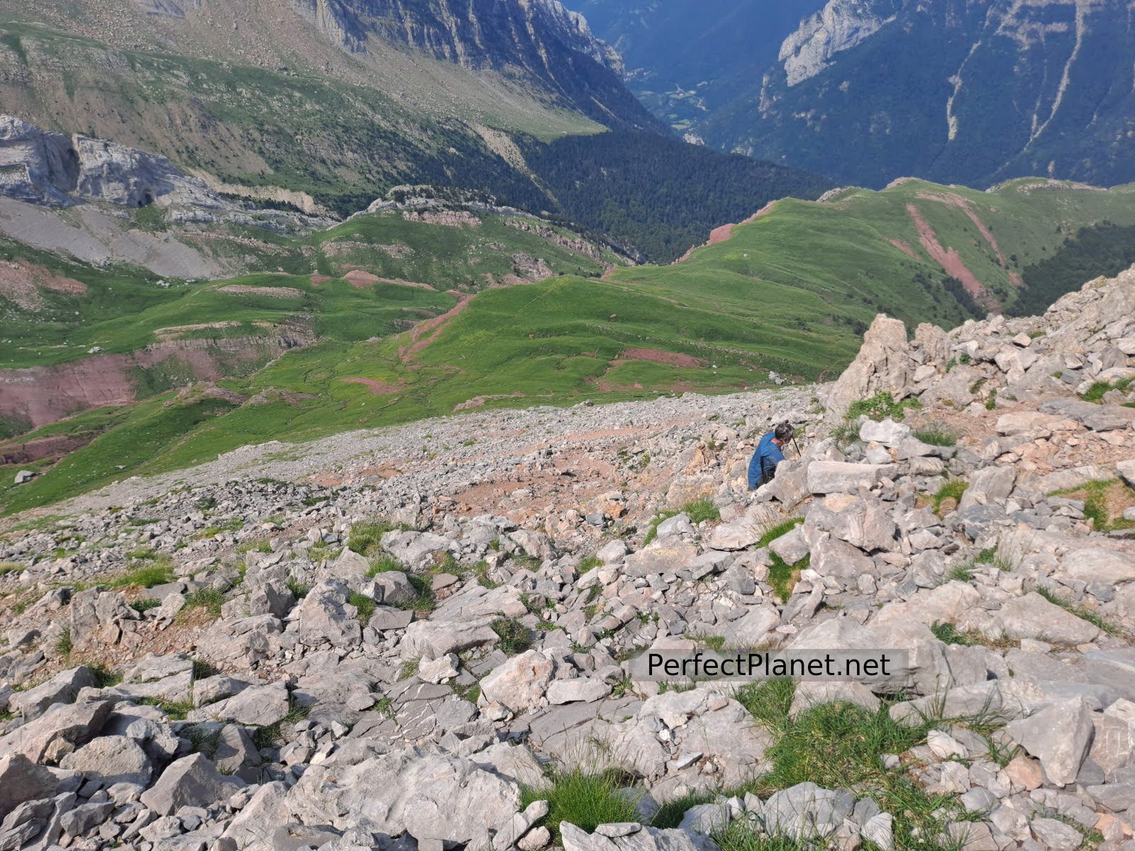
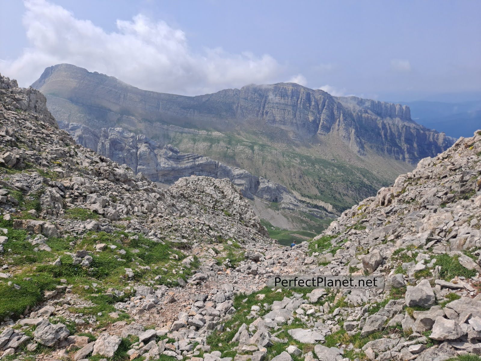
As we leave the forest we can clearly see our objective. The next stretch runs through a grassy area with a well signposted path until you reach the base of the castle from where you start to zig-zag through some fairly uneven terrain as you look for the path through the gap where you enter the fortress. There are some stretches where you have to use your hands, but it is not technically difficult.
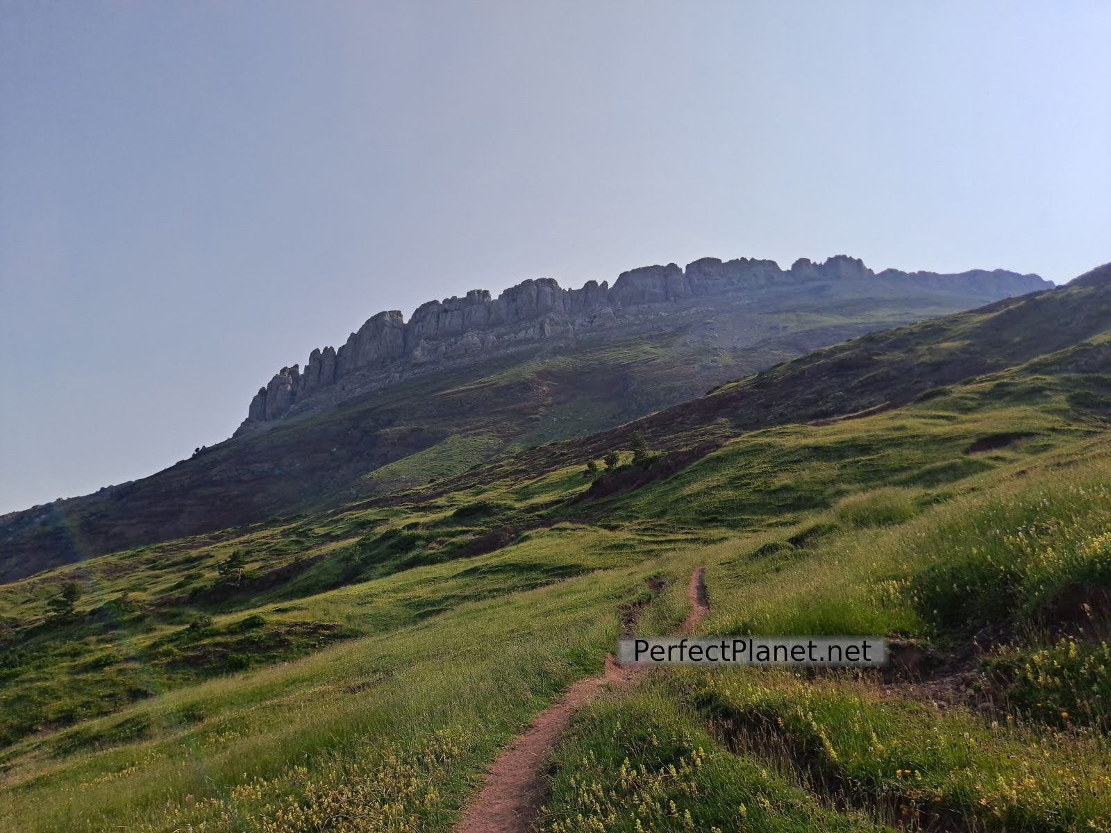
Castillo de Acher
Castillo de Acher
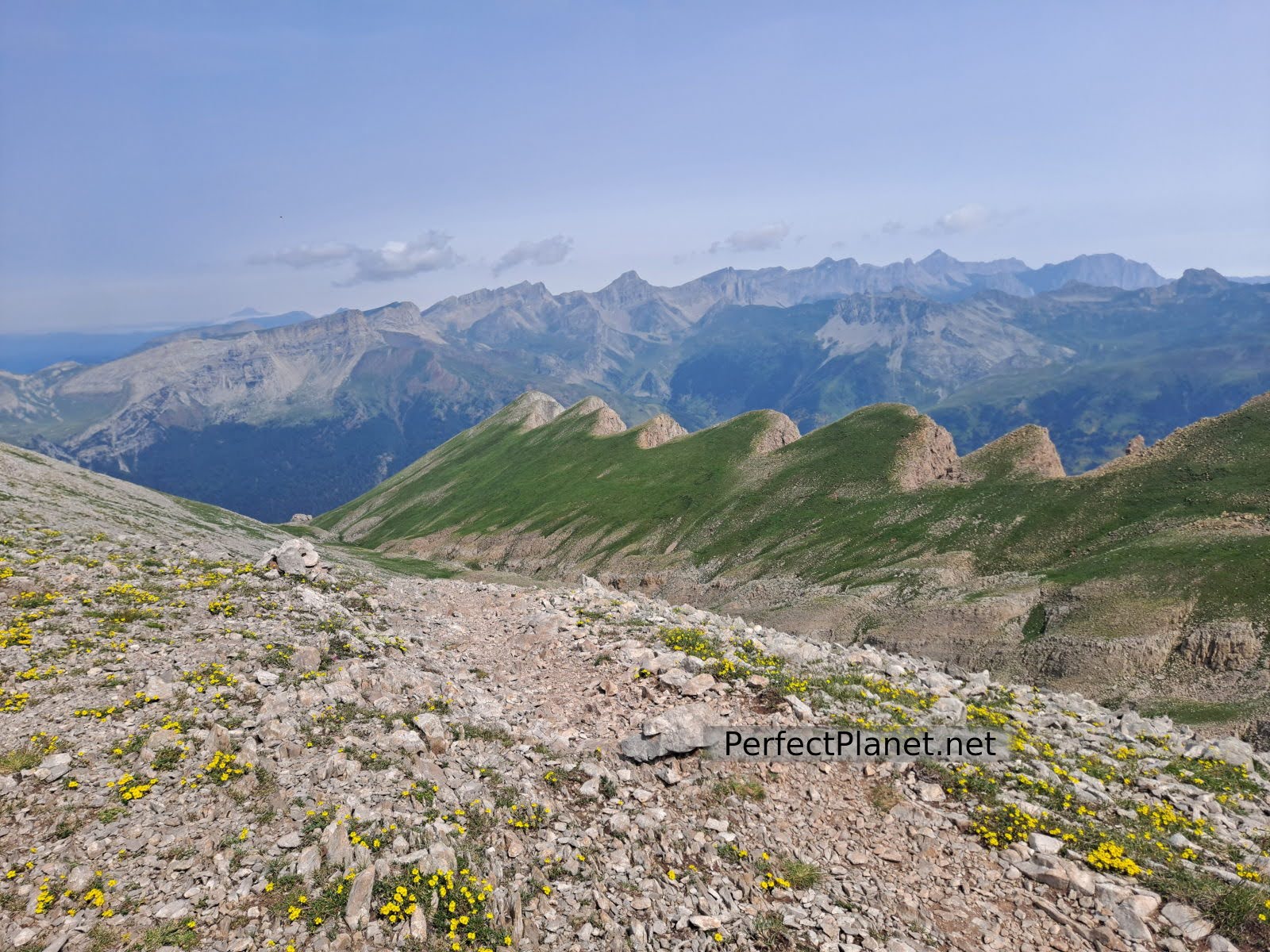
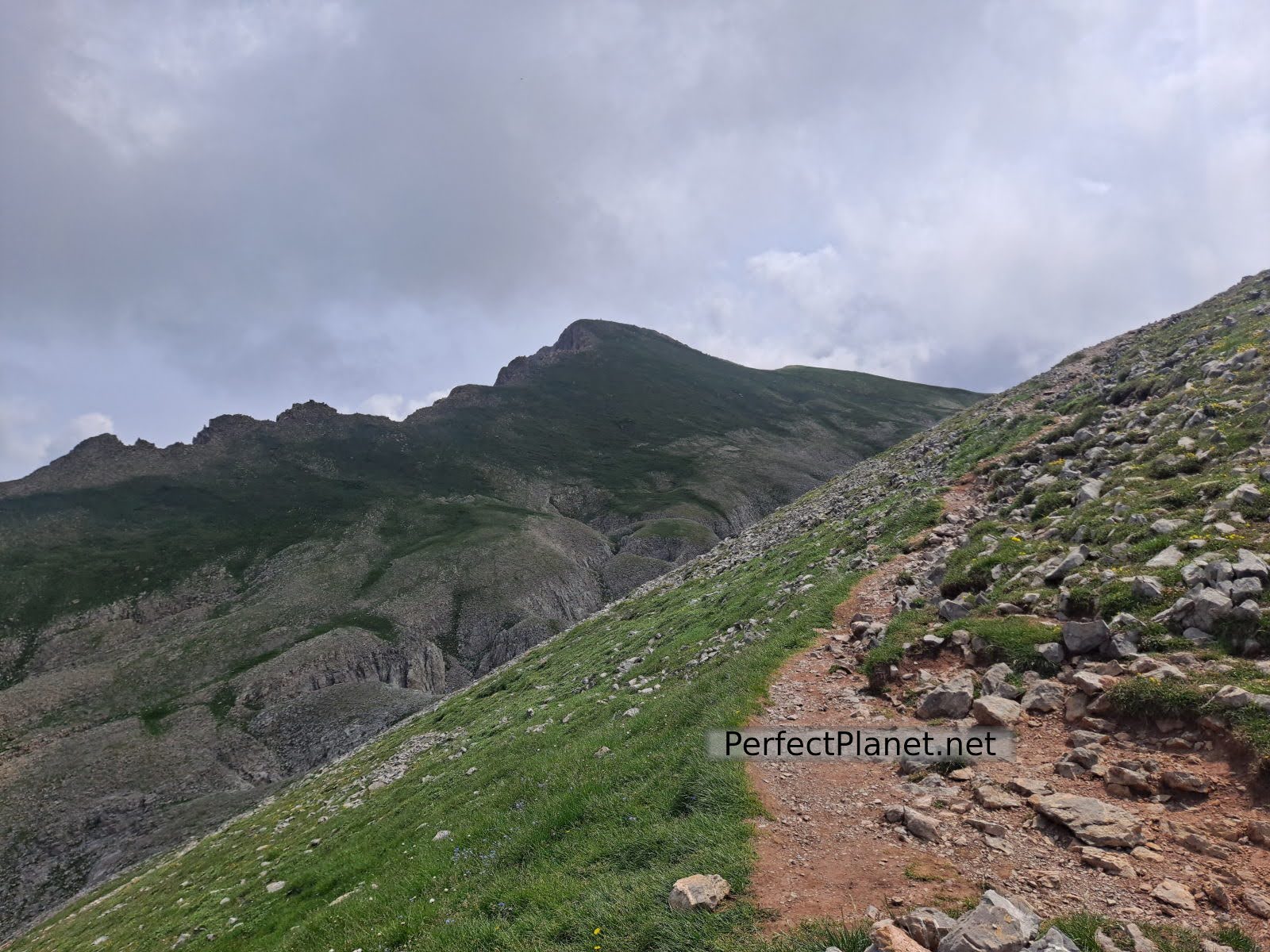
Once at the top there is barely a kilometre to go to the top on much more comfortable terrain.
Castillo de Acher inside the fortress
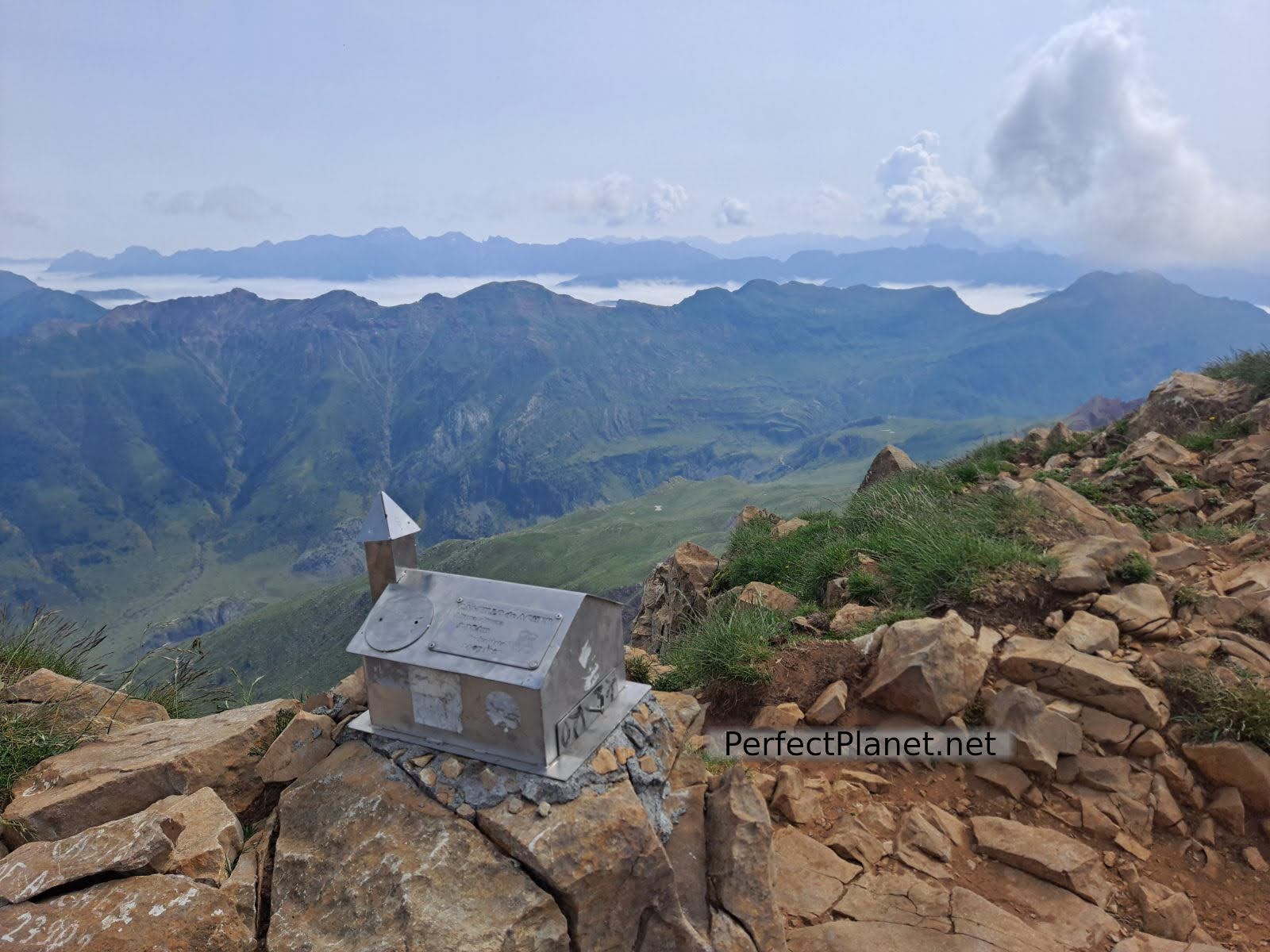
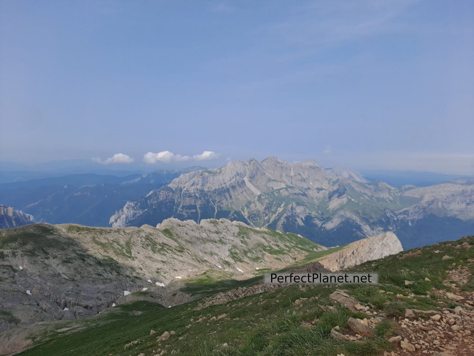
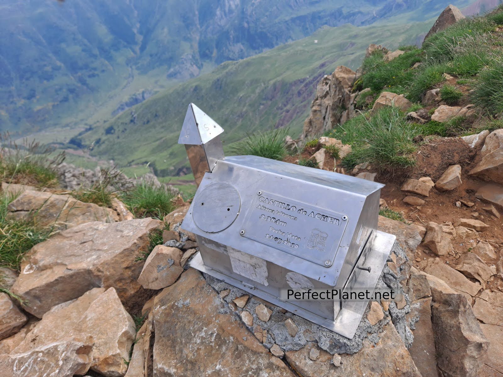
At the summit the views are spectacular, Bisaurín, Midi D'Ossau, Anayet, Mesa de los Tres Reyes, Acherito and Anie, among others.
Gap
Castillo de Acher
We return along the same path. To go down the first stretch of the gap you have to be a little careful as there is a lot of loose rock and you may hit someone passing underneath.

Summit

Castillo de Acher
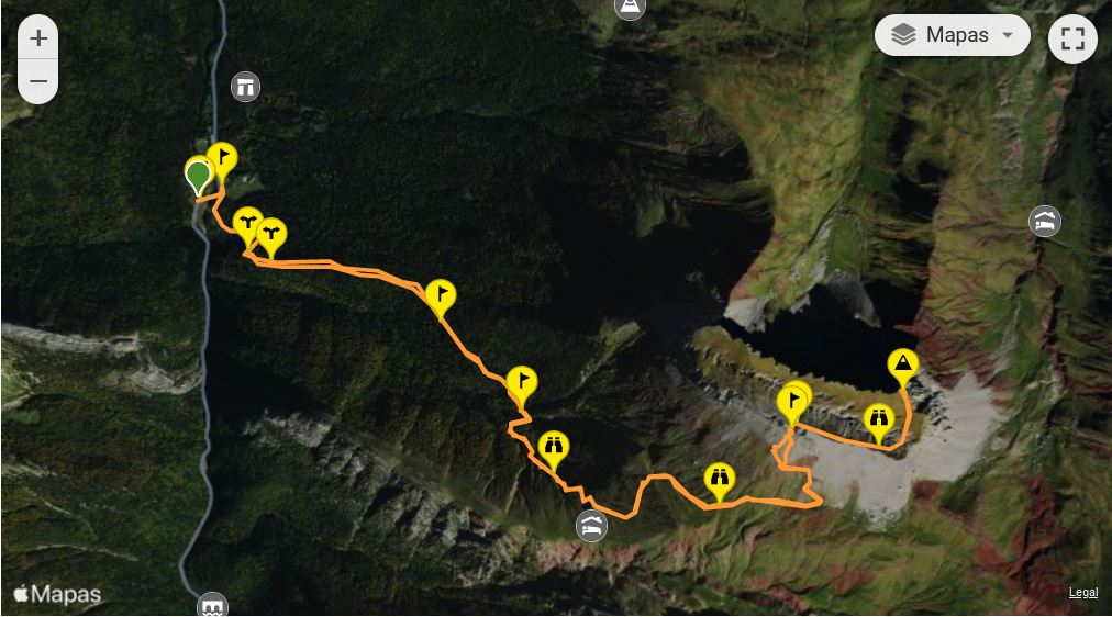
Route: linear
Distance: 13 kilometres
Elevation gain: 1,200 metres
Track on Wikiloc
Difficulty: moderate
Tips: if you do this route in summer remember that there is no shade or water along the whole route, so you should always be protected with sun cream and carry enough water. If you do the winter variant remember to bring full equipment, ice axe and crampons.
Whoever makes full or partial use of this track and its additional information, assumes full responsibility for the risks inherent in the practice of the activity, this information is for guidance purposes only.
Map
Te podría interesar
- Log in to post comments