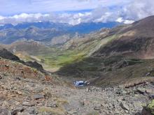
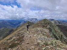
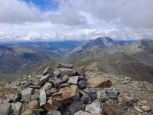
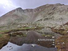
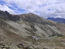
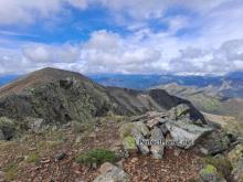
At 2,457 metres high, the Cuartas peak offers panoramic views of the main peaks of the Palentina Mountain and Europe Peaks.
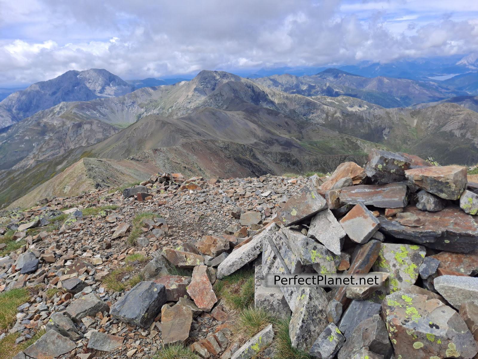
Cuartas peak
This beautiful route that we propose in the heart of the Montaña Palentina has no technical difficulties, a place where you can enjoy nature in its purest form.
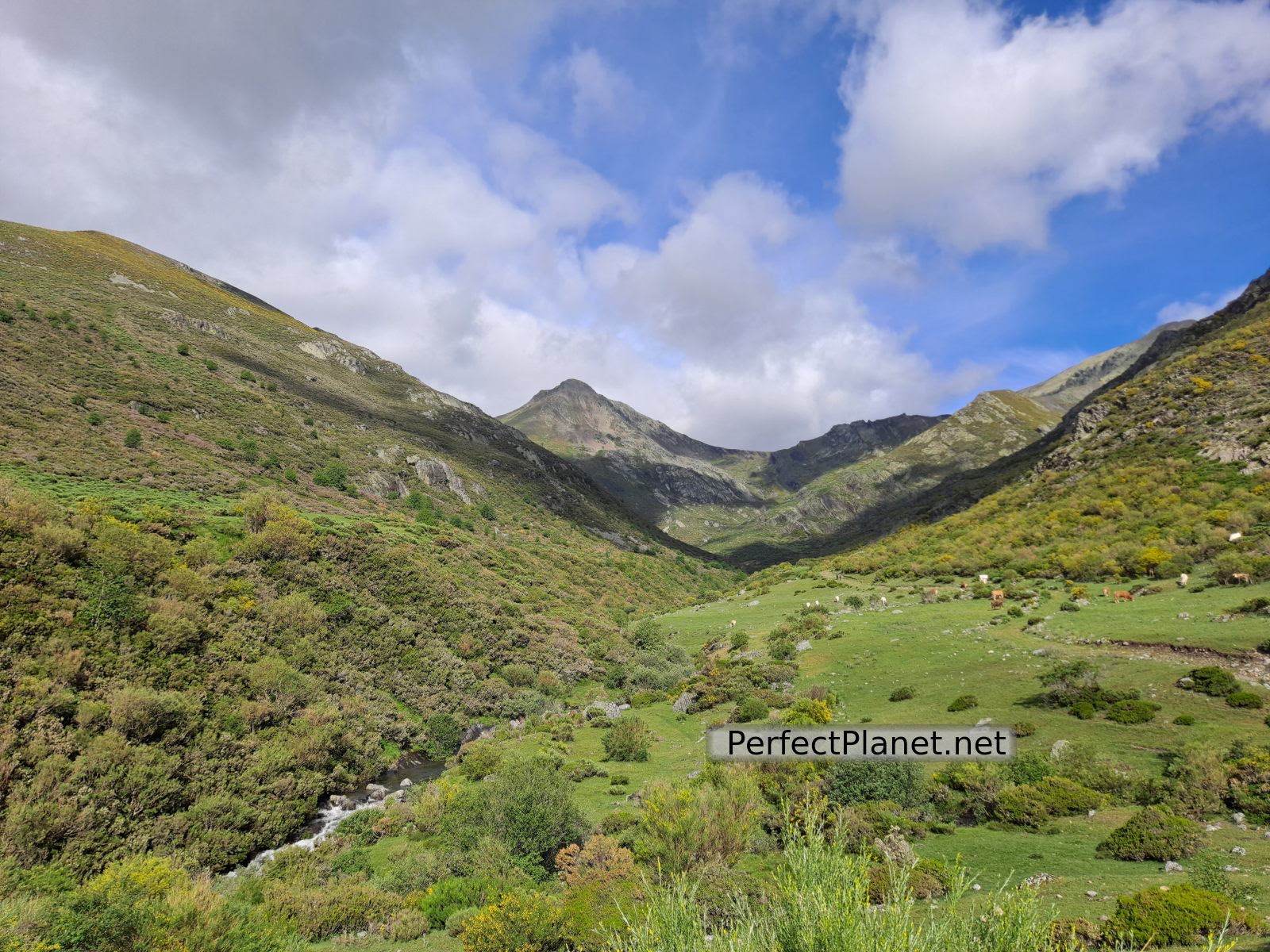
Palentina Mountain
How to get there
To start our route we leave the car in the Palencia town of Cardaño de Arriba following the P 217 road.
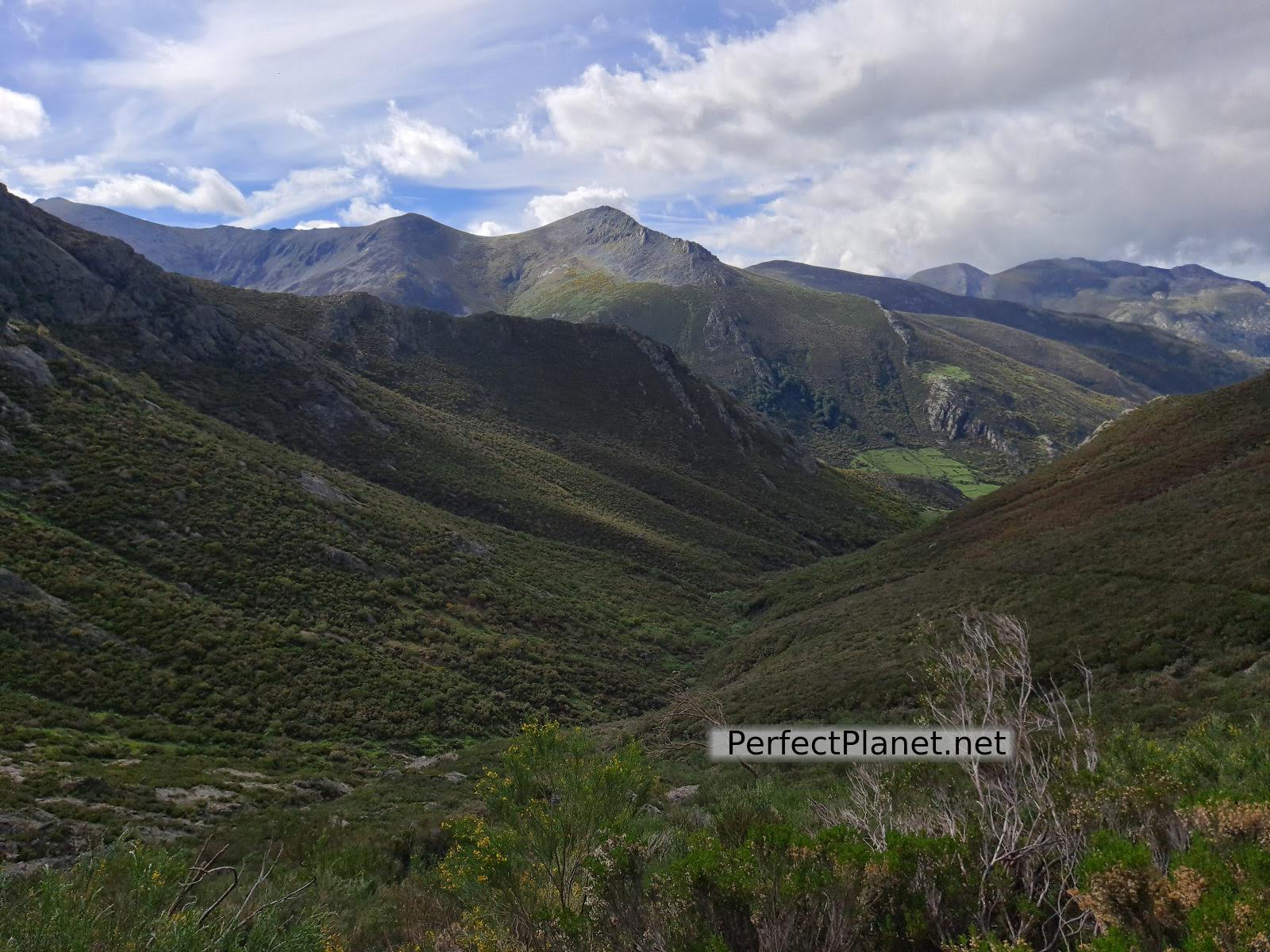
Hontanillas stream gully
We start our route from the Cardaño de Arriba car park, following the signs to Pozo Lomas.
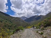
We walk along a track that runs along the left bank of the Lomas stream. Following this path we reach the Valcabe stream, where we find a bridge and a small waterfall. Crossing the bridge the track divides in two, to the left the route to Pico Murcia and to the right to Pozo Lomas. We will follow the first one, continuing the path towards Pico Murcia for a couple of hundred metres until we reach a path marked with milestones and red marks on our right.
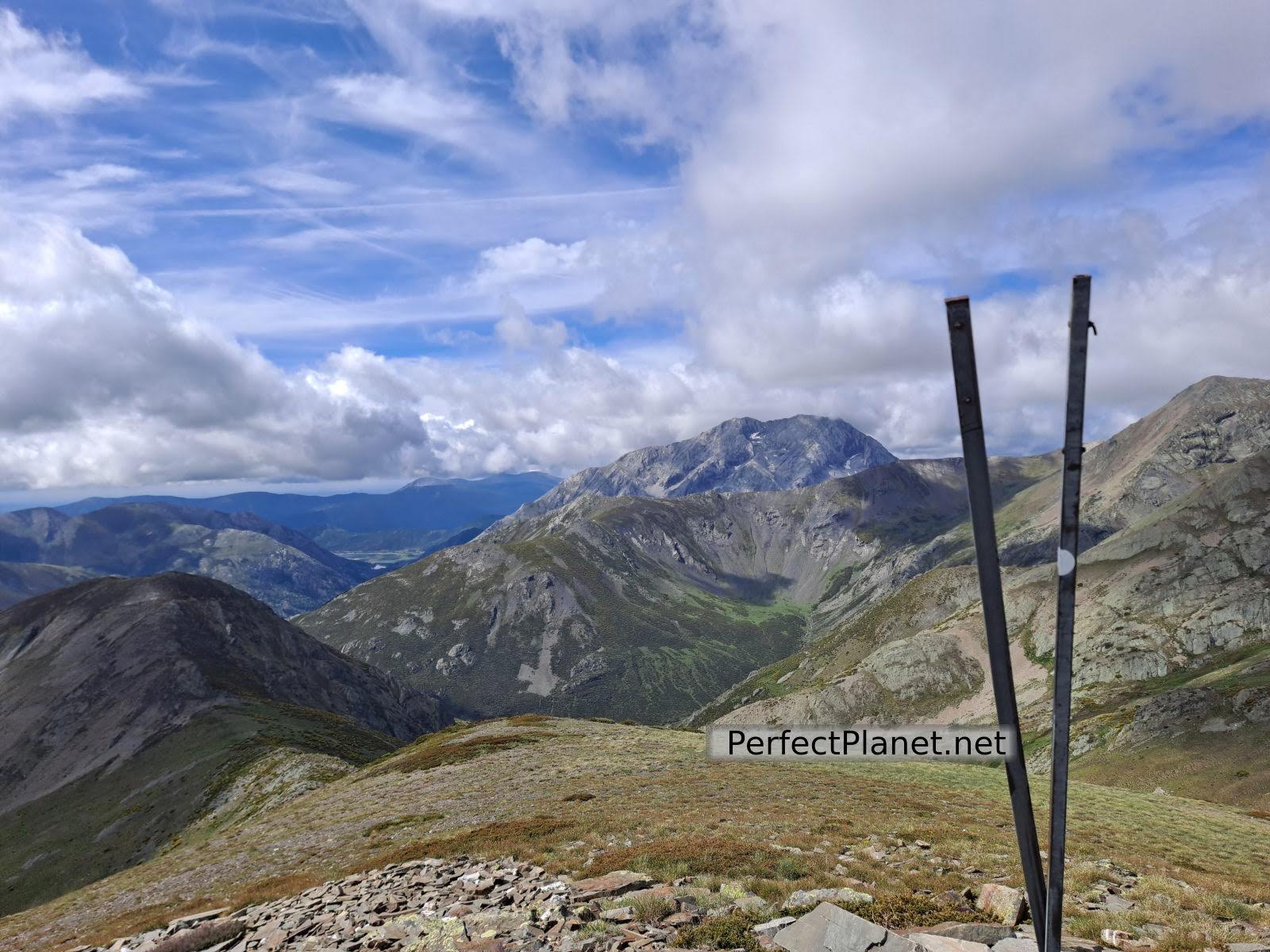
Views of the Espigüete
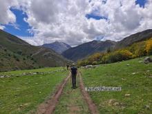
The path starts in a meadow where the first thing we see is a cairn, from here the path starts to be well marked. There is no way to get lost, the path runs parallel to the course of the Hontanillas stream, although it gains altitude until it reaches the Hontanillas pass.
From the pass there are spectacular views of Espigüete, Murcia and Peñas Malas.
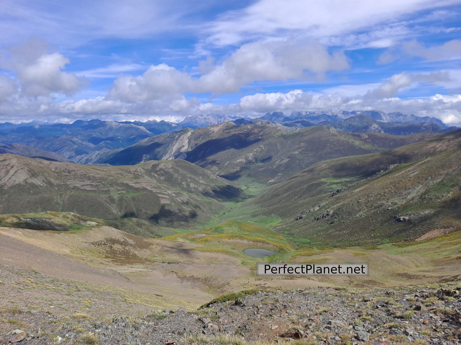
Palentina Mountain
We continue walking along the pass in an easterly direction towards the cerro Frontino, Guadañas peak and Cebolleda peak. The path is comfortable and quite wide.
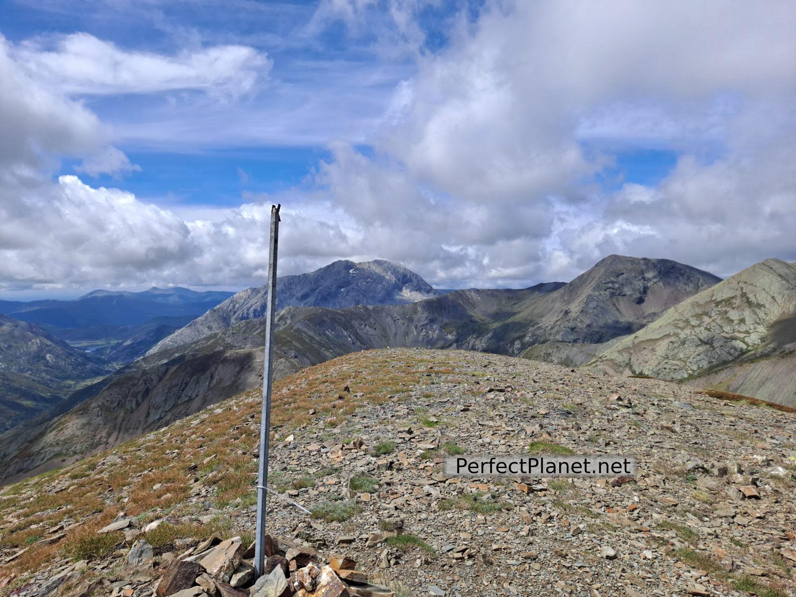
Views of Pico Murcia and Peñas Malas
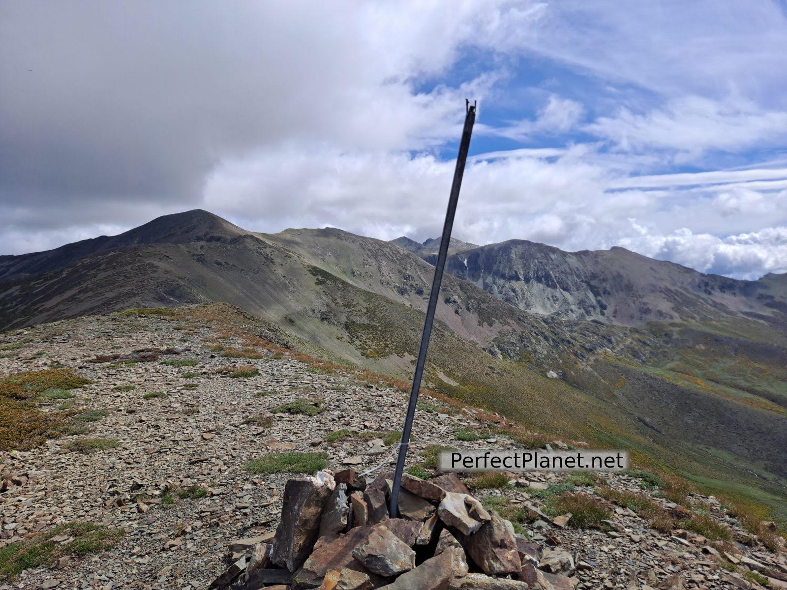
Guadañas peak
Shortly before reaching the Cuartas on our left we can enjoy wonderful views of the Hoyos de Vargas lagoons in the Alto de la Hoya Pedro Miguel.
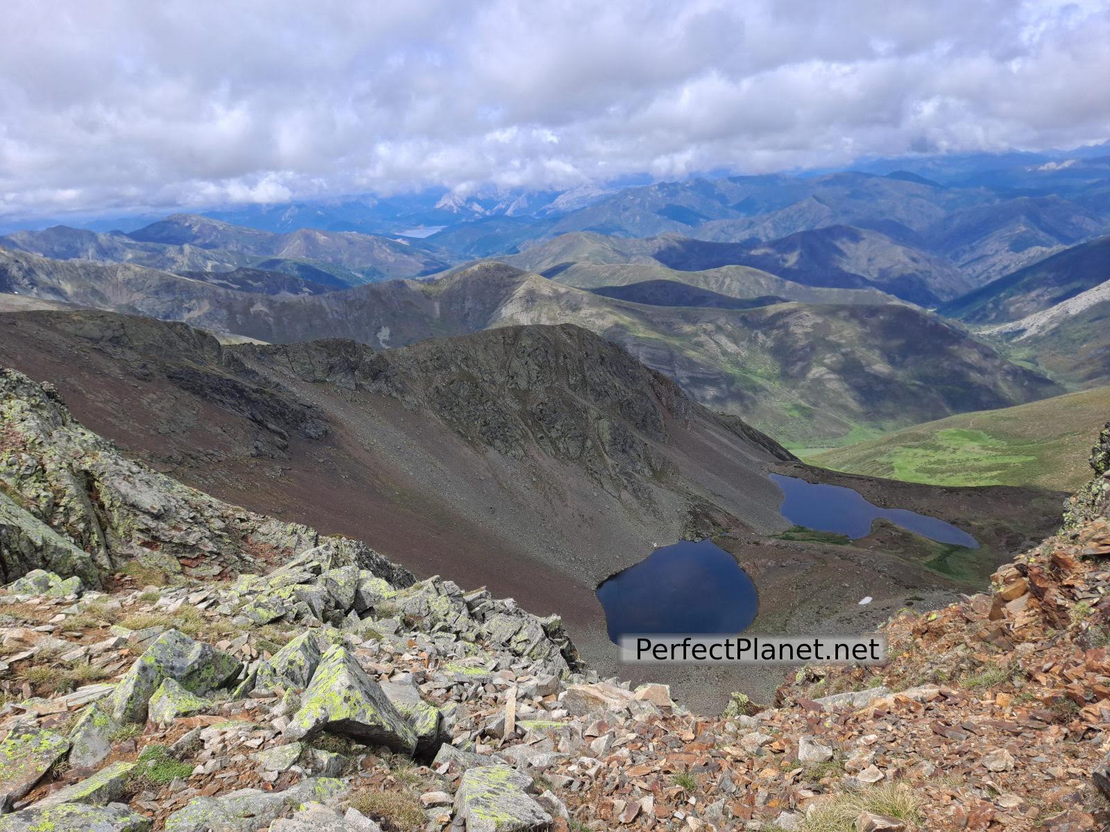
Hoyos de Vargas lagoons
From here a few metres separate us from our first objective. The views from Cuartas peak are unbeatable, 360 degrees with views of the main peaks of Palentina Mountain, Espigüete, Curavacas and/or Peña Prieta and of Picos de Europa, Llambrión, Torrecerredo and Peña Santa among others.
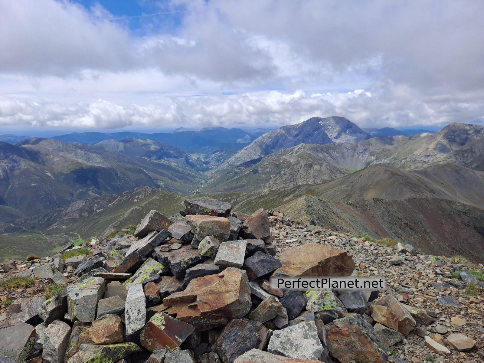
Cuartas peak
We continue walking until we reach Lomas peak at 2,443 metres. We descend following the marked milestones to the Charca de los Buitres (Vultures' pond), which pours its waters into the Pozo Lomas well at the foot of the impressive Agujas de Cardaño.
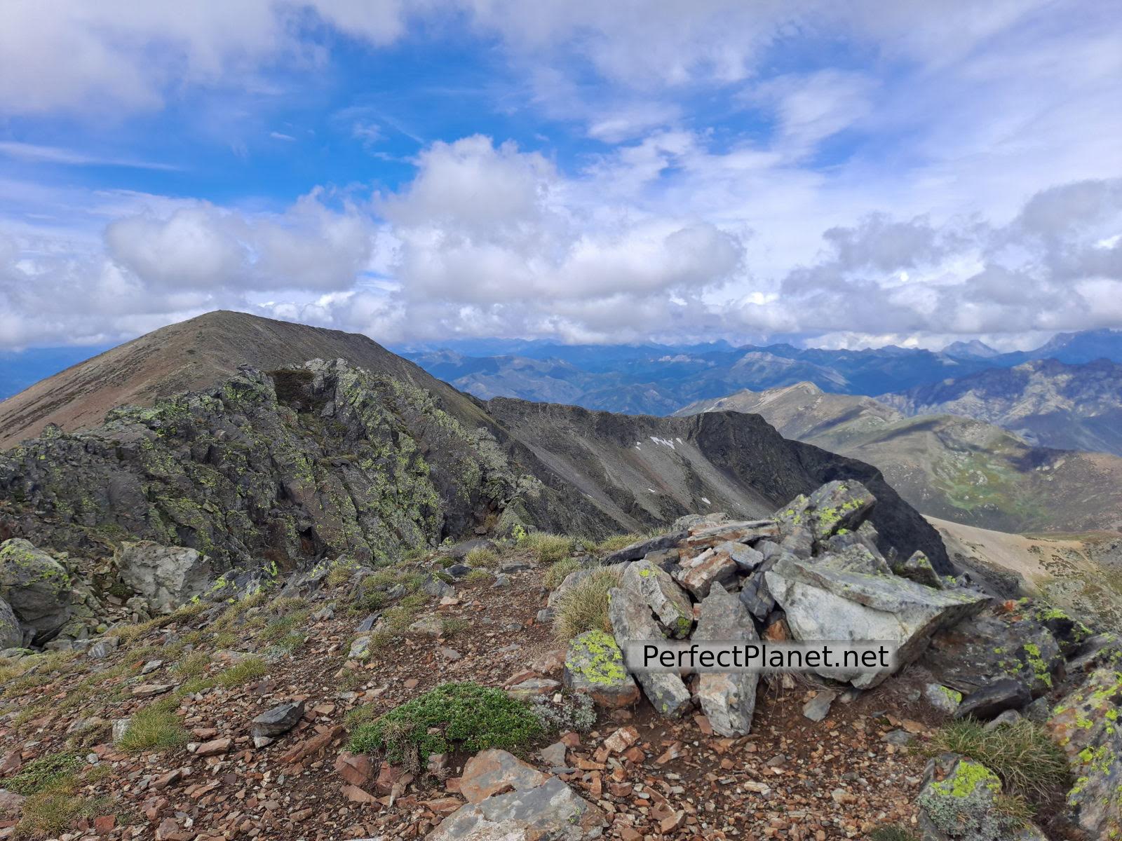
Lomas peak
From here we continue our descent along the enabled path of Pozo Lomas until we return to Cardaño de Arriba.
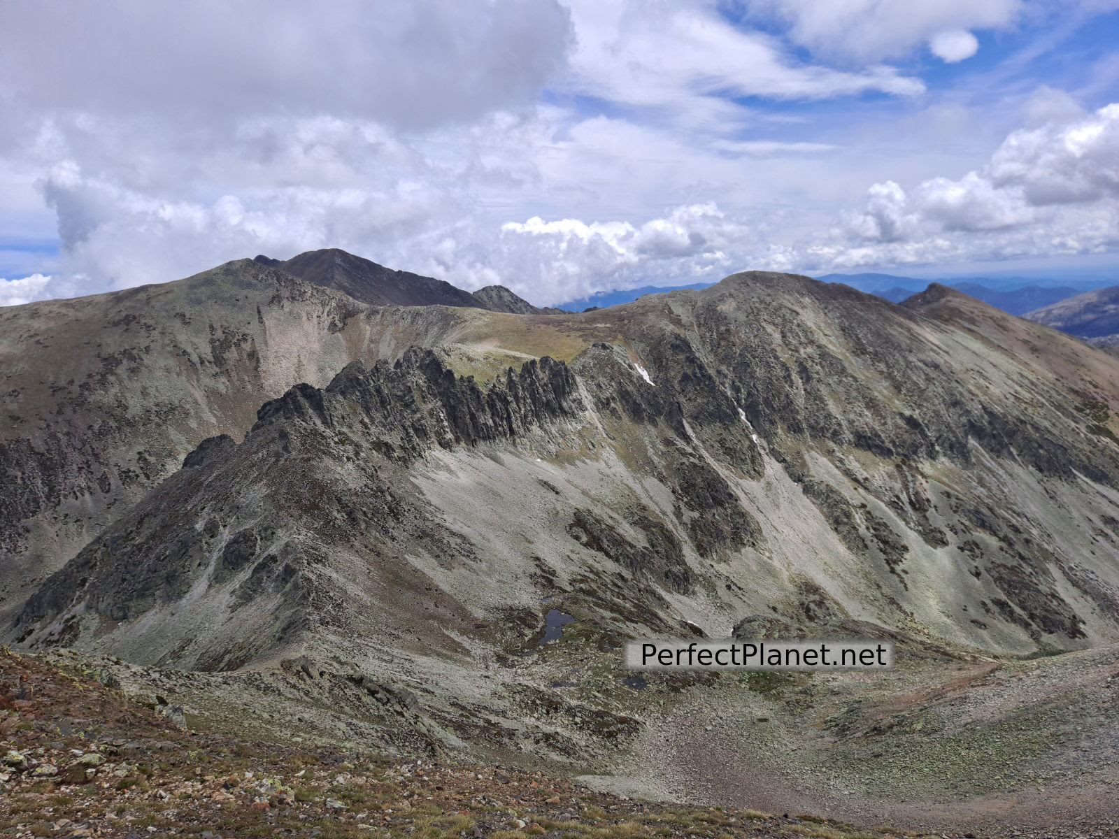
Cardaño Needles
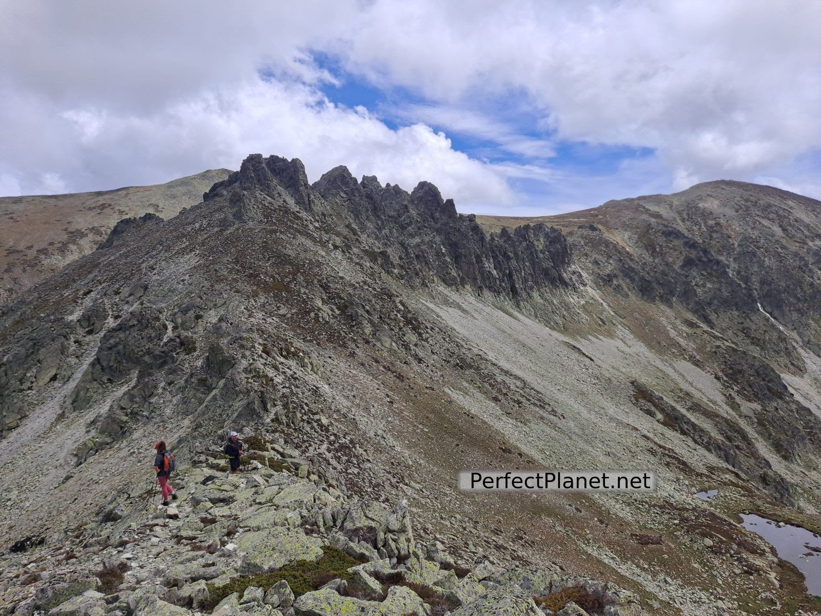
Cardaño Needles
This route has been done in spring, with streams full of water and green meadows full of flowers. Remember to bring enough water as there is no shade along the route.
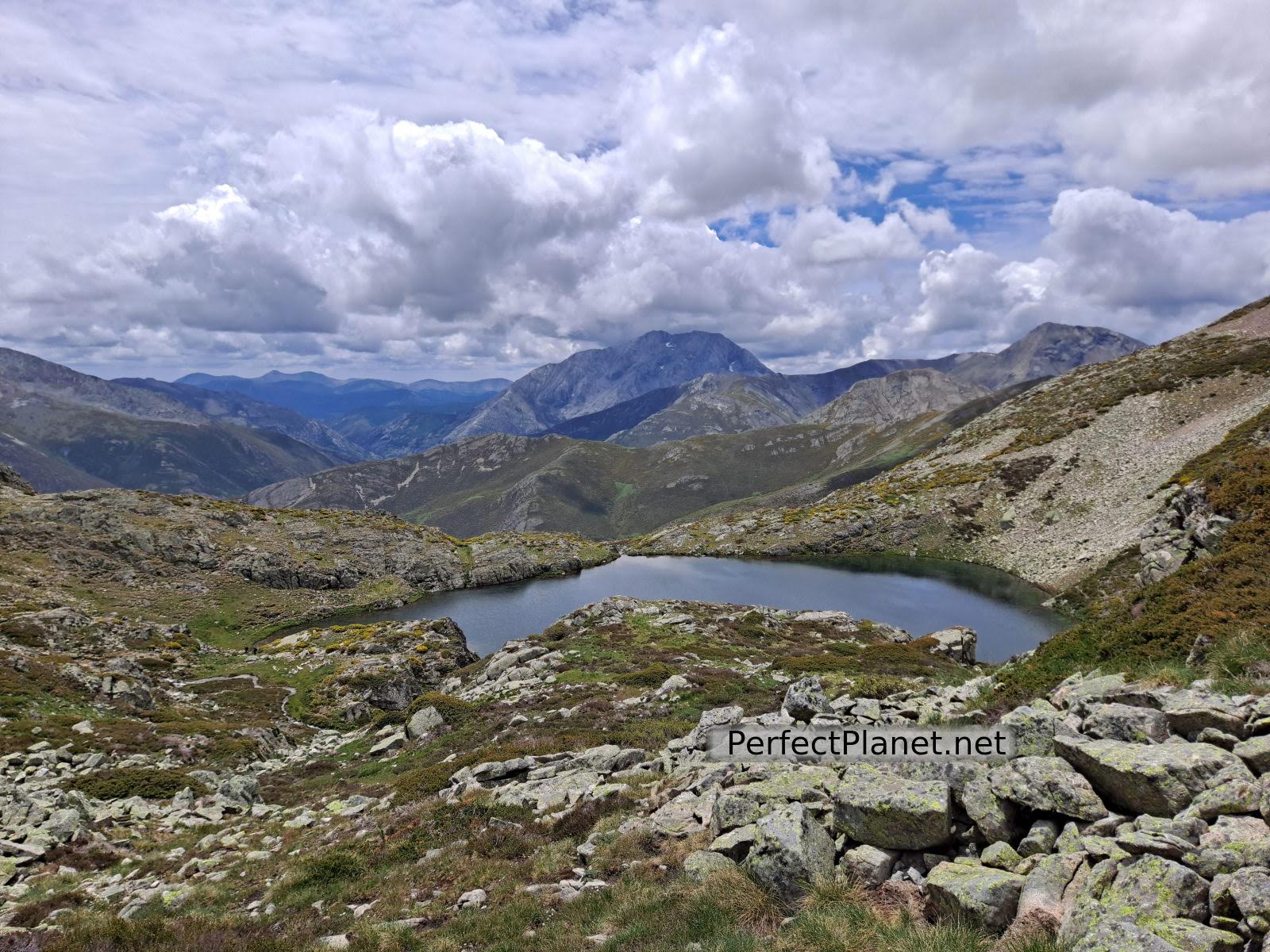
Lomas well
Route: circular
Distance: 16 kilometres
Elevation gain: 1,200 metres
Track on Wikiloc
Difficulty: medium
Tips: if you do this route in summer remember that there is no shade along the whole route so you should always be protected with sun cream and carry enough water. If you do the winter variant remember to bring full equipment, ice axe and crampons.
Whoever makes full or partial use of this track and its additional information, assumes full responsibility for the risks inherent in the practice of the activity, this information is for guidance purposes only.
Map
You may be interested in
Mazobre waterfall
Murcia peak
Peña Tejo
- Log in to post comments

