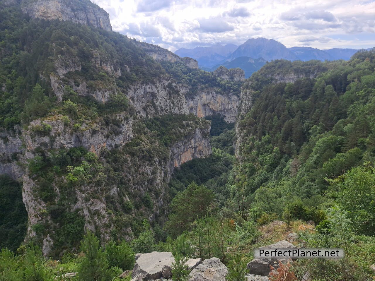
This natural area is one of the least known of the Ordesa and Monte Perdido Natural Park.
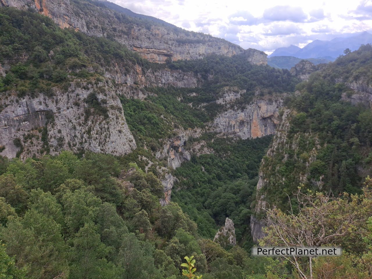
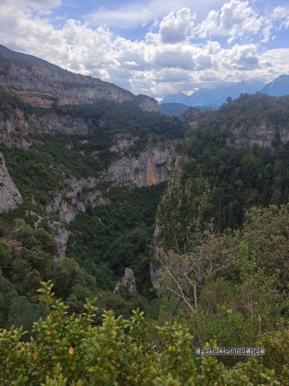
Escuaín Gorge
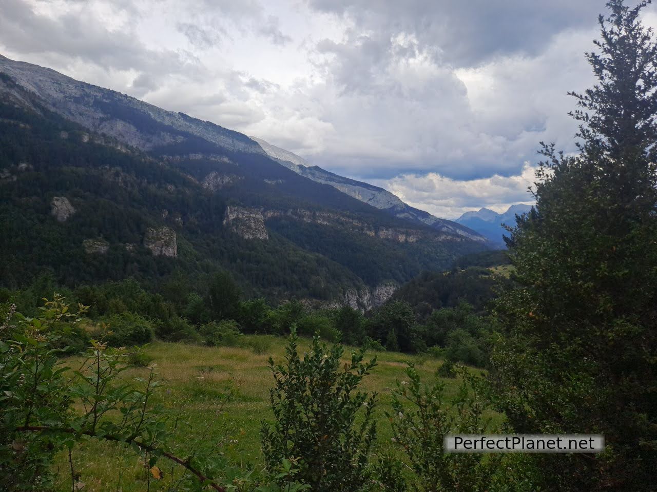
From Escalona we take the HU631 road to the crossroads marked Belsierre on the right. The road narrows as we get closer to our destination but the scenery is breathtaking. Halfway up from the Castillo Mayor car park there are impressive views of Monte Perdido (if the clouds let us).
Escuaín is a small high mountain village that still preserves its traditional architecture. Surrounded by forest and the steep canyon of the river Yaga, it is an ideal place for bird watching.
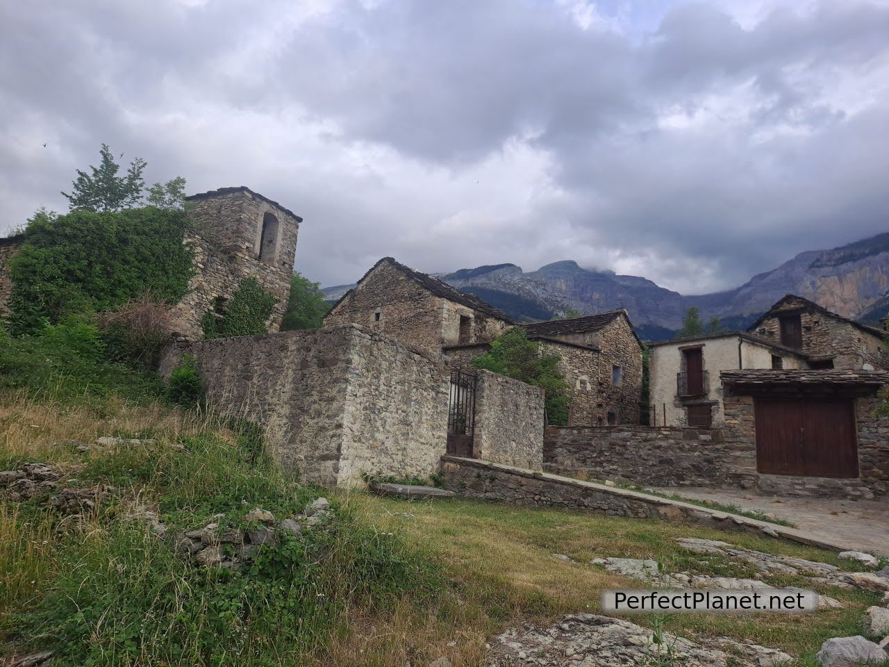
Escuaín
There are several routes that can be done from here, such as going down to the pools of the river Yaga or the route of the viewpoints (30 minutes). There is a visitor information office where you can get information on everything you can do in the area. We decided to do the circular route through the Cazcarra Belt.
Escuaín
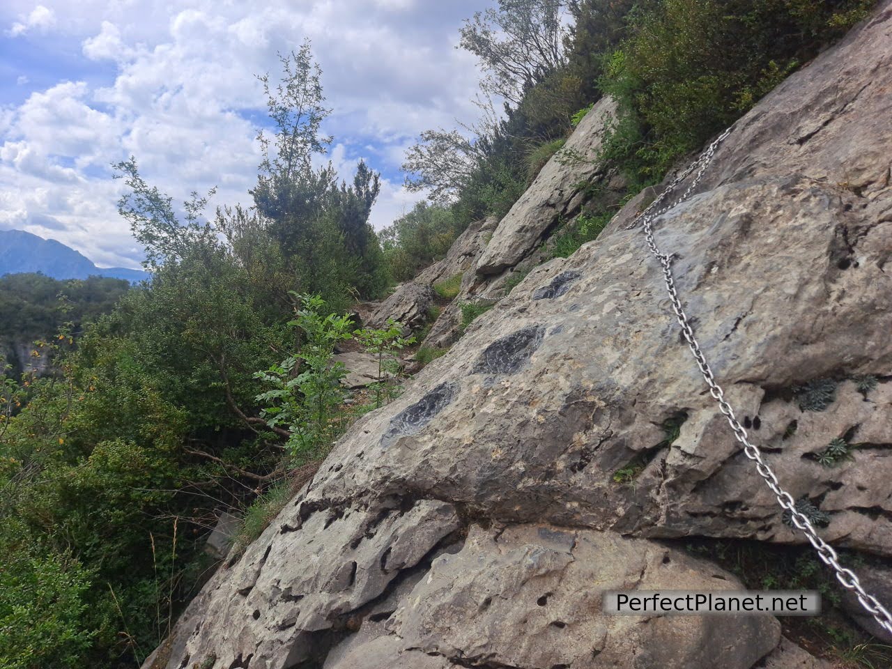
We start the route from Escuaín itself, following the path that starts behind the church. After barely half a kilometre we come to the most complicated section of the whole route, as we have to negotiate a stone in the middle of the path, which has been covered with a chain and has been slightly polished to make it easier to pass. If you are used to mountain walking it is not difficult at all.
Escuaín Gorge
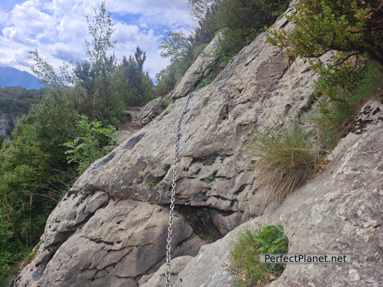
Chain
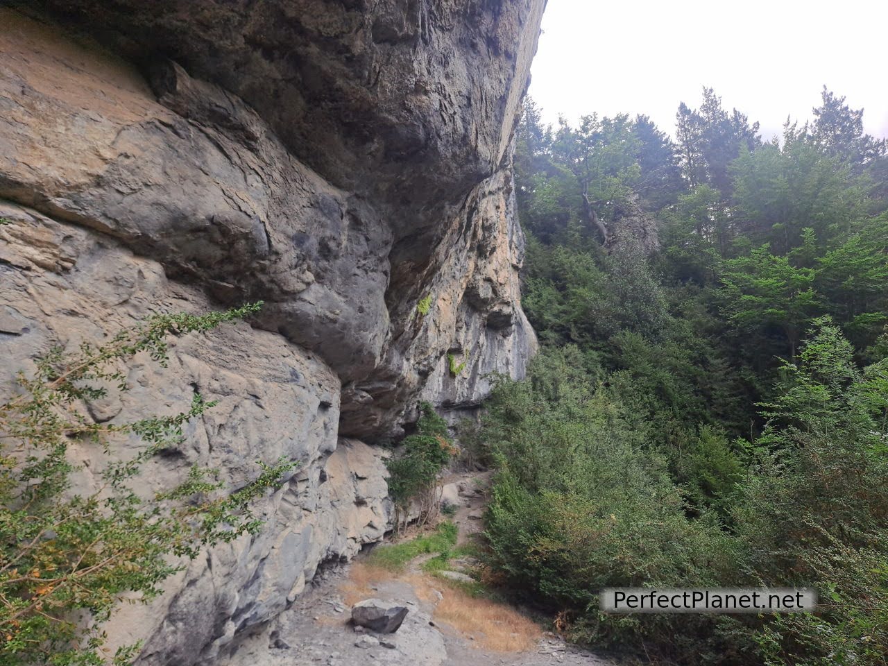
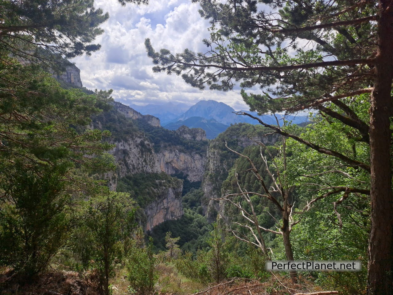
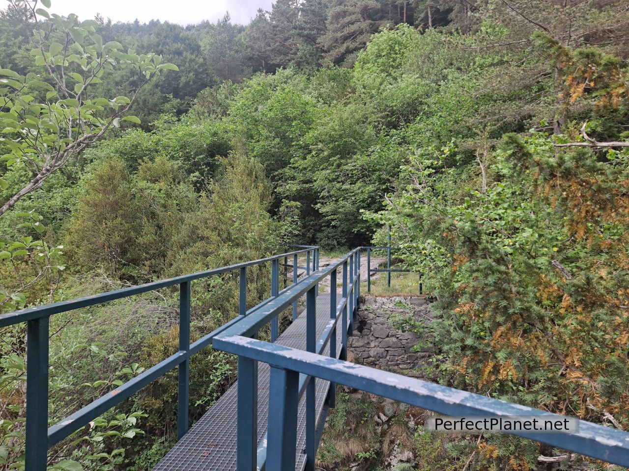
From here about two kilometres of girdle separate us from the Mallos bridge. The Faja is quite exposed in a couple of sections where cables have been laid for safety, but no equipment is needed.
Faja
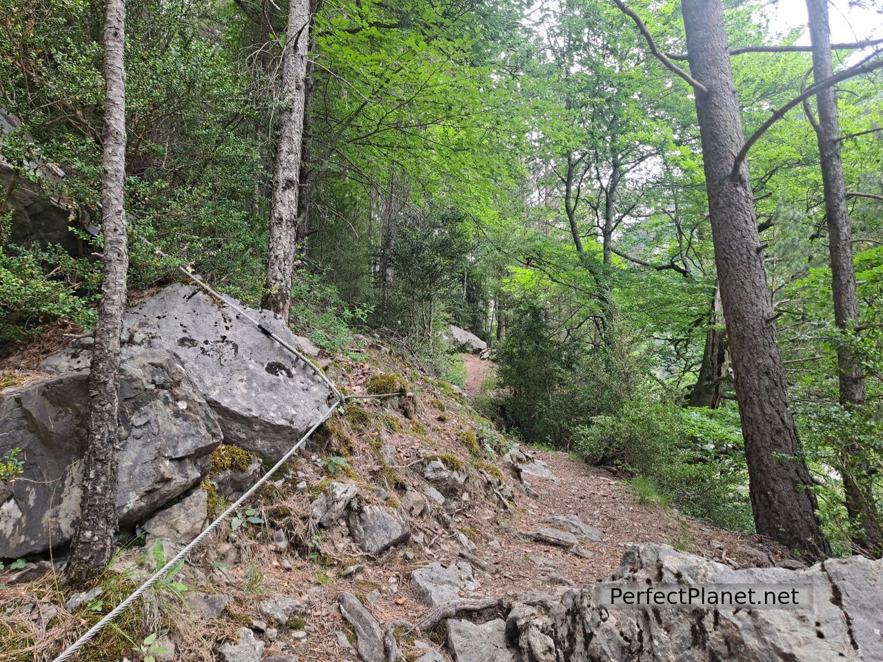
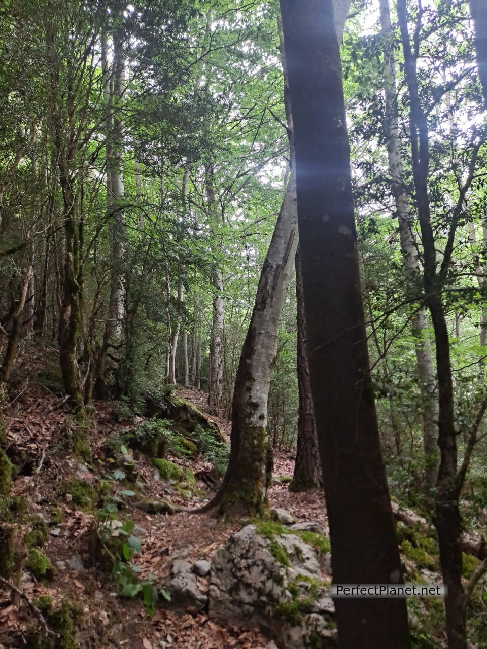
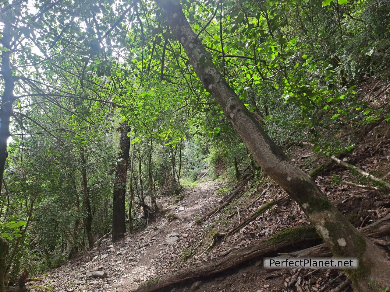
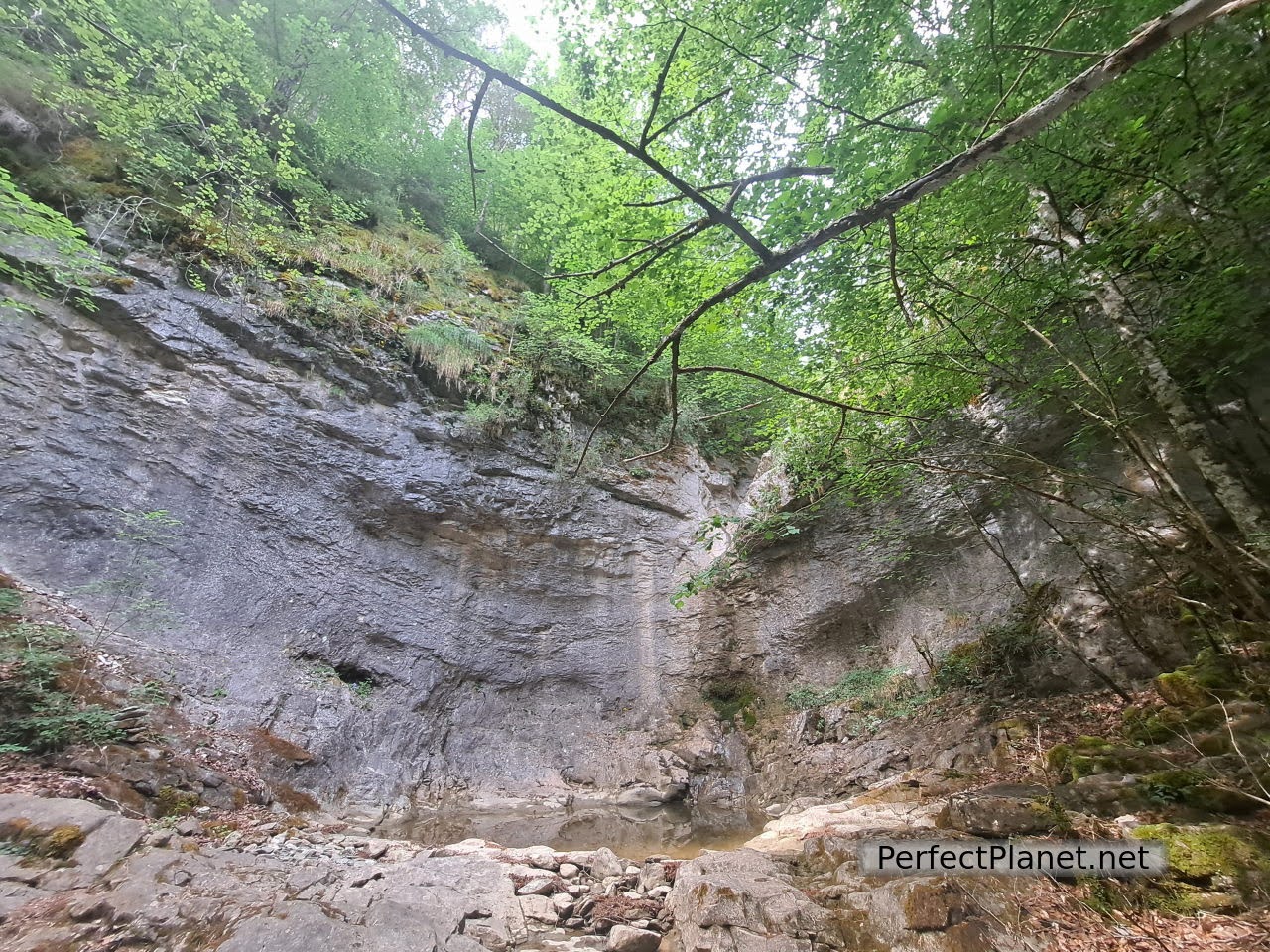
The path is beautiful, it goes through a spectacular forest with good views. Although the river does not carry much water, you can hear it and see the occasional waterfall.
Gorge
Waterfall
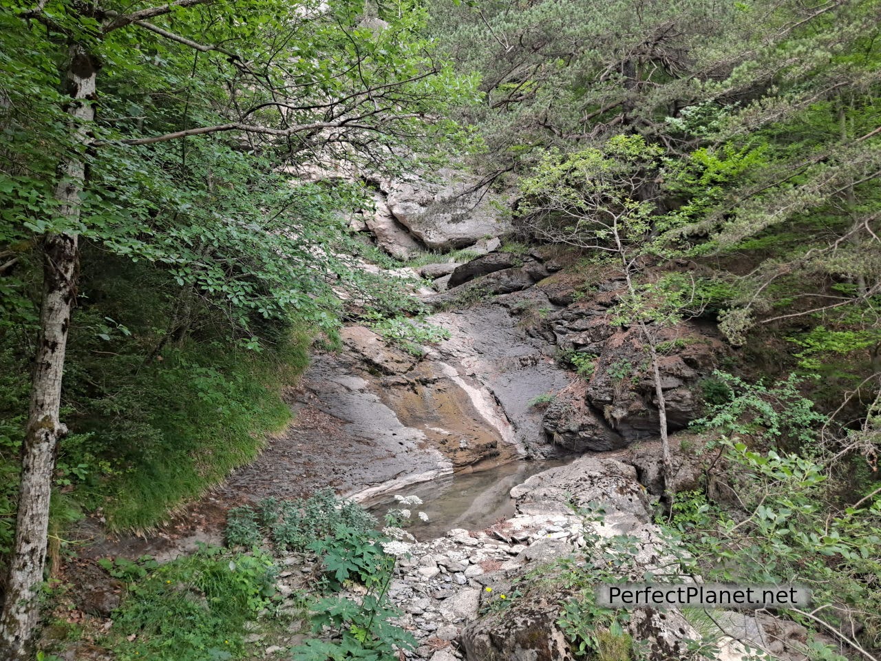
Waterfall
Once at the bridge of the Mallos we take the path that will lead us to the birdwatching post. We have a great opportunity to see a young bearded vulture coming down to eat at the feeding ground.
Mallos bridge
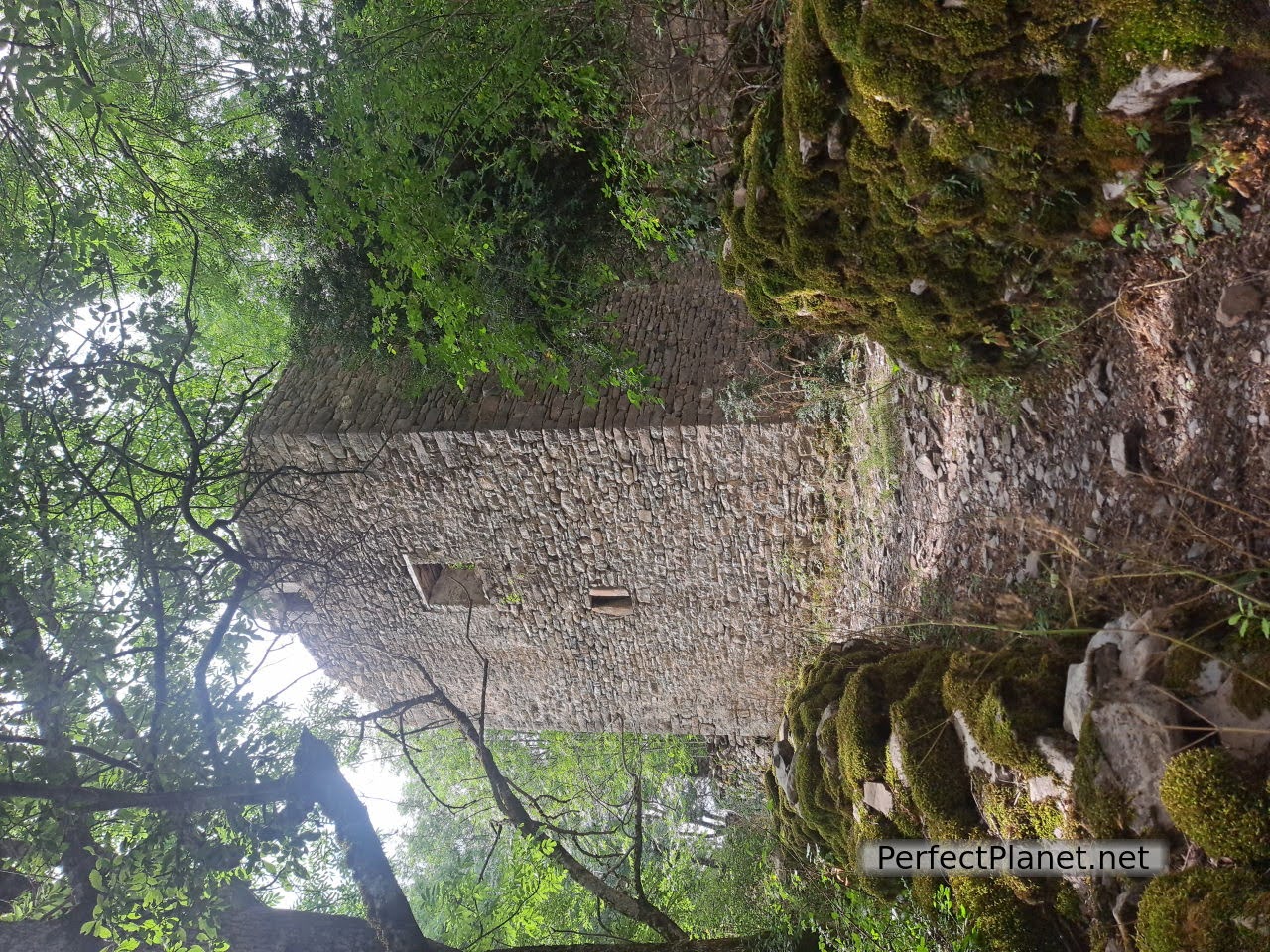
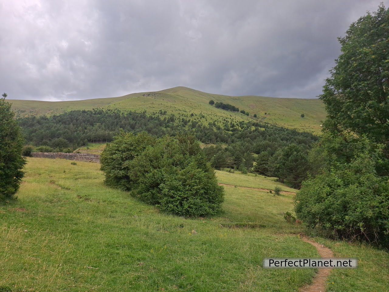
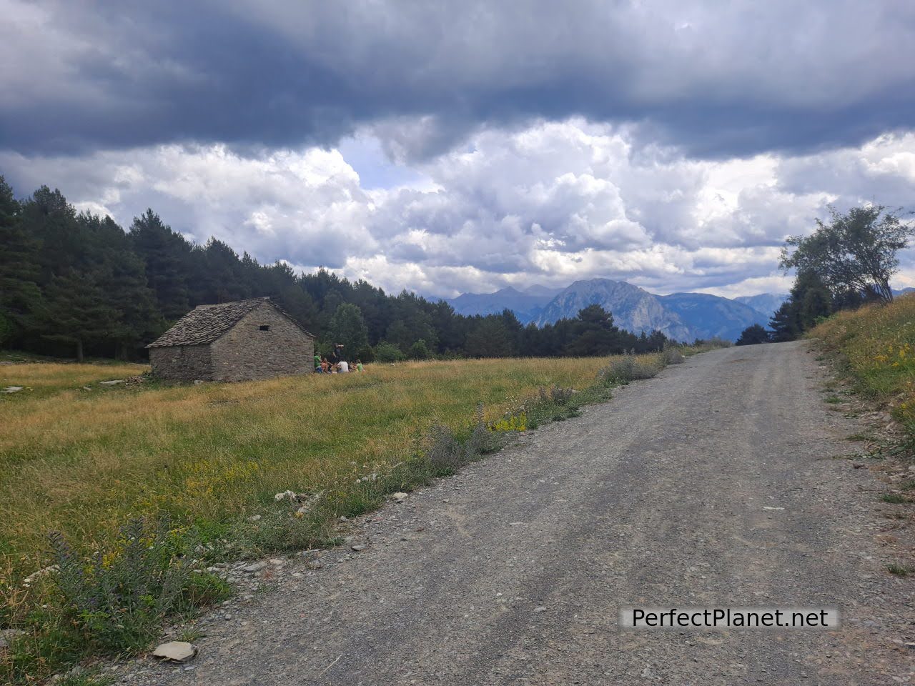
The return is by footpath and then a track only authorised for National Park rangers.
Dunghill
Way back
Advice. It is better to do the Faja at the beginning of the route as the rock is the first difficulty you will encounter (if you don't pass it you can turn around and start the route in the other direction, making it a return route through the same place) and the path is ascending, making it easier to walk it.
Way back
We invite you to follow this wikiloc link but in the opposite direction.
Route: circular route
Distance: 11 kilometres
Elevation gain: 450 metres
Technical difficulty: moderate if you go along the strip, if you go up and down the track there is no technical difficulty.
Whoever makes full or partial use of this track and its additional information, assumes full responsibility for the risks inherent in the practice of the activity, this information is for guidance purposes only.
- Log in to post comments