Despite being one of the smallest islands in the Canary archipelago, the island of La Gomera is home to a great biodiversity.
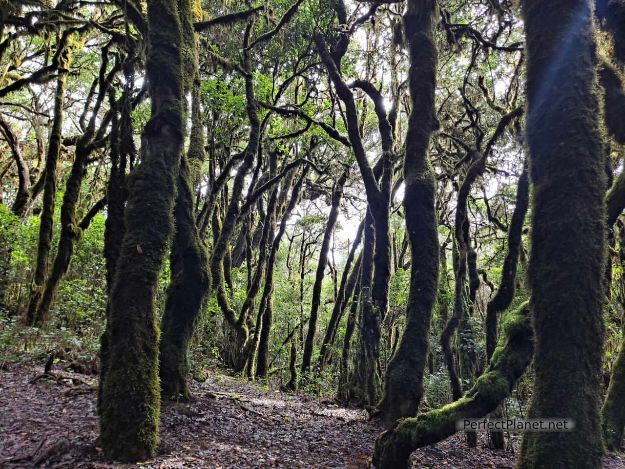
Garajonay National Park
The Garajonay National Park covers more than ten percent of an island made up of deep ravines, imposing rocks, cliffs, natural pools and palm groves. The difficulty of its orography has allowed an ancestral language that served as a communication tool between its abrupt valleys, the silbo, to survive to the present day.
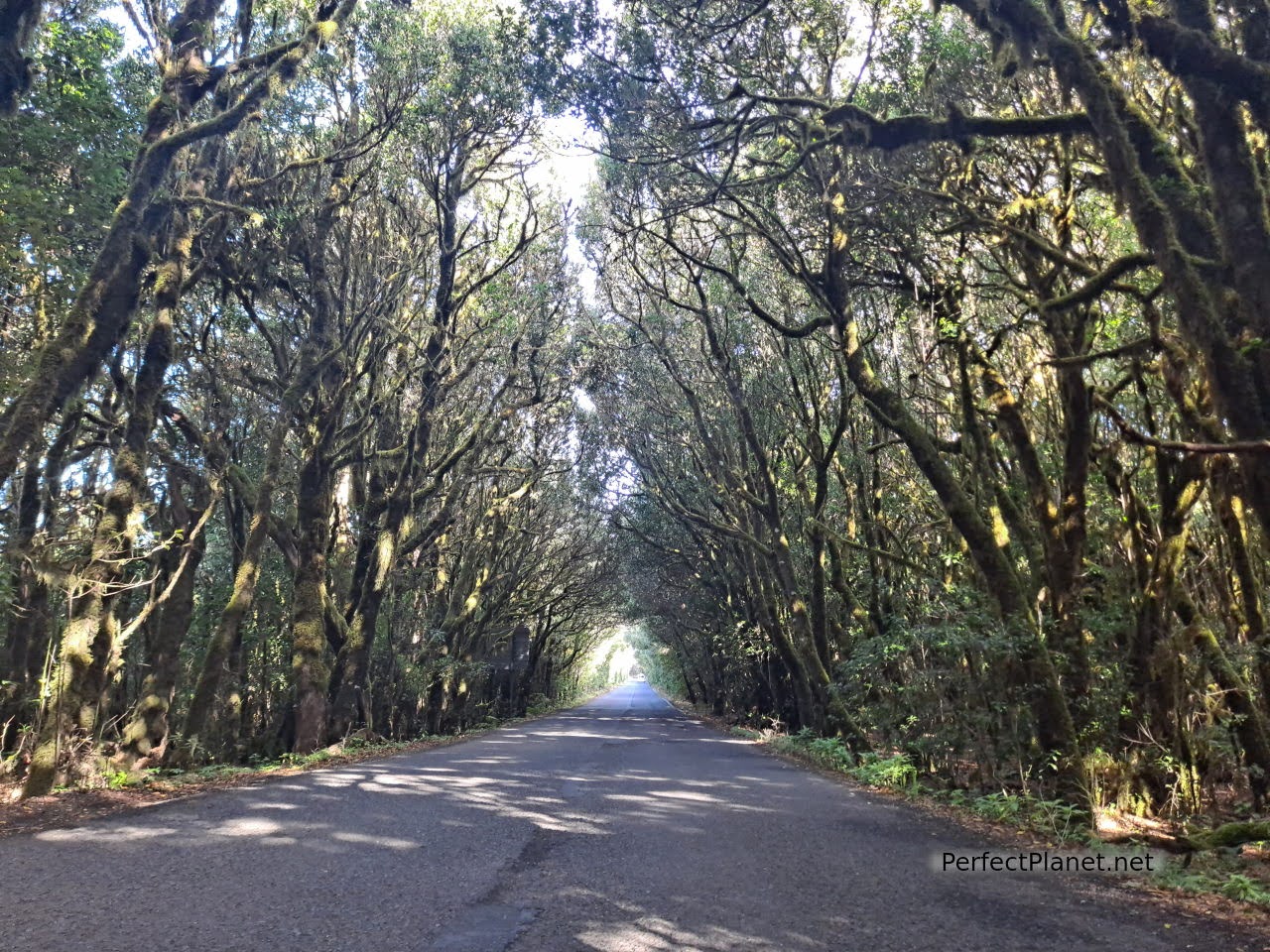
Garajonay National Park
Come with us to discover the treasures that this island has to offer visitors. The warmth and friendliness of its people, its gastronomy and its history.
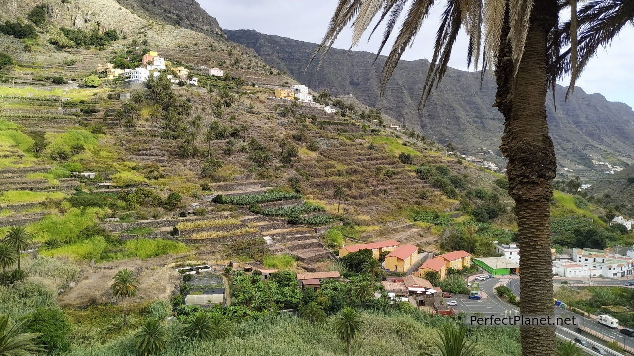
Hermigua
Map
What to see and do in 5 days in La Gomera
Day 2. Garajonay National Park.
Day 4. La Rajita beach, Igualero viewpoint, Santiago beach.
Day 5. San Sebastián de la Gomera.
You may also be interested in: La Palma in 6 days, El Hierro in 3 days , South Tenerife.
How to get there
By plane. The island of La Gomera has a small Airport located in the south of the island in the municipality of Alajeró, operated by the company BINTER, which operates two daily flights from Tenerife Norte.
The cheapest way to get to or from the capital San Sebastián de la Gomera, if you don't have your own vehicle, is to use bus line 3 which takes approximately 1 hour and costs 4€/pax.
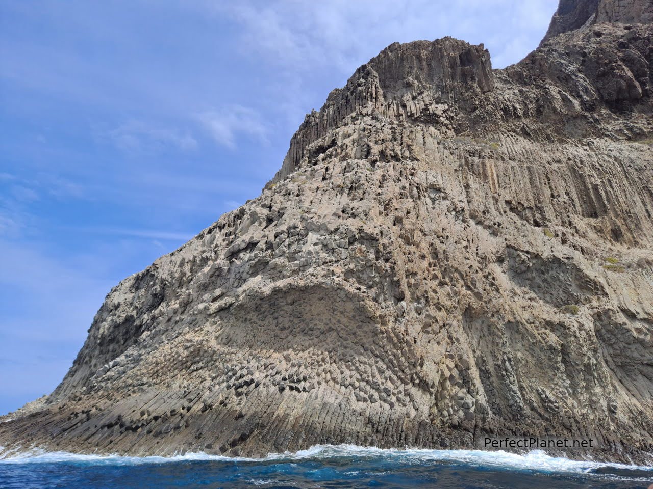
Organos Natural Monument
By boat. From the port of Los Cristianos on the island of Tenerife or from the port of La Palma you can reach the island of La Gomera. The journey from Tenerife is a short one hour to La Palma two and a half hours. The boats have sofas and tables, a restaurant, a shop and a bar on deck (1.20€ per beer can) which makes the trip very pleasant. If you are lucky you may see pilot whales and other cetaceans.
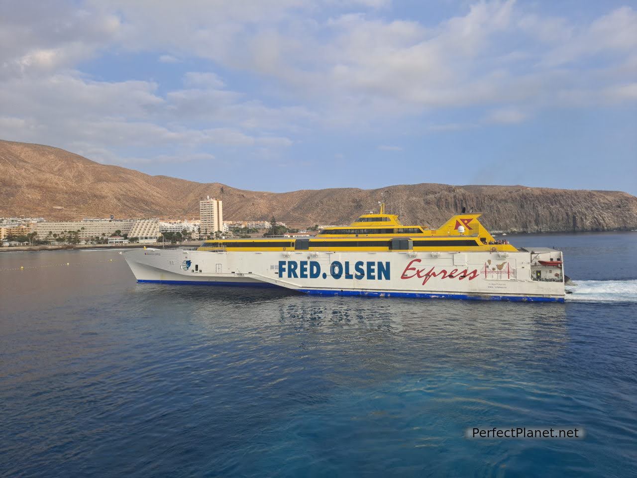
Ferry
Two ferry companies operate these routes, Fred Olsen and Naviera de Armas, we travelled with the latter which we found cheaper. The boats are punctual, you can travel with your rented car (you must inform your car rental company beforehand). It is advisable to be there at least one hour before the ferry departs if you have a car or half an hour if you don't. It takes about half an hour to complete the journey. It takes about half an hour to complete the boarding and disembarkation of all passengers.
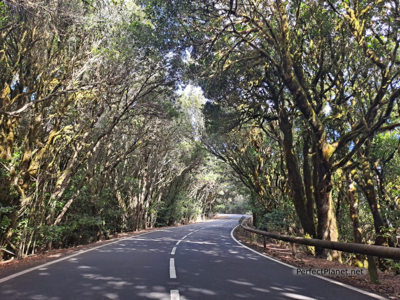
Garajonay National Park
In the case of Naviera de Armas, if you make more than one journey on the same day with the same company, the second journey is free. We have not seen this reflected on their website, so you have to do it over the phone.
Once you have bought your ticket, if you call to cancel it within 72 hours of the ferry's departure, they will refund you the full amount of the second journey, but if there is still 72 hours to go, they take a commission of around €7 per passenger.
Getting around the island
We rent a car with the company CICAR. Fully comprehensive insurance with no excess and unlimited mileage. They give you the car with an empty tank and that's how you have to return it. They work very well, new vehicles in very good condition. They have several collection and delivery points, and you can take it to other islands (previous notice to the company), although you must return it to the island of origin.
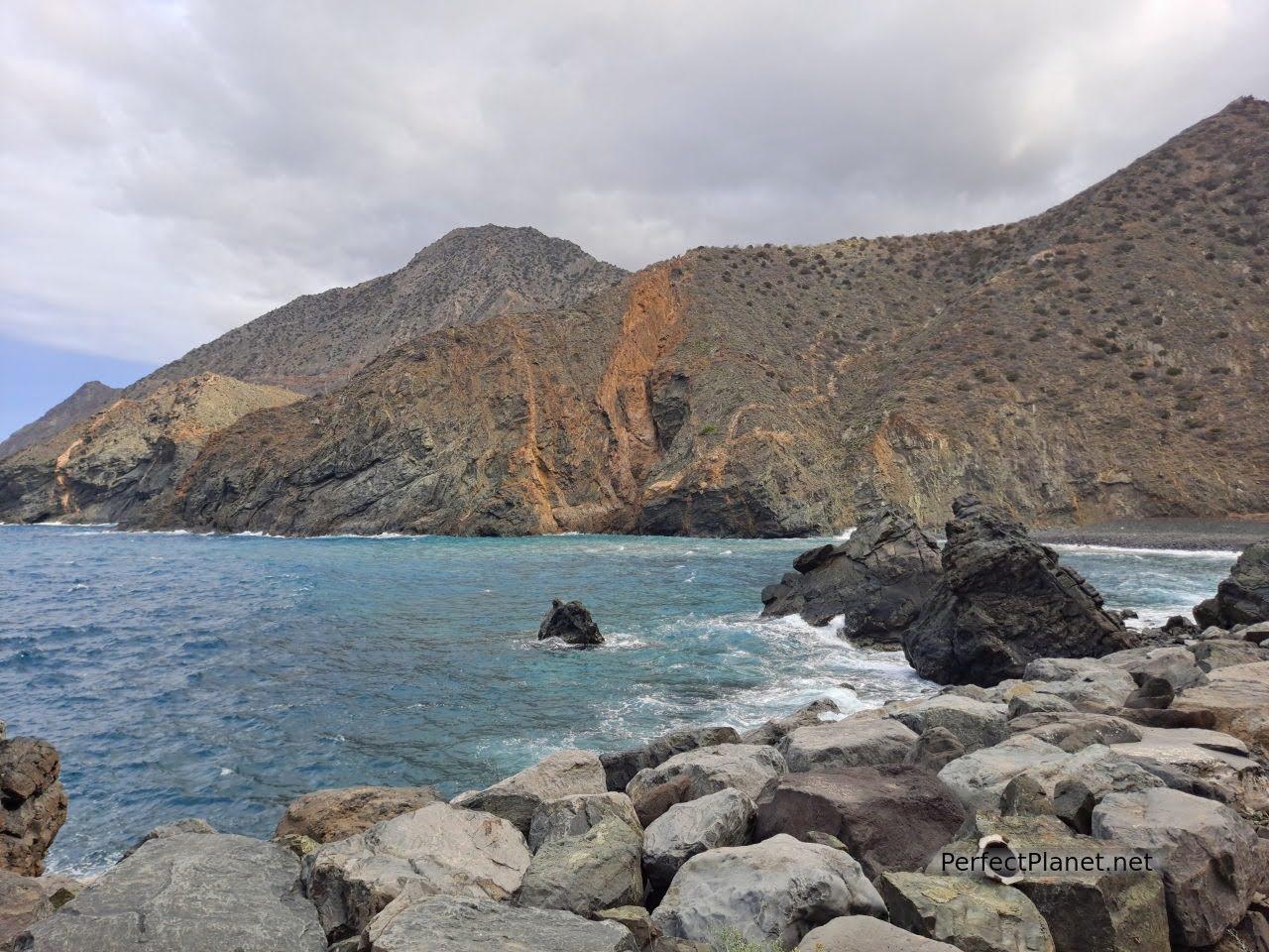
Vallehermoso beach
Refuelling in the Canary Islands is cheaper than on the mainland but if you want to see the prices of nearby petrol stations we recommend you use this app. (Mis Gasolineras)
Bus. This is the most used public transport in the Canary Islands. Buses (guaguas) run almost everywhere on the island and are very practical to combine with long walks.
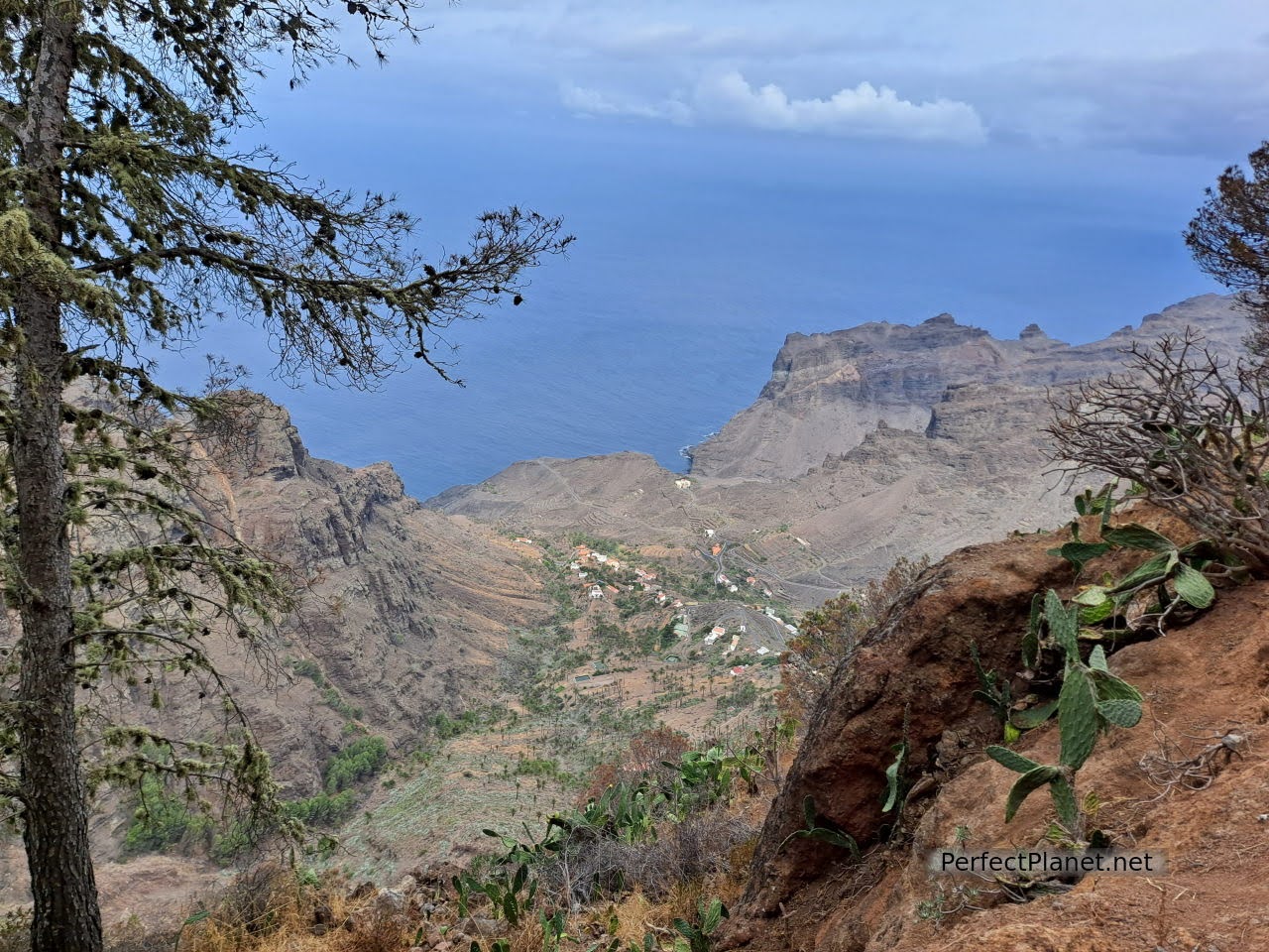
Taguluche ravine
Accommodation
We stayed in the flat Casa La Correhuela in Lomo San Pedro in the town of Hermigua in the north of the island. The reservation was made through Booking.
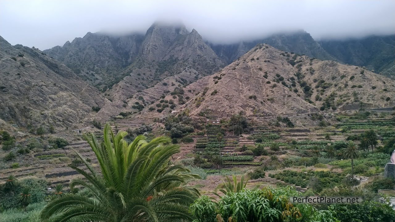
Views from our terrace
A simple flat, very clean, with a shared washing machine for other guests. We highly recommend it. We had a small terrace with stunning views of the ravine.
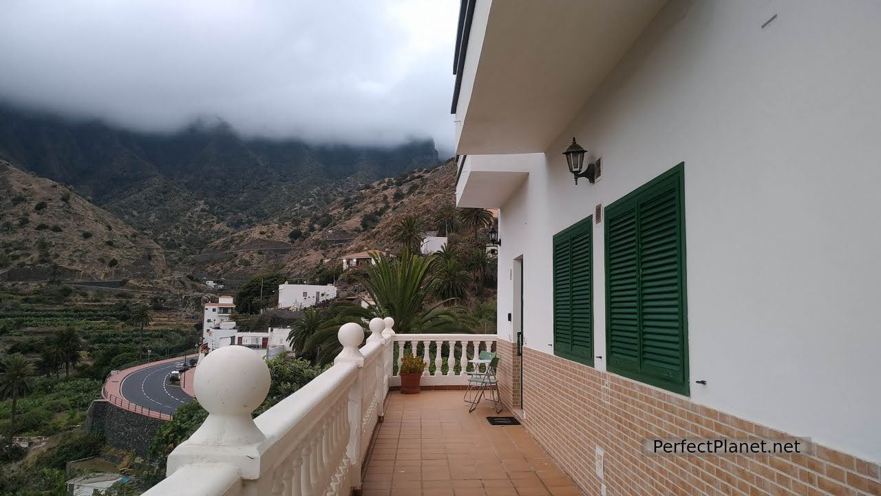
Our terrace
In the same street you have the restaurant Las Chácaras, good food and good prices. It is almost always full for dinner.
Gastronomy
Like the rest of the neighbouring islands, La Gomera is a great place to eat. Traditional cuisine and curious dishes such as almogrote (a kind of spicy goat cheese pâté), watercress stew or traditional sweets such as biscuits and quesadillas, we recommend Dulces Carmita in Hermigua.
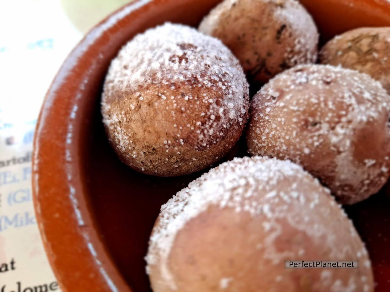
Wrinkled potatoes
Gofio is even used for desserts, we had a delicious gofio mousse with palm honey in Agulo at the restaurant La Vieja Escuela along with other delicacies such as stewed rabbit and carne feria (pork), all with potatoes and mojo.

Pork
In the past, this toasted flour (gofio) was even obtained from the roots of the ferns, what hard times this area had to go through.
Special mention has to be made of the palm tree from which everything is used, the dates for the animals, the leaves for the roofs and with the guarapo (it is like the sap of the plant) honey, wine and liquor are obtained. Impressive. It is a pity that this cultivation is more and more in disuse. In La Gomera the fields are less and less cultivated and it is common to see the terraces of the ravines abandoned.
It is common to see the ravines full of prickly pears. The fruits are very tasty, they have to be ripe and reddish in colour, but be careful with the spikes, you have to pick them up with a glove or a piece of paper, even so it is worth trying them.
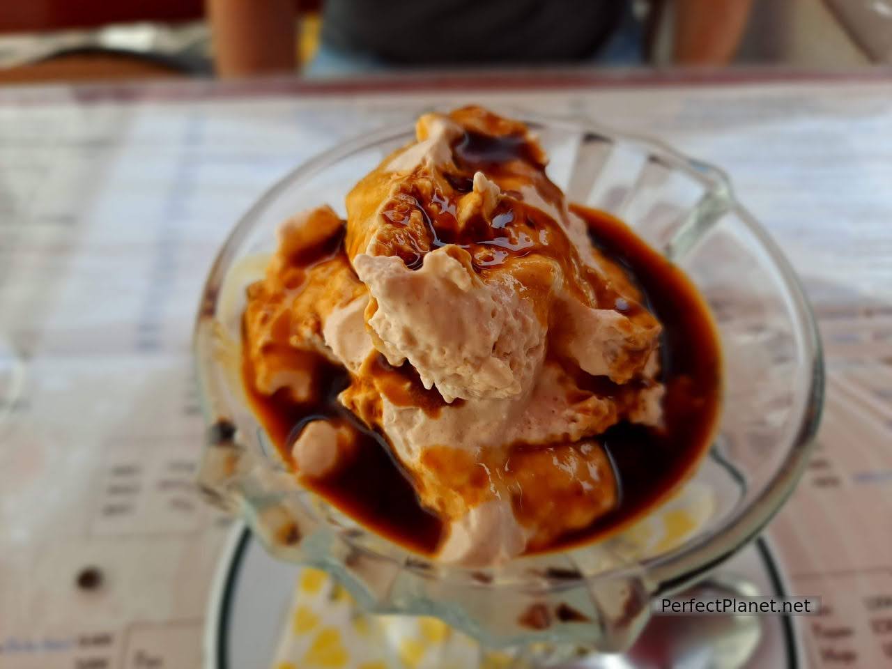
Gofio Mousse with palm honey
Travel insurance
We always recommend that you take out insurance before you start your trip. Both Mondo and Iati offer the best conditions on the market.
Since the arrival of Covid-19, it is essential to have travel insurance. In addition to medical assistance, these insurances offer many other coverages that are adapted to each traveller without having to advance money or excesses.
The price varies depending on the coverage and the duration of the trip. For example, insurance to the Canary Islands for three weeks costs around €28 per person with Iati.
Day 1. Hermigua, Agulo, Abrante viewpoint, Vallehermoso, Vallehermoso beach , Pescante of Hermigua, Caleta beach.
We propose a tour of the northern part of the island for today.
Hermigua. The town of Hermigua is located in a beautiful ravine with terraces dedicated to different crops, among which banana trees predominate. Other fruits such as mangoes and mandarins are also grown in the valley.
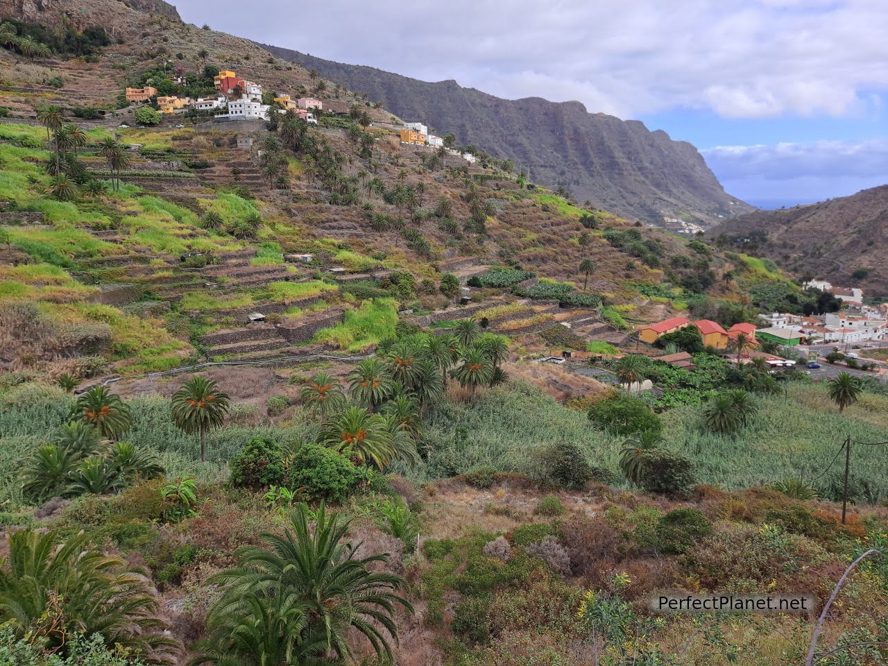
Hermigua
The San Pedro neighbourhood is the most interesting. In the Armas Square is where the Convent of San Pedro Apóstol is located, a Dominican complex that was an important school and cultural centre in the 17th and 18th centuries. It is worth noting the coffered ceiling inside the church. Free admission.
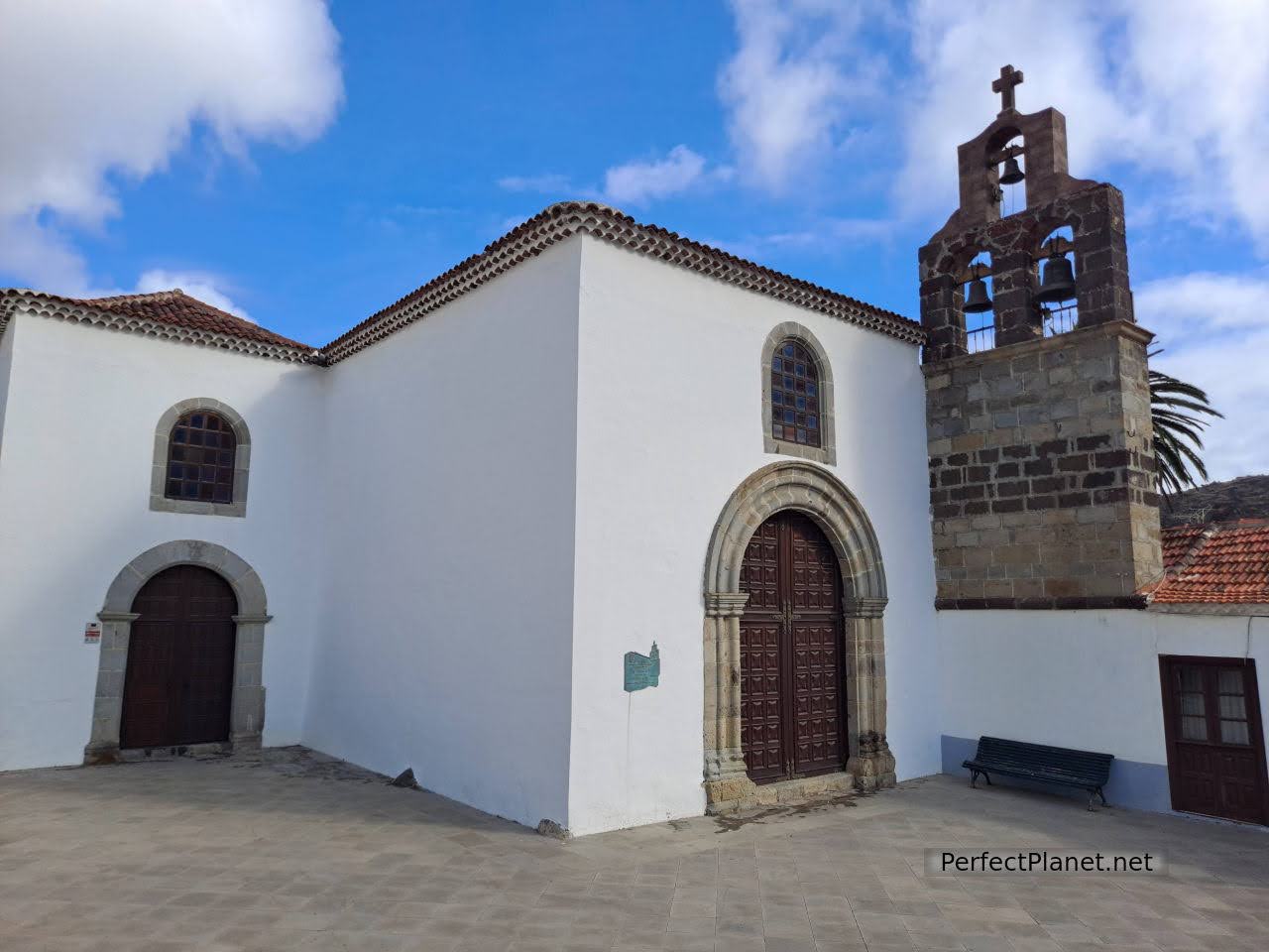
The Convent
A few metres from the Convent, the Ethnographic Park of the Looms (opens at 11 am every day except Tuesdays, price 4.50€/pax non-residents). A journey through Gomeran tradition thanks to the collection of tools and antiques that Doña Maruca, founder of the Park, compiled over the years. A journey into the past to find out how people worked and lived on La Gomera.
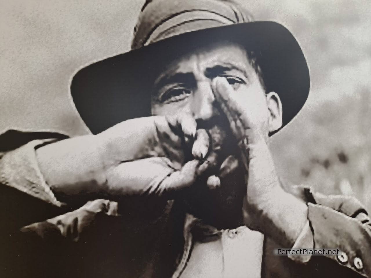
Ethnographic Park
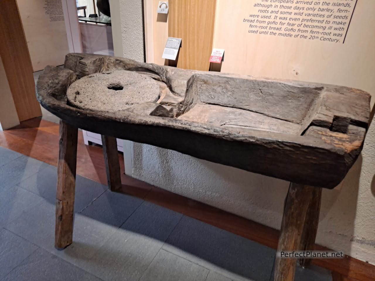
Ethnographic Park
They preserve the only water mill for grinding gofio on the island. You can visit the organic farm and the farm, whose products are used in their own restaurant. They also have binoculars to enjoy the spectacular El Chorro waterfall.
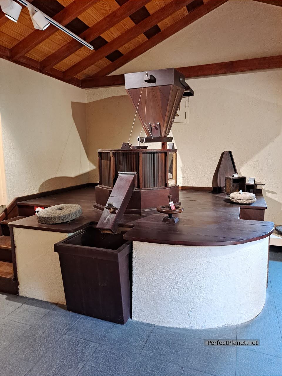
Ethnographic Park
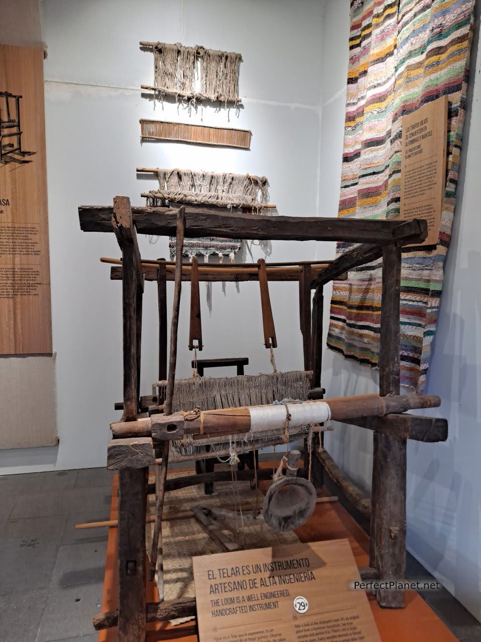
Ethnographic Park
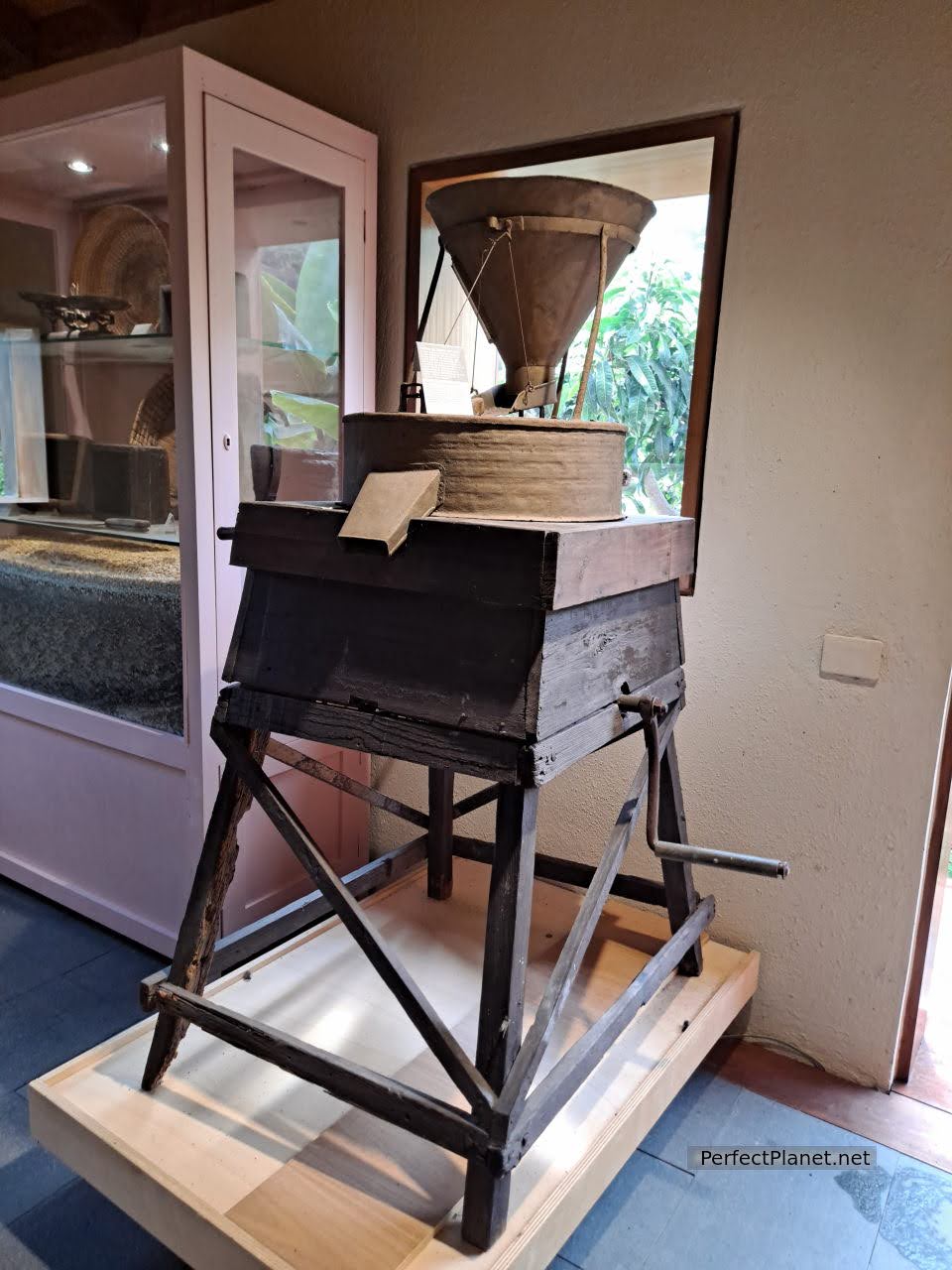
Ethnographic Park
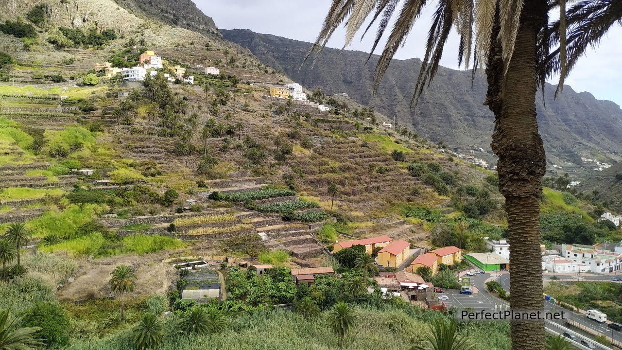
Hermigua
In the centre of Hermigua there is also the Church of Nuestra Señora de la Encarnación and the Ethnographic Museum of La Gomera (not to be confused with the Park), where you can learn about customs and traditions, and find out a little more about the silbo gomero, a language used by the island's inhabitants to communicate in the face of the difficulties presented by the island's rugged terrain. Opening hours: Tuesday to Friday from 10am to 6pm, Saturdays and Sundays from 10am to 2pm, closed on Mondays.
Rocks of Hermigua. The famous volcanic rocks of Pedro and Petra attract attention for their singular beauty and the legend that surrounds them.
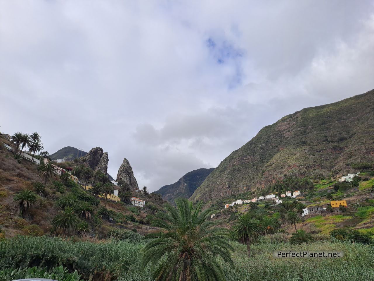
Rocks of Pedro and Petra
If you fancy trying a delicious almogrote, we recommend the Don Pedro bar, which has a lovely garden terrace. Two beers and a portion of almogrote €8.50.
Punta viewpoint. Located on the coastal road towards Agulo, you can enjoy the breathtaking views of Santa Catalina beach and the Teide in neighbouring Tenerife.
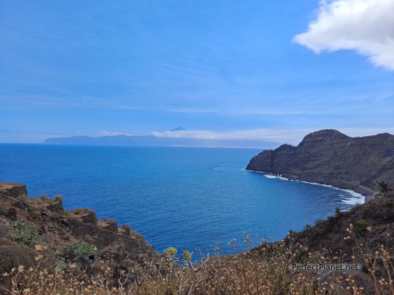
Punta viewpoint
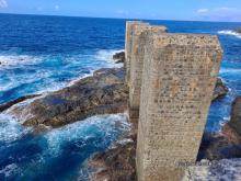
If you feel like having a swim, don't hesitate, the Pescante of Hermigua is one of the best places in the area. It consists of a more protected pool and a more natural pool located in a privileged enclave next to the remains of the concrete pillars that supported the old Pescante of Hermigua. Due to the strong waves on the north coast of La Gomera, harbours could not be built, so these imposing constructions were used to load the boats with the tomatoes and bananas produced on the island. You can also see them in Agulo and Vallehermoso.
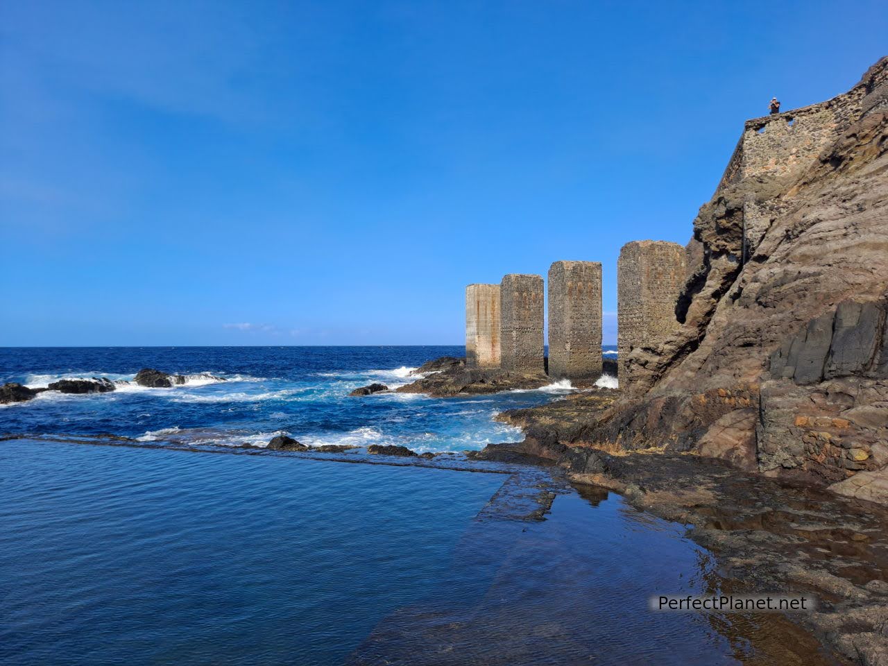
Pescante of Hermigua
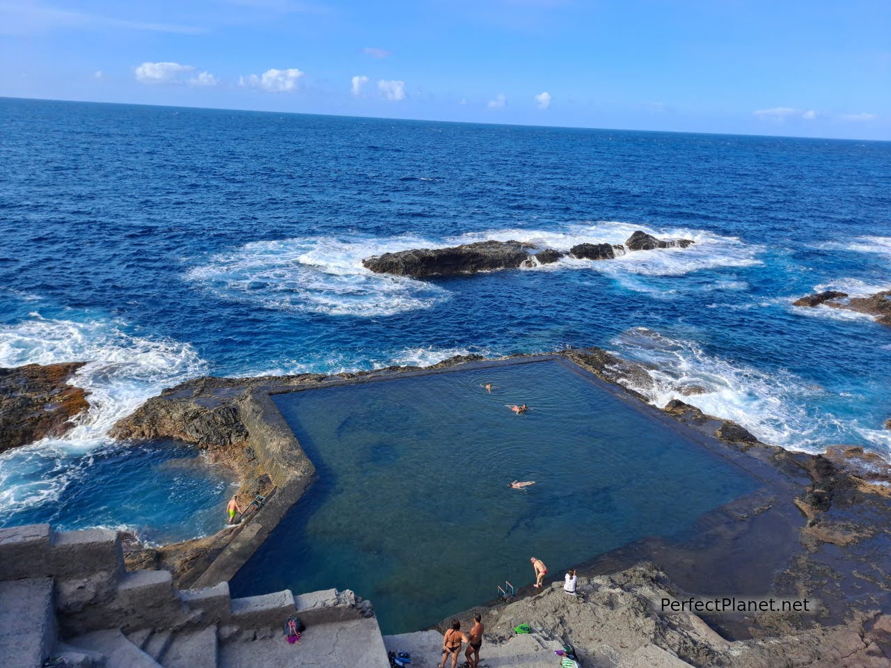
Pescante of Hermigua
Near the Pescante is the CV3 road that leads to the viewpoint of La Orilla and the beach of La Caleta.
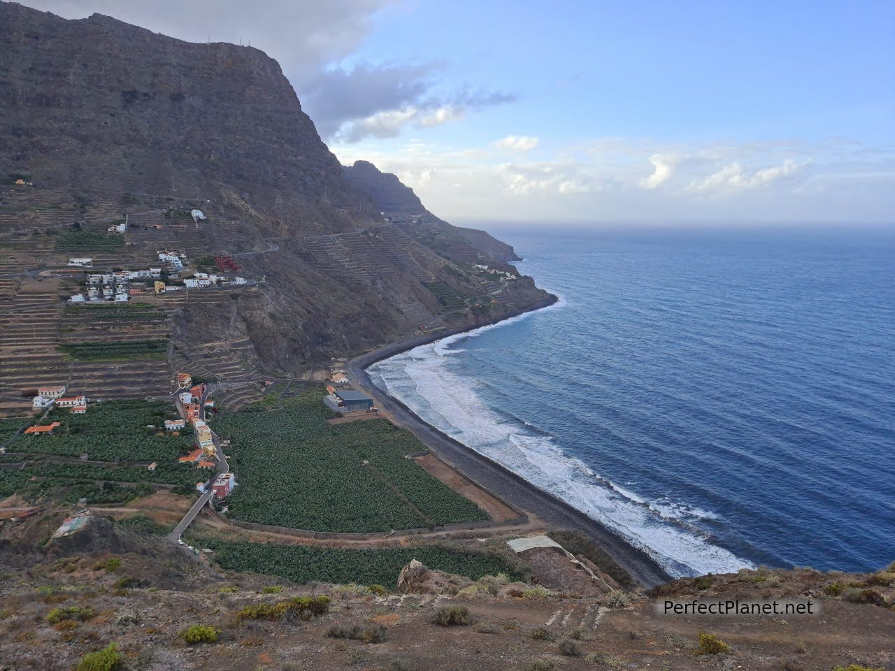
Orilla viewpoint
La Caleta beach, formerly known as Sugar beach, was the main sugar exporting point on the island during the 16th century. This small cove of black sand is ideal for a swim if the sea is calm. Presided over by a rocky outcrop, it offers spectacular views of Mount Teide. It has toilets, tables under a small tree-lined area, umbrellas and a kiosk next to the San Juan hermitage. You can get there on foot from Hermigua about 4 kilometres one way.
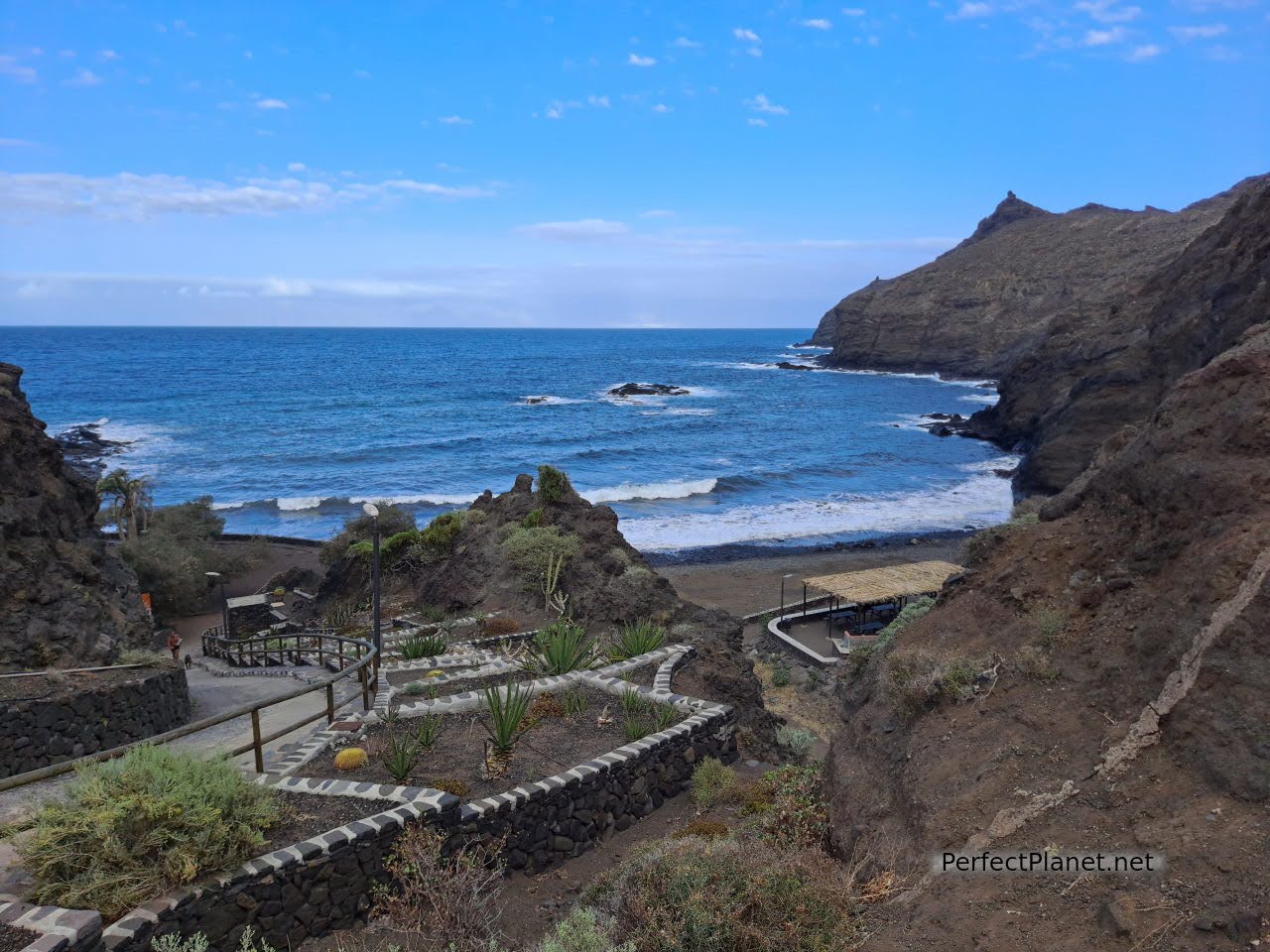
Caleta beach
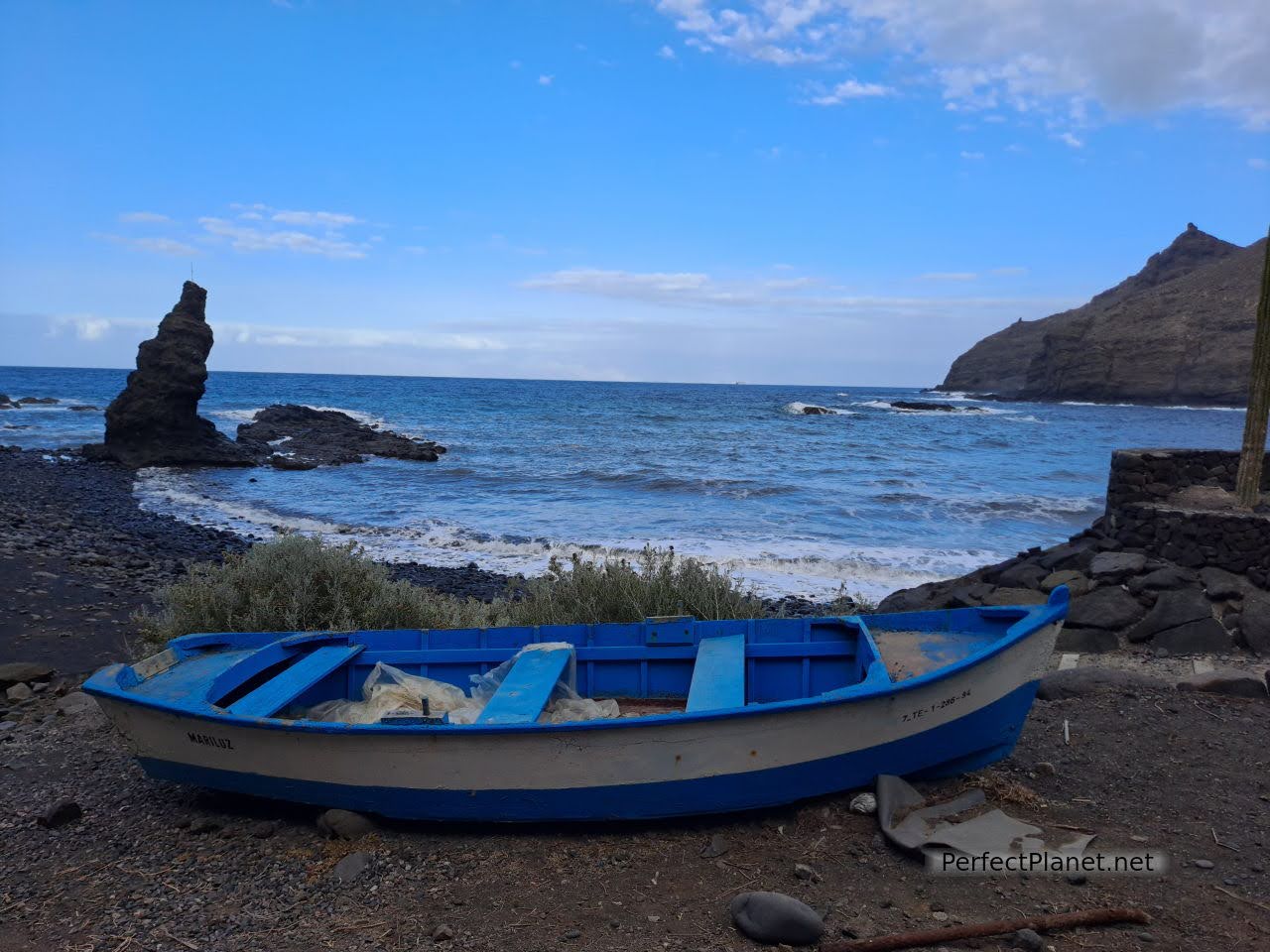
Caleta beach
Another very interesting coastal town near Hermigua is Agulo. This small town, known as the "bonbon" of La Gomera, stands out for its well-preserved old quarter. It is well worth strolling through its cobbled streets and enjoying the architecture of La Gomera. You can go down to El Pescante and also visit the church of San Marcos with its white domes.
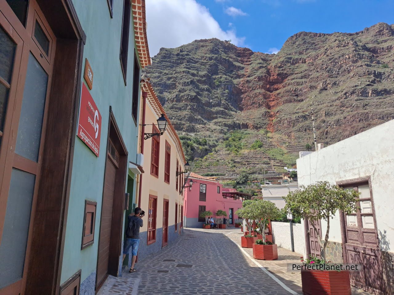
Agulo
We recommend parking on the main road, as the streets in the town centre become narrow.
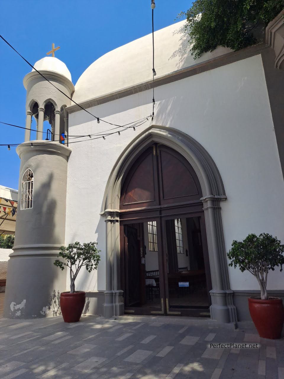
San Marcos church
Agulo also offers views of neighbouring Tenerife with the majestic Teide in the distance.
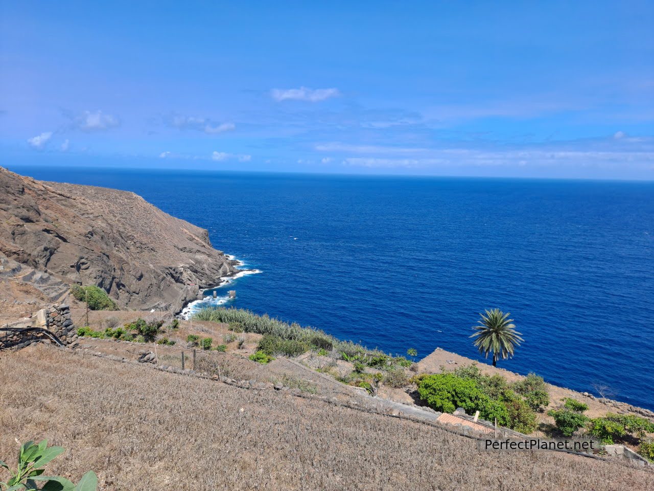
Pescante of Agulo
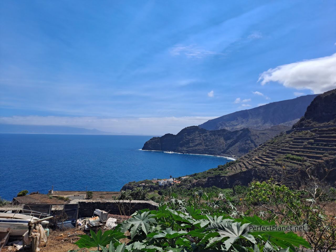
Agulo coast
We recommend eating at the restaurant La Vieja Escuela, very tasty, good price and good views. Rabbit, carne a feria (pork) and gofio mousse with palm honey for 15€. We tried a very interesting red wine from the island.
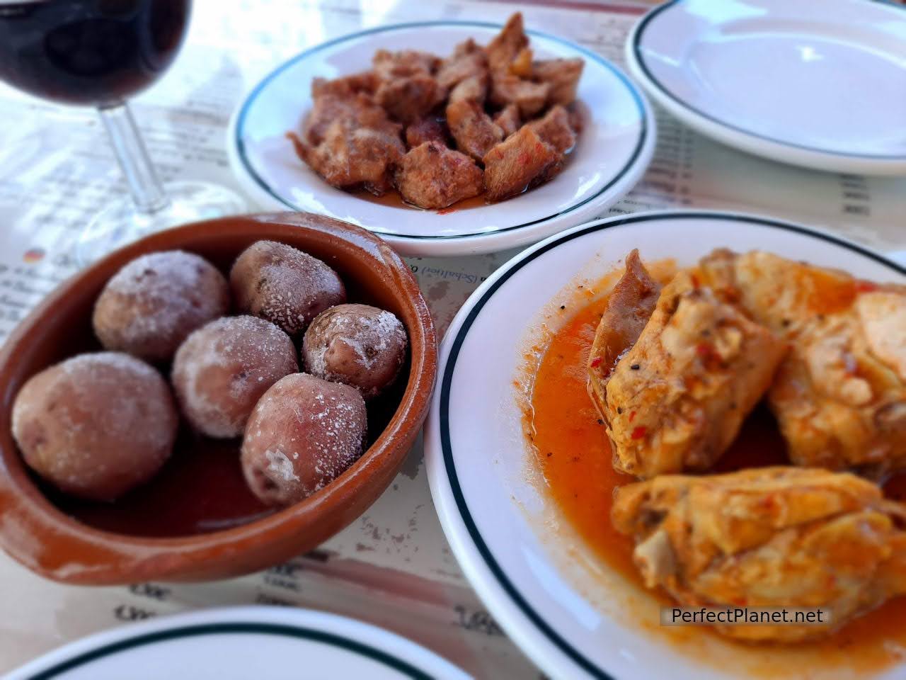
Potatoes, feria pork and rabbit
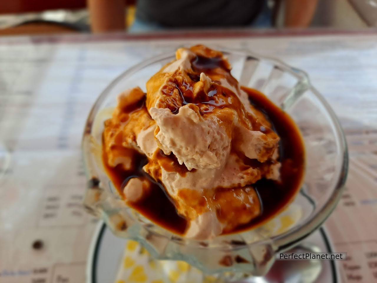
Gofio mousse with honey palm
For a beer in the bar Lila, 2.40€ 2 cañas. If you are lucky like us, you will be able to enjoy the silbo, the locals still know how to use it and sometimes use it to communicate.
We continue on the GM1 in the direction of Vallehermoso. After a few kilometres we take a turn-off to our left to the Garajonay National Park Visitor Centre and from here we continue to the Abrante viewpoint.
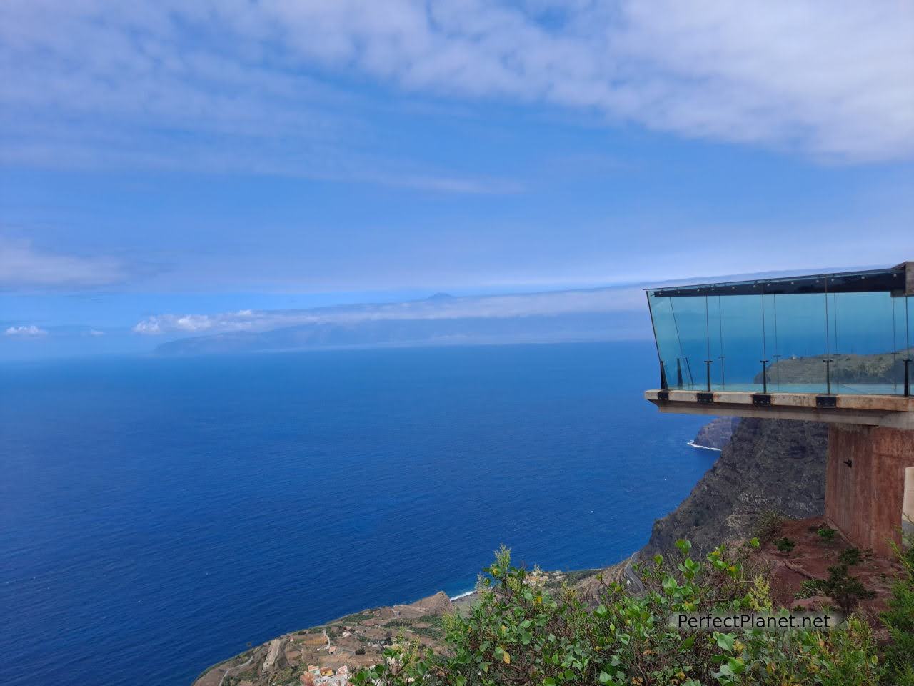
Abrante viewpoint
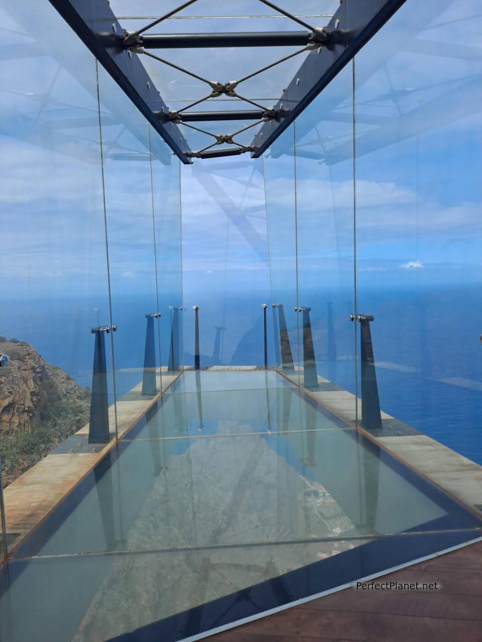
Abrante viewpoint
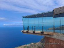
El Abrante viewpoint es uno de los más espectaculares de la isla. No sólo las vistas te fascinarán también su pasarela de cristal en la que pareces estar suspendido en el aire. Sus alrededores de tierra rojiza hacen de este lugar único en la isla. Imprescindible.
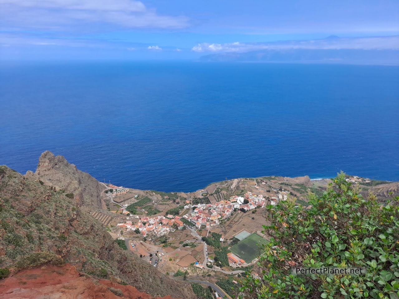
Views from Abrante viewpoint
We return to the GM1 to reach the town of Vallehermoso. Just before arriving we recommend that you stop on the right hand side at the Vallehermoso viewpoint, with beautiful views of the village, the ravine and the Cano rock behind you.
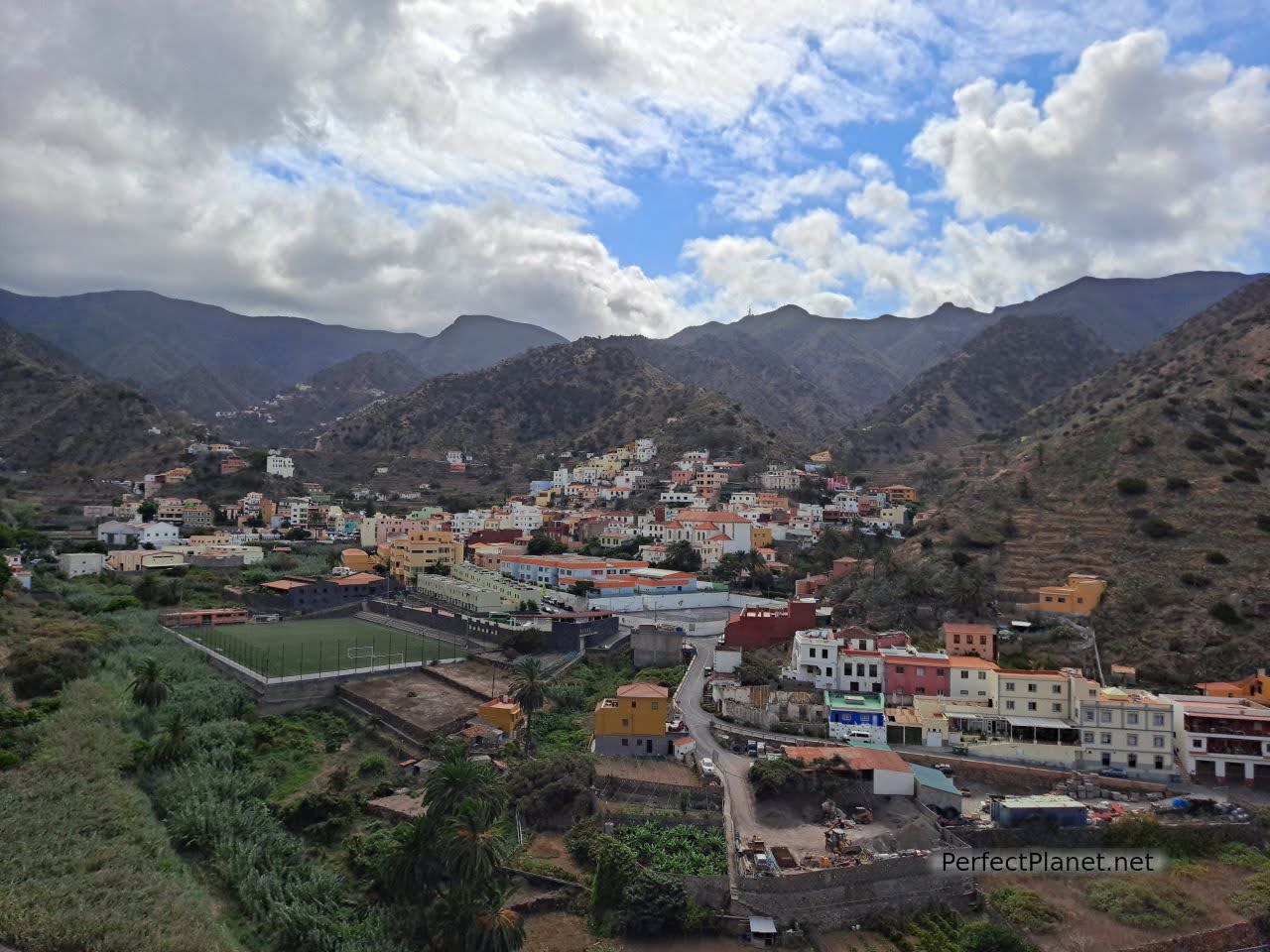
Vallehermoso
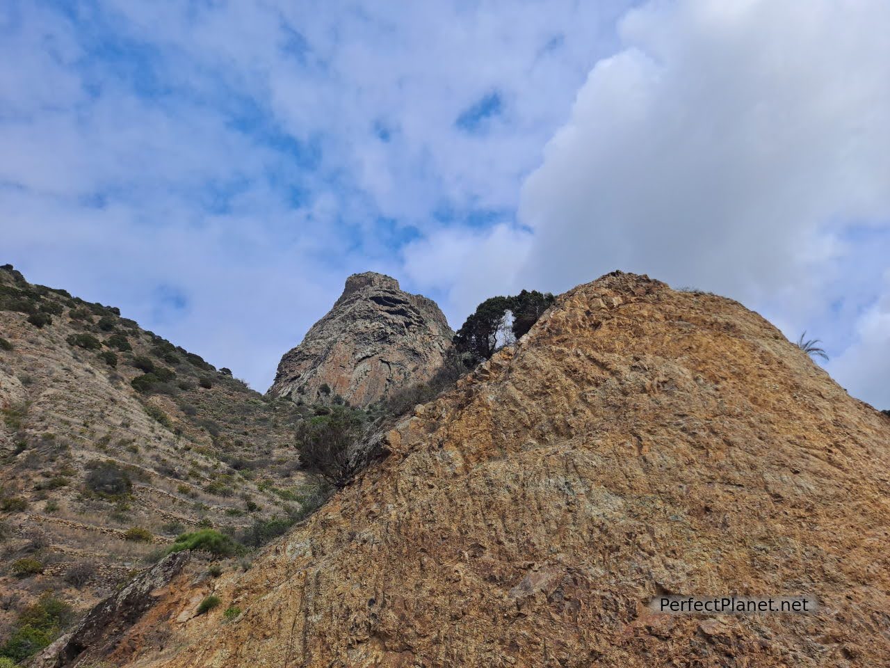
Cano rock
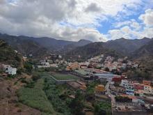
Vallehermoso is a small town with traditional houses, the Constitution square and the church of San Juan Bautista are worth mentioning. Thanks to the exceptional climatic conditions in the eastern part of Vallehermoso, palm trees are grown, from which the traditional Palm Gomera honey is extracted.
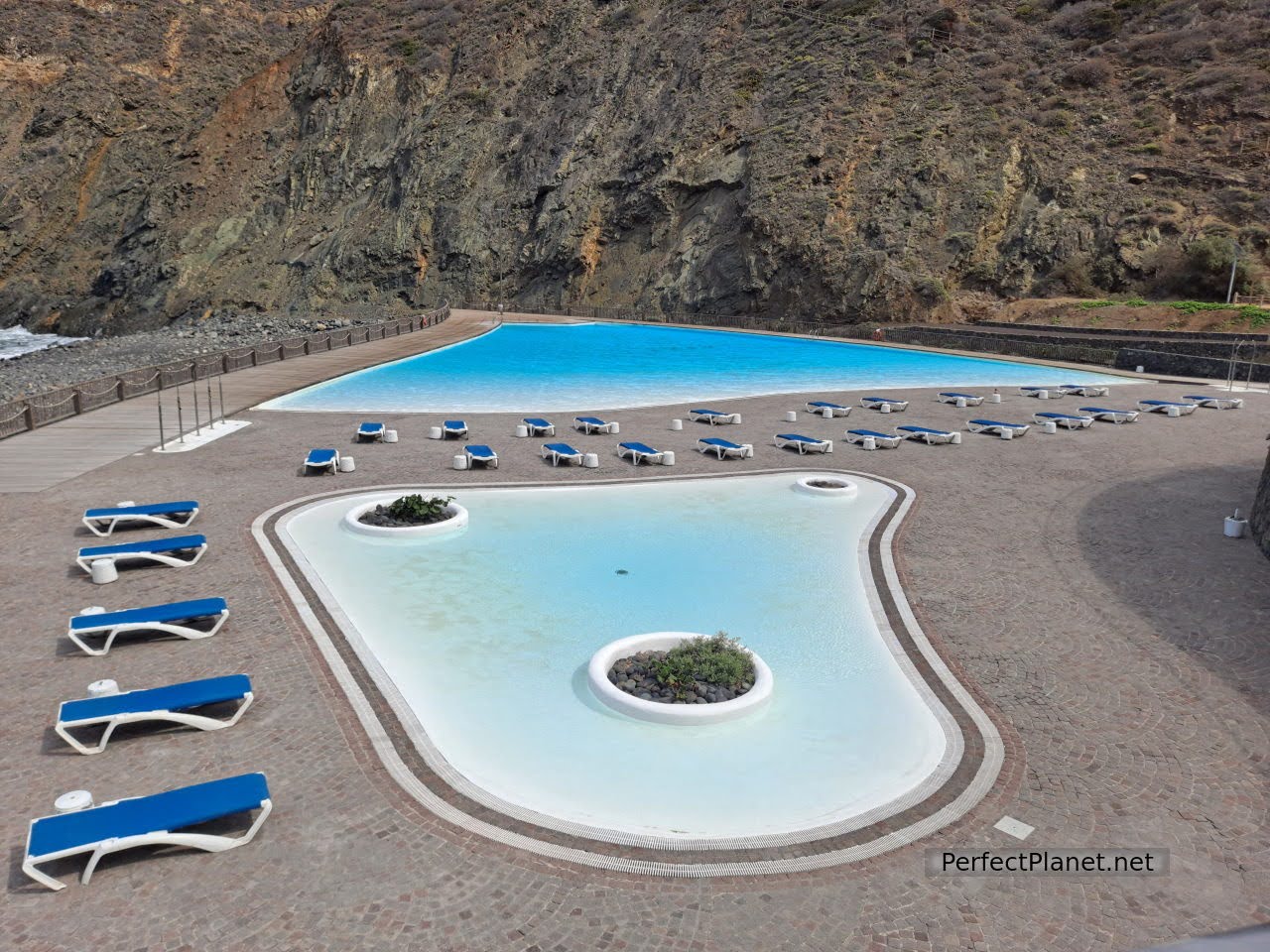
Maritime Park
The beach of Vallehermoso stands out not only for the Maritime Park but also for housing the curious construction of a castle of medieval origin, now abandoned, the Castillo del Mar. Battered by the onslaught of the sea, this castle was built on the only banana wharf in Europe. It was restored by the German Thomas Müller in the 1980s, although access by sea made it difficult. Finally, in the early 2000s, a local construction company took over the work, which, together with the reconstruction of the coastal road, turned it into a concert venue and restaurant.
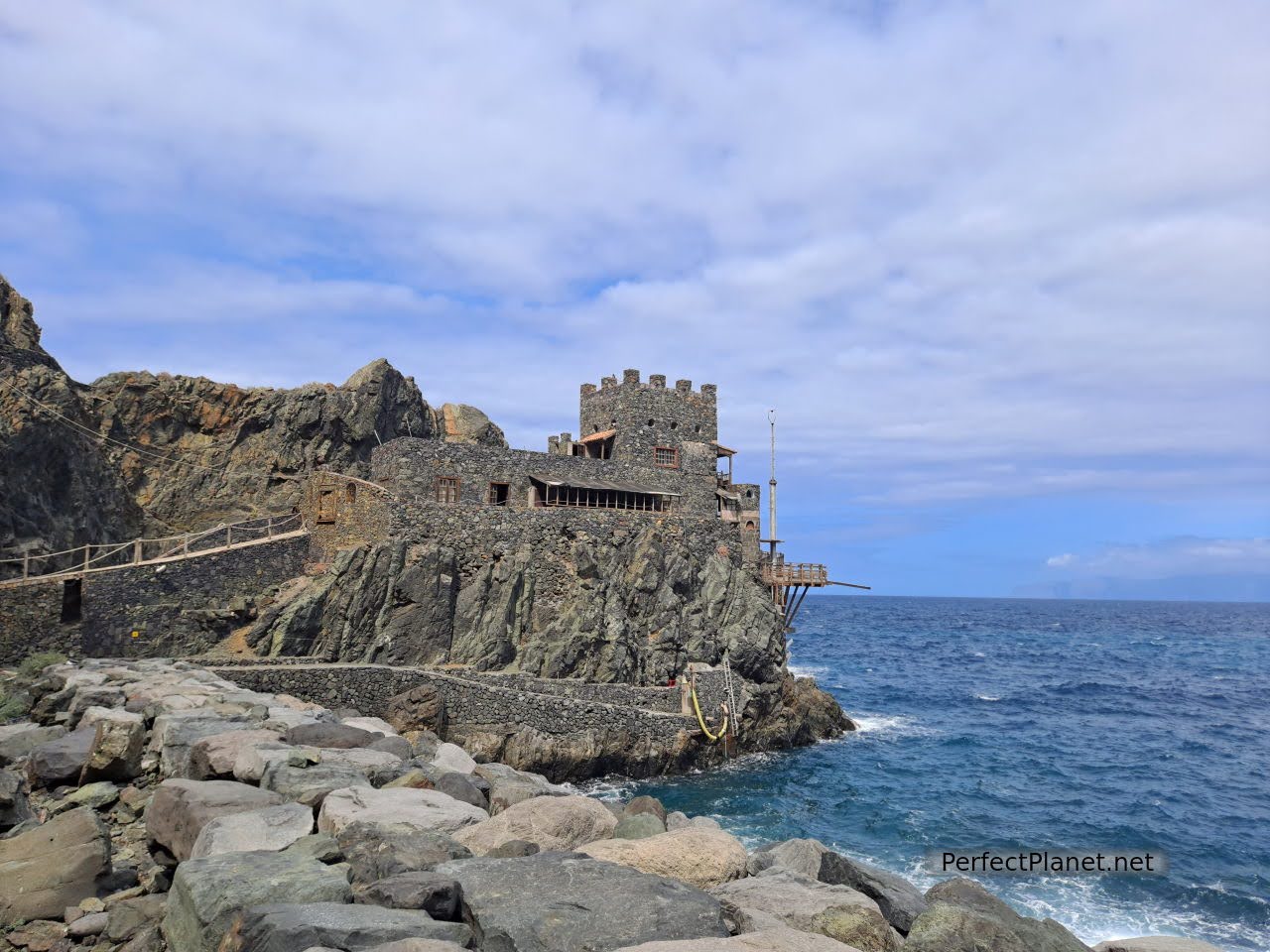
Castillo del Mar
It is now totally abandoned, the access road has suffered landslides and care must be taken. Nevertheless, the setting is spectacular.
Next to the beach and the swimming pool complex, the hermitage of La Candelaria.
Day 2. Garajonay National Park.
Tip. We propose several routes to visit the Park, although you can combine them with other activities or places on the island.
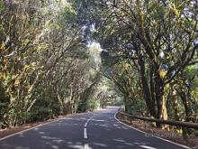
The Garajonay National Park, a Biosphere Reserve, comprises one of the oldest forests in Europe. These humid forests, authentic living fossils from the Tertiary Era, are preserved throughout the Macaronesia region, but it is here in La Gomera where we can enjoy the largest extension of this type of forest in the whole of the Canary Islands archipelago.
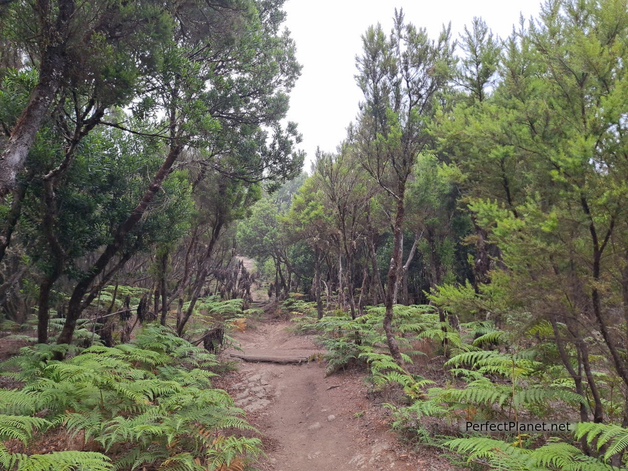
Route 18
The laurisliva, the name given to these humid subtropical forests located at high altitudes, is made up of lauraceous plant species such as vinatigo, lime, laurel or barbusano and others such as fayal, heather and ferns.
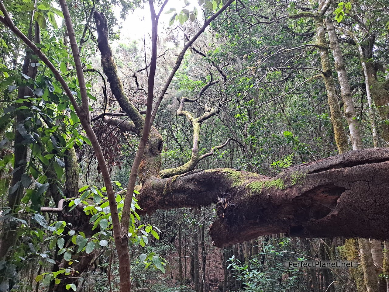
Laurel forest
It is in these forests where the phenomenon known as horizontal rain occurs, the plants capture the water from the mists that form the sea of clouds thanks to the presence of the trade winds, acting as a kind of sponge filtering the water into the ground and increasing the flow of the aquifers.
A large network of trails (download the app) criss-cross the Park allowing visitors to enjoy first-hand the wonders of this impressive place.
The trails can be linear or circular, in these links you can find both the list of trails indicating the level of difficulty, duration and slope, as well as the map of trails in the Park.
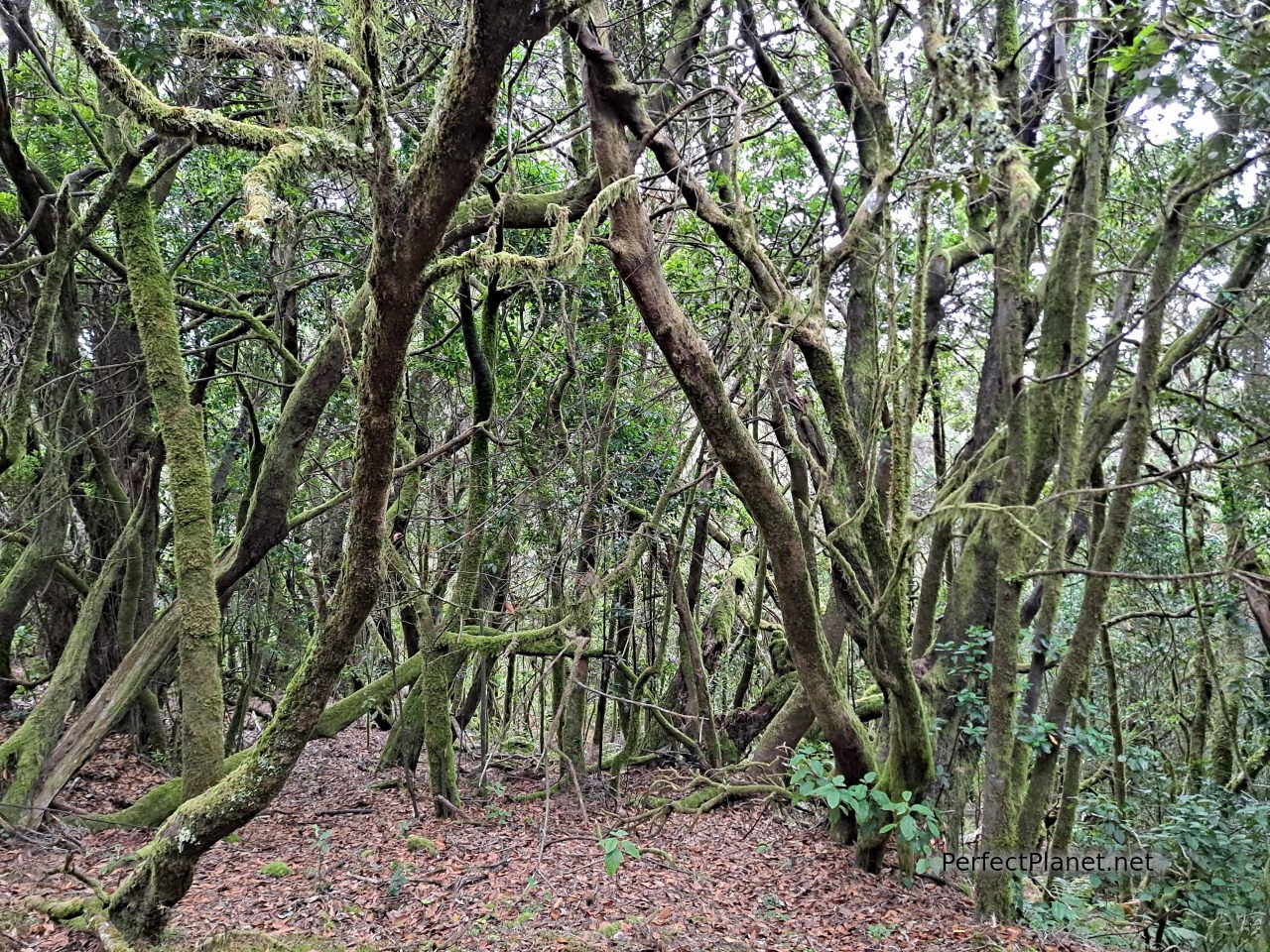
Route 18
If you only have one day to visit Garajonay and you like walking, we recommend the circular route number 18 Pajarito-El Cedro-Tajaqué-Pajarito, where you can enjoy the laurel forest, the fayal-brezal and viewpoints with spectacular views.
If you prefer to walk less or have less time, we recommend route number 12, Raso de la Bruma-Risquillos de Corgo, which is one of the most spectacular and will only take you half an hour.
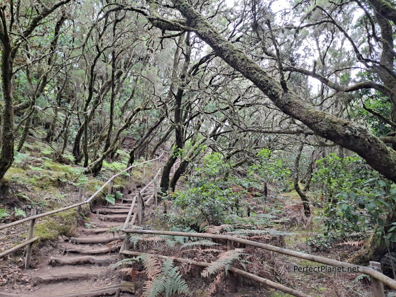
Laurel forest
How to get to the Park. If you don't have your own vehicle, other options are by taxi or public transport, bus line 1 has several stops in the Park. For more information see here.
We start the route from the Pajaritos car park in the direction of Alto de Garajonay, 2.2 km away. The Alto de Garajonay at 1,485 metres is the highest point on the island. It has a viewpoint with exceptional views of the Park and even of the island of La Palma and Tenerife. It is difficult as there is no fog so you may have to go back up to enjoy the views, that happened to us and it is worth it.
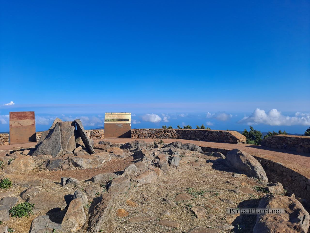
Alto del Garajonay
Alto del Garajonay
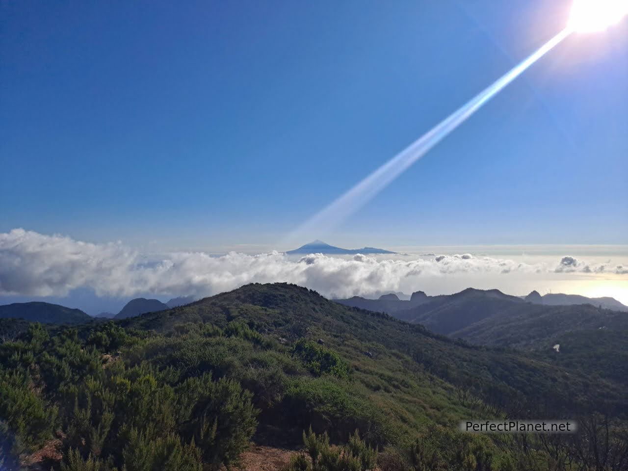
Views from Alto del Garajonay
Even if you don't do route 18 in its entirety, you can climb up to the Alto de Garajonay following the indications of linear route 17 or combine it with other routes.
Following the signs for trail 18, we continue to the Contadero car park. Here the path enters a much more enclosed forest, magical, fairytale-like, and we can't stop taking photos.
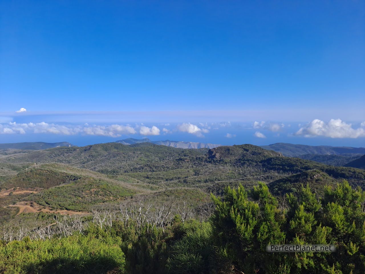
Views from Alto del Garajonay
The path reaches the area of Las Mimbreras. From here to the hermitage of Lourdes. The forest is changing and we find cedar trees next to the laurel forest.
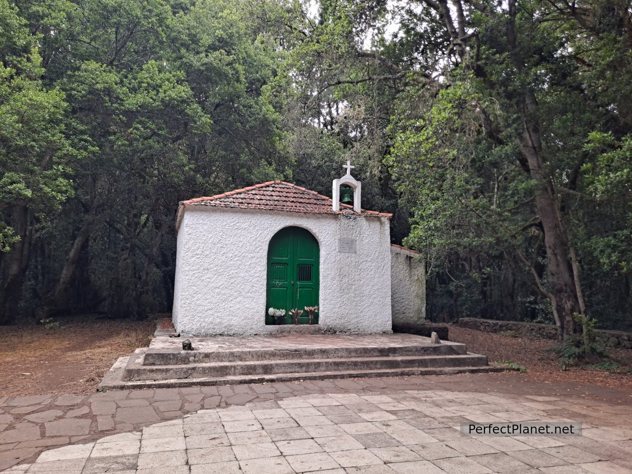
Hermitage of Lourdes
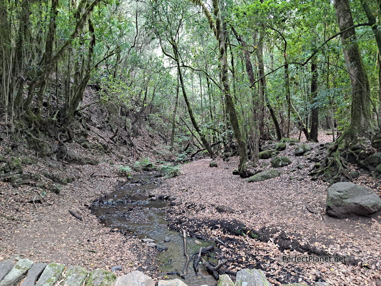
The Cedars
The route continues to Cedar house where there is a recreational area. Here you can take a detour (as we did) to the Chorro of El Cedro, a spectacular waterfall, one of the most beautiful and highest in the Canary Islands (although you have to descend quite a way down towards Hermigua). To continue along path 18 you can either go through a tunnel of about 500 metres, with no electricity and knee-deep mud and water, or follow the path.
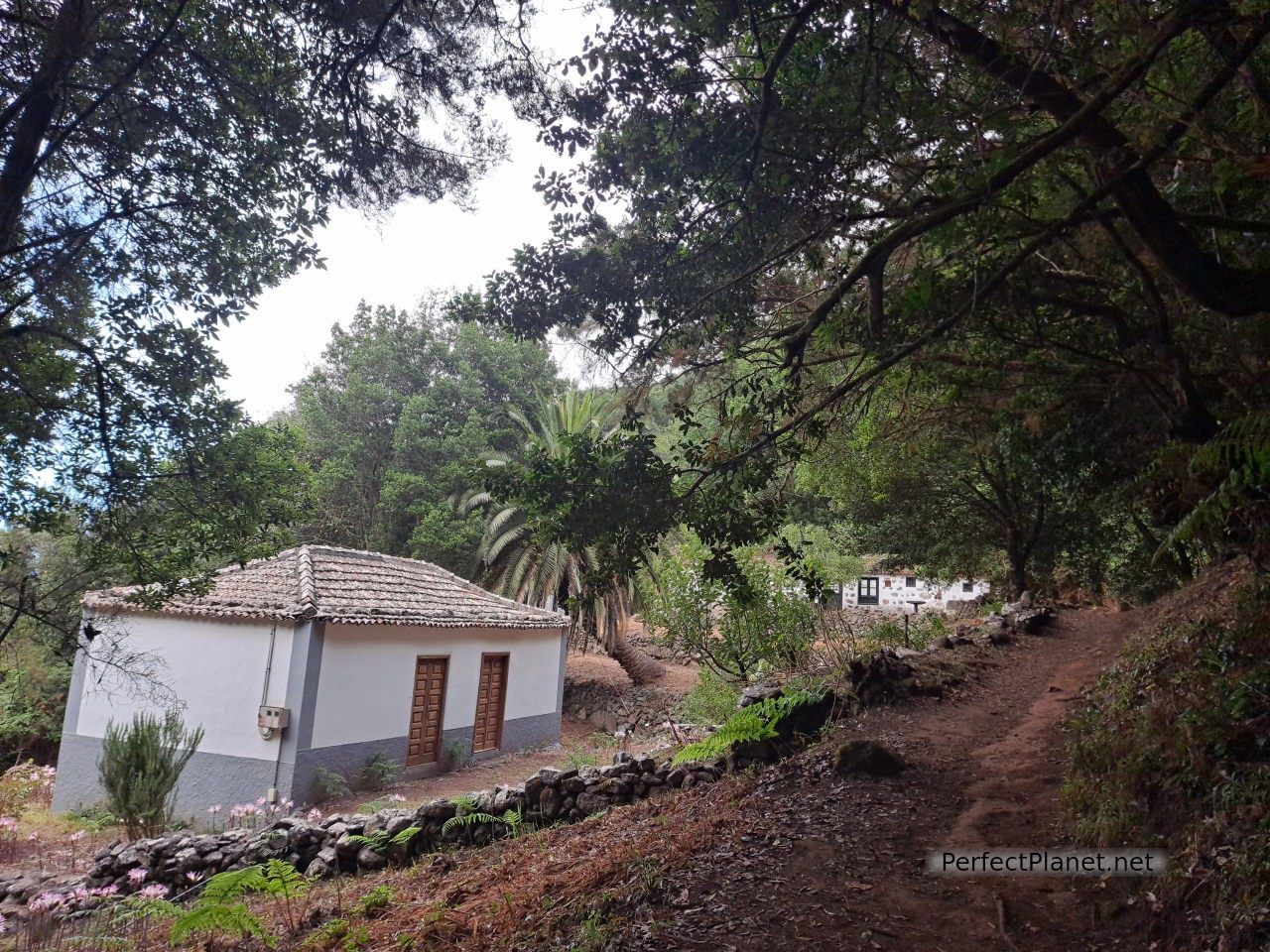
Cedars house
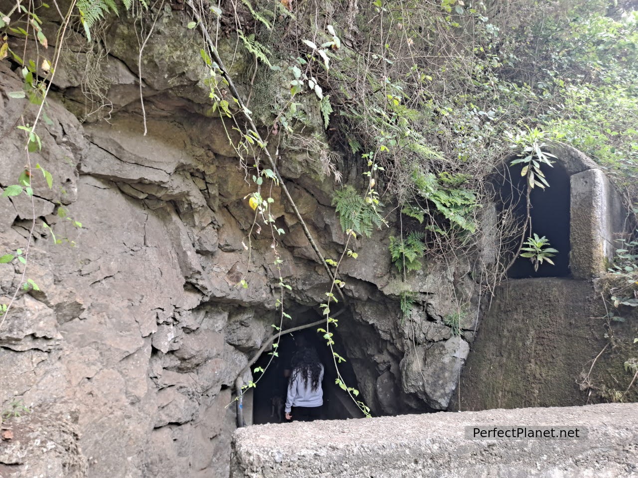
Tunnel
We continue along path 18 until we reach the area of the Reventón Oscuro and the viewpoint of the Bailadero, where the forest becomes denser again, dreamlike.
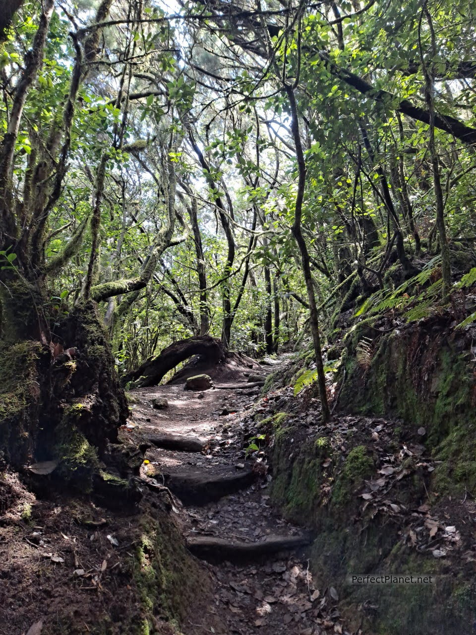
Laurel forest
Several viewpoints ( Roques, Morro de Agando) offer impressive views of the south of the island. Imposing ravines, rocks and more arid areas where the fog does not reach.
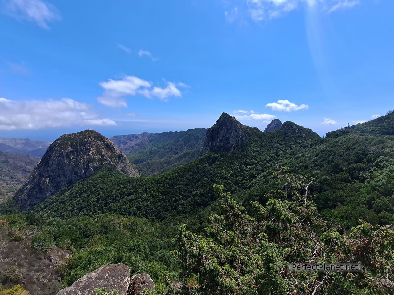
Views from viewpoint of Los Roques
We continue to the Morro de Agando viewpoint, on which a structure has been built to improve the views. It is common to see lizards, especially in this less wooded area.
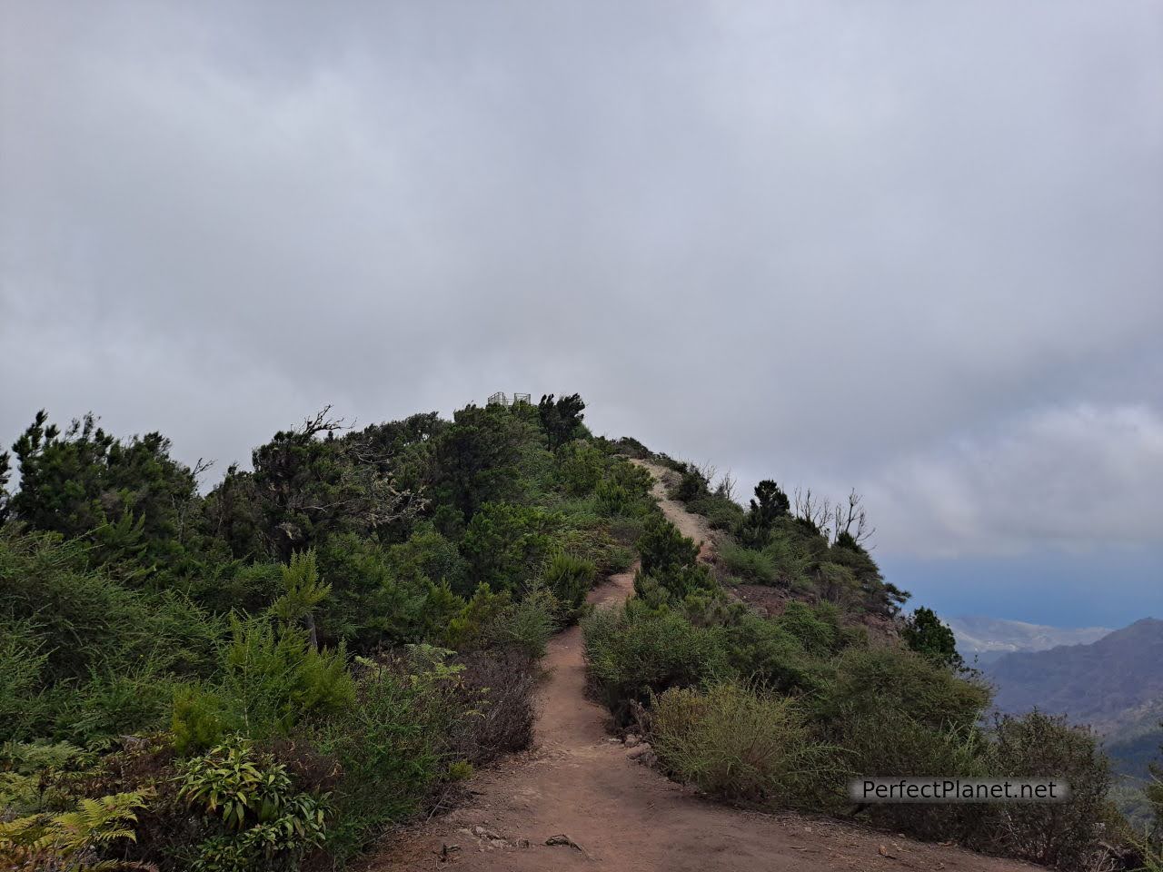
Viewpoint Morro de Agando
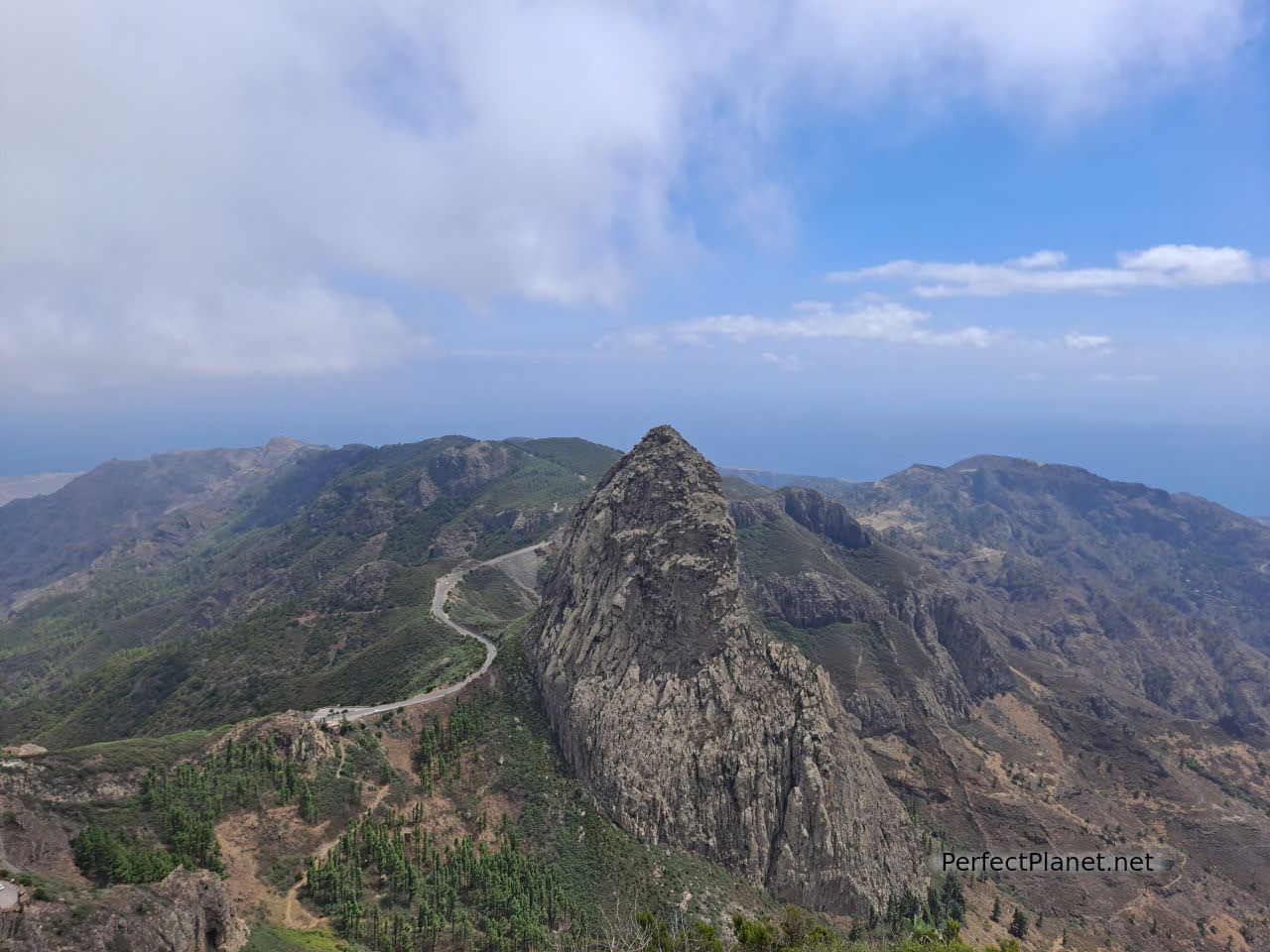
Views from viewpoint Morro de Agando
We cross a bridge and continue on to the Tajaqué viewpoint. From here it is only two kilometres to return to Pajaritos and complete route 18.
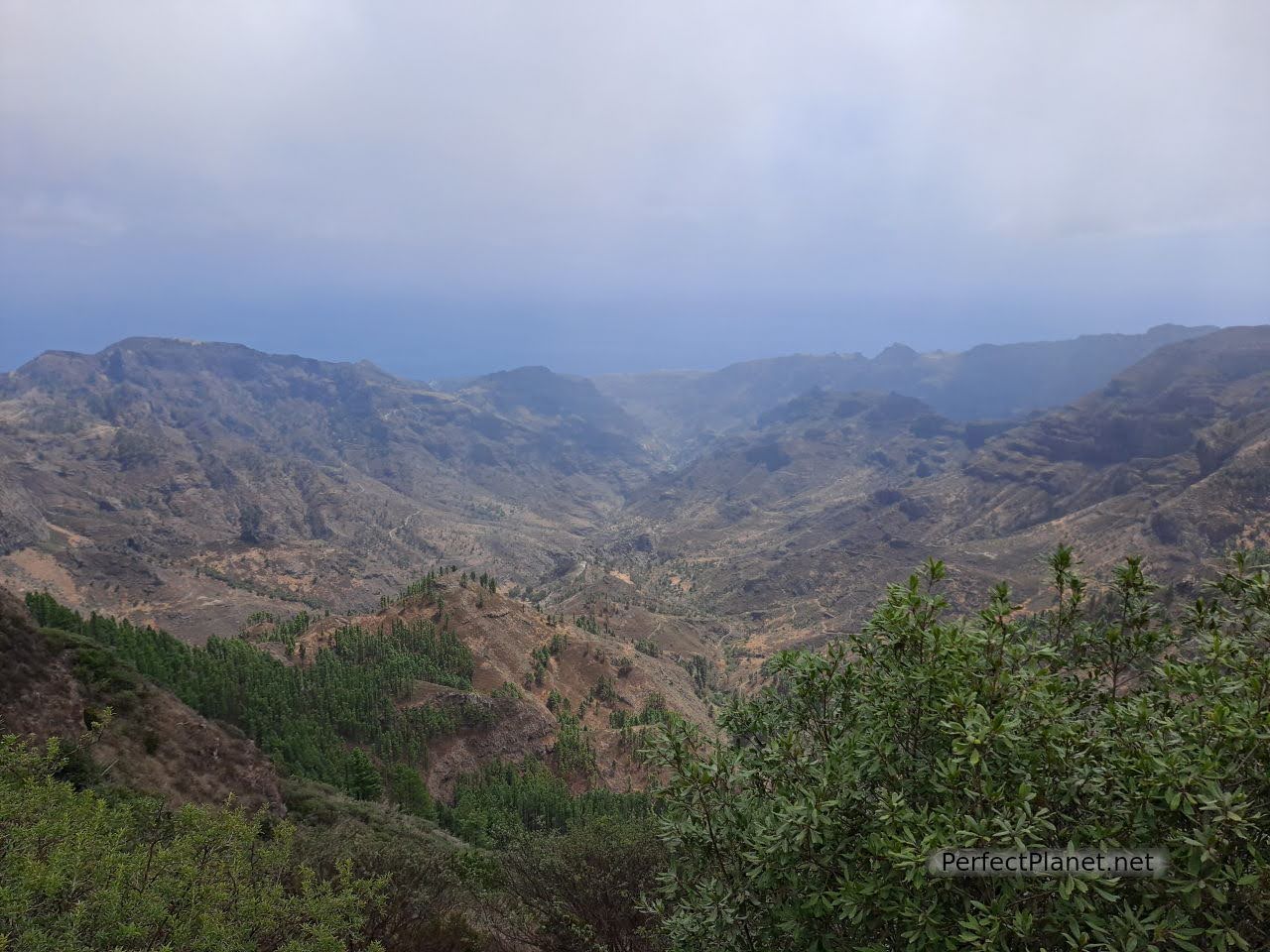
Views from viewpoint of Tajaqué
Wikiloc
Type of route: circular.
Difficulty: moderate.
Distance: 18 kilometres.
Difference in altitude: 800 metres.
If you prefer a shorter route or you don't have enough time, you should definitely walk along the route 12 Raso de la Bruma - Risquillos de Corgo, which you can do in a circular route. It is impressive.
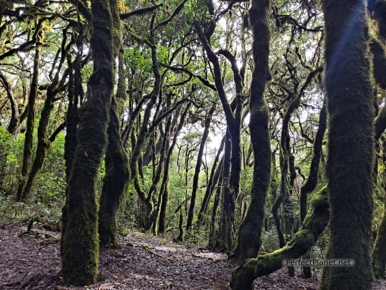
Raso de la Bruma
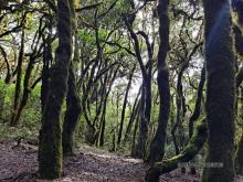
The entire trail runs along the northern side of the park. A magical, fairytale forest, with trees full of lichen like huge beards hanging from their branches. I have no words to describe it, you have to experience it.
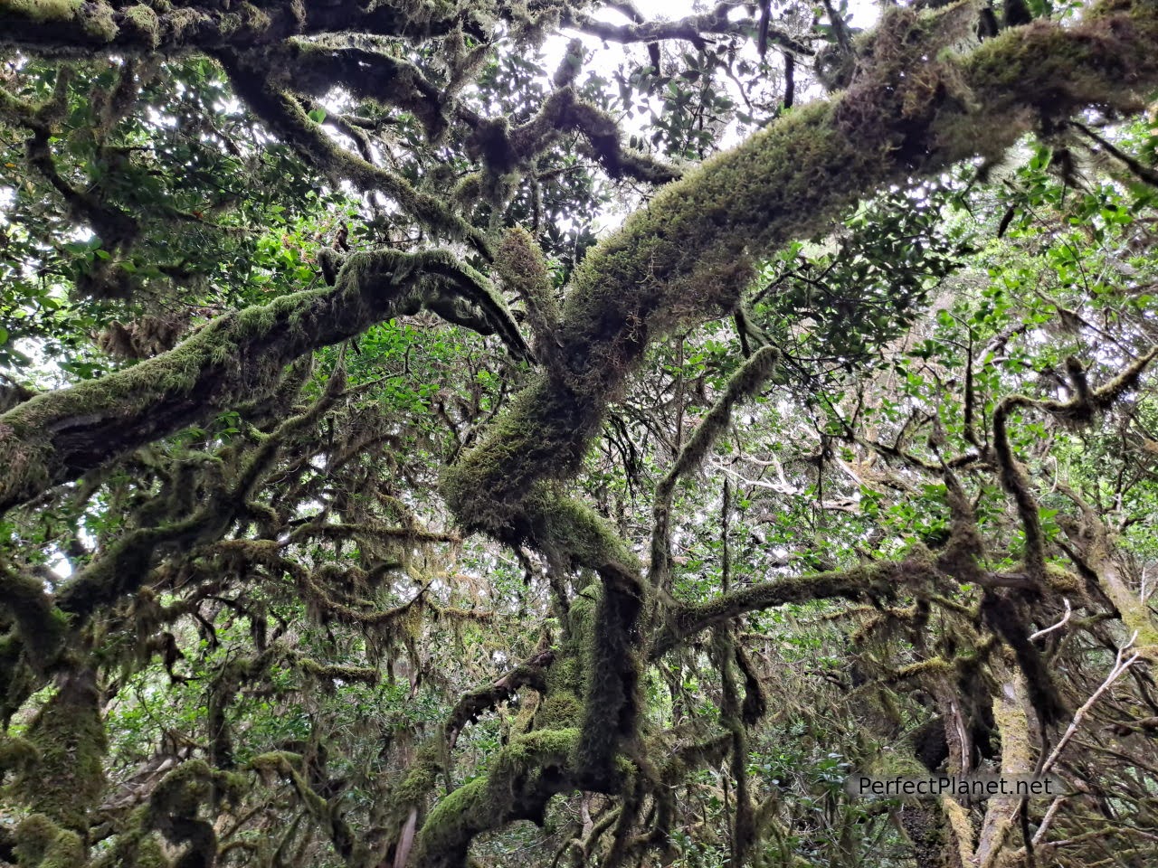
Raso de la Bruma
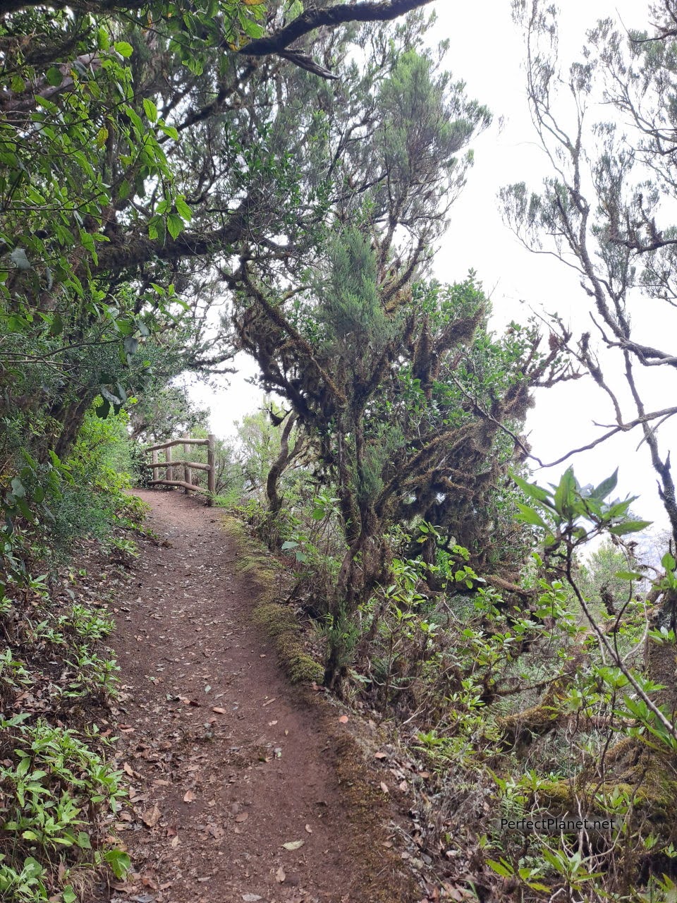
Raso de la Bruma
As well as offering spectacular views of the northern part of the island, you will not find too many people, a luxury in the park.
We recommend that you take warm clothes with you, as the temperature changes significantly as you go deeper into the forest.
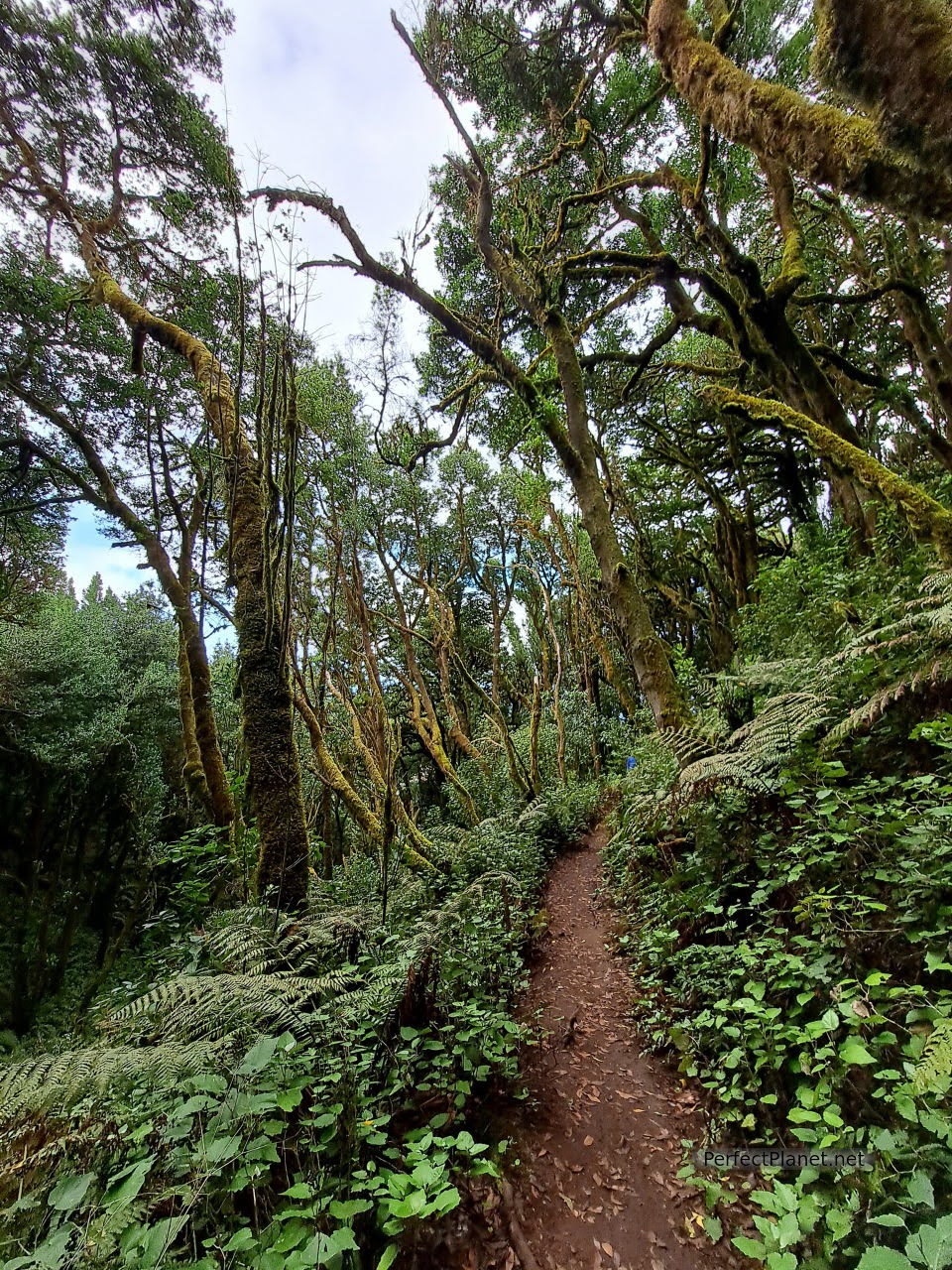
Raso de la Bruma
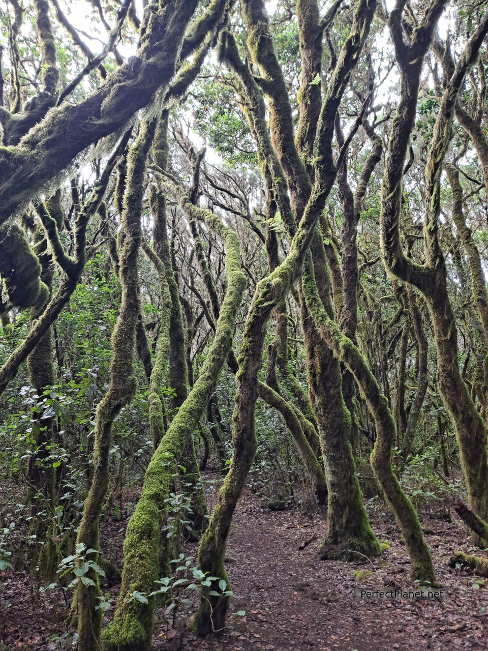
Raso de la Bruma
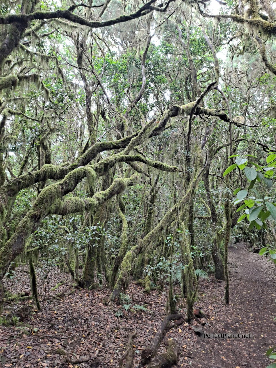
Raso de la Bruma
It is common to see birds such as finches, pigeons and sparrow hawks nesting inside the park.
Another outstanding route that fascinated us was the route number 5 of the Creces, which we will tell you more about later.
Inside the Park there are other interesting spots such as the recreational area of the Laguna Grande. In the rainy season the interior of the lagoon fills with water and life. Tables, kitchens and even a children's playground have been built around it. From here there are interesting routes such as number 14, 6 or 3 that surround the lagoon itself.
There are also viewpoints accessible from the road, such as the Roque viewpoint or the Rejo viewpoint, the latter offering a spectacular panoramic view of the Hermigua ravine.
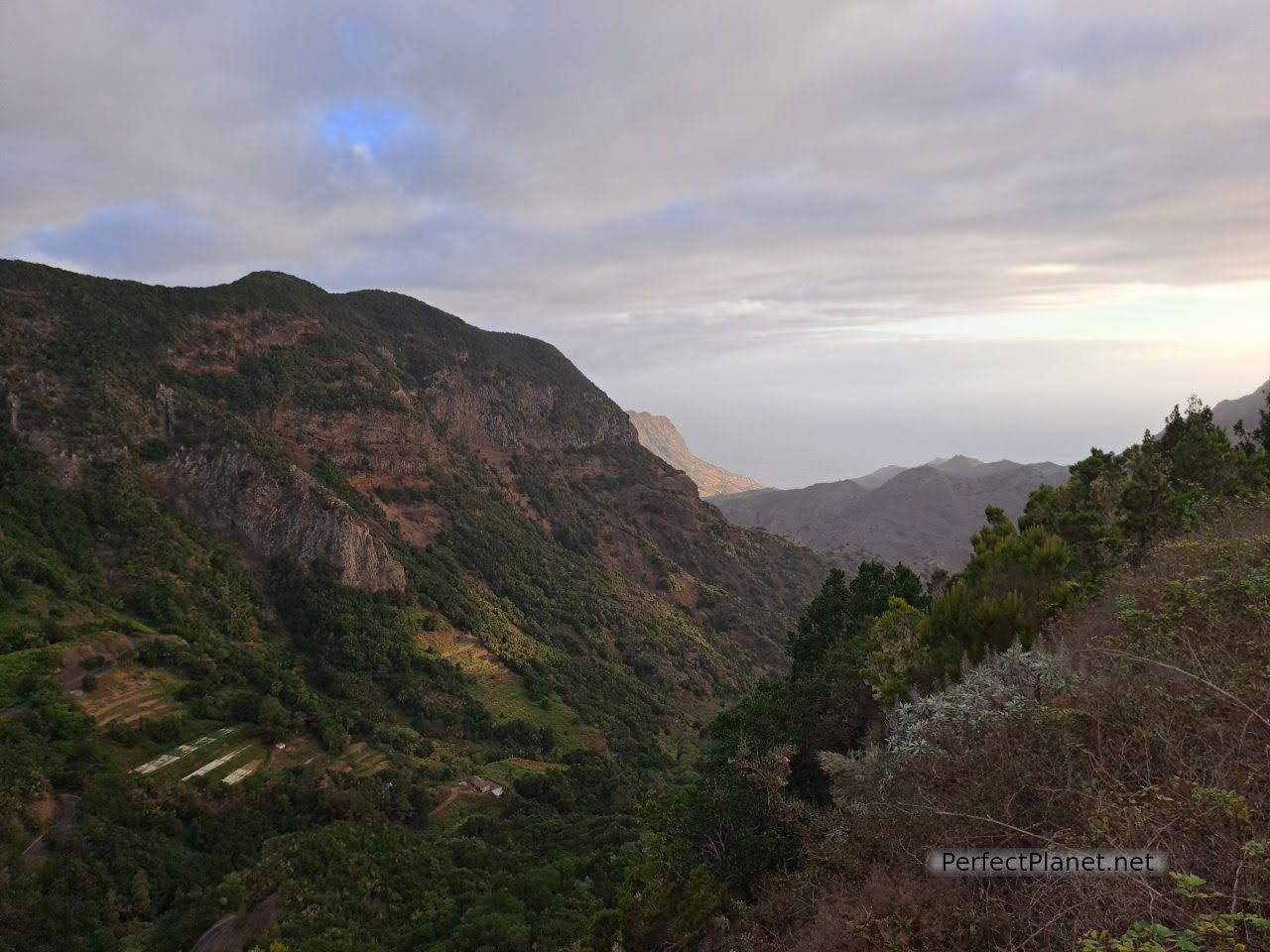
Rejo viewpoint
Trail number 5 of the Garajonay National Park, known as Las Creces, is a spectacular trail that crosses the laurel and fayal-brezal forest to the Gomeran town of Las Hayas.
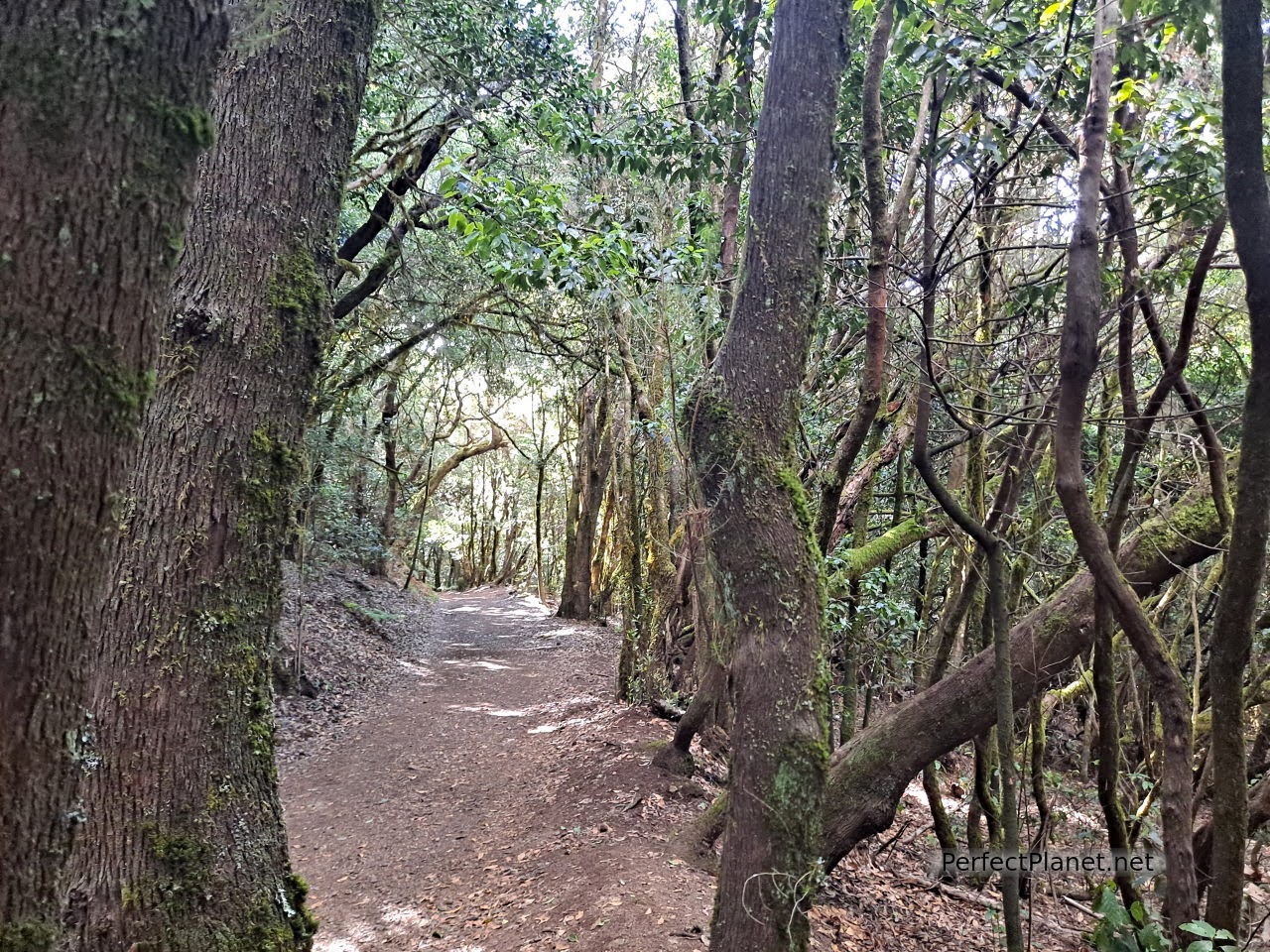
Las Creces
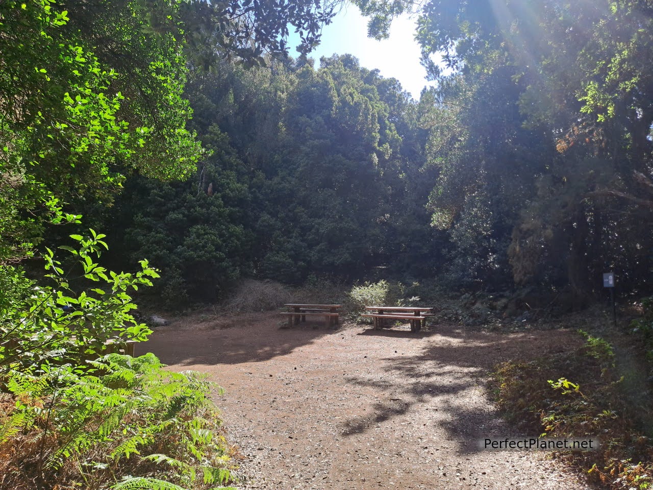
Las Creces
We start the trail at the Las Creces car park, which is located past the recreational area of La Laguna and before the Raso de la Bruma. The car park is small, so we recommend getting up early.
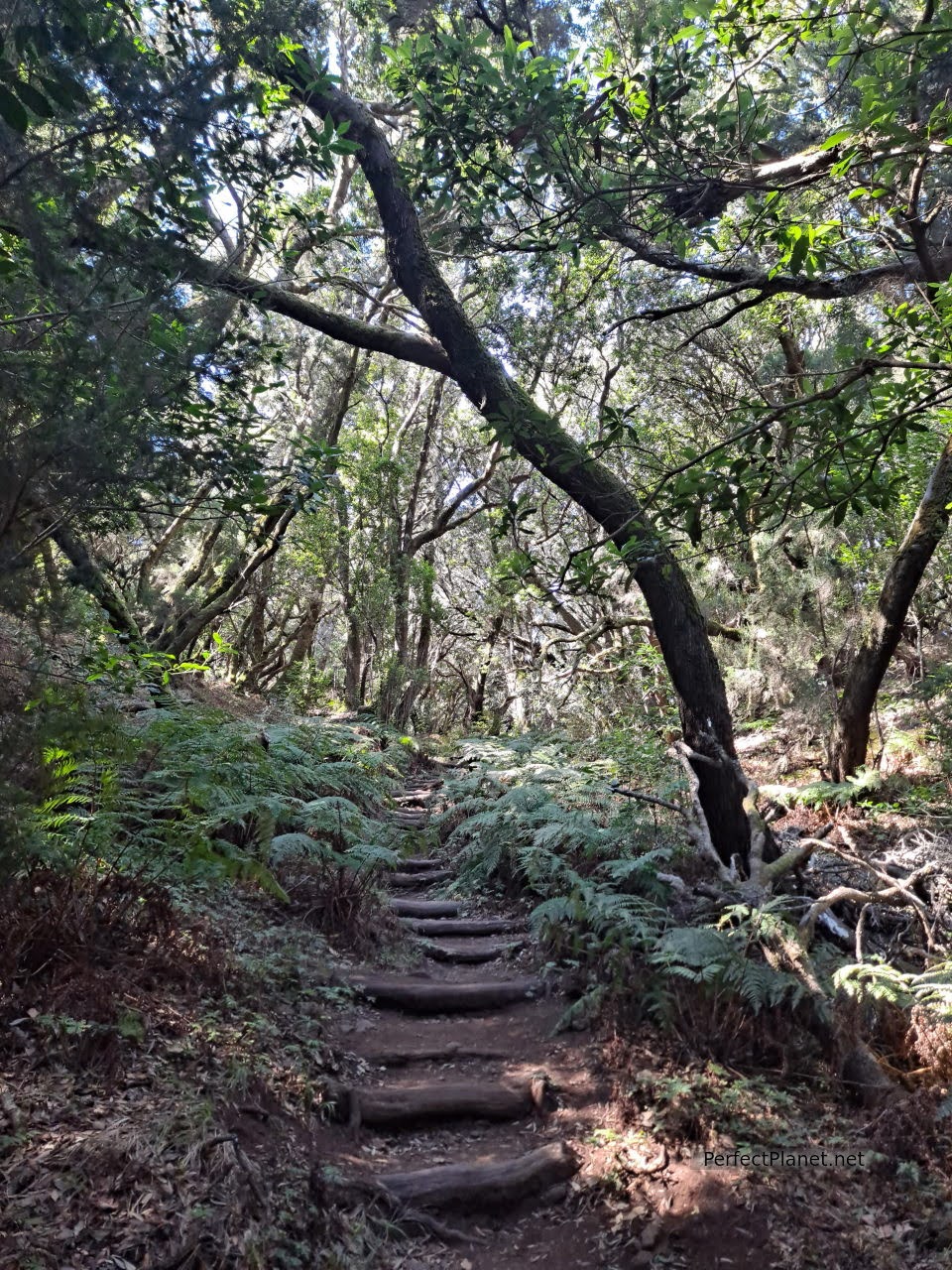
Las Creces
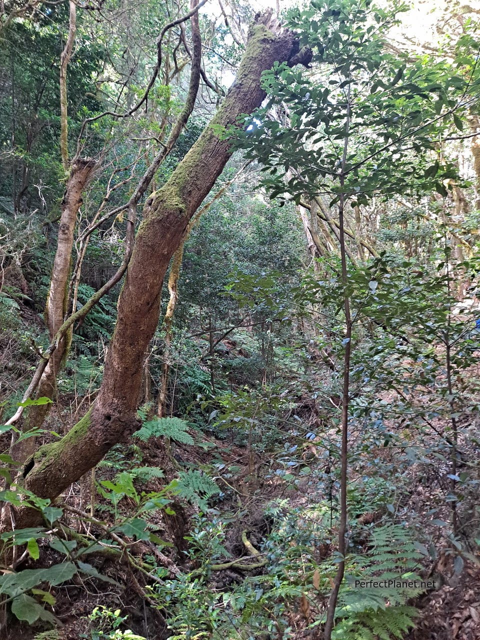
Las Creces
The path crosses a beautiful laurel forest where different species of trees can be seen next to a stream. In just two kilometres the vegetation gives way to a small pine and palm grove surrounded by vineyards and fruit trees, which will take us to the Gomeran town of Las Hayas, where we recommend the Casa Efigenia restaurant.
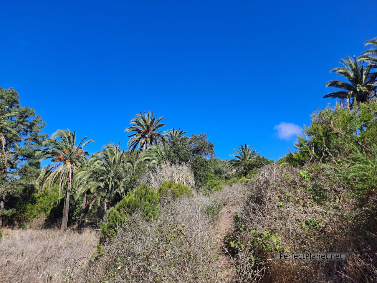
Las Creces
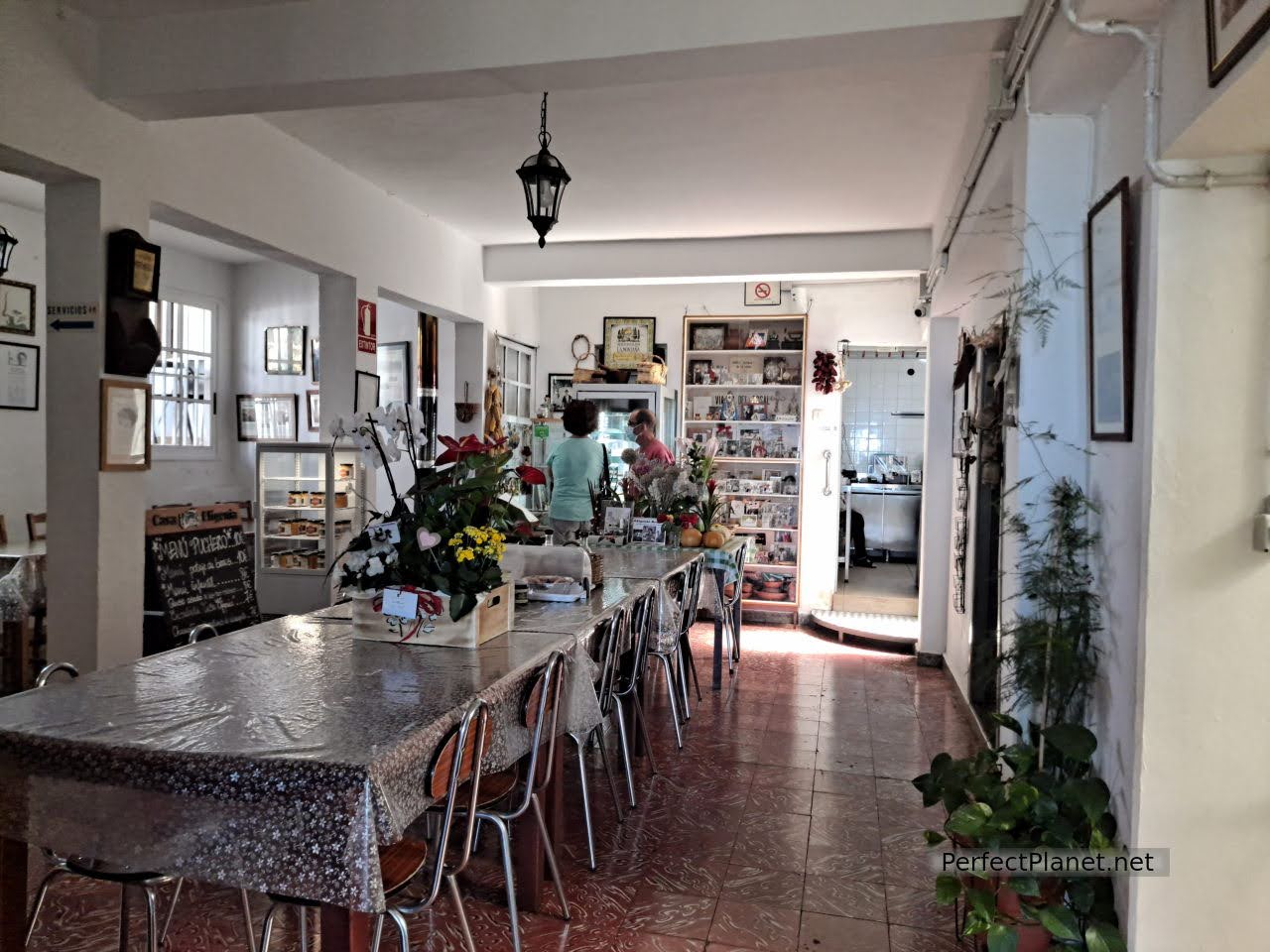
Casa Efigenia restaurant
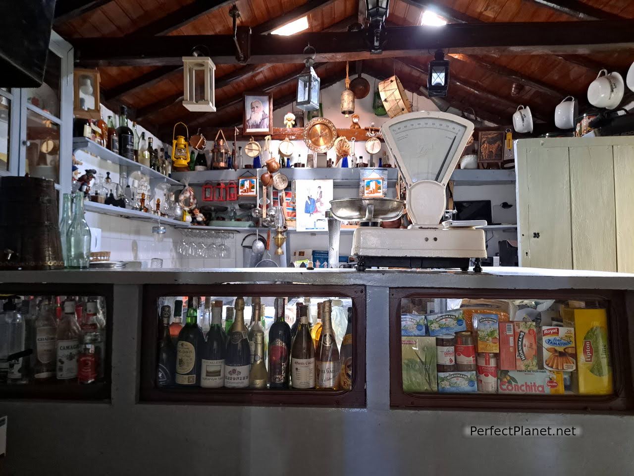
Casa Efigenia restaurant
Not only is it a picturesque place that takes you back in time, the homemade and traditional Gomeran food justifies a stop, even if you just stop for a drink. Good price and quality.
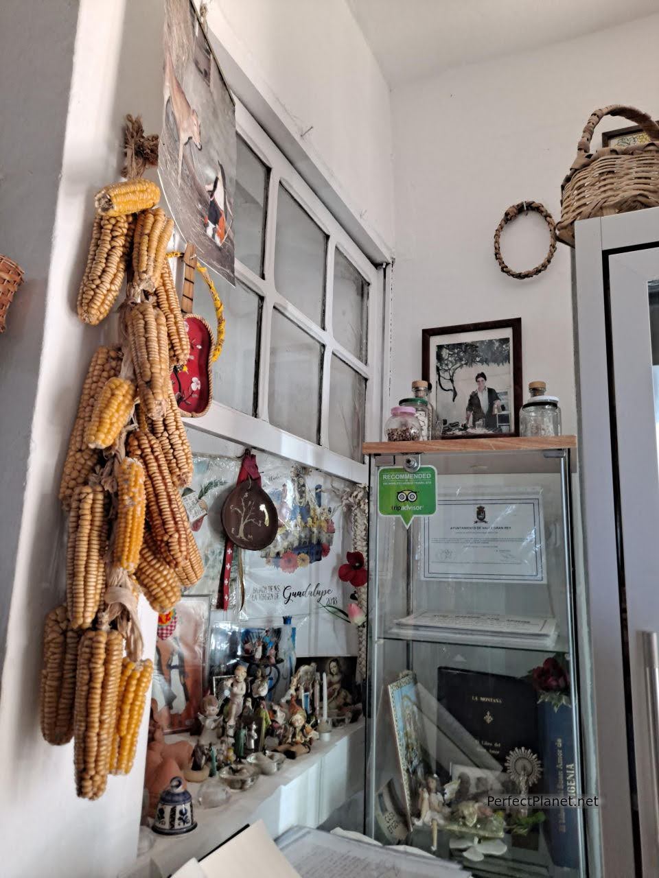
Casa Efigenia restaurant
We continue through the village to the church where there is a picnic area and kitchens. If there is one thing that stands out on these islands, it is the number of eating areas and kitchens, all very well kept and in good condition, how marvellous.
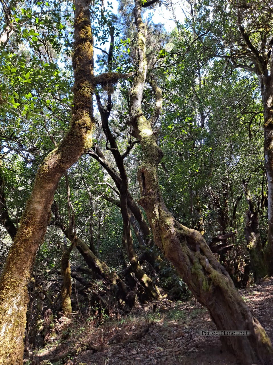
Las Creces
We leave the village and return to the forest. Although it is hot, the density of trees is such that you feel very cool.
We continue along the path to the initial table area and from here to the car park.
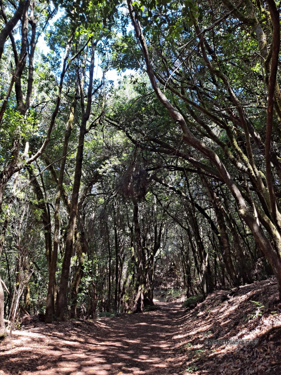
Las Creces
Wikiloc
Type of route: circular.
Distance: 5 kilometres.
Difficulty: low.
Day 3. Fountain of Epina, Alojera, Hermita del Santo viewpoint, viewpoint of La Retama, of Palmarejo, of Curva del Queso, Valle Gran Rey, Organos Natural Monument.
For this day we propose a trip along the south and west coast of the island of La Gomera.
First stop Chorros of Epina. This is a fountain with seven spouts to which magical properties are attributed. Legend has it that depending on whether you are a man or a woman, you should drink from the odd or even spouts to be lucky in love.
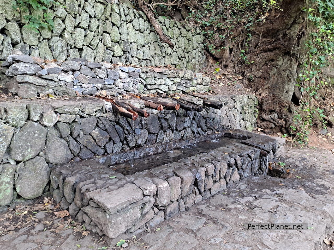
Fountain of Epina
It belongs to the municipality of Vallehermoso in the northwest of the island, on the GM-1 road. From the car park you have to walk about five minutes to the hermitage of San Isidro Labrador along a wide path, and a hundred metres further on you will find the fountain. Accessible with children.
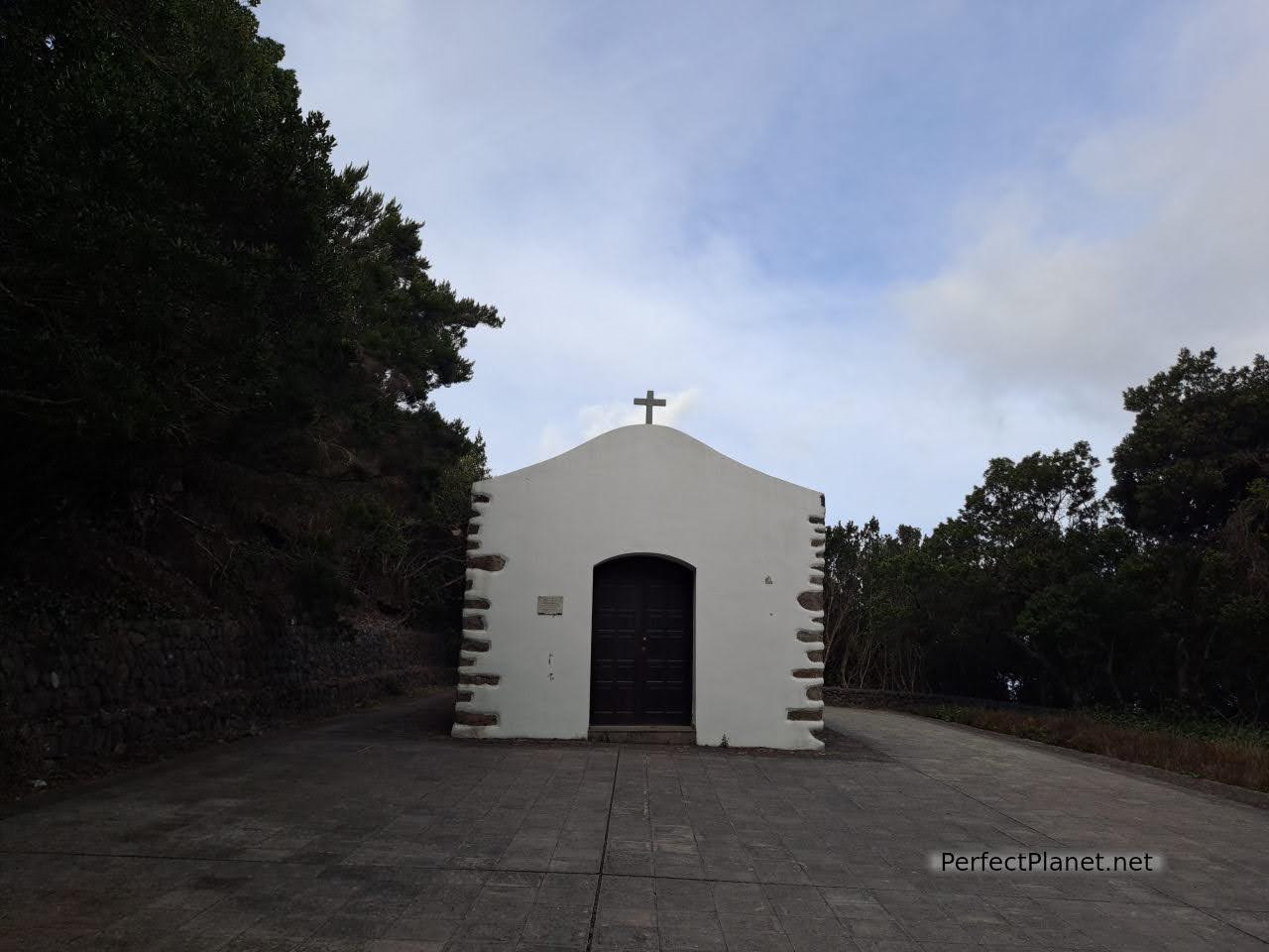
Hermitage of San Isidro
Going down the CV16 through the Mono ravine you reach the village of Alojeras, where you can enjoy a spectacular landscape of palm trees and the Museum dedicated to the palm honey.
The Gomeran people used to take advantage of the palm tree. The leaves and dates were used for animals and the sap was used to make guarapo, from which honey, orujo and even wine were obtained. In order to extract the guarapo, the plant is not harmed, a few cuts are made in the upper part and after the night the palm tree is able to provide up to 10 litres of guarapo without the plant drying out.
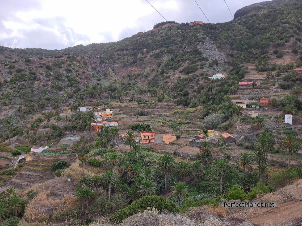
Alojera
The island of La Gomera suffered greatly in the post-war period and the islanders had to find their own way to obtain food from what the land gave them. Thus, the products obtained from the palm trees, the fruit of the prickly pear cactus or the gofio made from corn and even the fern, together with goat's cheese, became the basic products of the Gomeran diet.
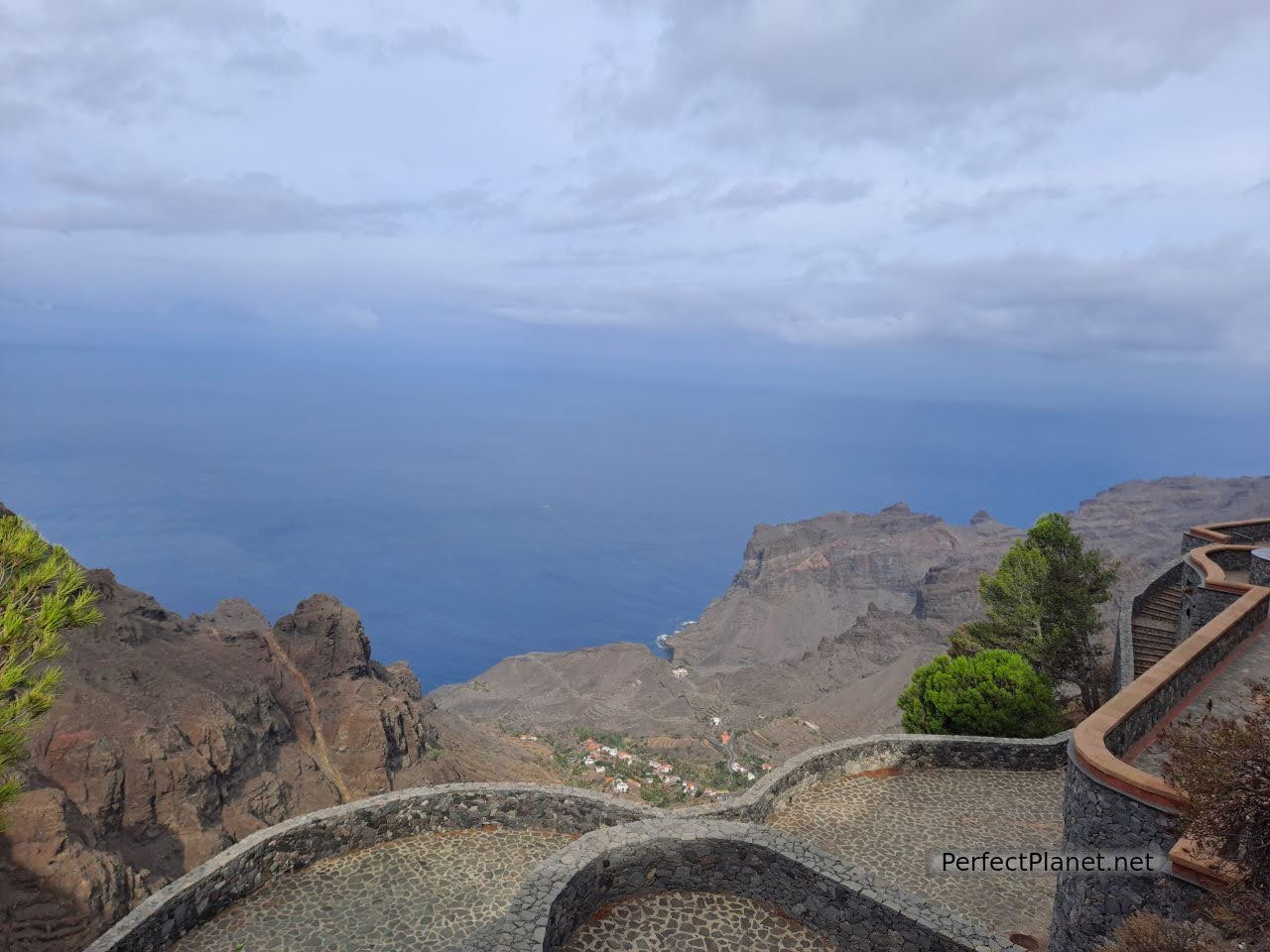
Viewpoint hermitage of Santo
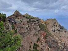
Continuing along the GM1 towards the south is the town of Arure. There are several viewpoints on this road, but the Hermitage del Santo viewpoint is a must on the island. It is a small chapel located within the Lomo del Carretón Natural Monument. It offers impressive views of the Taguluche ravine, the Correderas and Vueltas roads. Spectacular.
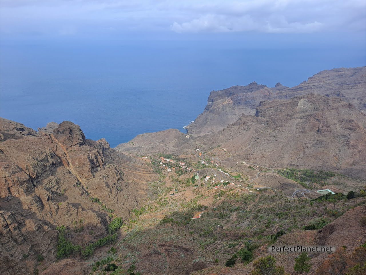
Taguluche ravine
If you have the opportunity, we recommend you take this circular route outside the Garajonay National Park, which links the viewpoint with Taguluche. Seven kilometres and 1,200 metres of elevation gain.
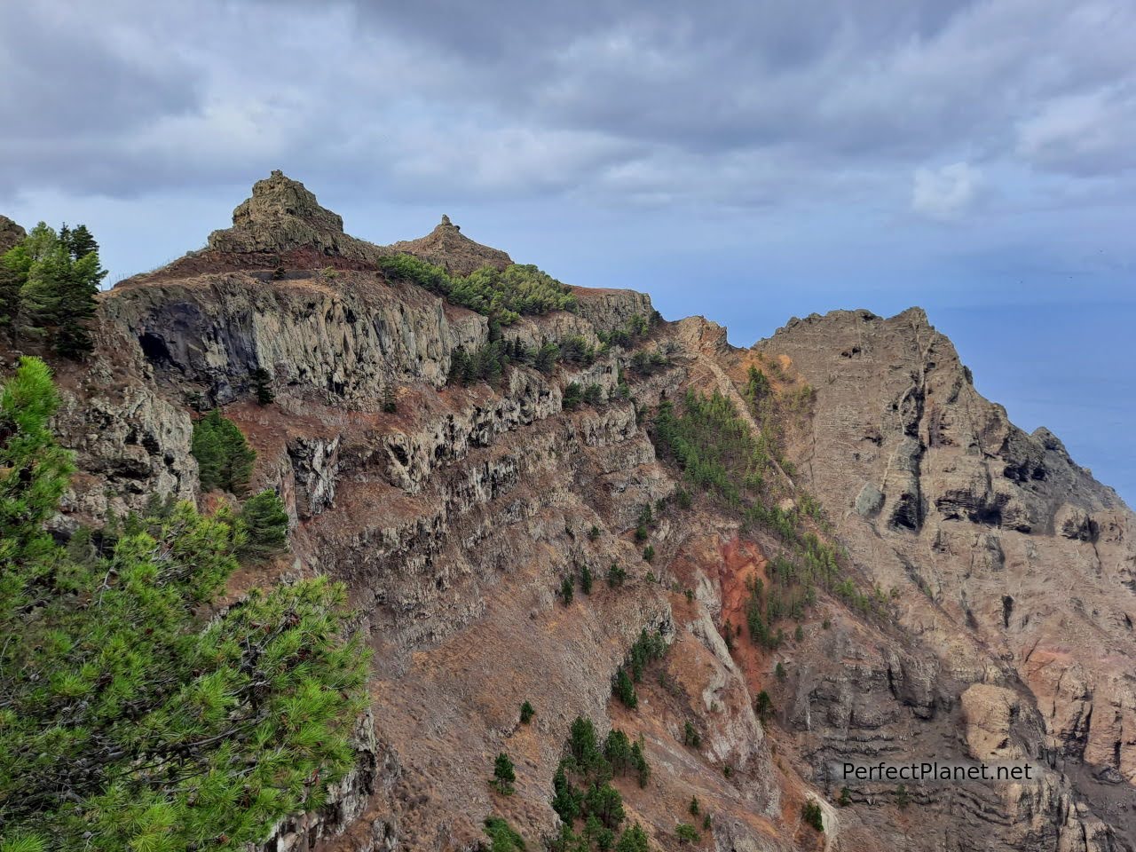
Views from the viewpoint
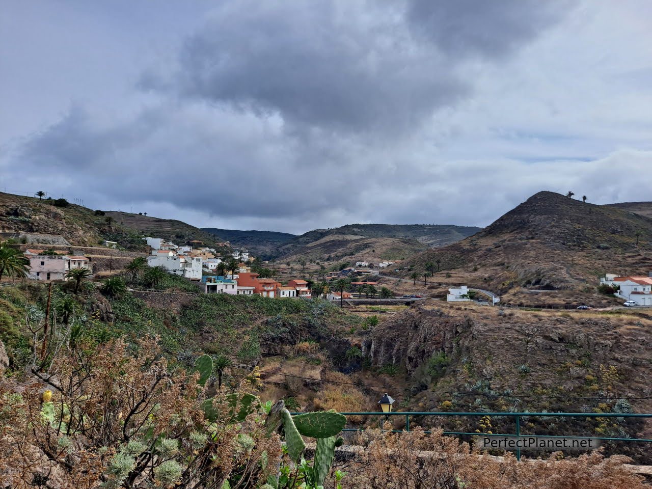
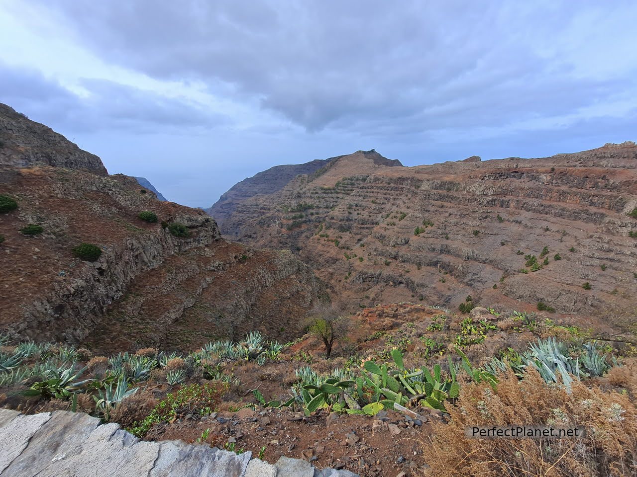
From Arure to Valle Gran Rey there are several interesting viewpoints, such as the Retama viewpoint, the Curva del Queso viewpoint and El Palmarejo.
Arure
Retama viewpoint
Curva del Queso viewpoint
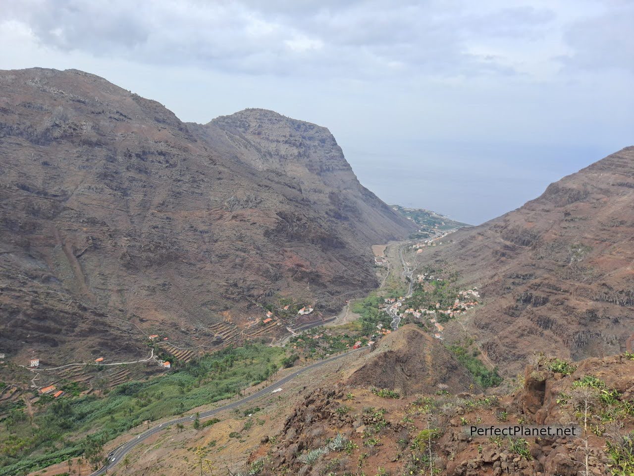
The latter offers views of the imposing Valle Gran Rey ravine and a garden with native plants. It is also known as the viewpoint of César Manrique, the famous Canarian architect who designed it. Although the restaurant is closed, it's worth stopping and having a look.
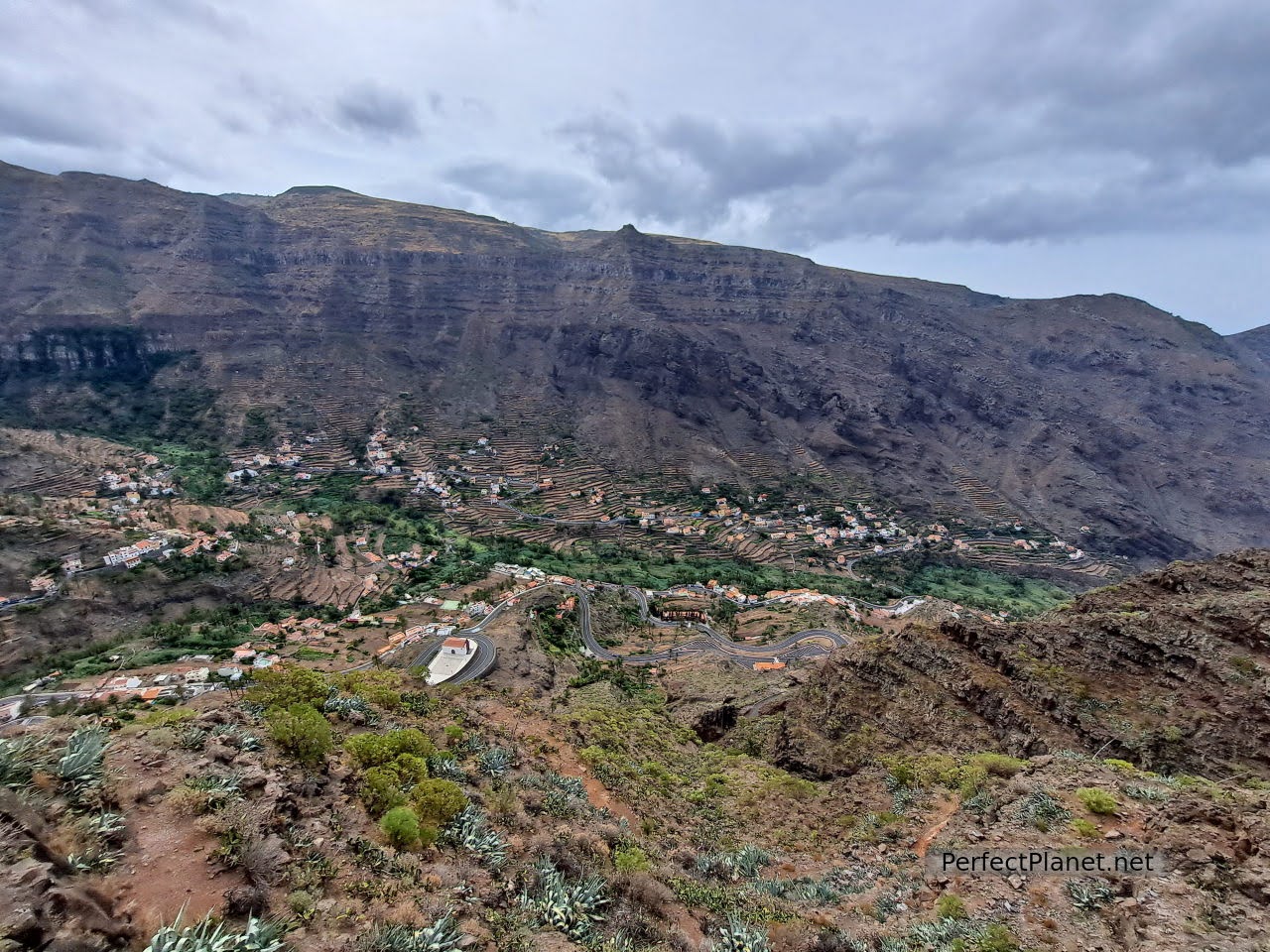
Views from El Palmarejo viewpoint
Valle Gran Rey is a beautiful coastal town in the south west of the island of La Gomera. It has several interesting beaches such as El Inglés (nudist beach with strong currents), Gran Rey, La Puntilla or Vueltas beach next to the harbour.
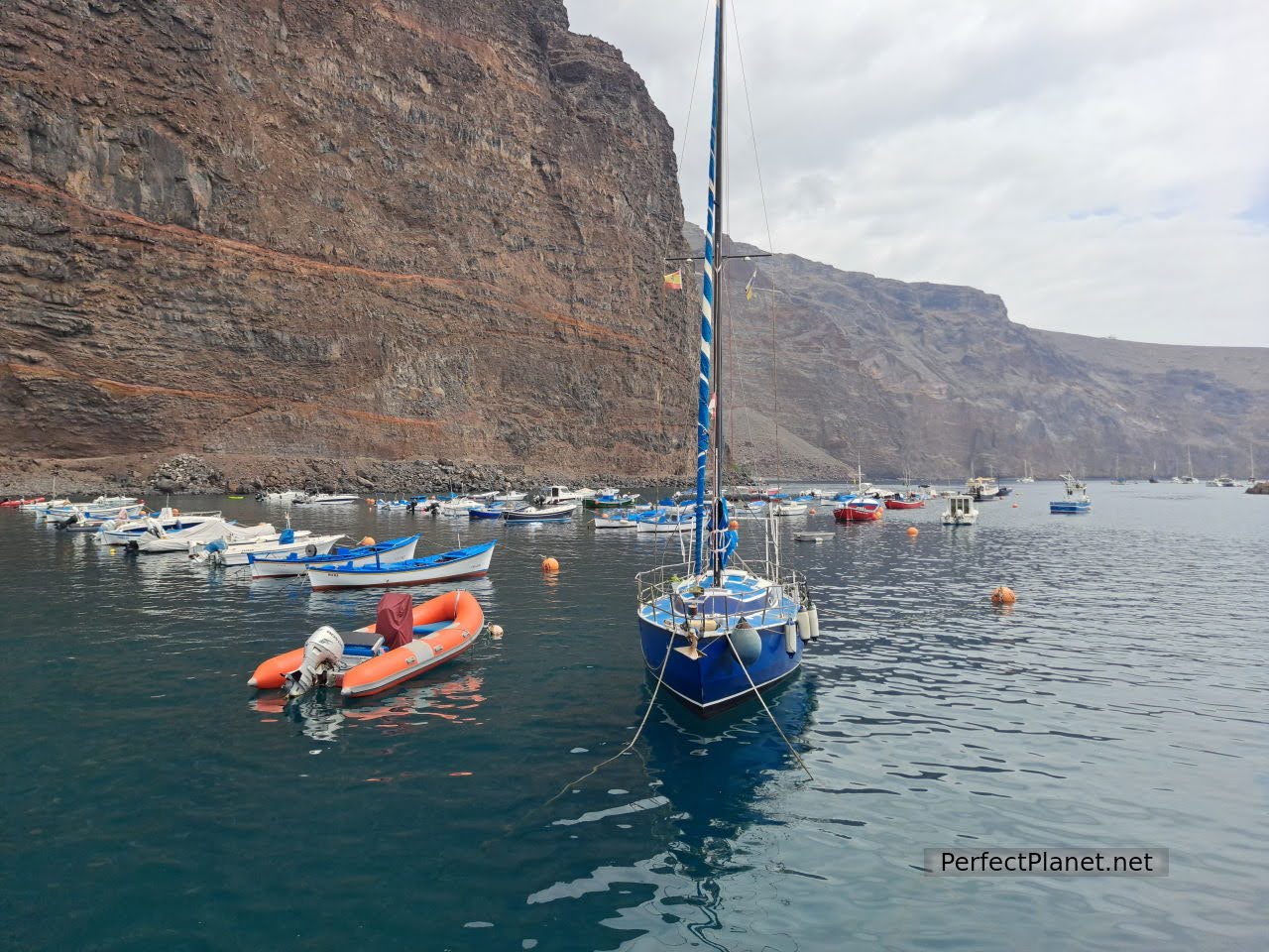
Harbour
This is where the Rebellion of the Gomeros was forged, in the 15th century the aboriginal king Hautacuperche assassinated the Castilian feudal lord Hernán Peraza, starting an indigenous rebellion against Castilian subjugation. On the beach of La Puntilla you can find a sculpture in memory of Hautacuperche.
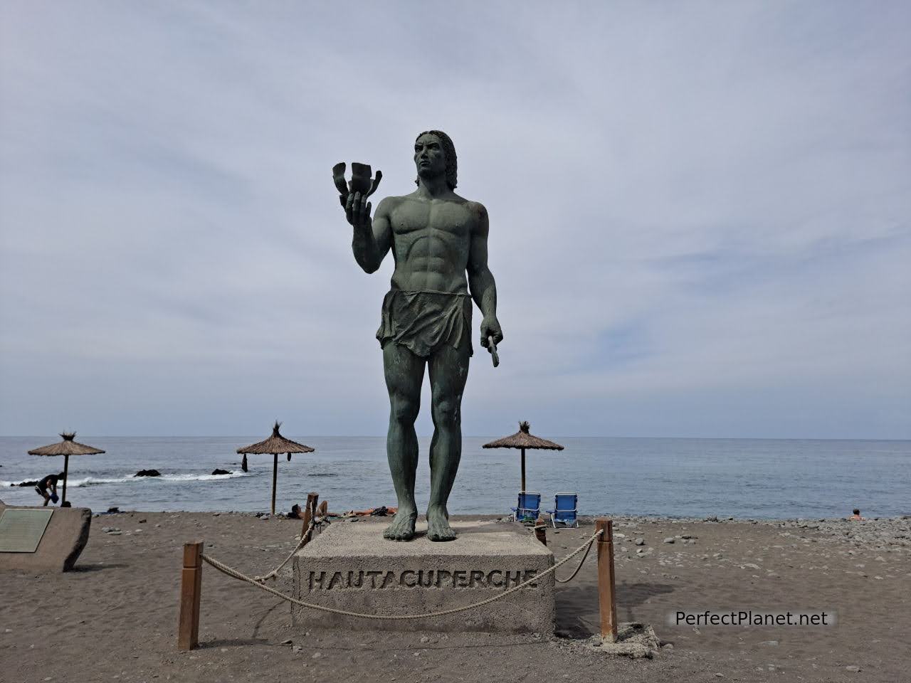
Hautacuperche
If you feel like having a drink and/or vegetarian food we recommend Noah's Ark, juices, tapas, desserts... All delicious.
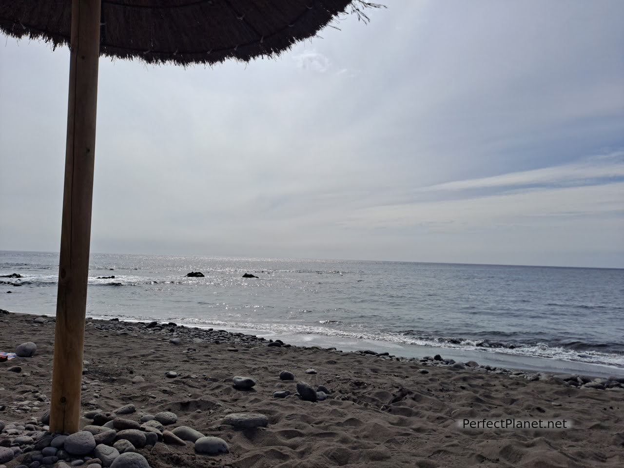
Valle Gran Rey
In Valle Gran Rey you can do many activities, the most famous of which are whale watching and a visit to the Natural Monument of Los Órganos.
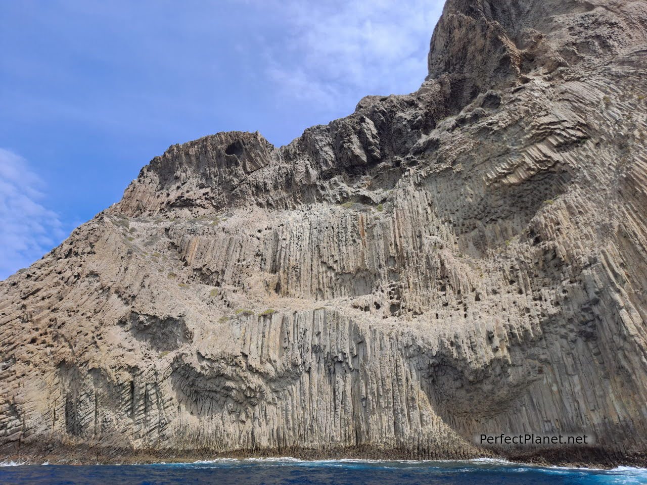
The Órganos
For both activities you have to book well in advance. There are several companies that offer these boat trips, but we decided to go for the Monumento Natural de los Órganos with Tina Tours and we really recommend it. 40€/pax, it lasts about two hours.
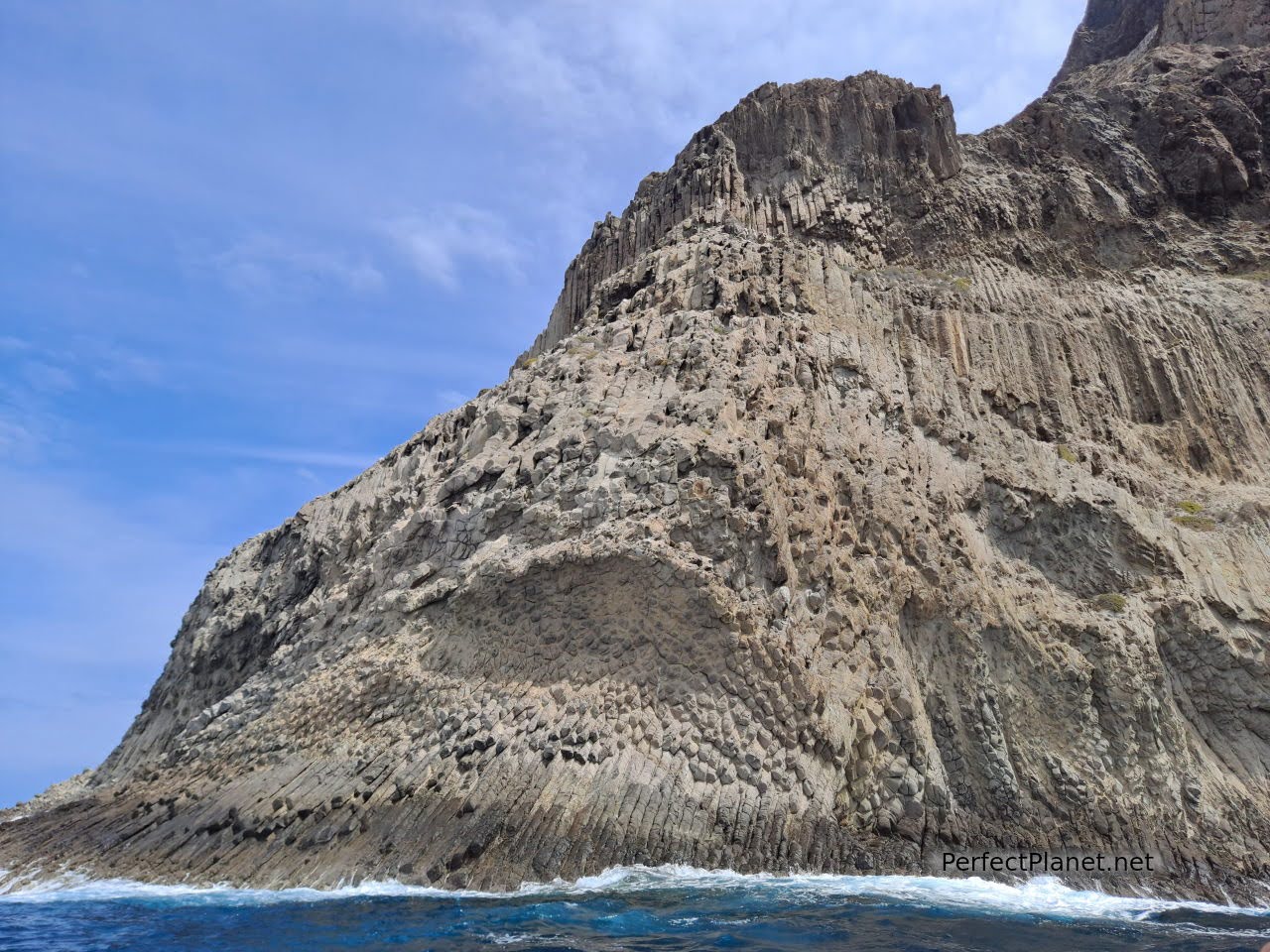
The Órganos
We sail in a zodiac or speed boat for up to twelve people. The Monument of los Órganos is located on the north coast of the island and there is no other way to get there than by boat. The problem with the north coast is that it has a very strong swell and is not always accessible, so although the boats leave from Valle Gran Rey and Playa de Santiago in the south of the island, depending on the sea conditions the boats will leave or not.
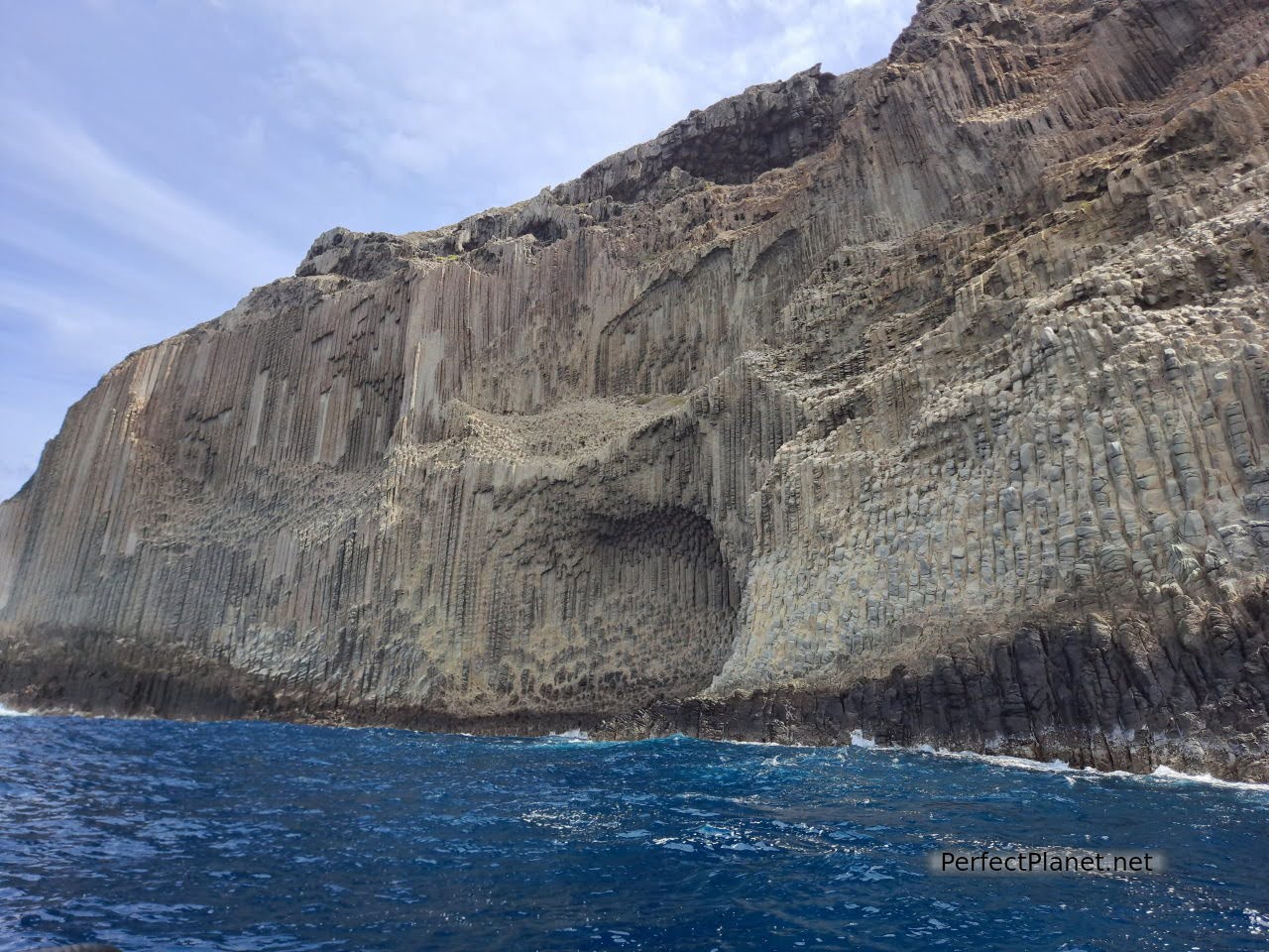
The Órganos
If you have the opportunity, don't hesitate to do this excursion. The Organos Monument is spectacular and you also have the opportunity to enjoy the entire west coast which offers beaches, cliffs and amazing jetties.
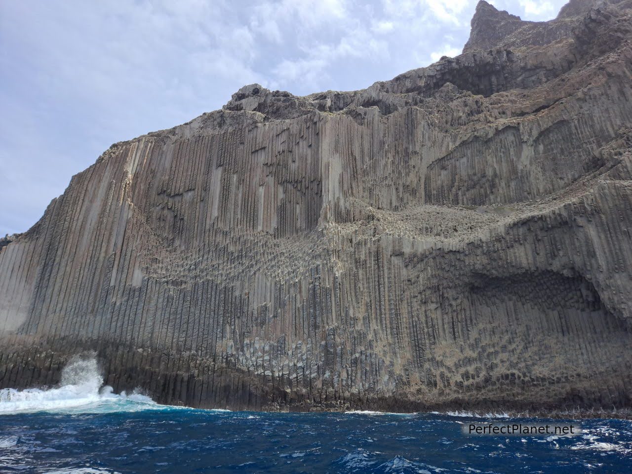
The Órganos
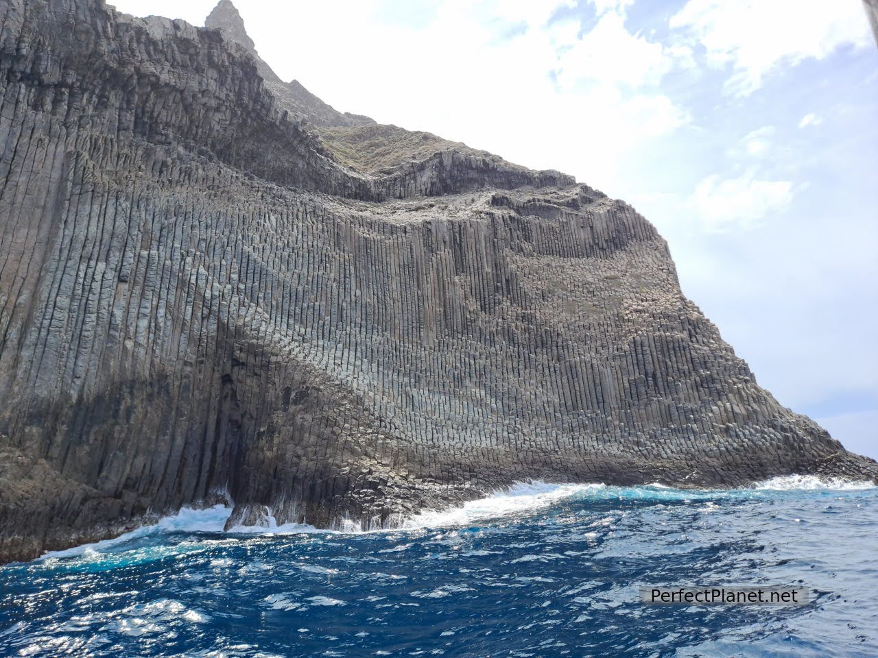
The Órganos
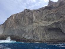
The Organos are actually a large mass of magma that never reached the surface and cooled rapidly, breaking into regular shapes. Subsequent erosion by air and water over the cliffs has helped to sculpt it. A must on the island.
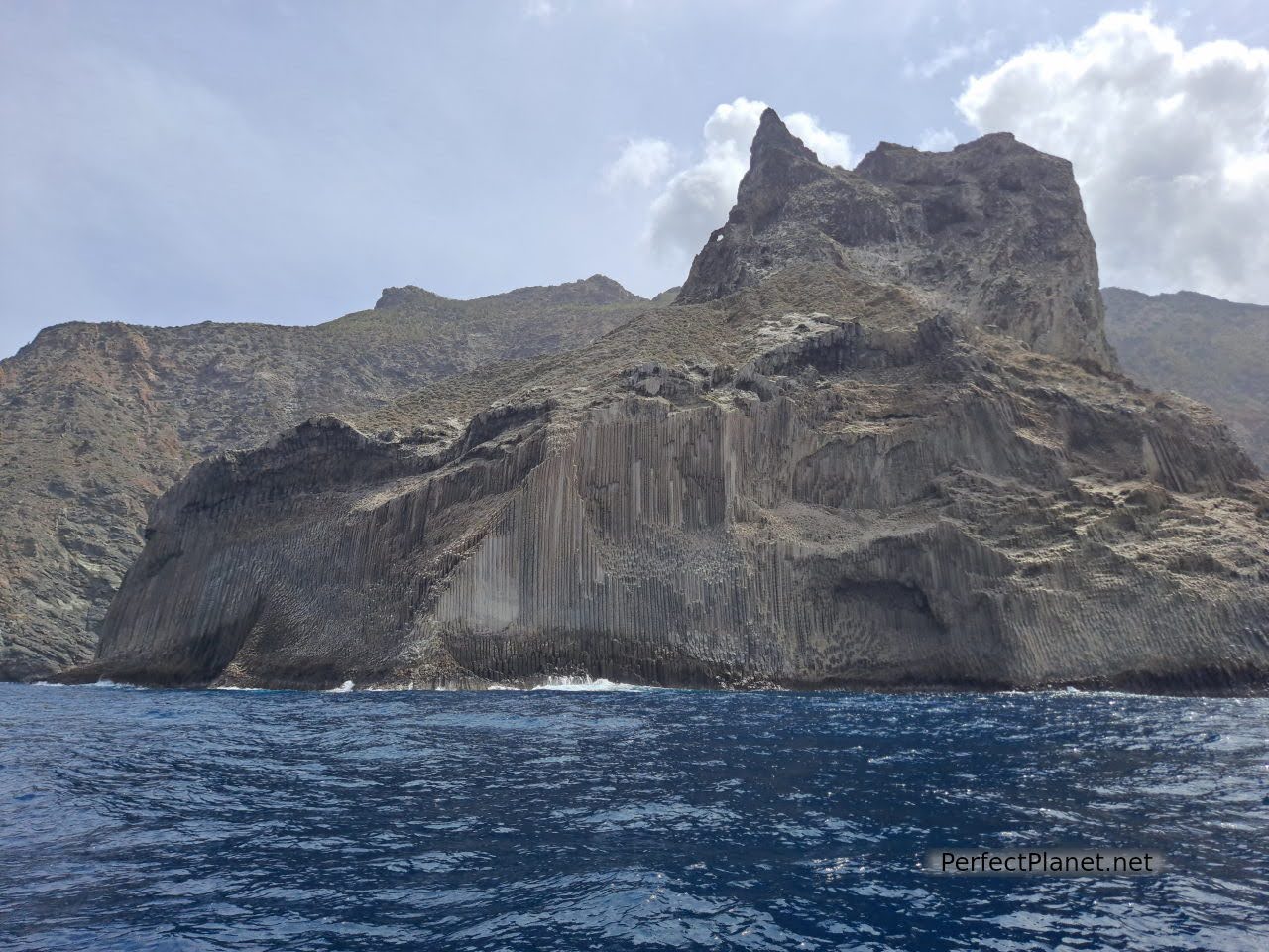
The Órganos
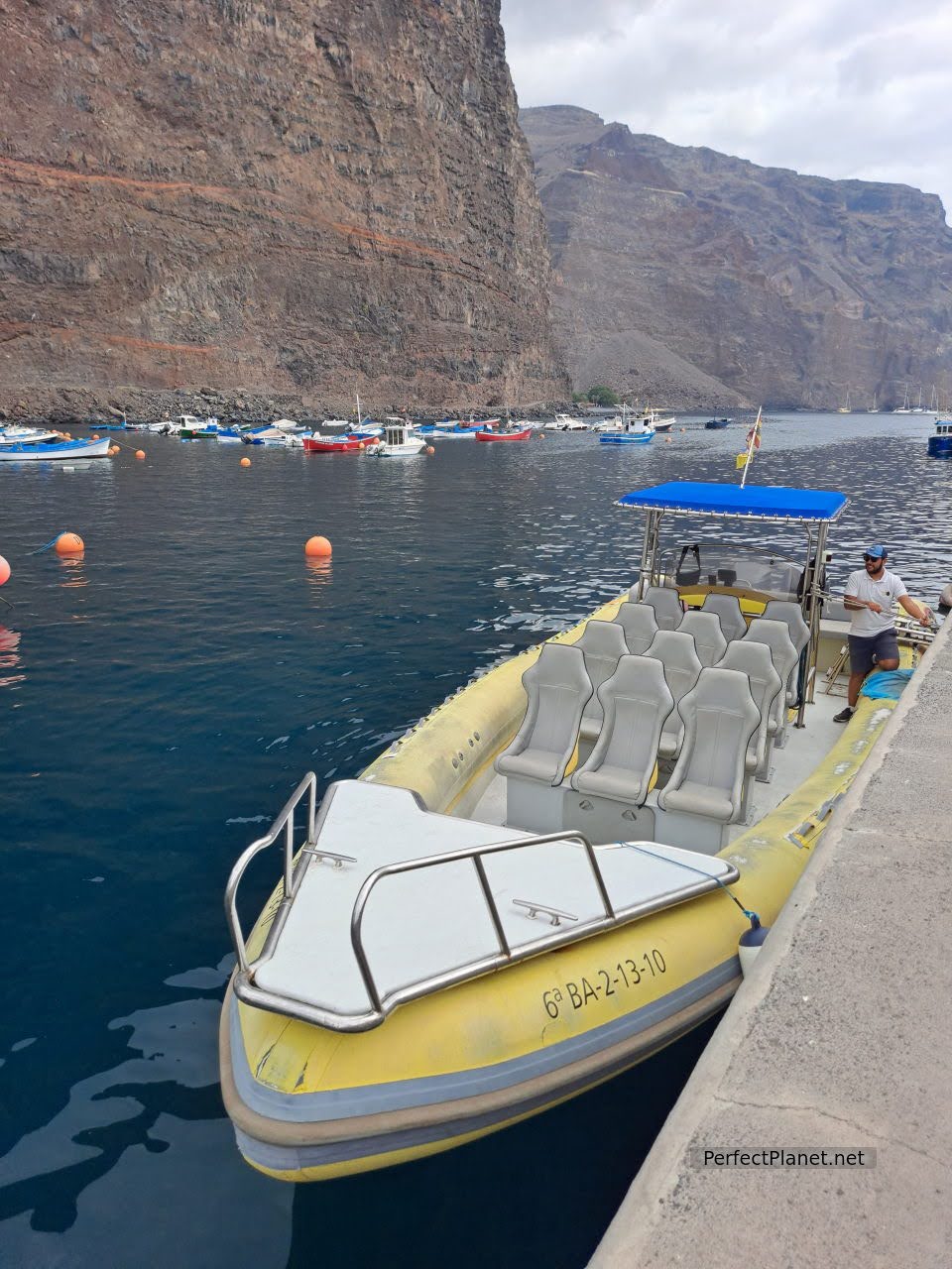
Speed boat
After enjoying a quiet afternoon on the beach, we stop at the viewpoint of El Valle to take a last look around. Here we meet Nela and Teresa, two Gomeras from Valle Gran Rey who tell us stories of their childhood and tell us how they lived, survived the post-war period and even emigrated to distant countries such as Venezuela to return to their origins. Could there be a better end to this day?
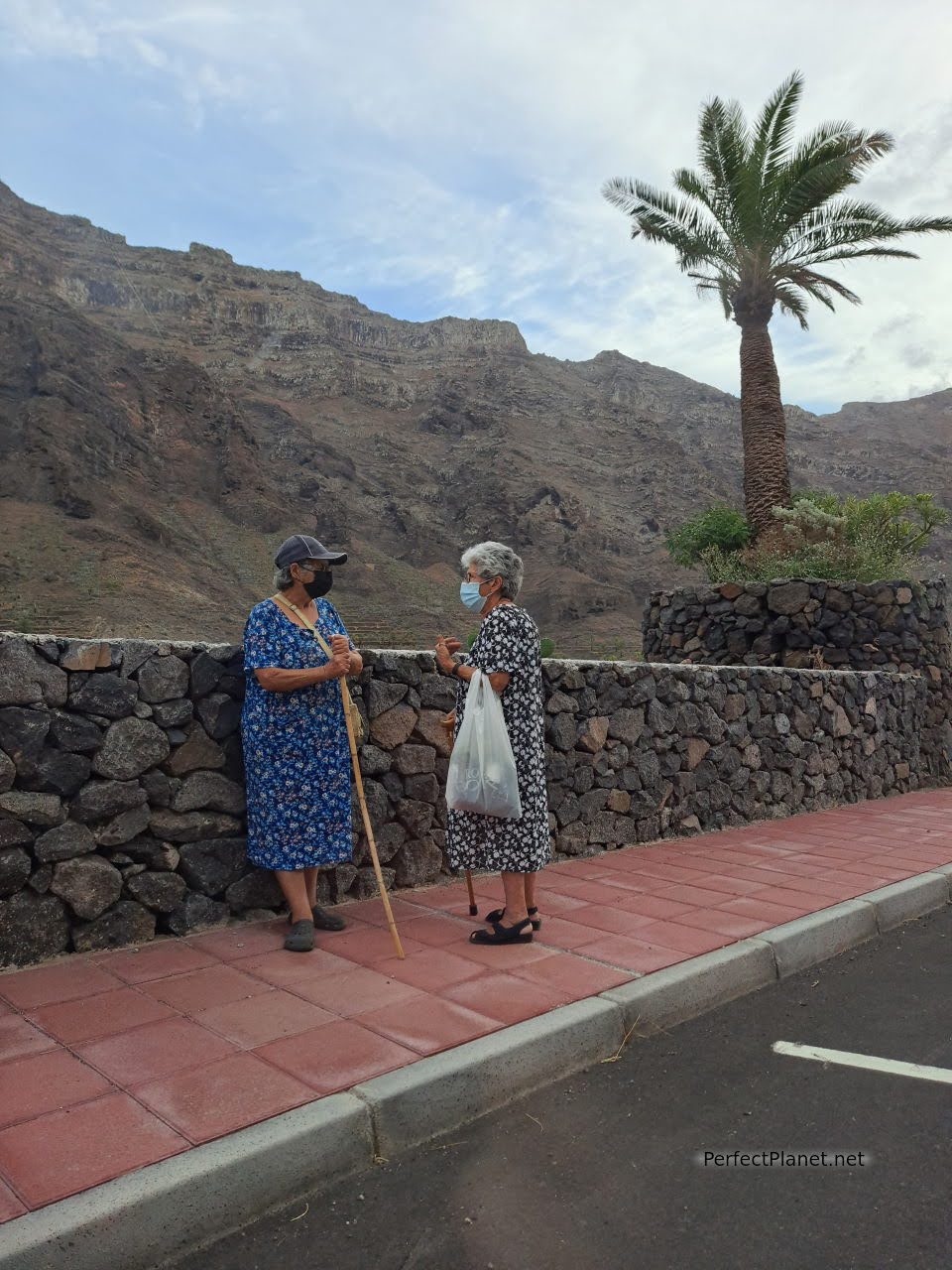
Nela and Teresa
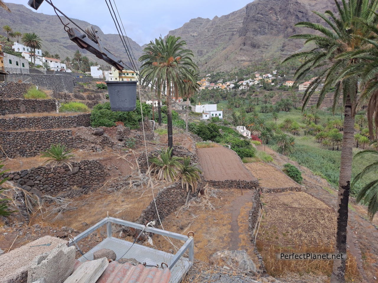
Palm trees
Day 4. La Rajita beach, Igualero viewpoint, Santiago beach.
Today we propose a trip along the south coast of the island of La Gomera.
From the GM2 at Las Hayas we take the CV18 towards Chipude to take the CV17 towards the south from where you can enjoy the views of the Chipude Fortress, the emblematic natural monument of La Gomera.
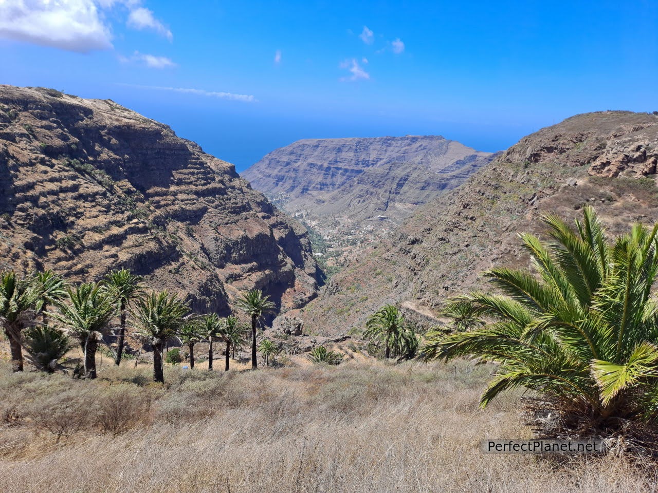
Ravine
From here, continuing along the CV17, between the ravines of Erque and Iguala, we reach the village of La Dama and follow the winding road to the beach of La Rajita.
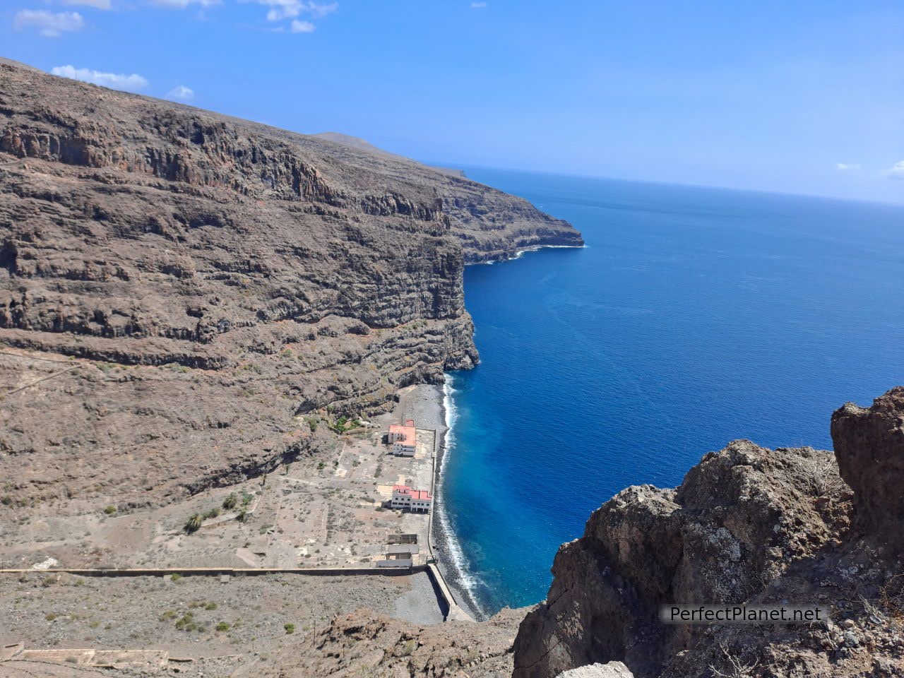
La Rajita
At the beginning of the 20th century, one of the largest canning and salting factories on the island was located here, of which only vestiges remain today. The cans of tuna, mackerel and caviar (a kind of pâté made from mackerel roe in oil and salt) made La Gomera famous. Around a hundred people were employed in this factory, houses were built for the families and even classes were given to the children, several generations lived together in this place.
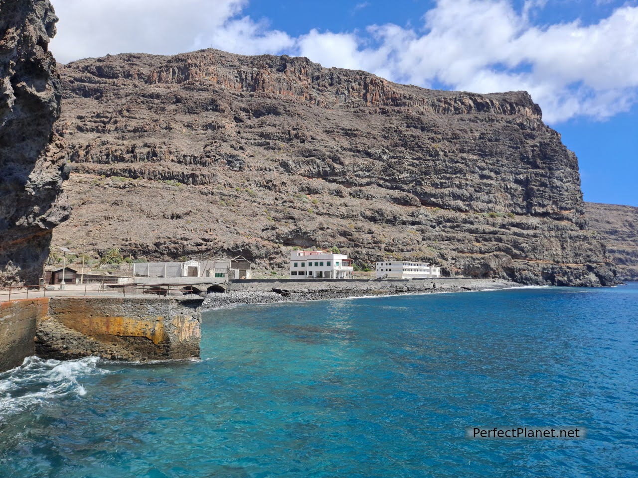
La Rajita
The direct access to the sea allowed the entire production process to be carried out, from the manufacture to the repair of boats.
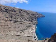
Nowadays, several buildings are still standing but it is abandoned. There is a black sand and pebble beach and a lovely little jetty where you can fish or have a swim. The water quality is good so don't forget your snorkelling goggles.
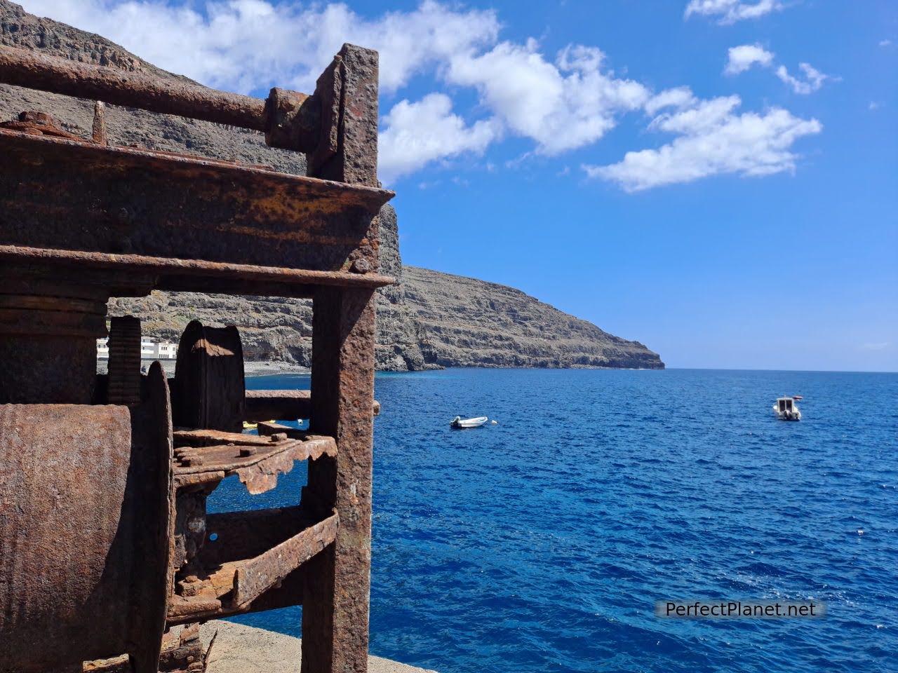
La Rajita
On the way back along the CV17 we stop at the Igualero viewpoint. A chapel and a monument to the silbo accompany spectacular views of the Erque ravine.
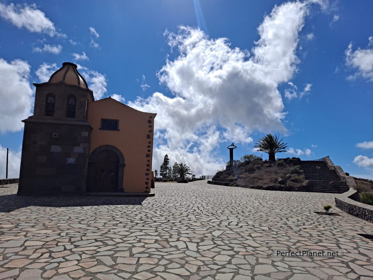
Igualero viewpoint
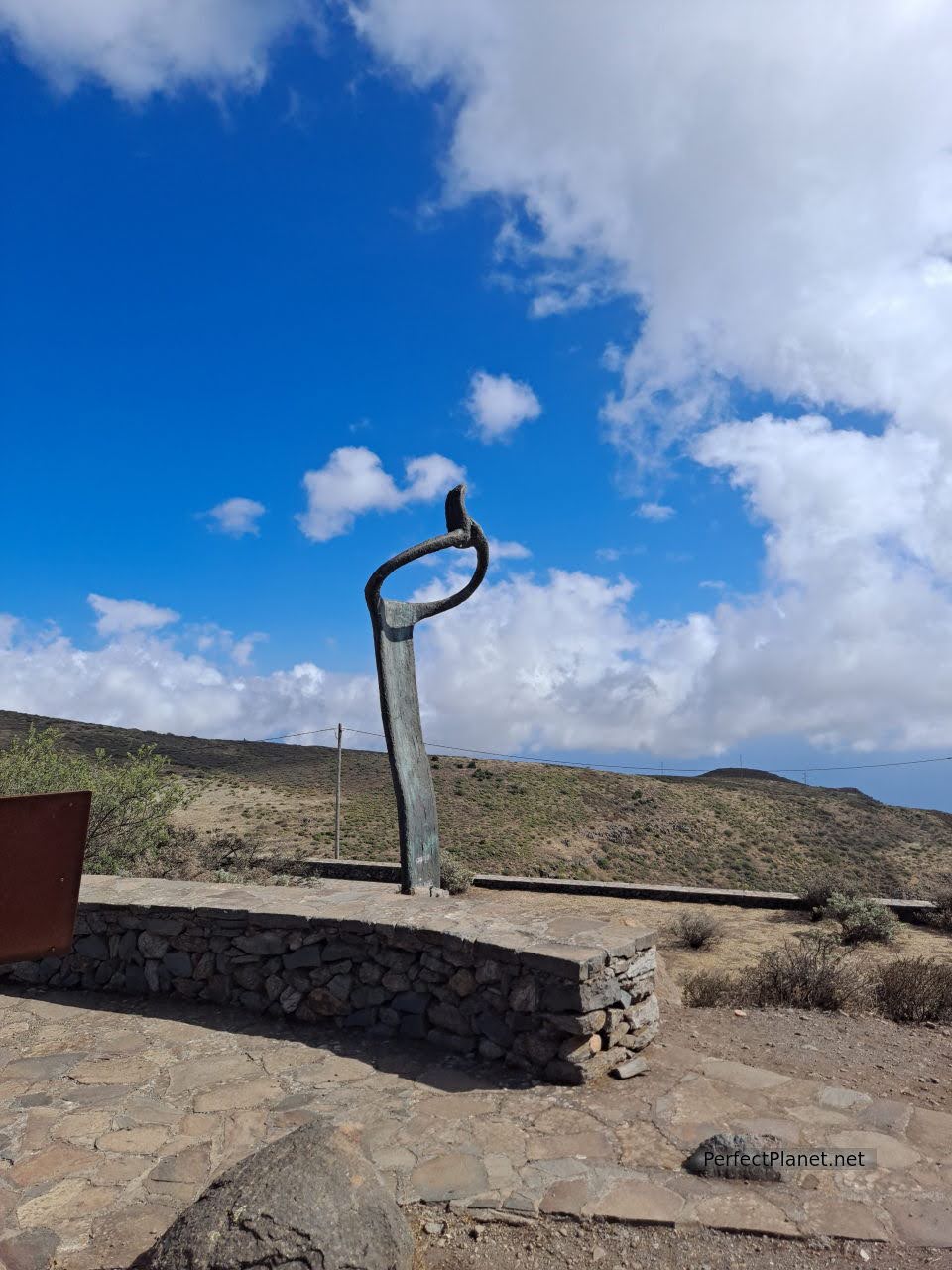
Igualero viewpoint
We continue towards Alajeró, where we can see the church of El Salvador and its square, until we reach Santiago beach, next to the La Gomera Airport.
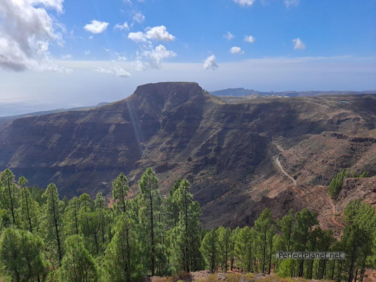
Views from Igualero viewpoint
Santiago beach is located in a small coastal village next to the fishing port and marina. There are several beaches of black sand and crystal clear waters.
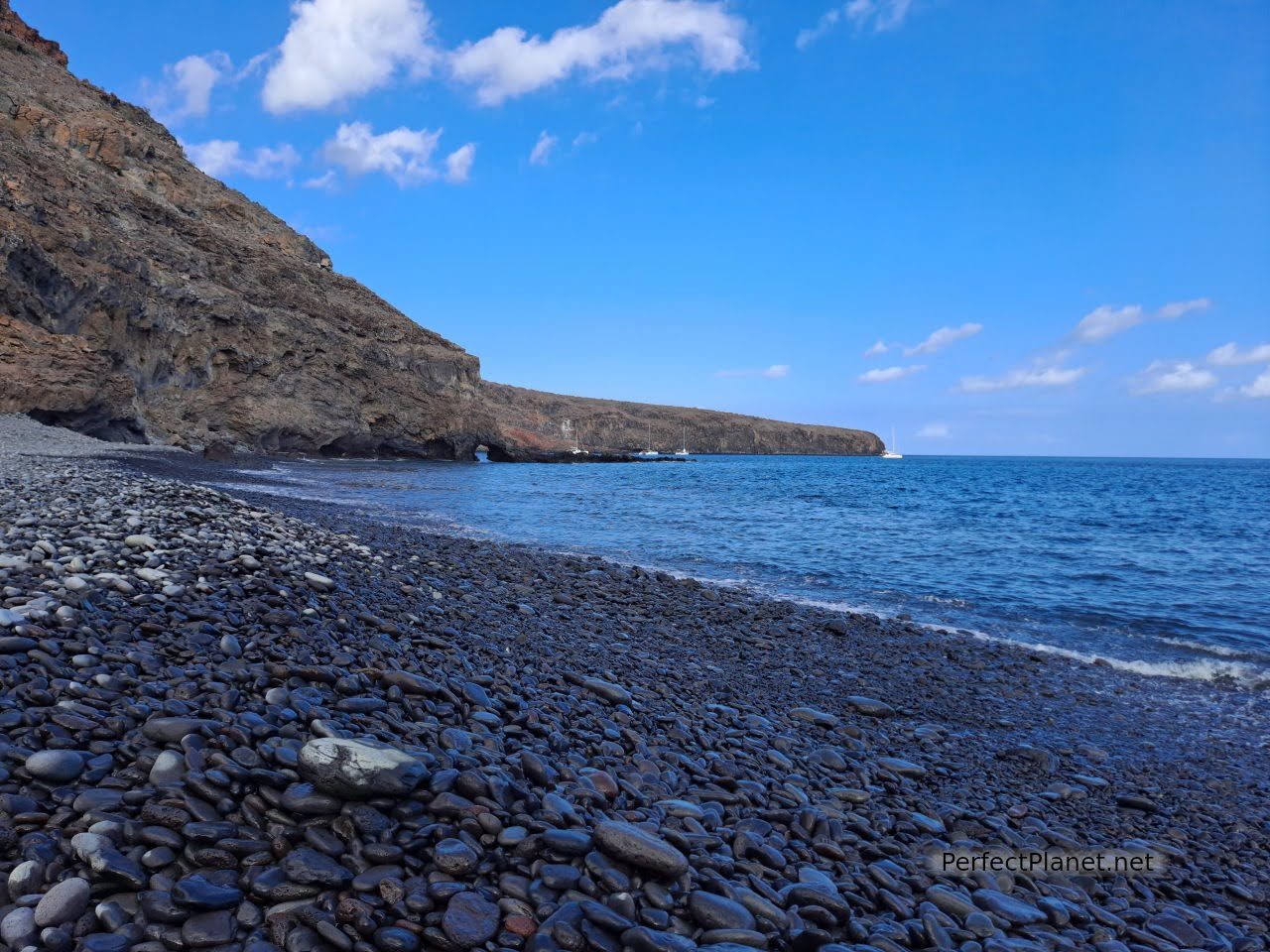
Del Medio beach
We recommend that you visit the beaches of Tapachuga, del Medio and Chinguarime. The access road to the latter is cut off, but you can get there by taking a ten-minute walk along the cliff. The views are spectacular and well worth it.
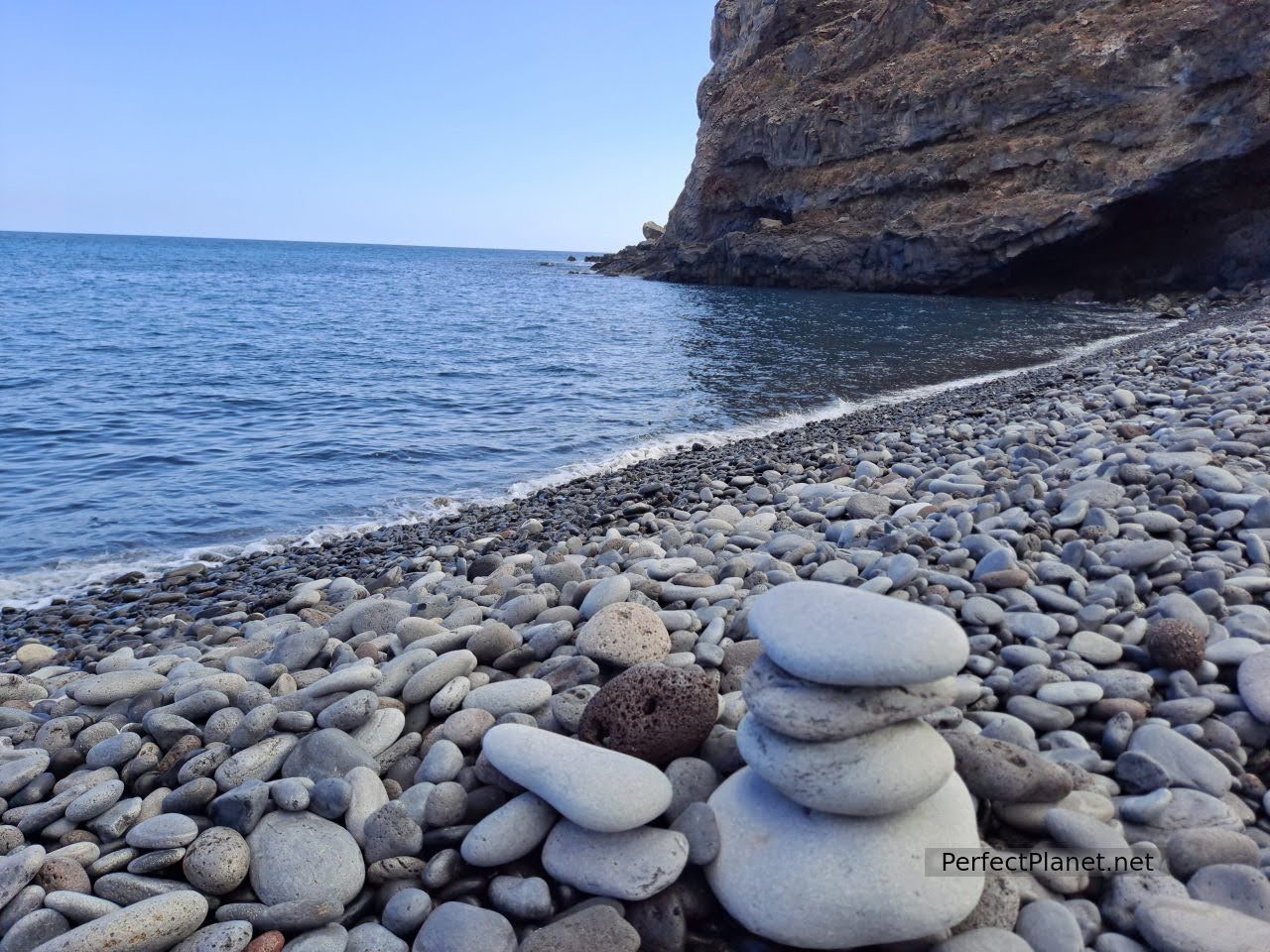
Del Medio beach
Del Medio beach is a great place for a swim. It is a quiet beach although it is quite rocky. There are caves on both sides. Don't forget your booties.
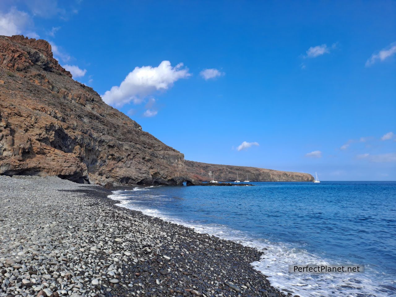
Del Medio beach
On the way back along the GM3 you can stop at the viewpoint Degollada de Peraza with beautiful views of the ravine of La Villa.
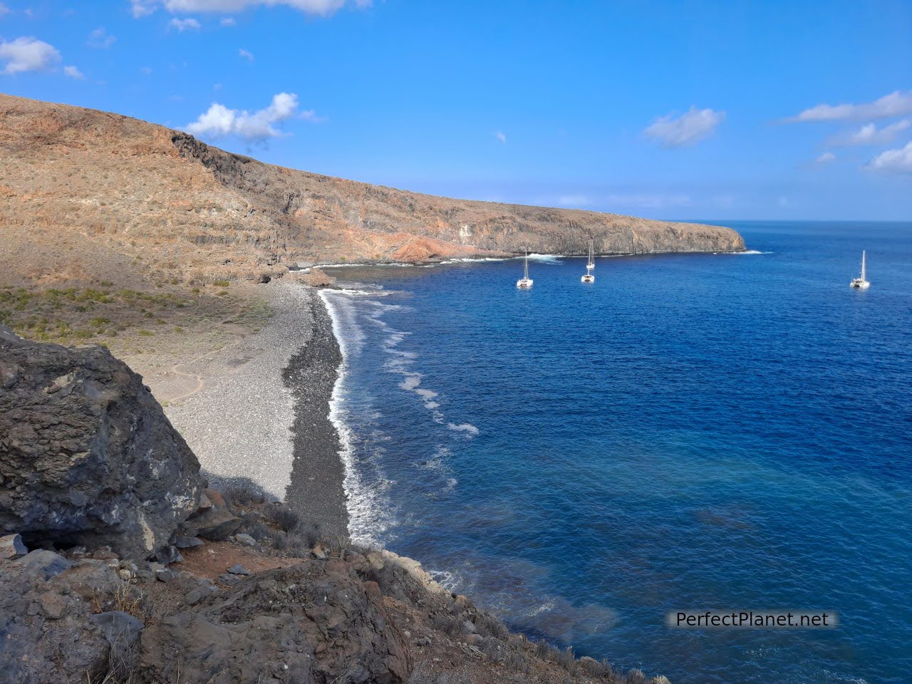
Chinguarime beach
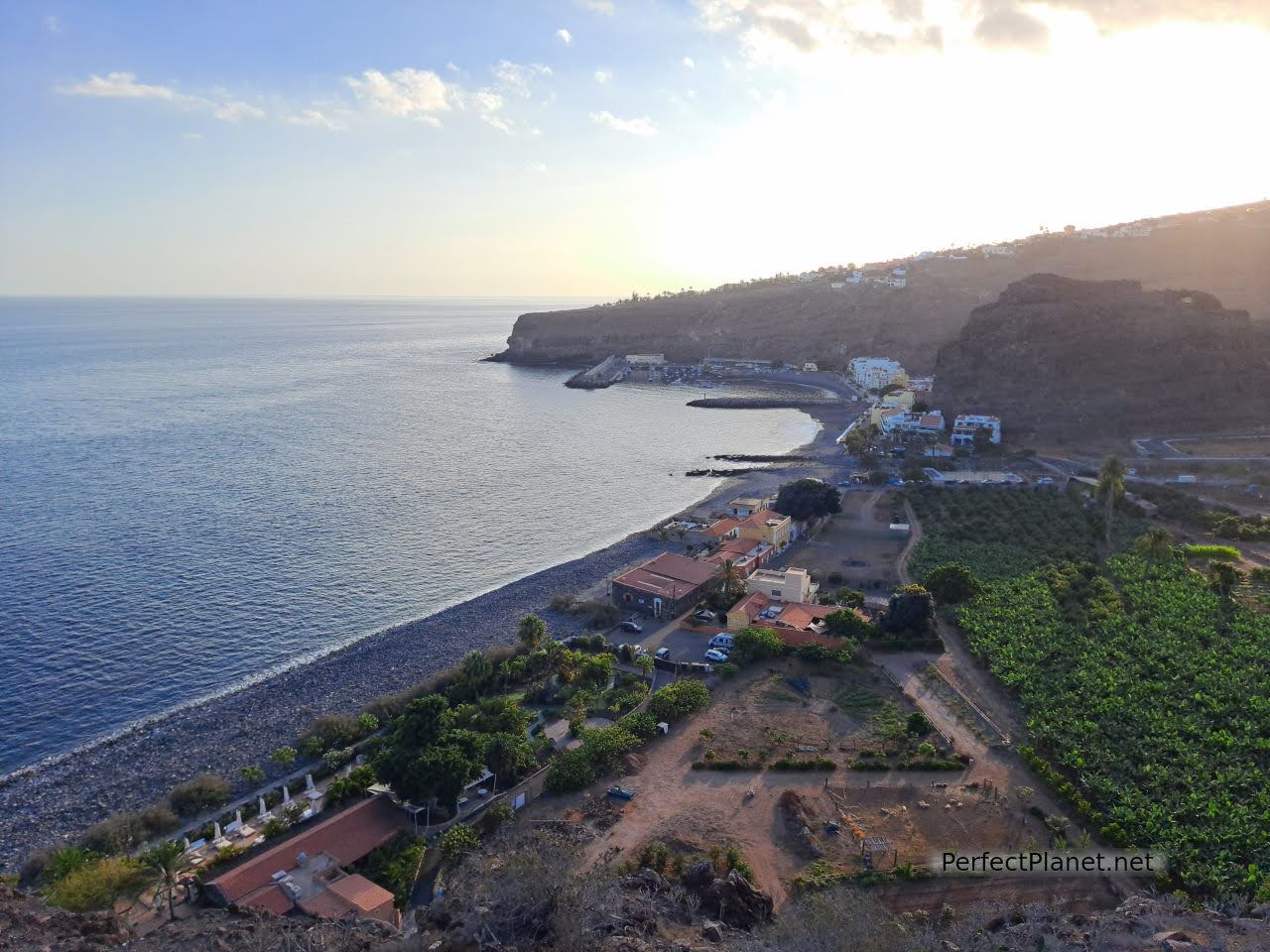
Santiago beach
Day 5. San Sebastián de La Gomera.
San Sebastián de La Gomera is the capital of the island. Houses with history, in the Canarian style.
Places of interest. Almost all the most important places in San Sebastián are related to the voyages of Christopher Columbus (three of his four voyages to the Indies stopped on the island). The Columbus Museum exhibits pre-Columbian art from Peru and the Casa Aguada or Customs House has a permanent collection on the discovery of America (although it is currently closed).
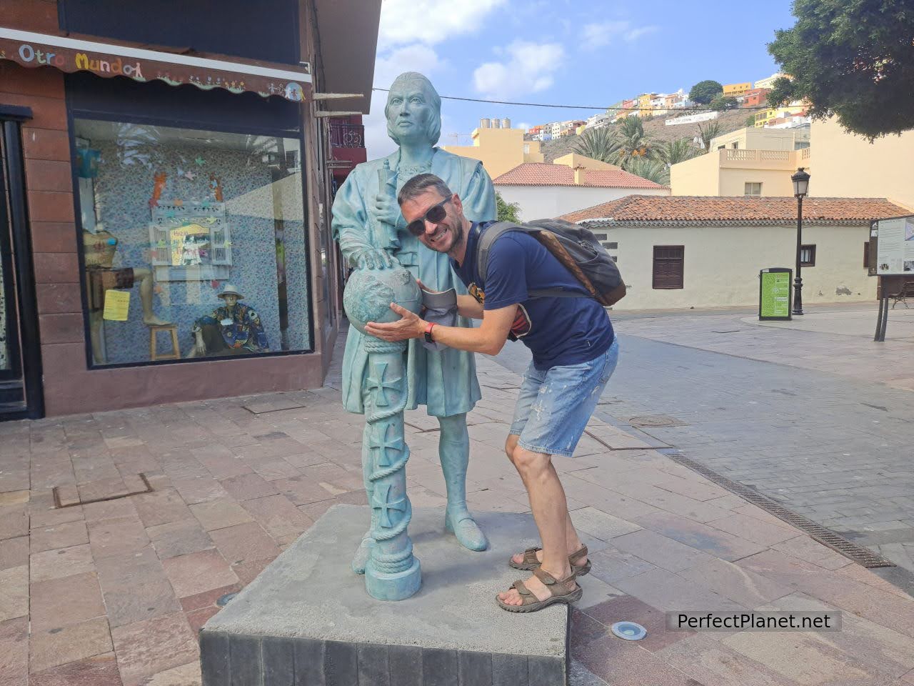
Cristobal Columbus
Other outstanding buildings are the Conde Tower, a 15th century fortress and the most important example of Canarian military architecture; the Asunción church and the San Sebastián hermitage.
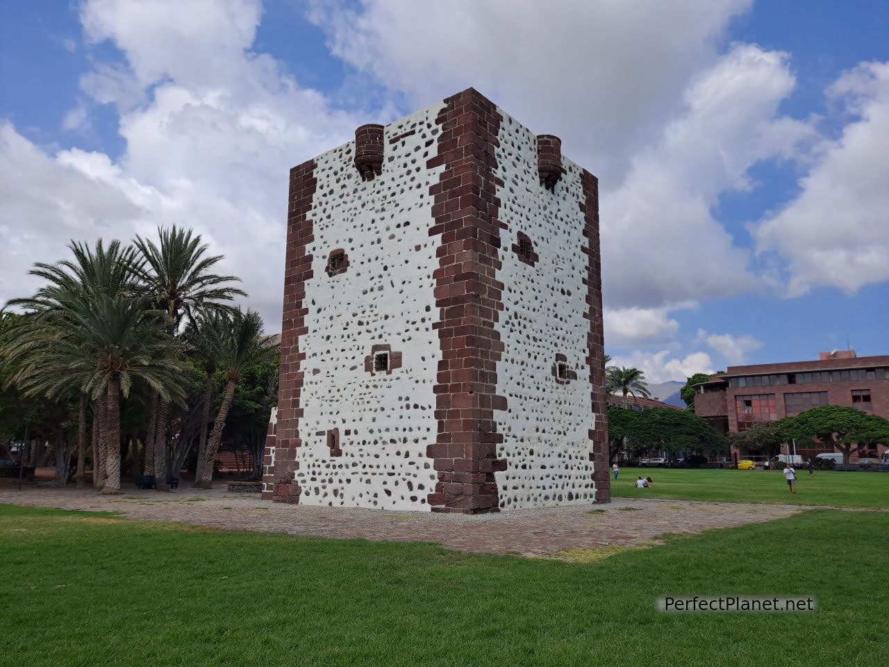
Conde Tower
If you visit the city with your own vehicle, there is plenty of parking in the Barranco de la Villa ravine located between the Torre del Conde Park and San Sebastián beach.
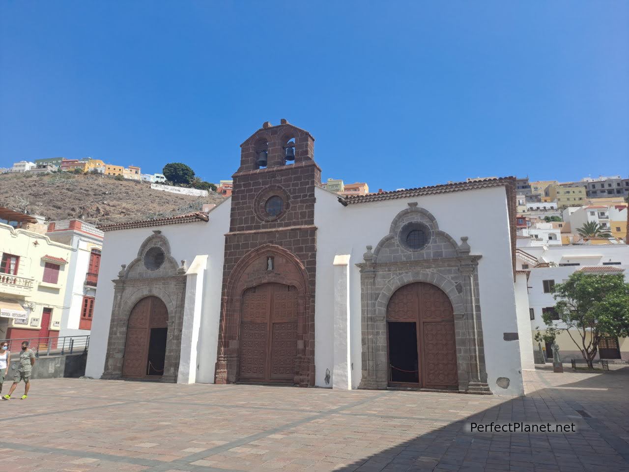
Asunción church
The beach of San Sebastian is quiet, protected by the harbour breakwater. It has black sand, easy access with beach umbrellas and showers.
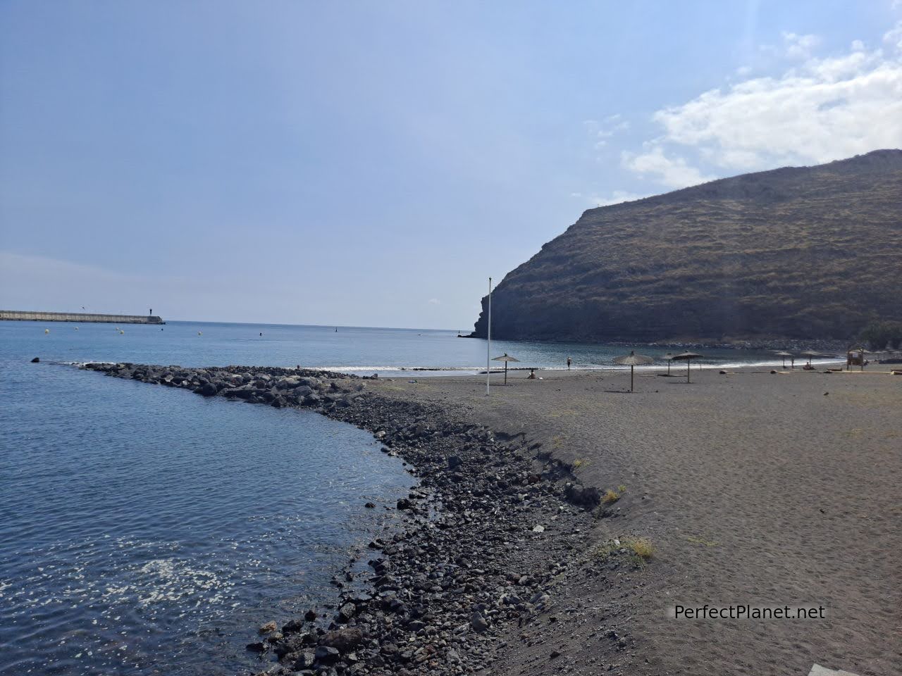
San Sebastián beach
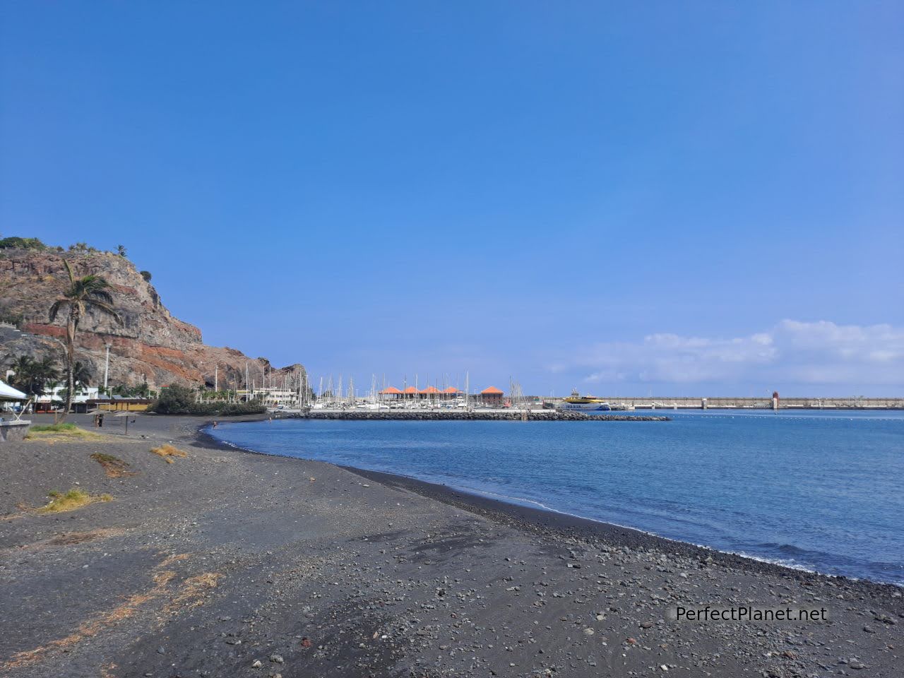
San Sebastián beach
For lunch we recommend Breñusca restaurant. Good food at a good price, they are very nice. Menu 9€/pax. Tapa of the house and typical grilled meat or fish with papas arrugadas, salad and drink.
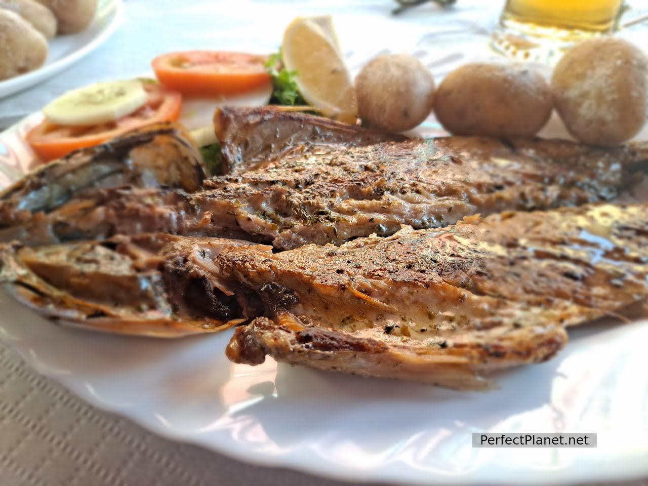
Fish with potatoes
At Zumería Colón we had a delicious ice cream.
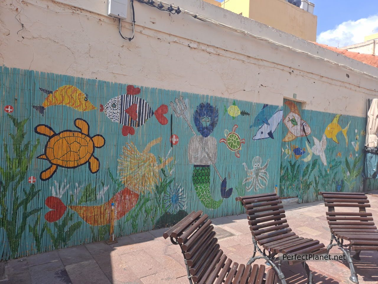
San Sebastián de La Gomera
If you prefer to have a drink, there is a kiosk and several restaurants in the Constitution Square. Good shade.
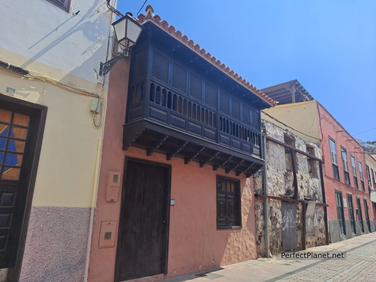
San Sebastián de La Gomera
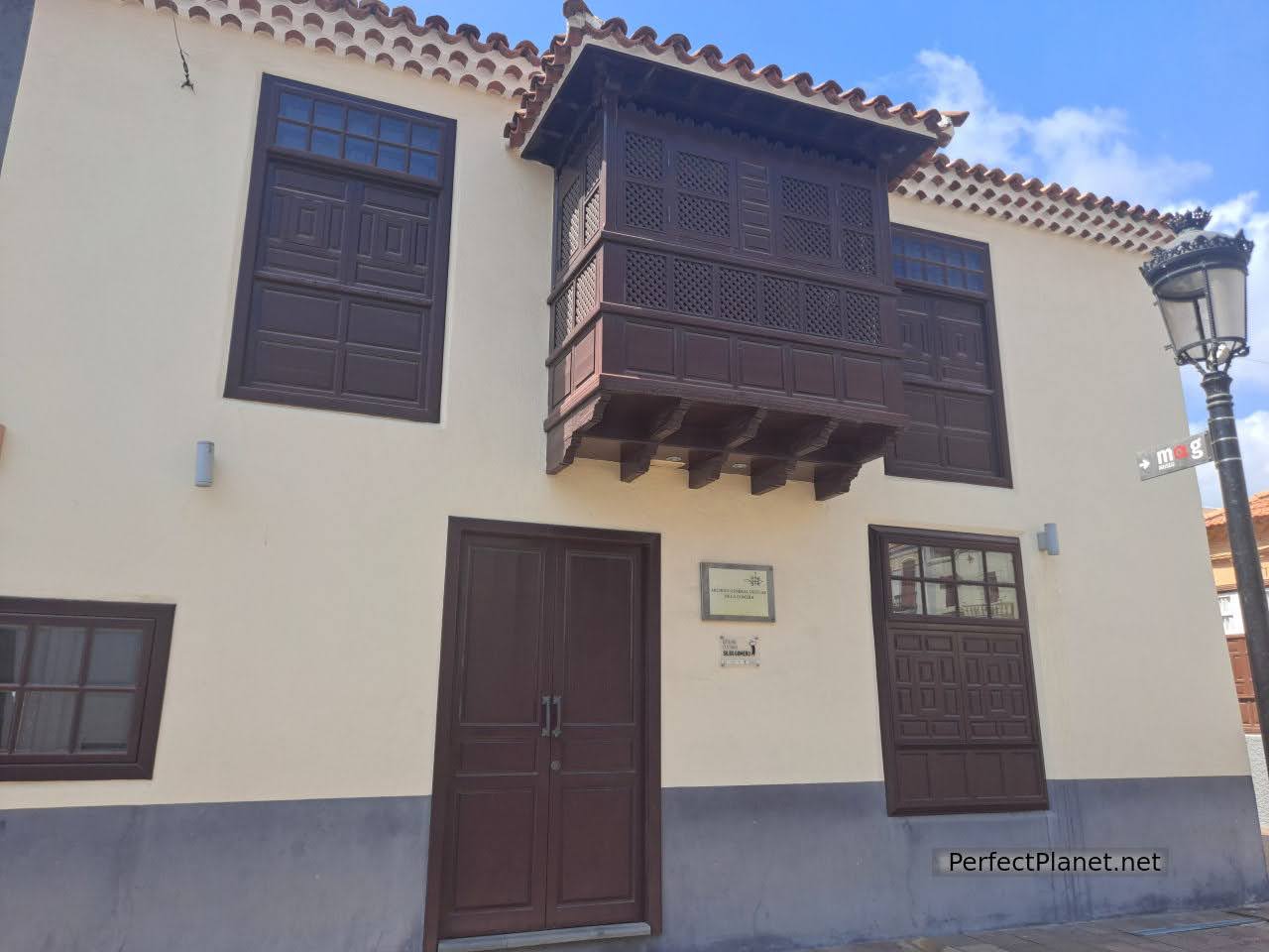
San Sebastián de La Gomera
Near San Sebastián you will find the lighthouse and the Punta de San Cristobal, the beach of Ávalo or the beach of La Guancha.
Map
- Log in to post comments

