At 2,142 metres high, Peña Ten is one of the mythical peaks of the Riaño and Mampodre Regional Mountain Park and the Ponga Natural Park.
Peña Ten
Peña Ten is also known as the roof of Ponga.
The town of La Uña has an important livestock herd, which is its main activity.
Path
How to get there
Our route starts and ends in the town of La Uña in León, located on the CL-635 road.
Description
We start from the town of La Uña in León to begin this beautiful circular route, reaching the summit of Peña Ten.
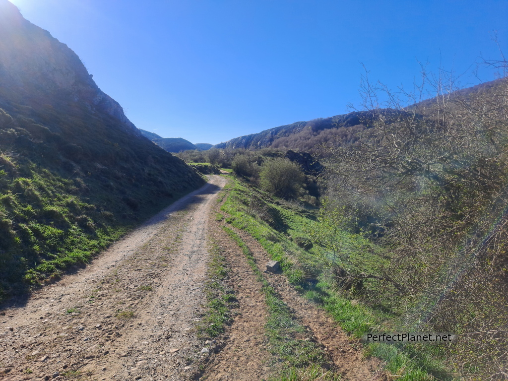
The first kilometre is along the road until we reach a small intersection on the right hand side, where after crossing a small bridge over the river Esla, we follow the path known as the Ventaniella path in a northerly direction between cattle pastures.
Path
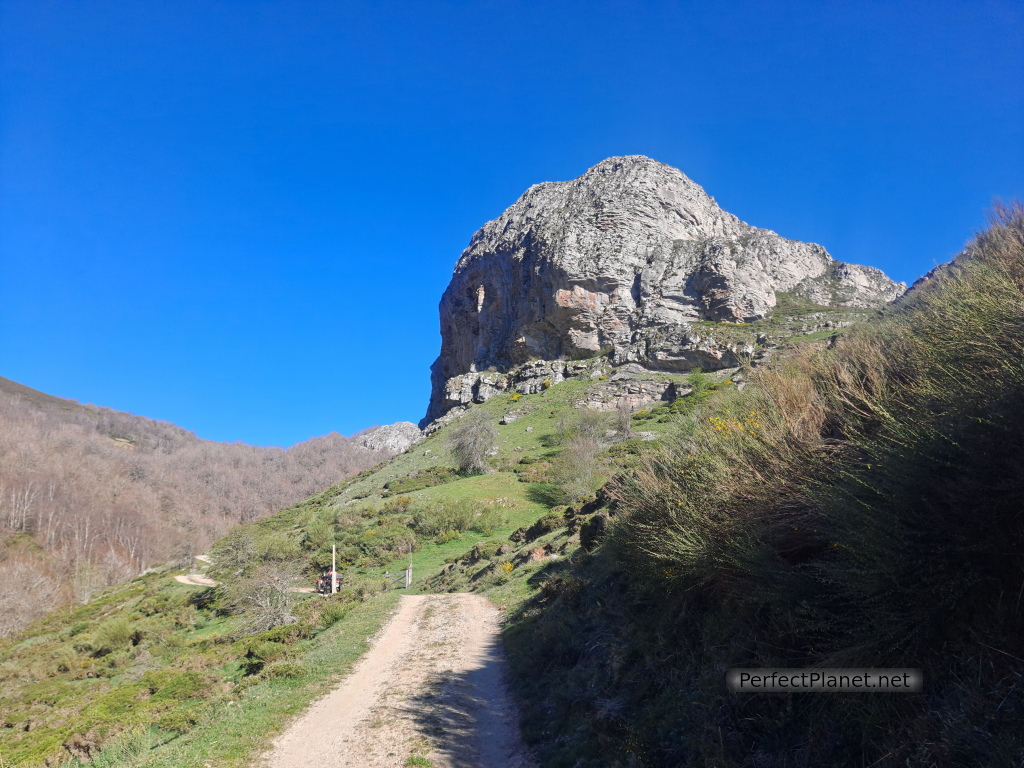
We continue along the path leaving the Peña de Castiello to our right and to our left the Valdosín stream with its beautiful waterfalls.

Peña Ten
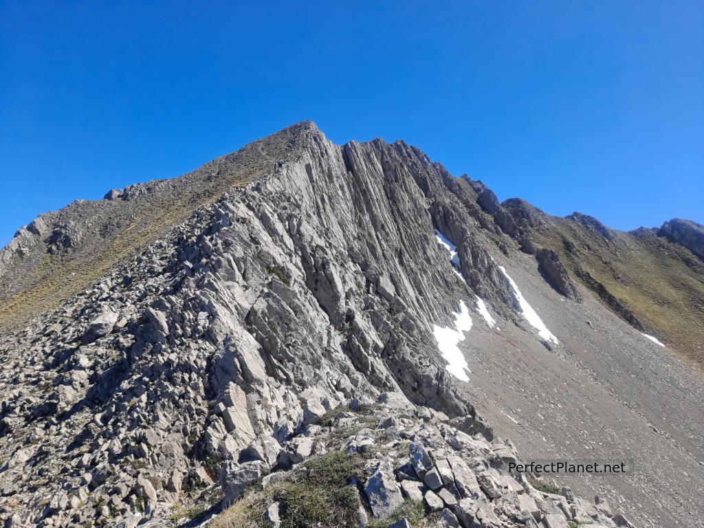
We continue to the Lario sheepfold where we turn right to the refuge of the Polvoredo sheepfold. From here we follow the path to the left towards the Rebollar mountain, which we go round to start the steep slope, first a path, Corvas por las Pedrices, and then grassy, which will take us to the ridge.
Peña Ten
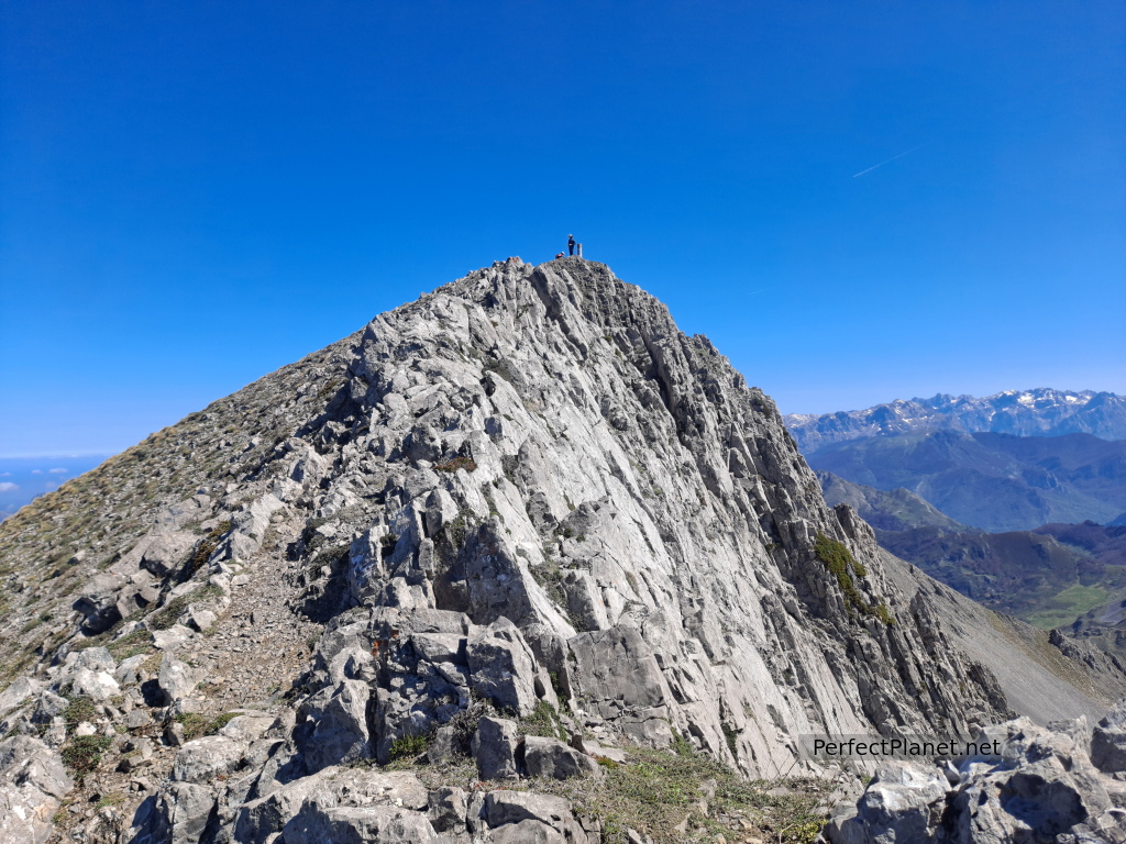
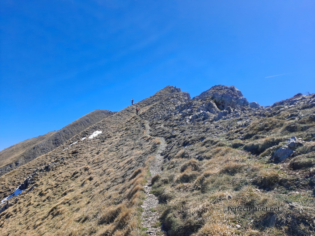
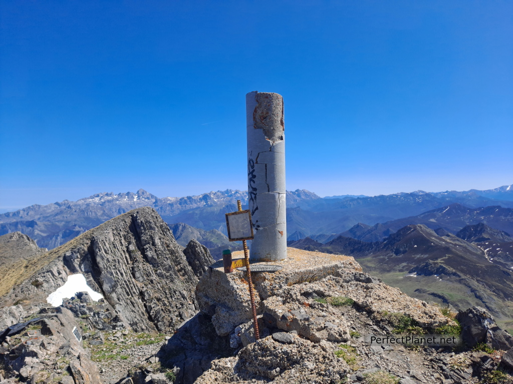
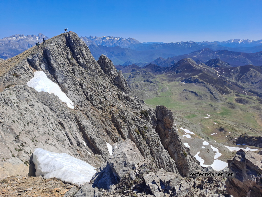
We climb until we reach the summit located on the second glacier cirque.
Peña Ten
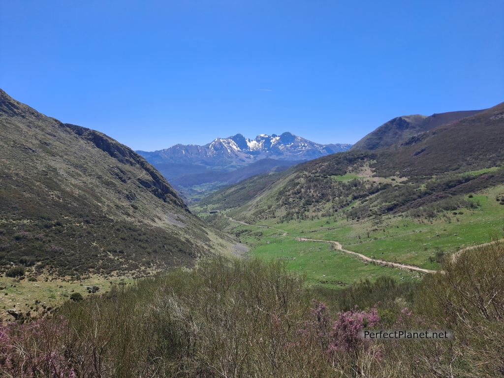
The views are spectacular, Picos de Europa, Mampodre, Yordas...
Peña Ten
We meet a group of mountaineers who have set off from La Uña but finish their route in the Ponga Park.
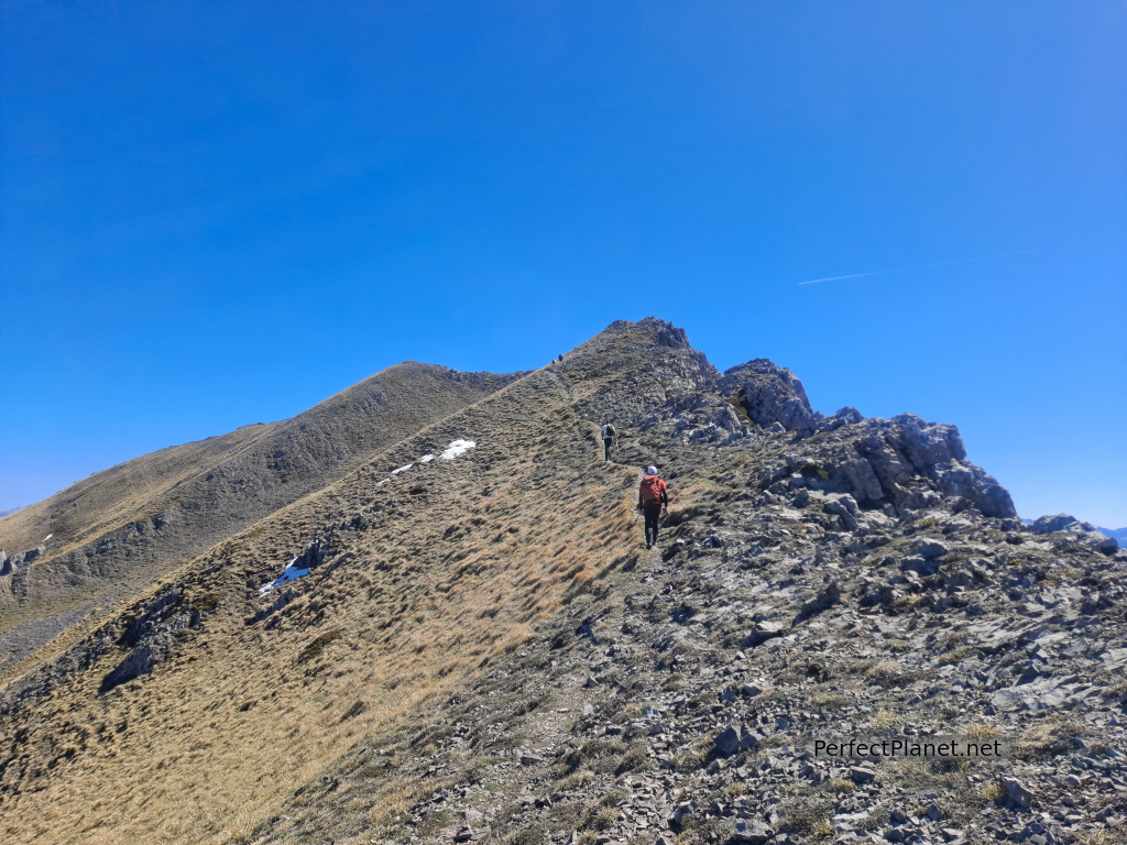
We continue walking until we reach a second secondary summit at 2,082 metres.
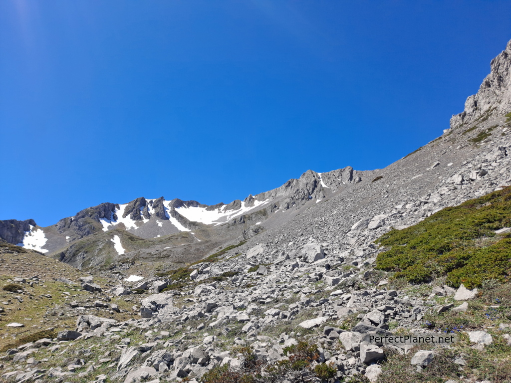
Our route continues along the ridge until we reach the third glacial cirque along which we descend following a very broken path of loose stones.
Peña Ten
We start the descent with a very pleasant couple with whom we continue until the end of the route.
Once we have descended the canal we head towards the Puerto de la Fonfría, to look for the track of the Camino de Arcenorio.
From this point the track is wide and easy, crossing the valley of Carcedo and the Campos de María.
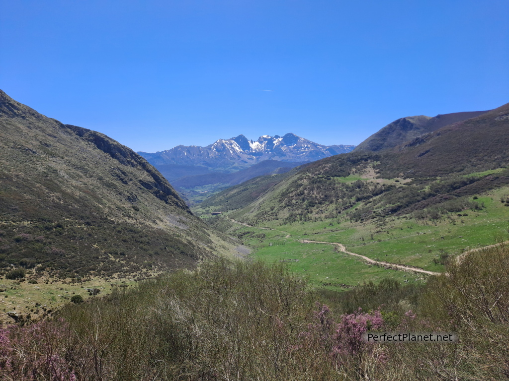
Mampodre
At the Campos de María sheepfold we take a path that is not very well marked and crosses the meadows to return to the track and finally reach La Uña.
Distance 16 kilometres
Difference in altitude 1,100 metres
Circular route
Whoever makes full or partial use of this track and its additional information, assumes full responsibility for the risks inherent in the practice of the activity, this information is for guidance purposes only.
Map
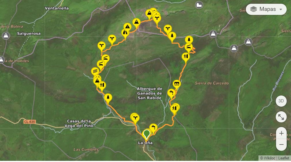
Map
- Log in to post comments